

Caldy Hill
Good walks are even better shared.
SJ2285 : Caldy Road (B5141)
JThomas Photo source
Overview
Caldy Hill: A Hidden Gem on the Wirral Peninsula
Elevating your spirits as much as it elevates above sea level, Caldy Hill is an accessible and rewarding hill for walkers of all abilities. Nestled within the green paradise of the Wirral Peninsula, it demands only a modest effort for staggering views.
Geology
Caldy Hill is crafted from sandstone, which underlines its robust and weathered appearance. Walking over its gentle slopes provides glimpses of glacial deposits that tell stories from eras long past. If rocks could talk, they'd regale you with centuries of history!
Routes and Access
The Caldy Hill Circular Walk is not only a mouthful but also an experience worth the exertion. Clocking in at about 4.5 km, it meanders through quaint woods before making its ascension toward the summit. Starting from Caldy village, it's a breeze for families and seasoned walkers alike. As life's roundabout, it offers the option to pursue further explorations around the scenic coastal area.
Parking can be found along village roadways, though the residents would appreciate it if you kept it respectful. If public transport is your jam, buses roll in regularly from surrounding areas. West Kirby is the nearest larger town, providing amenities if you wish to stretch out your visit.
Summit Features
At the very top, you’ll find a humble trig point waiting to bear witness to your triumphant ascent. Beside it, a friendly wooden bench beckons tired hikers to take a load off. The views from Caldy Hill are well worth the climb, showcasing the beauty of both the Dee Estuary and the distant Welsh hills. Catch a glimpse of the Liverpool skyline as you breathe in the crisp air.
Facilities
Make sure to refuel after your adventure! The local cafés and pubs are known for their welcoming atmosphere and hearty fare. Toilets are conveniently located at nearby parks, which are a welcome sight when nature calls.
Hazards
As with many a walk in the countryside, precautions are essential. Slippery paths can occur in wet weather, so tread carefully. You may also cross paths with local wildlife like deer, so remain vigilant.
Conclusion
In essence, Caldy Hill could easily become your new favourite spot, urging you to return time and again. With gracefully rolling terrains, scenic displays, and the most charming atmosphere, it invites you to explore, ascend, and unwind.
Get your boots on and get out there!
Explore routes near Caldy Hill
Walks starting near this hill. Open a route to check its map, distance and full itinerary.
Liverpool Waterfront Walk with Men Walking & Talking
View route
Dyserth to Prestatyn: old railway walkway return
View route
Chester Walk with Men Walking & Talking
View route
Waverton to Chester Shot Tower: Shropshire Union Canal Return
View route
Route planning notes
These notes describe possible approaches. Check a route's map and access information when planning your walk.
Caldy Hill Circular Walk
A popular circular route starting from Caldy village, offering pleasant woods and sweeping views over the Dee Estuary.
Make a day of it, together
Find someone to share the walk with, or organise a day out along a route you like.
Photo Gallery
View all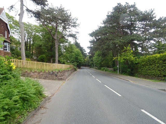 Photo could not load
SJ2285 : Caldy Road (B5141)
JThomas
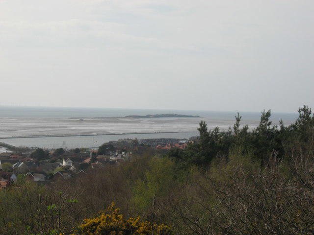 Photo could not load
SJ2285 : Hilbre Island from Caldy Hill
David Jones
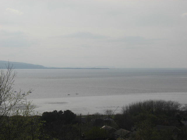 Photo could not load
SJ2285 : The Dee Estuary and across to North Wales from Caldy Hill
David Jones
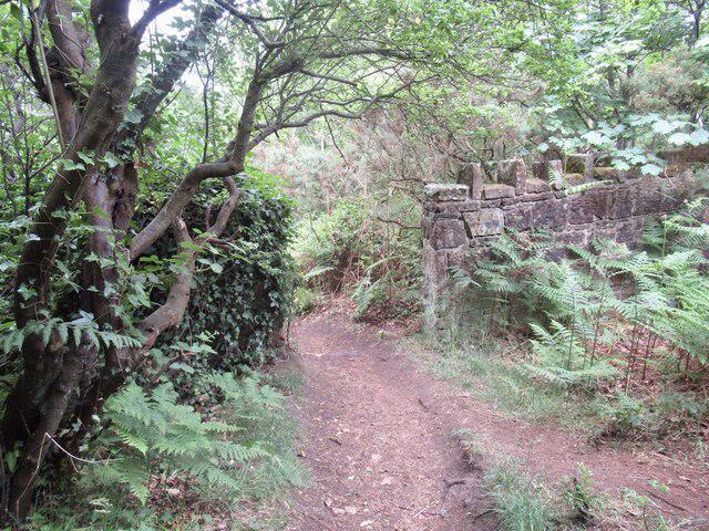 Photo could not load
SJ2285 : Wall, Caldy Hill
Richard Webb
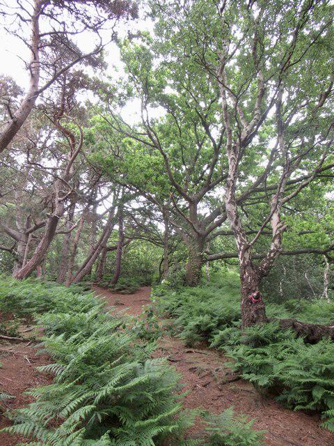 Photo could not load
SJ2285 : Woodland, Caldy Hill
Richard Webb
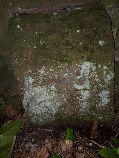 Photo could not load
SJ2285 : Old Boundary Marker
J Watt
Hill facts and local notes
Classifications
Elevation
77m
253 ft
Prominence
51m
Coordinates
53.3613, -3.1664
SJ224855
OS Map
108
Explorer: 266N
At the Summit
The summit features a small wooden bench, perfect for a rest and taking in the views. A modest trig point marks the highest point.
Terrain & Geology
Caldy Hill is primarily composed of sandstone, which has weathered over time to create a variety of interesting landforms. The elevated position provides a snapshot of the surrounding geology, including glacial deposits typical of this area.
Views & Scenery
Stunning views of the Welsh hills across the Dee Estuary and the distant skyline of Liverpool.
History & Heritage
Name Origin
The name 'Caldy' may derive from the Old Norse 'kaldr', meaning 'cold', possibly referring to the area's frigid winters.
Historical Significance
Caldy Hill has been a point of interest for locals for centuries, with its scenic views and rich biodiversity making it a cherished spot.
Getting There & Facilities
Parking
Caldy village has several roadside parking spots available, though be mindful of residential areas.
Public Transport
Regular buses operate from nearby towns such as West Kirby and Heswall, making it accessible for those without a car.
Nearby Facilities
Cafés and local pubs can be found in Caldy village, with toilets available at the nearby coastal park.
Safety Information
Known Hazards
- Slippery paths in wet weather, wildlife such as deer may be encountered.
General Safety Tips
- Check weather conditions before setting out
- Carry appropriate clothing and equipment
- Let someone know your planned route
- Take a map, compass, and GPS device
- Carry emergency supplies: food, water, first aid kit, torch
Hills
Some common questions about the hills answered
Are there group walks up Caldy Hill?
Many walkers use Walkmates to join or organise walks with others. You can check for group walks around Caldy Hill through the maps
Are there other walkers around Caldy Hill?
Activity varies by location and time, but Walkmates lets you see whether others have shared walks or shown interest in this area. Find other people through the walking friends search walking friends for Caldy Hill search or of course create your own walk for Caldy Hill
Can I organise a walk to Caldy Hill?
Yes. If there aren’t any walks listed already, you can create a walk and make it available for others to join.
If you're signed up to Walkmates, you can create a walk to Caldy Hill.
How do I find a walk up this hill?
There are often multiple ways to walk this hill, depending on experience and route preference. Walkmates helps you explore walks and routes that others have shared.
Can I suggest a new route up Caldy Hill?
Yes. You can suggest or create routes to share with others. Walkmates focuses on the social side of walking, so routes are used to help people organise walks and explore areas together, rather than as detailed navigation tools or route libraries.
Other uses really appreciate knowledgeable walkers sharing their routes. Share your favourite route to Caldy Hill here
The is an error or something incorrect about this hill. How do I let you know?
We always strive to keep the information on Walkmates as accurate as possible. If you find an error, please let us know through the contact form and we'll aim to correct it as quickly as possible
Community Discussion
Comments
Location
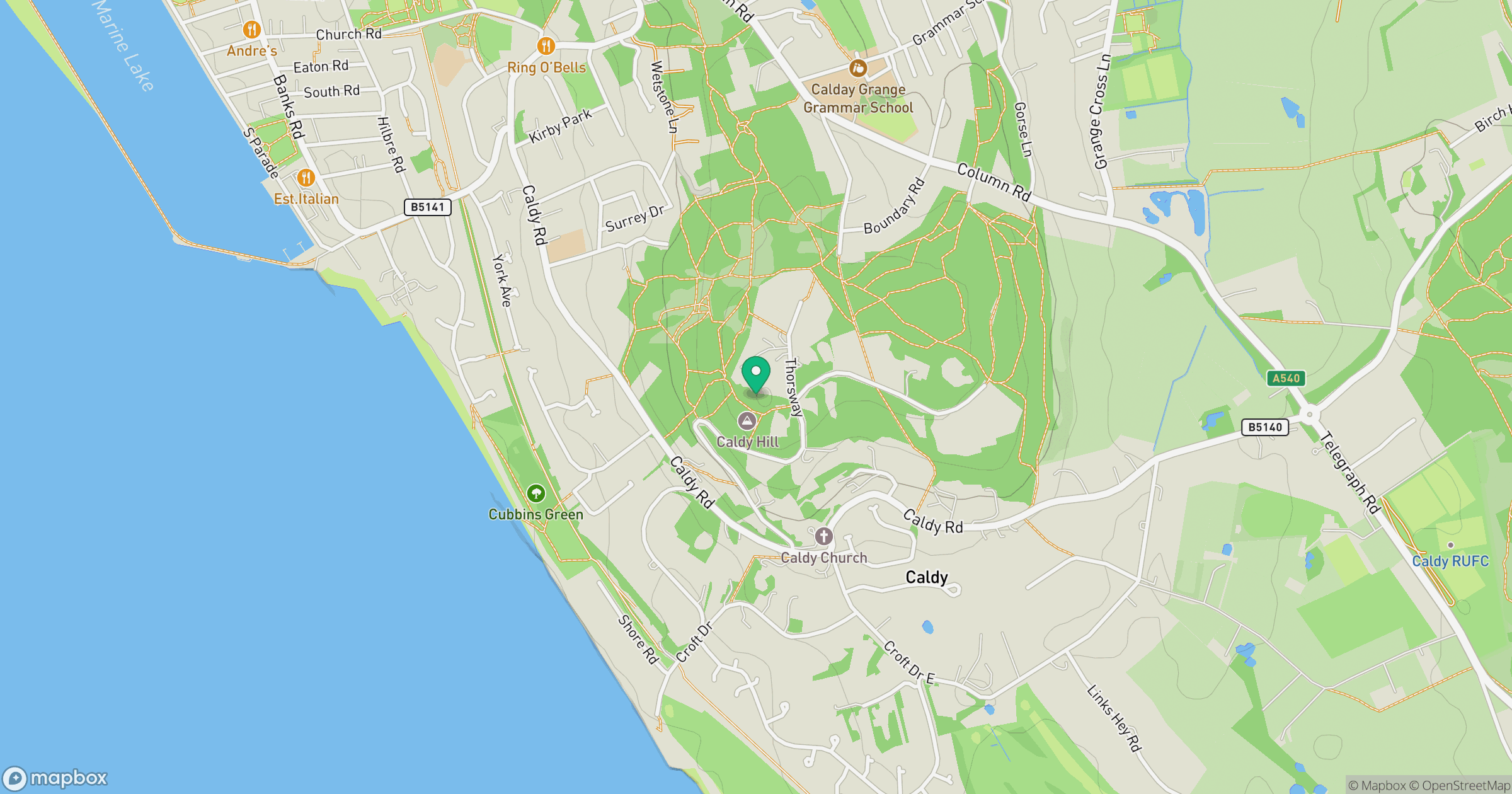
Grid reference: SJ224855
View on OpenStreetMapOpens a map in a new tab, centred on the hill.
No comments yet. Be the first.