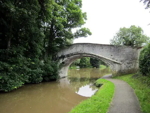
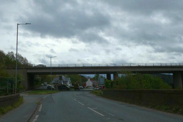
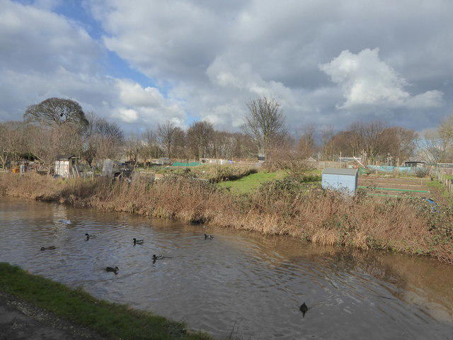
Start at the public canal-side car park off Eggbridge Lane in Waverton, beside Egg Bridge 119. Follow the short surfaced link from the car park onto the towpath and turn towards Chester, passing beneath Egg Bridge. Stay on the same main towpath throughout the outward walk. It leads past canal-side gardens and open fields to Rowton Bridge, Quarry Bridge and Christleton, then beneath the A55 and A41 into Boughton.
Continue past Christleton, Greenfield, Tarvin Road and Chemistry locks. After Hoole Lane Lock and its bridge, the canal opens into the former industrial area around the tall red-brick Chester Shot Tower. Turn back on the towpath opposite the tower, near the footbridge, and retrace the same route to Egg Bridge and the car park. There is no need to cross a lock gate or leave the canal onto busy roads.
Allow about three hours for roughly ten kilometres, including brief pauses at the locks and bridges. Most of the route is surfaced and gently graded, with short slopes beside locks and uneven brick paving beneath some bridges. Some passages are narrow, and the canal edge is unguarded in places. Give way to other walkers and cyclists, keep children close beside the water, and keep dogs under control. Wet leaves, mud and paving can be slippery. This is not presented as a step-free route.
Waverton has village shops near the start; Christleton and the Chester end have places to buy refreshments, with opening times to be checked separately. Check the car park signs for current restrictions and any temporary towpath notices before leaving. This route stays north-west of Egg Bridge and does not use the deteriorated access steps reported at Davies Bridge 118.
Route and access checked against Cheshire West and Chester Council's Brown Route map, the parish cycling plan published by Christleton Parish Council, and Canal & River Trust canal information and notices. The walk uses the Waverton to Chester section as an out-and-back.