

Caer Caradoc
Good walks are even better shared.
SO3075 : Sheep pasture
Jonathan Billinger Photo source
Overview
Caer Caradoc: A Hiker's Delight
Nestled in the stunning Shropshire Hills, Caer Caradoc stands proudly at 397 meters, boasting both elevation and beauty. It’s a Marilyn, which is just a fancy way of saying it has a prominence of over 150 meters. This means it’s not only a hill; it's a proper mountain in its own right!
Geology
The hill is primarily made up of sandstone, which contributes to its rocky summit and offers a glimpse into the geological history of the Shropshire Hills. The erosion and sedimentation processes have created unique features that are both visually striking and educational, if you’re in a learning mood (or just want to impress your friends).
Routes
The most popular way to tackle Caer Caradoc is the Caer Caradoc Circular Walk, a delightful 6.5 km trek that takes most hikers around 2.5 hours, depending on your tea break schedule. This moderate trail is well marked and offers a bit of everything: grassy paths, rocky climbs, and views that will have your jaw dropping faster than a selfie stick can be extended.
Summit Features
At the summit, you’ll be greeted by a rocky outcrop and a friendly stone cairn. It’s the perfect spot for a coffee break—or a cheeky biscuit if you’ve packed some. Just don’t drop it; the sheep are always on the lookout for an easy snack!
Terrain
Expect a variety of terrains, from grassy slopes to rocky outcrops. Just be mindful of those muddy patches during wetter months; they have a knack for turning instead into a slip-and-slide.
Views
The summit rewards your efforts with astonishing views over the Shropshire Hills. On a clear day, the Long Mynd and even the Welsh hills can be seen in the distance. Best times to enjoy these vistas are in spring and autumn when the landscape is alive with colour.
Hazards
While hiking Caer Caradoc is generally safe, do be aware of muddy trails in wet weather, loose stones near the summit, and the odd wandering sheep. Always good to have a laugh, but let’s not become a sheep’s lunch!
Access
Parking
There’s a handy car park at the base of the hill near Little Stretton (SO473988) for those driving in.
Public Transport
Church Stretton has regular bus services that can get you within a quick stroll of the trailhead, making it quite accessible.
Nearest Town
Church Stretton is your closest town, brimming with facilities and local charm.
Facilities
After your hike, Church Stretton has plenty of cafés, shops, and even toilets, so you can refresh before heading back home—or wherever your next adventure takes you.
History
The name 'Caer Caradoc' translates to 'Fort of Caradoc', hinting at a rich historical context that adds to the allure of the mountain. It's a treasured spot for locals and visitors alike, embodying the spirit of the Shropshire Hills.
In summary, Caer Caradoc offers a fantastic hiking experience with all the right ingredients: stunning views, a glimpse into geological wonders, and a sprinkle of local history. Remember to pack those biscuits! Enjoy your hike!
Explore routes near Caer Caradoc
Walks starting near this hill. Open a route to check its map, distance and full itinerary.
Croft Castle: Fishpool Valley and the Gothic pumphouse
View route
Mortimer Forest Lower Evens Circuit
View route
Ludlow Town Walls and Castle Walk
View route
Lightspout Waterfall via Carding Mill Valley Circular
View route
Route planning notes
These notes describe possible approaches. Check a route's map and access information when planning your walk.
Caer Caradoc Circular Walk
A popular circular route that takes you up to the summit and back down, offering a good mix of terrain and views.
Make a day of it, together
Find someone to share the walk with, or organise a day out along a route you like.
Photo Gallery
View all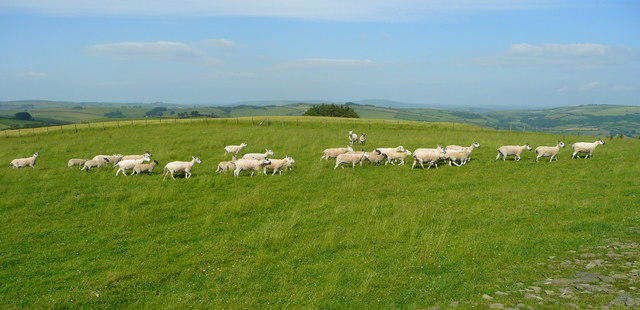 Photo could not load
SO3075 : Sheep pasture
Jonathan Billinger
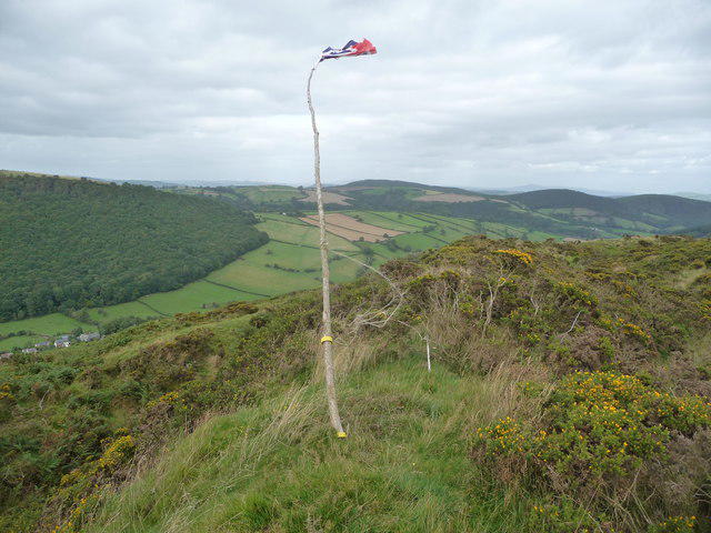 Photo could not load
SO3175 : Part of the ramparts of Caer Caradoc above Chapel Lawn
Jeremy Bolwell
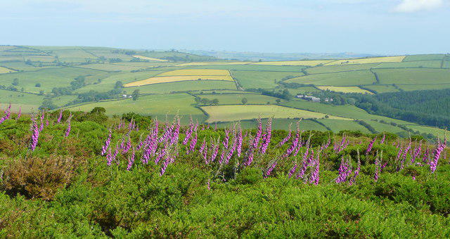 Photo could not load
SO3175 : Top of Caer Caradoc, looking north
Jonathan Billinger
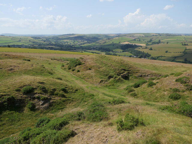 Photo could not load
SO3075 : West gate, Caer Caradoc
Richard Webb
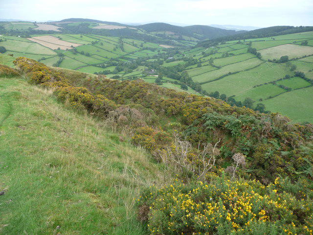 Photo could not load
SO3175 : View from Caer Caradoc down the Redlake Valley
Jeremy Bolwell
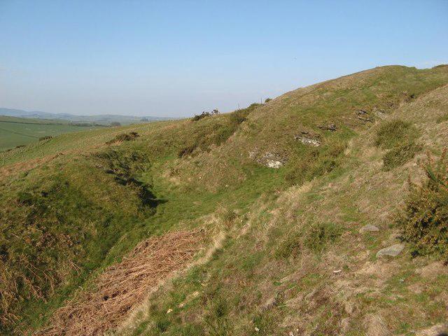 Photo could not load
SO3075 : Branching ramparts
Jonathan Wilkins
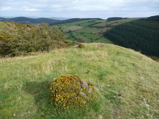 Photo could not load
SO3075 : View eastwards from Caer Caradoc
Jeremy Bolwell
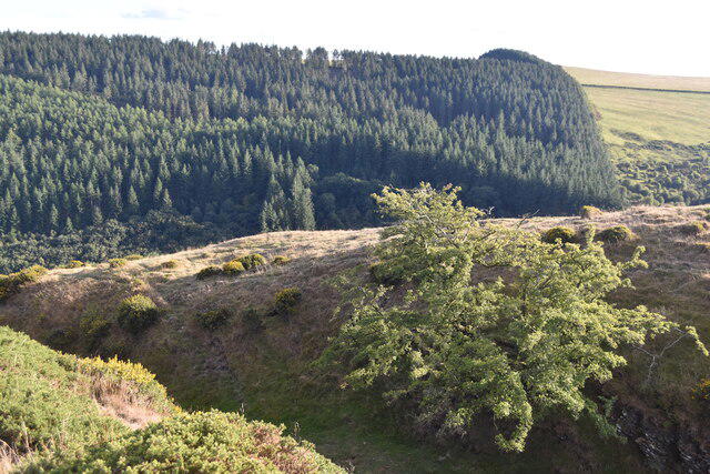 Photo could not load
SO3075 : Ramparts on Caer Caradoc with woods on Stow Hill
David Martin
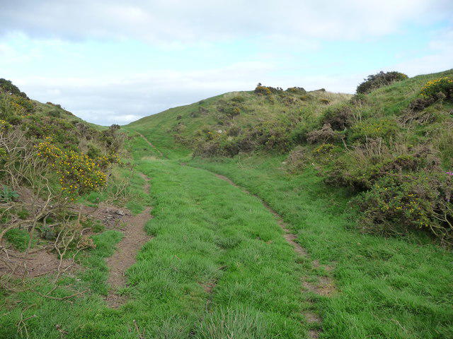 Photo could not load
SO3075 : The western entrance to Caer Caradoc hillfort
Jeremy Bolwell
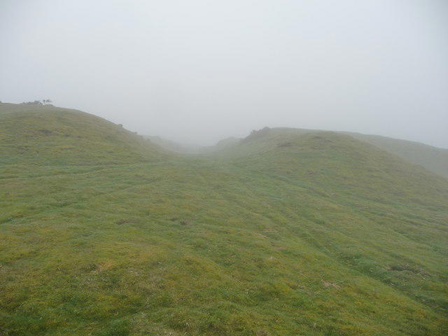
SO3075 : The western entrance at Caer Caradoc hillfort
Jeremy Bolwell
Hill facts and local notes
Classifications
Elevation
403m
1,321 ft
Prominence
56m
Coordinates
52.3754, -3.0164
SO309757
OS Map
137 148
Explorer: 201N
At the Summit
At the summit, you'll find a large rocky outcrop and a stone cairn, perfect for a selfie to prove you made it to the top!
Terrain & Geology
Primarily composed of sandstone, Caer Caradoc features stunning geological formations that tell the tale of millions of years of sedimentation and erosion, all wrapped in the rolling green hills typical of the area.
Views & Scenery
Stunning views of the surrounding Shropshire Hills, including the Long Mynd and the distant Welsh mountains on a clear day.
History & Heritage
Name Origin
The name 'Caer Caradoc' translates to 'Fort of Caradoc', possibly referring to a notable local figure or a historical fortification in the area.
Historical Significance
This mountain has been a popular hiking spot for centuries and holds a significant place in the heart of the local community.
Getting There & Facilities
Parking
There is a small car park at the base of the hill near the village of Little Stretton, located at SO473988.
Public Transport
Regular bus services run from Shrewsbury to Church Stretton, with further connections to Little Stretton.
Nearby Facilities
In Church Stretton, you'll find cafes, shops, and public toilets. However, facilities are limited directly at the base of Caer Caradoc.
Safety Information
Known Hazards
- Muddy paths in wet weather, potential for loose rocks near the summit, and the occasional sheep crossing!
General Safety Tips
- Check weather conditions before setting out
- Carry appropriate clothing and equipment
- Let someone know your planned route
- Take a map, compass, and GPS device
- Carry emergency supplies: food, water, first aid kit, torch
Hills
Some common questions about the hills answered
Are there group walks up Caer Caradoc?
Many walkers use Walkmates to join or organise walks with others. You can check for group walks around Caer Caradoc through the maps
Are there other walkers around Caer Caradoc?
Activity varies by location and time, but Walkmates lets you see whether others have shared walks or shown interest in this area. Find other people through the walking friends search walking friends for Caer Caradoc search or of course create your own walk for Caer Caradoc
Can I organise a walk to Caer Caradoc?
Yes. If there aren’t any walks listed already, you can create a walk and make it available for others to join.
If you're signed up to Walkmates, you can create a walk to Caer Caradoc.
How do I find a walk up this hill?
There are often multiple ways to walk this hill, depending on experience and route preference. Walkmates helps you explore walks and routes that others have shared.
Can I suggest a new route up Caer Caradoc?
Yes. You can suggest or create routes to share with others. Walkmates focuses on the social side of walking, so routes are used to help people organise walks and explore areas together, rather than as detailed navigation tools or route libraries.
Other uses really appreciate knowledgeable walkers sharing their routes. Share your favourite route to Caer Caradoc here
The is an error or something incorrect about this hill. How do I let you know?
We always strive to keep the information on Walkmates as accurate as possible. If you find an error, please let us know through the contact form and we'll aim to correct it as quickly as possible
Community Discussion
Comments
Location
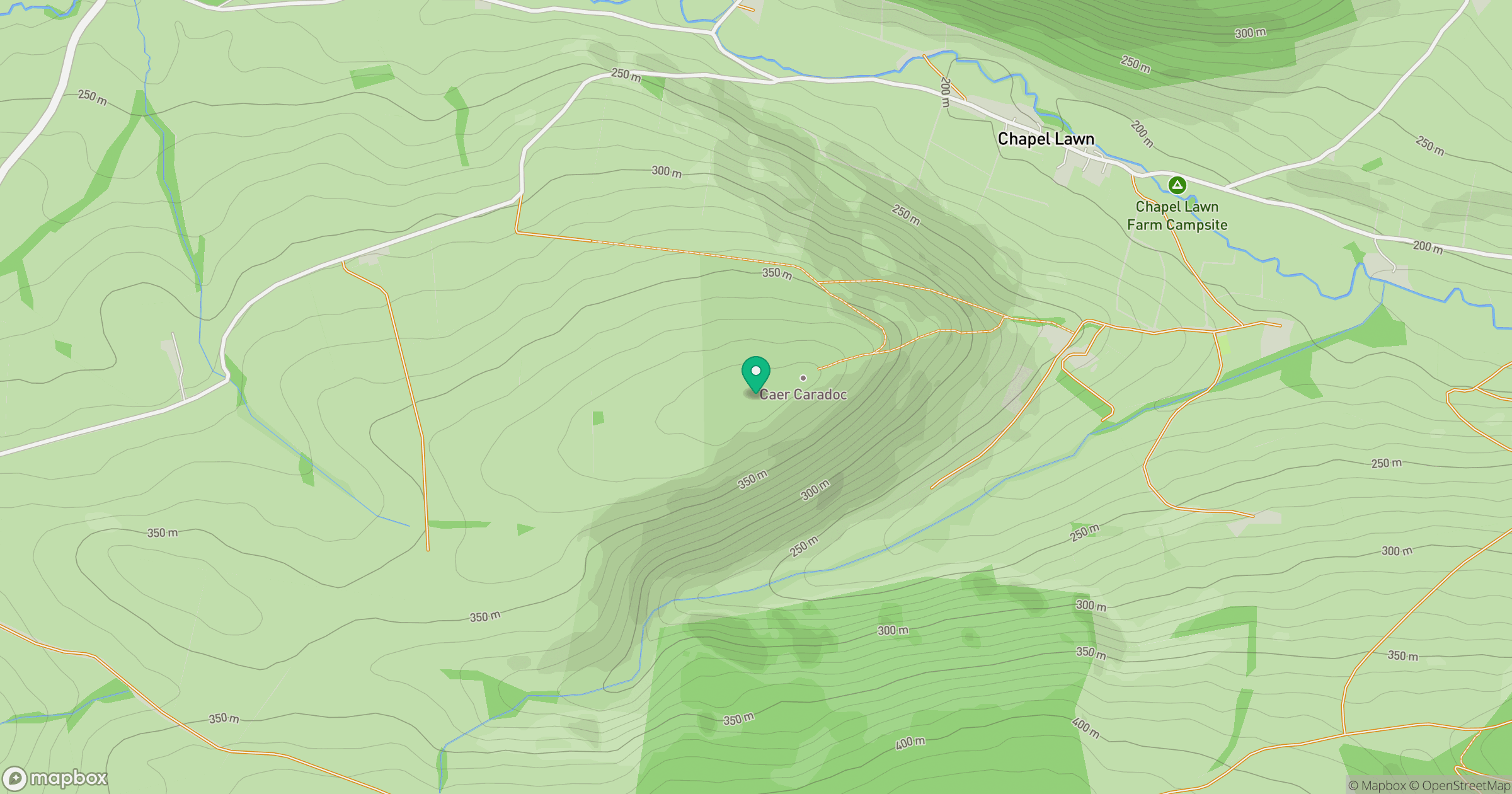
Grid reference: SO309757
View on OpenStreetMapOpens a map in a new tab, centred on the hill.
Nearby Hills
Stiperstones
537m
Long Mynd - Pole Bank
517m
Carneddau
445m
Titterstone Clee Hill
533m

The Wrekin
407m
No comments yet. Be the first.