

Burrow
Good walks are even better shared.
SO3883 : Burrow hillfort - rampart 2 and ditch
Richard Law Photo source
Explore routes near Burrow
Walks starting near this hill. Open a route to check its map, distance and full itinerary.
Carding Mill Valley and The Long Mynd walk
View route
Lightspout Waterfall via Carding Mill Valley Circular
View route
Mortimer Forest Lower Evens Circuit
View route
Ludlow Town Walls and Castle Walk
View route
Route planning notes
These notes describe possible approaches. Check a route's map and access information when planning your walk.
Chedworth Roman Villa Route
A scenic route starting from the historic Chedworth village leading up to the summit of Burrow.
Make a day of it, together
Find someone to share the walk with, or organise a day out along a route you like.
Photo Gallery
View all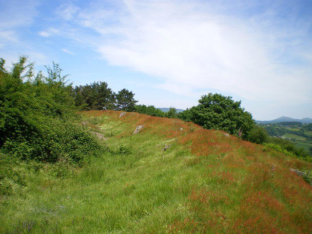 Photo could not load
SO3883 : Burrow hillfort - rampart 2 and ditch
Richard Law
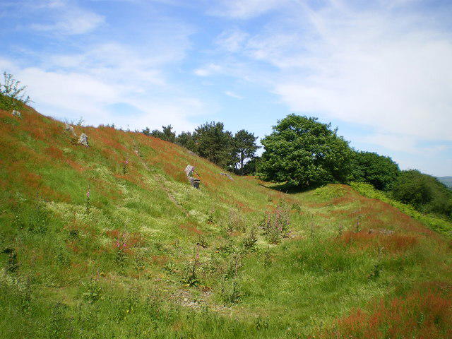 Photo could not load
SO3883 : Ramparts 1 & 2 of Burrow hillfort
Richard Law
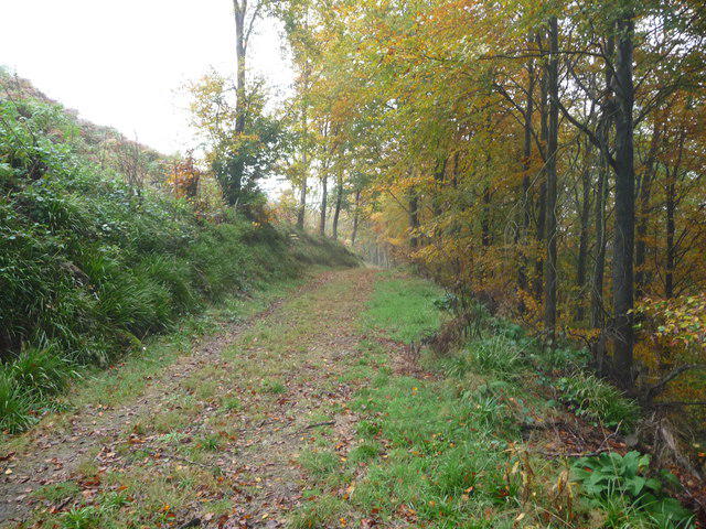 Photo could not load
SO3783 : Track below Burrow hillfort summit
Jeremy Bolwell
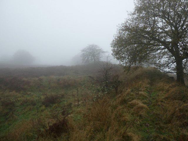 Photo could not load
SO3883 : Burrow hillfort in November
Jeremy Bolwell
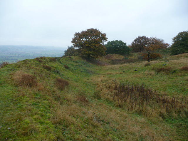 Photo could not load
SO3883 : On Burrow hillfort
Jeremy Bolwell
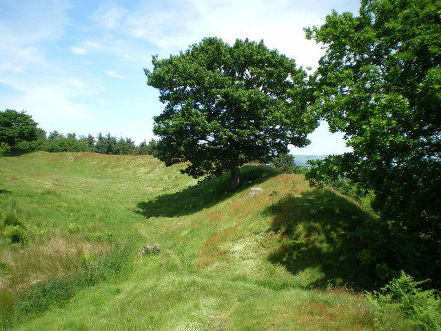 Photo could not load
SO3883 : Burrow hillfort - rampart 3
Richard Law
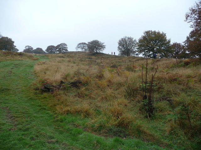 Photo could not load
SO3883 : Scene in Burrow hillfort near Hopesay, Shropshire
Jeremy Bolwell
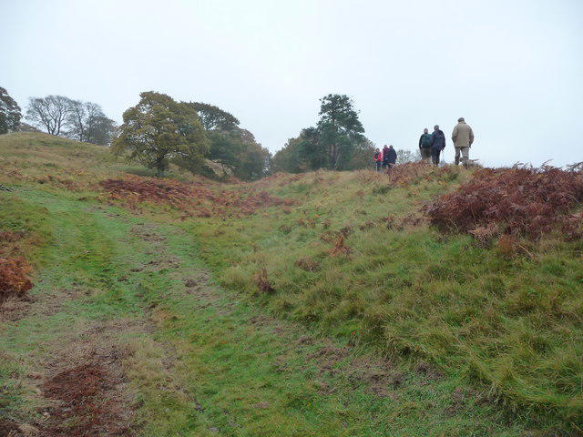 Photo could not load
SO3882 : On the inner rampart of Burrow hillfort
Jeremy Bolwell
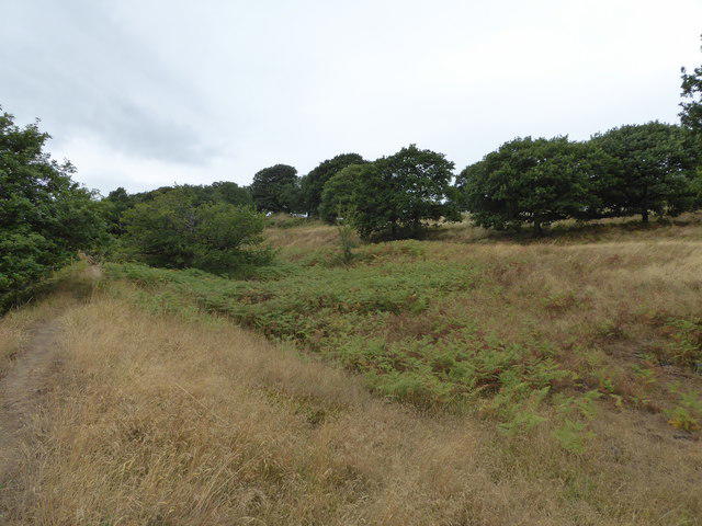 Photo could not load
SO3883 : The ramparts on Burrow hillfort
Jeremy Bolwell
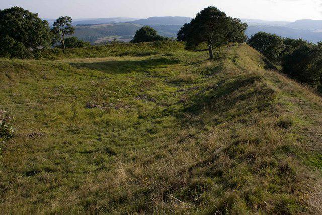
SO3883 : Burrow Hill Fort
Mike White
Hill facts and local notes
Classifications
Elevation
358m
1,175 ft
Prominence
188m
Coordinates
52.4422, -2.9119
SO381830
OS Map
137
Explorer: 216 217
At the Summit
The summit features a small cairn made of local stones and offers a fantastic panoramic view of the surrounding countryside.
Terrain & Geology
Burrow is primarily composed of limestone, typical of this region, offering a rich biodiversity and fascinating geological formations. The area also features some lovely dry stone walls and patches of ancient woodland.
Views & Scenery
On a clear day, vistas stretching over the Cotswolds with iconic rolling hills and quaint villages like Chedworth and Northleach come into view.
History & Heritage
Name Origin
The name 'Burrow' likely derives from the Old English word 'burh', meaning 'fortified place'.
Historical Significance
The area around Burrow is steeped in history, with Roman remains and beautiful countryside that tell tales of days gone by.
Getting There & Facilities
Parking
Small car park located at Chedworth Roman Villa (postcode GL54 4NQ) with a few spaces available.
Public Transport
Catch the bus from Cirencester to Chedworth, followed by a short walk to the starting point.
Nearby Facilities
There are public toilets at the Chedworth Roman Villa site, and several charming pubs and cafes are available in Chedworth.
Safety Information
Known Hazards
- Beware of sudden changes in weather, as fog can roll in unexpectedly, obscuring paths.
General Safety Tips
- Check weather conditions before setting out
- Carry appropriate clothing and equipment
- Let someone know your planned route
- Take a map, compass, and GPS device
- Carry emergency supplies: food, water, first aid kit, torch
Hills
Some common questions about the hills answered
Are there group walks up Burrow?
Many walkers use Walkmates to join or organise walks with others. You can check for group walks around Burrow through the maps
Are there other walkers around Burrow?
Activity varies by location and time, but Walkmates lets you see whether others have shared walks or shown interest in this area. Find other people through the walking friends search walking friends for Burrow search or of course create your own walk for Burrow
Can I organise a walk to Burrow?
Yes. If there aren’t any walks listed already, you can create a walk and make it available for others to join.
If you're signed up to Walkmates, you can create a walk to Burrow.
How do I find a walk up this hill?
There are often multiple ways to walk this hill, depending on experience and route preference. Walkmates helps you explore walks and routes that others have shared.
Can I suggest a new route up Burrow?
Yes. You can suggest or create routes to share with others. Walkmates focuses on the social side of walking, so routes are used to help people organise walks and explore areas together, rather than as detailed navigation tools or route libraries.
Other uses really appreciate knowledgeable walkers sharing their routes. Share your favourite route to Burrow here
The is an error or something incorrect about this hill. How do I let you know?
We always strive to keep the information on Walkmates as accurate as possible. If you find an error, please let us know through the contact form and we'll aim to correct it as quickly as possible
Community Discussion
Comments
Location
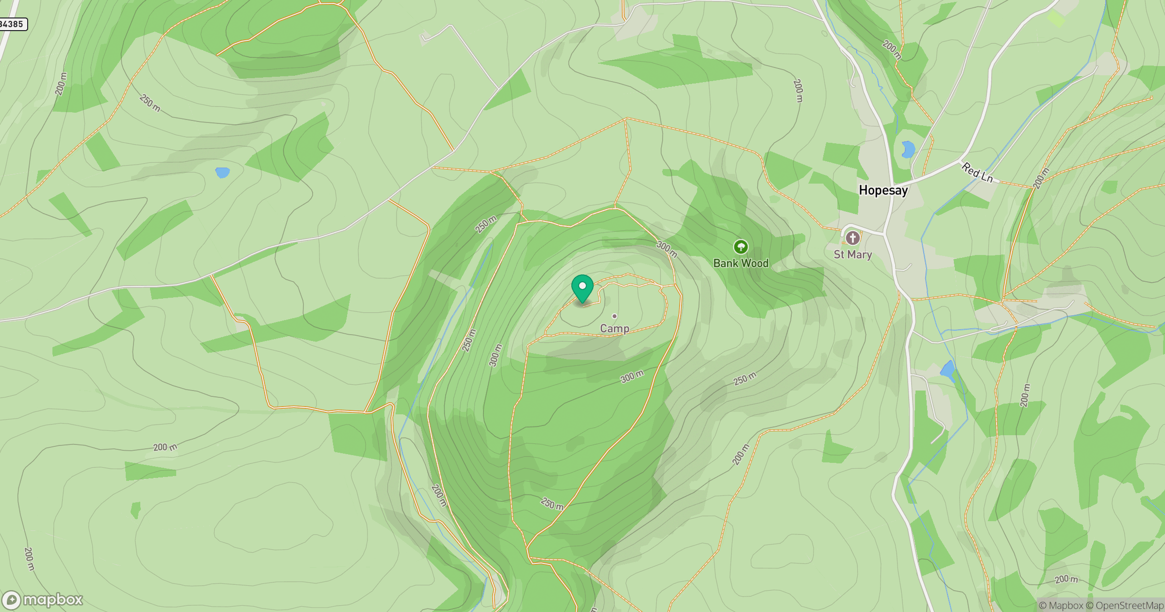
Grid reference: SO381830
View on OpenStreetMapOpens a map in a new tab, centred on the hill.
Nearby Hills
Long Mynd - Pole Bank
517m
Stiperstones
537m
Titterstone Clee Hill
533m

The Wrekin
407m
Carneddau
445m
No comments yet. Be the first.