

Braigh Coire na Conlaich
Good walks are even better shared.
Overview
Braigh Coire na Conlaich
Introduction
Braigh Coire na Conlaich stands proudly at 1010 meters, proclaiming itself as a worthy Munro amidst the stunning backdrop of the Scottish Highlands. Like a stalwart guardian, it offers picturesque views and a challenge that beckons hikers from far and wide.
Geology
Formed from ancient schist and gneiss, Braigh Coire na Conlaich showcases the geological wonders of the Highlands. These metamorphic rocks have been shaped by the relentless forces of nature, making for an awe-inspiring climb. The rugged landscape is a testament to the earth’s turbulent past.
Routes
The most popular approaches include:
- Glencoe Approach: An enjoyable 10.5 km route that winds through scenic landscapes, perfect for soaking up the beauty of the Highlands. Set aside about 4.5 hours to tackle it.
- Coire na Conlaich Route: This challenging path climbs steeply through the coire, rewarding you with spectacular views from the top. Expect to devote around 3 hours for this 7 km trek.
Summit Features
Once at the summit, you'll be greeted by a rocky outcrop crowned with a charming cairn, inviting weary hikers to stop, snatch a few selfies, and marvel at the panoramic views.
Terrain
The terrain varies significantly, from grassy hills to rocky paths strewn with challenging boulders. Prepare for an exhilarating scramble near the summit! Remember, hiking shoes are your best friends here.
Views
The summit presents a glorious tableau of the Highlands, with the iconic Buachaille Etive Mor stealing the show. The best views are generally in late spring to early autumn, with early risers treated to the magic of dawn breaking over the hills.
Hazards
While this hike is rewarding, it is not without its hazards. Loose rocks, steep inclines, and sudden weather changes can test even the most seasoned hiker. Proper preparation is key!
Nearby Summits
A host of other peaks looms nearby:
- Buachaille Etive Mor: Standing at 1021 meters, it’s a true classic.
- Stob Dearg: Slightly taller at 1024 meters, it’s well worth a visit.
Access
Parking is found at the end of the road in Glencoe, though it can fill swiftly during busy periods. Public transport is your friend, with buses connecting from Fort William and Inverness. The charming village of Ballachulish is nearby, providing amenities and accommodations.
Facilities
The vicinity offers several cafes and shops for that post-climb gratification. The Glencoe visitor centre also has public toilets, making it a convenient stop.
History
The name 'Braigh Coire na Conlaich' reflects its historical significance and charm, translating to 'Hill of the Corrie of the Warrior'. The mountain is intertwined with the rich tapestry of Scottish heritage and clan histories.
Conclusion
In conclusion, Braigh Coire na Conlaich isn’t just another notch on your hiking belt; it’s a thoroughfare to nature’s grandeur and a dash of Scottish history. Pack your bags, lace your boots, and set forth on an adventure that promises to be as splendid as the views it offers!
Explore routes near Braigh Coire na Conlaich
Public walks starting within 80 km of this hill. Nearby does not mean a route reaches the summit; check its map and access before setting out.
Glen Banvie Trail with the Bruar viewpoint
View route
Aberfeldy: Glassie Woodland and River Tay Circular
View route
Rothiemurchus: Beaver Trail and Lochan Mor
View route
Aviemore: Loch an Eilein and the Croft Track from Rothiemurchus
View route
Route planning notes
These notes describe possible approaches, not verified navigable routes or permission to cross land. Check current paths, local access rules and conditions before setting out.
Glencoe Approach
A popular route starting from the Glencoe valley, meandering through scenic vistas before ascending towards the summit.
Coire na Conlaich Route
This route takes you up through Coire na Conlaich, offering a steep but rewarding hike to the summit through rich flora.
Make a day of it, together
Find someone to share the walk with, or organise a day out along a route you like.
Photo Gallery
View all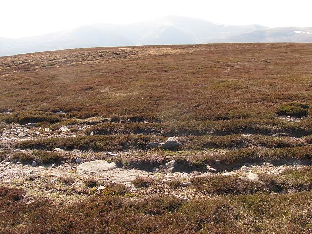 Photo could not load
NN9477 : Track, Bràigh Coire na Conlaich
Richard Webb
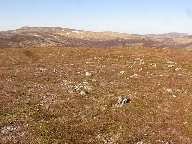 Photo could not load
NN9377 : Bràigh Coire na Conlaich
Richard Webb
Hill facts and local notes
Classifications
Elevation
835m
2,739 ft
Prominence
110m
Coordinates
56.8798, -3.7420
NN939778
OS Map
43
Explorer: OL51E 394E
At the Summit
The summit features a rocky outcrop adorned with a small cairn, which is a traditional stack of stones built by hikers, providing a perfect spot for a photo op.
Terrain & Geology
The mountain is primarily composed of metamorphic schist and gneiss, typical of the region, giving rise to steep and rugged terrain. The rock formations are fascinating for geology enthusiasts, showcasing the immense forces of nature at work over millennia.
Views & Scenery
From the summit, you can enjoy sweeping views of the surrounding peaks including Buachaille Etive Mor and the vast expanse of Rannoch Moor.
History & Heritage
Name Origin
The name Braigh Coire na Conlaich translates to 'Hill of the Corrie of the Warrior' – befitting a peak that looks down on its sprawling valley.
Historical Significance
The mountain and its surroundings played a significant role in the history of the Scottish Highlands, linked to various clans and notable battles.
Getting There & Facilities
Check current local access restrictions, parking rules and transport timetables before travelling. These notes do not confirm public access to the summit.
Parking
Car park at the end of the road in Glencoe, offering ample space but can fill up quickly during peak seasons.
Public Transport
Buses run regularly from nearby towns such as Fort William and Inverness, with the nearest bus stop located in Glencoe village.
Nearby Facilities
The area around Glencoe offers several facilities, including cafes and shops. Public toilets can be found at the visitor centre in Glencoe.
Safety Information
Known Hazards
- Loose rocks and steep inclines can pose a risk, particularly in wet conditions. It is advisable to assess weather before setting off and follow established paths.
General Safety Tips
- Check weather conditions before setting out
- Carry appropriate clothing and equipment
- Let someone know your planned route
- Take a map, compass, and GPS device
- Carry emergency supplies: food, water, first aid kit, torch
Hills
Some common questions about the hills answered
Are there group walks up Braigh Coire na Conlaich?
Many walkers use Walkmates to join or organise walks with others. You can check for group walks around Braigh Coire na Conlaich through the maps
Are there other walkers around Braigh Coire na Conlaich?
Activity varies by location and time, but Walkmates lets you see whether others have shared walks or shown interest in this area. Find other people through the walking friends search walking friends for Braigh Coire na Conlaich search or of course create your own walk for Braigh Coire na Conlaich
Can I organise a walk to Braigh Coire na Conlaich?
Yes. If there aren’t any walks listed already, you can create a walk and make it available for others to join.
If you're signed up to Walkmates, you can create a walk to Braigh Coire na Conlaich.
How do I find a walk up this hill?
There are often multiple ways to walk this hill, depending on experience and route preference. Walkmates helps you explore walks and routes that others have shared.
Can I suggest a new route up Braigh Coire na Conlaich?
Yes. You can suggest or create routes to share with others. Walkmates focuses on the social side of walking, so routes are used to help people organise walks and explore areas together, rather than as detailed navigation tools or route libraries.
Other uses really appreciate knowledgeable walkers sharing their routes. Share your favourite route to Braigh Coire na Conlaich here
The is an error or something incorrect about this hill. How do I let you know?
We always strive to keep the information on Walkmates as accurate as possible. If you find an error, please let us know through the contact form and we'll aim to correct it as quickly as possible
Community Discussion
Comments
Location
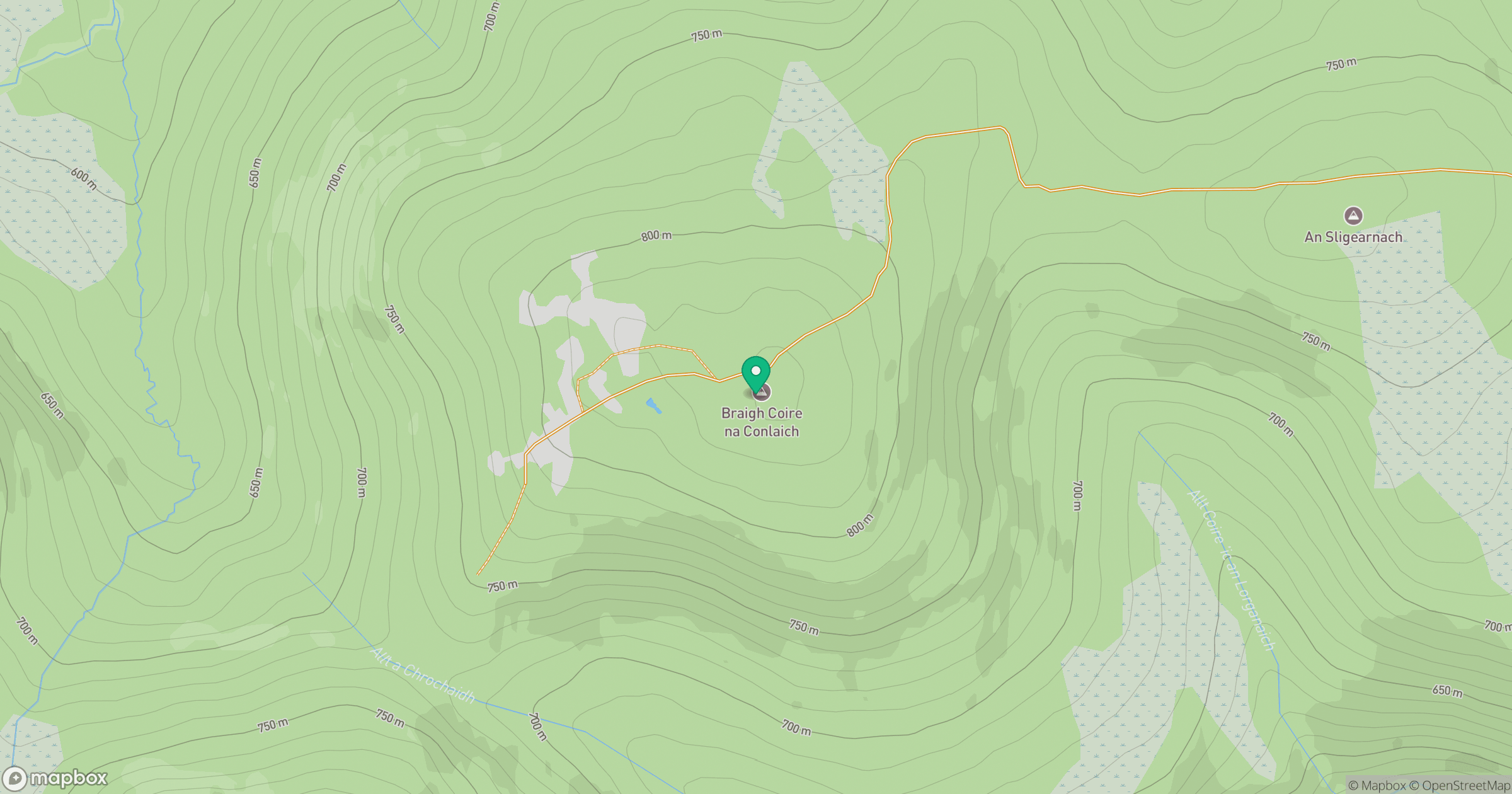
Grid reference: NN939778
View on OpenStreetMapOpens a map in a new tab, centred on the hill.
Hills within 30 km
Straight-line distance, not a walking route or confirmation of access.
Beinn a' Ghlo - Braigh Coire Chruinn-bhalgain
1,070m
Beinn a' Ghlo - Carn nan Gabhar
1,122m
Beinn a' Ghlo - Carn Liath
976m
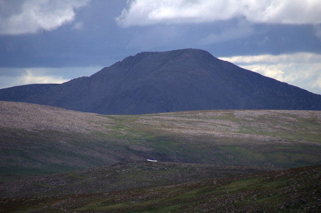
Cairn Toul
1,292m
Braeriach
1,296m
No comments yet. Be the first.