
Black Crag
Good walks are even better shared.
Overview
Black Crag
Located in the stunning Lake District, Black Crag stands proudly at 436 meters and is a celebrated Hewitt. Known for its rocky outcrops and volcanic geology, this mountain is an excellent choice for hikers seeking a moderately challenging adventure with rewarding views.
Geology
Black Crag's terrain bears witness to its volcanic roots, with layers of basalt rock creating spectacular crags and cliffs. As you hike, keep an eye on the textures and formations that hint at the area's ancient eruptive past—it's like nature's own version of a drama series, with layers unfolding for your viewing pleasure.
Routes
The most popular route starts at Mardale Head and spans around 8.2 km. This pathway meanders alongside the picturesque Haweswater Reservoir before tackling the craggy ascents of Black Crag itself. Expect a completion time of about 3.5 hours, giving you plenty of opportunity to catch your breath and maybe even chat with fellow walkers.
Summit Features
At the top, you'll find a stone cairn—you're not in the middle of nowhere, you're at the top of one of Lake District's gems! The views will make any arduous climb worthwhile, especially if you’ve brought along a packed lunch to savour while taking in the scenery.
Terrain Type
Prepare your boots for a rocky adventure! The terrain can be a bit haphazard with rocky sections mixed in with some grassy slopes—one might say it’s a little like walking across a giant's uneven kitchen floor.
Views
On a clear day, the summit of Black Crag presents breathtaking views of Haweswater and the surrounding fells, including High Street and Kidsty Pike. The best seasons for these views are spring and early autumn, when the weather plays nice.
Hazards
While Black Crag is largely manageable, loose rocks can be a tripping hazard, especially if it’s rained recently. To avoid an unintended tumble, it’s best to tread carefully near edges and crags.
Access
The Mardale Head car park is your most direct route to the mountain, but be warned: it's popular! Arrive early to nab a space. Public transport options are quite limited, so having a car will make your journey smoother. Penrith is the nearest town, which offers all necessary amenities before you head out.
Facilities
If you're in need of post-hike refreshment, head to the nearby towns of Shap or Penrith for cafes and shops. After all that effort, you deserve a cup of tea!
History
The name 'Black Crag' reflects the mountain's distinctive dark rock. Historically, Black Crag is significant not only for hiking but also for geology enthusiasts who appreciate its volcanic history.
In summary, Black Crag is an essential stop for adventurous souls looking to explore the enchanting Lake District. With its fascinating geology, stunning views, and accessible routes, it's a mountain that should definitely be on your bucket list.
Happy hiking!
Explore routes near Black Crag
Walks starting near this hill. Open a route to check its map, distance and full itinerary.
Scafell Pike via Brown Tongue and Hollow Stones
View route
Scafell Pike from Seathwaite via the Corridor Route
View route
Steeple, Scoat Fell and Haycock from Ennerdale
View route
Bow Fell from Langdale
View route
Route planning notes
These notes describe possible approaches. Check a route's map and access information when planning your walk.
Mardale Head to Black Crag
A scenic route that wends its way through lush valleys and along the shores of Haweswater before ascending the rocky terrain of Black Crag.
Make a day of it, together
Find someone to share the walk with, or organise a day out along a route you like.
Hill facts and local notes
Classifications
Elevation
801m
2,628 ft
Prominence
7m
Coordinates
54.4798, -3.2892
NY165101
OS Map
89
Explorer: OL4S OL6N
At the Summit
The summit is marked by a weathered stone cairn and offers an excellent vantage point for panoramic views of the Lake District.
Terrain & Geology
Black Crag is predominantly formed of volcanic rock, specifically several layers of basalt that can be observed in the craggy outcrops. This offers a fascinating insight into the geological history of the region, showcasing volcanic activity from millions of years ago.
Views & Scenery
From the summit, one can see Haweswater Reservoir, and a sweeping panorama of surrounding peaks including High Street and Kidsty Pike.
History & Heritage
Name Origin
The name 'Black Crag' likely derives from the dark volcanic rock that characterises the hill.
Historical Significance
Black Crag offers not just outdoor adventure but also a historical connection to early geological research in the Lake District.
Getting There & Facilities
Parking
Mardale Head car park, located at the end of a narrow road leading from the A592. It has limited spaces, so arrive early, particularly in peak season.
Public Transport
Services are limited; the nearest bus service runs from Penrith to Haweswater, but a car is highly recommended for access.
Nearby Facilities
The nearest facilities can be found in Shap or Penrith, including cafes, shops, and public toilets.
Safety Information
Known Hazards
- Loose rocks on the ascent, especially after rain. Be cautious near the edges of crags.
General Safety Tips
- Check weather conditions before setting out
- Carry appropriate clothing and equipment
- Let someone know your planned route
- Take a map, compass, and GPS device
- Carry emergency supplies: food, water, first aid kit, torch
Hills
Some common questions about the hills answered
Are there group walks up Black Crag?
Many walkers use Walkmates to join or organise walks with others. You can check for group walks around Black Crag through the maps
Are there other walkers around Black Crag?
Activity varies by location and time, but Walkmates lets you see whether others have shared walks or shown interest in this area. Find other people through the walking friends search walking friends for Black Crag search or of course create your own walk for Black Crag
Can I organise a walk to Black Crag?
Yes. If there aren’t any walks listed already, you can create a walk and make it available for others to join.
If you're signed up to Walkmates, you can create a walk to Black Crag.
How do I find a walk up this hill?
There are often multiple ways to walk this hill, depending on experience and route preference. Walkmates helps you explore walks and routes that others have shared.
Can I suggest a new route up Black Crag?
Yes. You can suggest or create routes to share with others. Walkmates focuses on the social side of walking, so routes are used to help people organise walks and explore areas together, rather than as detailed navigation tools or route libraries.
Other uses really appreciate knowledgeable walkers sharing their routes. Share your favourite route to Black Crag here
The is an error or something incorrect about this hill. How do I let you know?
We always strive to keep the information on Walkmates as accurate as possible. If you find an error, please let us know through the contact form and we'll aim to correct it as quickly as possible
Community Discussion
Comments
Location
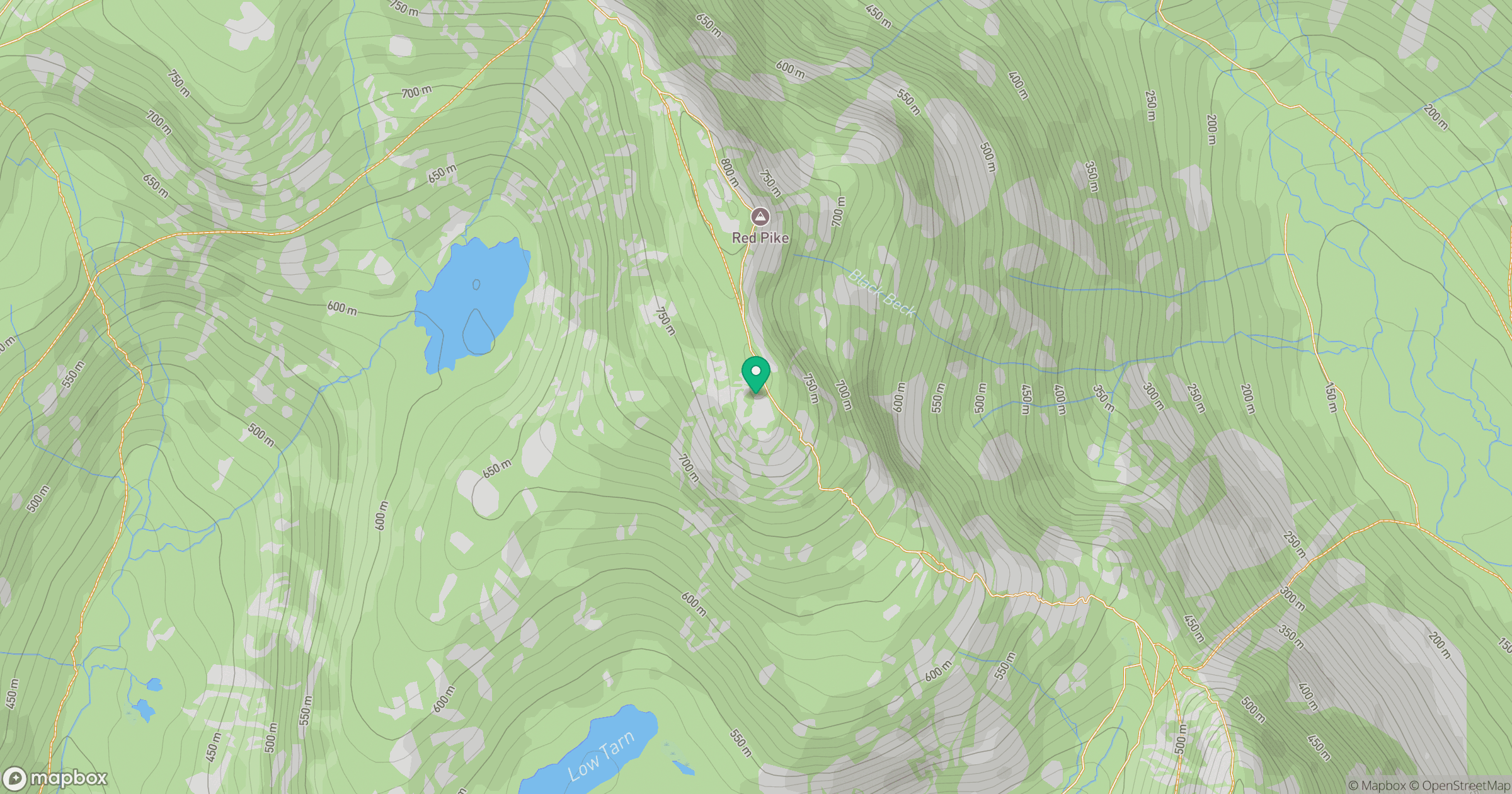
Grid reference: NY165101
View on OpenStreetMapOpens a map in a new tab, centred on the hill.
Nearby Hills
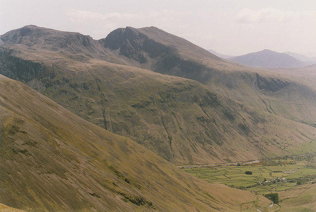
Pillar
892m
High Stile [Grey Crag - High Stile]
806m

Great Gable
899m
Fleetwith Pike
649m
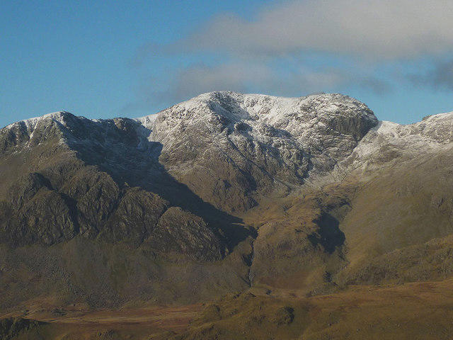
Scafell
964m
No comments yet. Be the first.