

Billinge Hill (N Top)
Good walks are even better shared.
SD5201 : Communication Masts close to Billinge Hill
Gary Rogers Photo source
Overview
Billinge Hill (N Top)
Billinge Hill (N Top) stands majestically at an elevation of 191 meters, making it a notable yet approachable peak in the Greater Manchester region. Often overshadowed by its larger counterparts, Billinge Hill provides a delightful escape for hikers and nature lovers alike.
Geology
This intriguing hill is primarily composed of Millstone Grit, dating back to the Carboniferous period. Those interested in geology will appreciate the resilient gritstone outcrops that tell tales of ancient landscapes. Keep your eyes peeled for distinctive rock formations along your hike!
Routes
One of the most popular routes is the Billinge Hill Circular Walk. Spanning approximately 4.5 kilometers, this moderately challenging route begins in the charming village of Billinge. Along the way, you’ll be treated to scenic views and the chance to immerse yourself in the local wildlife. Expect to spend around 1.5 hours enjoying this delightful walk.
Summit Features
At the summit, adventurers are greeted by a prominent trig point and a grand stone cairn. It’s a picture-perfect spot that’s bound to make your social media followers a tad jealous!
Terrain Type
The terrain varies beautifully, primarily comprising grassy areas with some rocky sections that invite exploration. However, be prepared for a few muddy patches, particularly after a decent rain; it's part of the wild charm!
Views
From the summit, the views are nothing short of spectacular. On clear days, you can see the rolling Pennines in the distance along with the magnificent Welsh mountains. The best seasons for this awe-inspiring sight are spring and autumn, when the colours are rich and the skies are clear—perfect for a picnic!
Hazards
Watch out for slippery spots and be mindful of the changing weather. No one enjoys getting caught in a downpour while wearing unsuitable footwear!
Nearby Summits
Don't forget to pay a visit to the nearby Billinge Hill (S Top), a slightly smaller companion at 178 meters. It’s all in good fun when bragging about your hiking conquests!
Access
Getting to Billinge Hill is easy-peasy. There’s a small car park off the A570 where hikers can safely leave their vehicles. Public transport options abound, with local buses running to the quaint village of Billinge from both St Helens and Wigan. It’s as simple as hop on, hop off!
Facilities
After your hike, reward yourself with a visit to a nearby café. Here you can refuel with delicious refreshments and even find restrooms—because who wants to improvise while out in nature?
History
The name 'Billinge' has roots in the Anglo-Saxon term 'Bilinga', meaning 'the place of the Bilinga people'. Billinge Hill has been a significant landmark for centuries, steeped in folklore and history, making it a must-visit for those who love to wander where the stories linger.
Overall, Billinge Hill (N Top) is more than just a hill; it's a treasure trove of outdoor adventure, geological wonders, and charming landscape. Weather permitting, it stands as a perfect spot to lace up your boots and get exploring!
Explore routes near Billinge Hill (N Top)
Walks starting near this hill. Open a route to check its map, distance and full itinerary.
Liverpool Waterfront Walk with Men Walking & Talking
View route
Brockholes Reserve Tour
View route
Brockholes Wildflower Year guided walk
View route
Brockholes Reserve Tour
View route
Route planning notes
These notes describe possible approaches. Check a route's map and access information when planning your walk.
Billinge Hill Circular Walk
A scenic circular route starting from the village of Billinge, offering a well-marked path with stunning views.
Make a day of it, together
Find someone to share the walk with, or organise a day out along a route you like.
Photo Gallery
View all Photo could not load
SD5201 : Communication Masts close to Billinge Hill
Gary Rogers
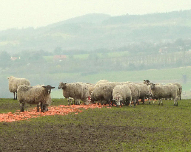 Photo could not load
SD5202 : Sheep eating carrots at Brownlow, Billinge
Gary Rogers
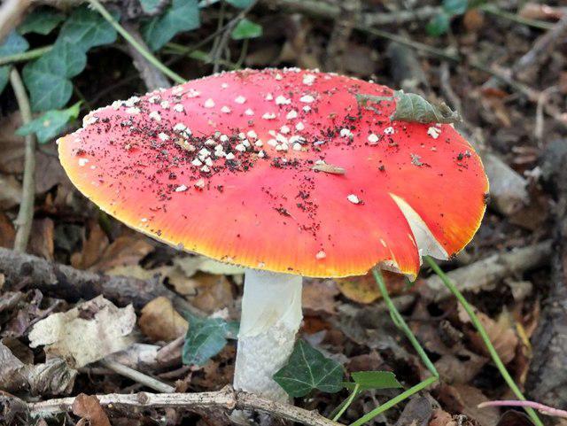 Photo could not load
SD5201 : Amanita muscaria, commonly known as the fly agaric or fly amanita
Gary Rogers
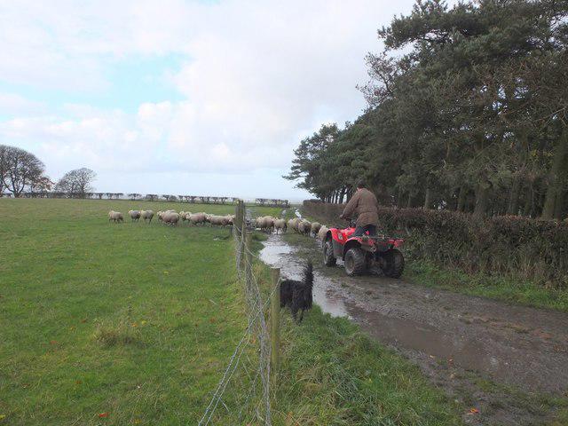 Photo could not load
SD5202 : Shepherding at Brownlow, Billinge
Gary Rogers
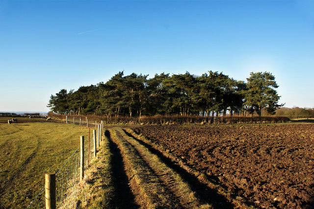 Photo could not load
SD5202 : A coppice above Brownlow Farm
Ian Greig
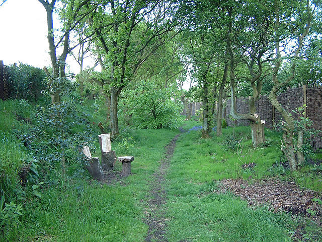 Photo could not load
SD5202 : Footpath at Brownlow
Gary Rogers
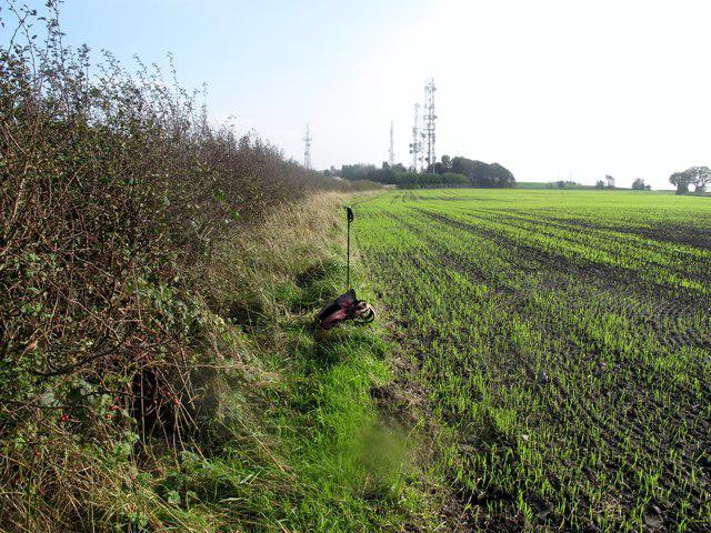 Photo could not load
SD5202 : Billinge Hill (N Top)
Rude Health
Hill facts and local notes
Classifications
Elevation
169m
554 ft
Prominence
3m
Coordinates
53.5130, -2.7236
SD521020
OS Map
108
Explorer: 285E
At the Summit
The summit features a prominent trig point and a large stone cairn, both excellent spots for a photo op. On a clear day, expect views that will make your heart sing.
Terrain & Geology
Billinge Hill is primarily composed of Millstone Grit, a durable sandstone that dates back to the Carboniferous period. The gritstone outcrops offer a glimpse into the area's geological history.
Views & Scenery
From the summit, you can catch sight of the distant Pennines and, on particularly clear days, the Welsh mountains beyond.
History & Heritage
Name Origin
The name 'Billinge' is derived from the Anglo-Saxon 'Bilinga', meaning 'the place of the Bilinga people'.
Historical Significance
Billinge Hill has been a local landmark for centuries, steeped in history and folklore, with stories of ancient rituals and gatherings.
Getting There & Facilities
Parking
There is a small car park located on the A570 near the start of the walking trails, offering easy access to the hill.
Public Transport
Local buses operate from St Helens and Wigan, with a stop near Billinge village.
Nearby Facilities
A nearby cafe provides essential refreshments and restrooms, making it perfect for post-hike treats.
Safety Information
Known Hazards
- Watch out for muddy patches, especially after rain, as well as sudden weather changes.
General Safety Tips
- Check weather conditions before setting out
- Carry appropriate clothing and equipment
- Let someone know your planned route
- Take a map, compass, and GPS device
- Carry emergency supplies: food, water, first aid kit, torch
Hills
Some common questions about the hills answered
Are there group walks up Billinge Hill (N Top)?
Many walkers use Walkmates to join or organise walks with others. You can check for group walks around Billinge Hill (N Top) through the maps
Are there other walkers around Billinge Hill (N Top)?
Activity varies by location and time, but Walkmates lets you see whether others have shared walks or shown interest in this area. Find other people through the walking friends search walking friends for Billinge Hill (N Top) search or of course create your own walk for Billinge Hill (N Top)
Can I organise a walk to Billinge Hill (N Top)?
Yes. If there aren’t any walks listed already, you can create a walk and make it available for others to join.
If you're signed up to Walkmates, you can create a walk to Billinge Hill (N Top).
How do I find a walk up this hill?
There are often multiple ways to walk this hill, depending on experience and route preference. Walkmates helps you explore walks and routes that others have shared.
Can I suggest a new route up Billinge Hill (N Top)?
Yes. You can suggest or create routes to share with others. Walkmates focuses on the social side of walking, so routes are used to help people organise walks and explore areas together, rather than as detailed navigation tools or route libraries.
Other uses really appreciate knowledgeable walkers sharing their routes. Share your favourite route to Billinge Hill (N Top) here
The is an error or something incorrect about this hill. How do I let you know?
We always strive to keep the information on Walkmates as accurate as possible. If you find an error, please let us know through the contact form and we'll aim to correct it as quickly as possible
Community Discussion
Comments
Location
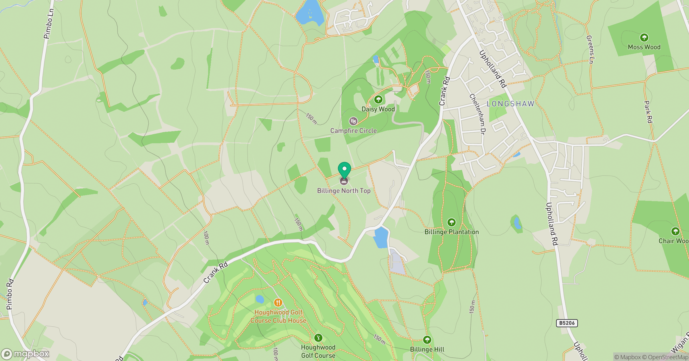
Grid reference: SD521020
View on OpenStreetMapOpens a map in a new tab, centred on the hill.



No comments yet. Be the first.