

Ben Dorrery
Good walks are even better shared.
Overview
Ben Dorrery: A Hidden Gem of the Scottish Highlands
Nestled in the stunning landscape of the Scottish Highlands, Ben Dorrery stands as a Marilyn, reaching an elevation of 735 meters. This modest yet captivating mountain offers both new and seasoned hikers a variety of routes to explore its rugged beauty.
Geology
Composed mostly of schist, Ben Dorrery's geology tells a tale of ancient forces, shaped over millennia by glacial movements. The rocky crags and smooth slopes create an intriguing terrain that hikers will enjoy navigating.
Routes
Southern Approach
The Southern Approach is a popular route that makes for a gentle ascend, allowing you to soak in the incredible views as you go. The 6.5 km distance can be comfortably completed in about 3.5 hours, making it quite accessible.
Northern Ridge
If you’re feeling adventurous, the Northern Ridge presents a more challenging option. This thrilling climb is steeper and rocks abound, making it perfect for those looking to put their climbing skills to the test. Expect to spend around 4 hours on this 5.8 km route.
Summit Features
The summit greets you with a sturdy cairn—a reassuring sight for weary legs that have conquered the ascent! It also serves as a perfect backdrop for your triumphant selfie.
Terrain
Expect a delightful mix of rocky outcrops and grassy slopes that lend themselves to a good ol' Scottish trek. Watch out for patches of heather that might have you stopping to appreciate the beauty and maybe take a photo or two (we all know you will!).
Views
The panoramic views from the top are nothing short of breathtaking. On clear days, you’ll see miles of rolling hills and the iconic peaks of the North-west Highlands, including the legendary Assynt mountains. Spring and early summer are particularly stunning, as the heather blooms in a vibrant display.
Hazards
As with any outdoor adventure, be cautious of loose rocks, especially on steeper inclines. Weather conditions can change rapidly, so it's wise to be prepared for a bit of both sun and rain.
Nearby Summits
Don't miss the chance to explore nearby climbs such as Cul Mor and Cul Beag, both of which offer their own unique views and varying levels of challenge.
Access
The starting point for your journey has a small parking area, with enough space for about 6-8 vehicles. Public transportation options are sparse, but local buses from Ullapool provide some access to nearby villages. Ullapool itself, about 25 km away, has various amenities, including cafes and shops to gear up before your adventure.
Facilities
After your hike, enjoy a hot drink or meal in one of Ullapool's cafes. Toilet facilities are also available at the visitor centre.
History
The name 'Dorrery' likely comes from the Gaelic word 'Dorairidh,' meaning 'the place of the deer,' accented by the nature that surrounds it. Over the years, Ben Dorrery has emerged as a favoured spot among outdoor enthusiasts, enriching the cultural fabric of this beloved region.
In summary, Ben Dorrery is not just another hill; it’s a marvellous mountain that beckons with its beauty and charm. So lace up your hiking boots and get ready for an unforgettable adventure!
Explore routes near Ben Dorrery
Public walks starting within 80 km of this hill. Nearby does not mean a route reaches the summit; check its map and access before setting out.
Ben Klibreck
View route
Loch Migdale from Torroy: Spinningdale pinewood and loch shore walk
View route
Route planning notes
These notes describe possible approaches, not verified navigable routes or permission to cross land. Check current paths, local access rules and conditions before setting out.
Southern Approach
A straightforward ascent from the south, this route allows for a gradual climb with spectacular views of the surrounding landscape.
Northern Ridge
A more challenging route that navigates the rocky northern ridge, providing a thrilling climb and stunning panoramas.
Make a day of it, together
Find someone to share the walk with, or organise a day out along a route you like.
Photo Gallery
View all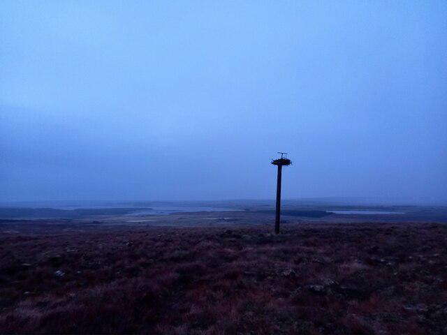 Photo could not load
ND0655 : Perch on Ben Dorrery, Caithness
Andrew Tryon
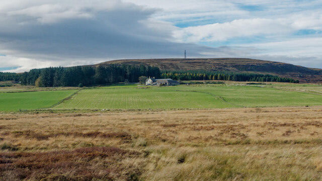 Photo could not load
ND0655 : Ben Dorrery near Scotscalder
Julian Paren
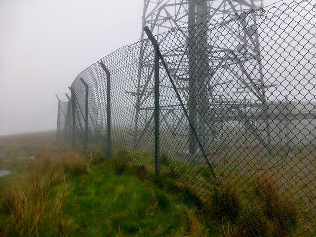 Photo could not load
ND0655 : Ben Dorrery
Rude Health
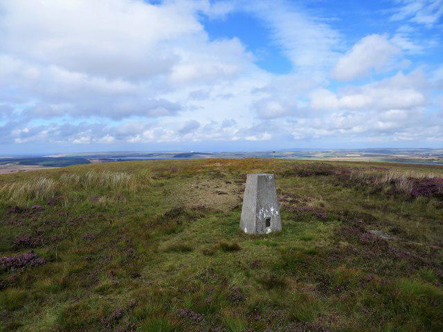 Photo could not load
ND0655 : Ben Dorrery triangulation pillar
John Ferguson
Hill facts and local notes
Classifications
Elevation
244m
801 ft
Prominence
133m
Coordinates
58.4731, -3.6099
ND062550
OS Map
11 12
Explorer: 451W
At the Summit
The summit features a sizable cairn, which is a welcome sight for tired hikers ensuring they've truly made it to the top!
Terrain & Geology
Composed primarily of schist, Ben Dorrery offers fascinating geological features such as rugged crags and smooth, rounded hills formed by glacial activity.
Views & Scenery
From the summit, one can enjoy sweeping views over the lush glens and the distant peaks of the North-west Highlands, including the famous Assynt mountains.
History & Heritage
Name Origin
The name 'Dorrery' may derive from the Gaelic 'Dorairidh', meaning 'the place of the deer', referencing the local wildlife.
Historical Significance
The mountain has been a cherished destination for walkers and climbers, contributing to the region's outdoor culture.
Getting There & Facilities
Check current local access restrictions, parking rules and transport timetables before travelling. These notes do not confirm public access to the summit.
Parking
There is a small parking area located at the start of the southern approach trail, accommodating about 6-8 vehicles.
Public Transport
Public transport is limited; however, local buses run from Ullapool to nearby villages.
Nearby Facilities
Ullapool has a variety of cafes, pubs, and shops, as well as toilets at the visitor centre.
Safety Information
Known Hazards
- Loose rock on steeper sections can cause slips, so watch your footing. Also, beware of changing weather conditions that can reduce visibility.
General Safety Tips
- Check weather conditions before setting out
- Carry appropriate clothing and equipment
- Let someone know your planned route
- Take a map, compass, and GPS device
- Carry emergency supplies: food, water, first aid kit, torch
Hills
Some common questions about the hills answered
Are there group walks up Ben Dorrery?
Many walkers use Walkmates to join or organise walks with others. You can check for group walks around Ben Dorrery through the maps
Are there other walkers around Ben Dorrery?
Activity varies by location and time, but Walkmates lets you see whether others have shared walks or shown interest in this area. Find other people through the walking friends search walking friends for Ben Dorrery search or of course create your own walk for Ben Dorrery
Can I organise a walk to Ben Dorrery?
Yes. If there aren’t any walks listed already, you can create a walk and make it available for others to join.
If you're signed up to Walkmates, you can create a walk to Ben Dorrery.
How do I find a walk up this hill?
There are often multiple ways to walk this hill, depending on experience and route preference. Walkmates helps you explore walks and routes that others have shared.
Can I suggest a new route up Ben Dorrery?
Yes. You can suggest or create routes to share with others. Walkmates focuses on the social side of walking, so routes are used to help people organise walks and explore areas together, rather than as detailed navigation tools or route libraries.
Other uses really appreciate knowledgeable walkers sharing their routes. Share your favourite route to Ben Dorrery here
The is an error or something incorrect about this hill. How do I let you know?
We always strive to keep the information on Walkmates as accurate as possible. If you find an error, please let us know through the contact form and we'll aim to correct it as quickly as possible
Community Discussion
Comments
Location
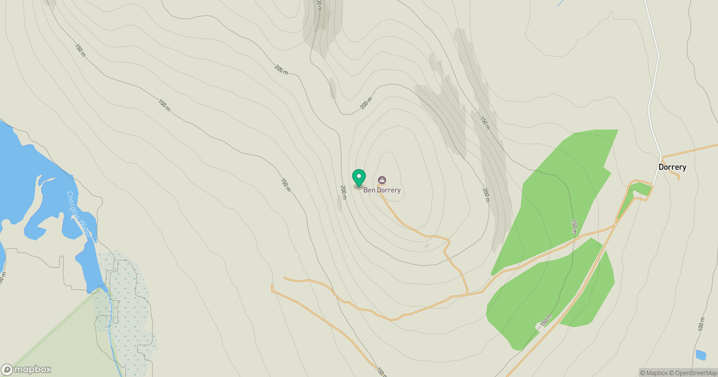
Grid reference: ND062550
View on OpenStreetMapOpens a map in a new tab, centred on the hill.
Hills within 30 km
Straight-line distance, not a walking route or confirmation of access.
No comments yet. Be the first.