

Morven
Good walks are even better shared.
ND0028 : Dry tundra, Morven
Richard Webb Photo source
Overview
Discovering Morven
Morven, at 871 meters, stands majestically in Aberdeenshire's landscape, inviting outdoor enthusiasts from all walks of life. Its classification as a Marilyn means it’s enjoyed for its prominence and accessibility.
Geology
The mountain's granite backbone, coupled with its glacial features, creates a scenic setting that is as rugged as it is beautiful. The evidence of ancient glaciers is carved into the ridges and hollows, making it a fascinating spot for geology buffs.
Routes
The Morven Circuit is the most favoured route, stretching 8 km with a moderate difficulty level. Prepare to be mesmerised by the views that unfold at every corner; just remember, it’s a bit of a leg burner! This circular route tops out at the summit and offers the thrill of varied terrain.
Summit Features
Upon reaching the summit, hikers are greeted by a robust stone cairn and a trig point, perfect for photo ops. It’s a little bit like a mountain selfie hotspot, minus the filters!
Terrain Type
The journey involves rocky paths combined with lush, grassy slopes that are wonderful yet can surprise you with the odd boggy patch—definitely a 'watch your step' situation.
Views
At the top, the panoramic views can leave you speechless—always a good time to take a moment and soak it all in. Cairngorms in the distance and perhaps the twinkle of the North Sea can be spotted on clear days. Spring and autumn are your best bets for those picture-perfect moments, with lush greens and autumnal reds painting the landscape.
Hazards
As with any adventure, there are a few potential hiccups. The rocky terrain can turn slippery when damp, and weather can shift quicker than a cat on a hot tin roof. Be prepared!
Nearby Summits
If you are looking to extend your hike, consider nearby peaks like Tap o' Noth and Mount Blair. Each offers its own bragging rights and stunning views!
Access
Parking: The closest car park is just at the base, making it easy to set off on your adventure.
Public Transport: Unfortunately, public transport is a tad sparse in these parts, but there is a bus route from Huntly, with a charming walk to the trailhead.
Nearest Town: Alford is the closest town, where you can find cafes to recharge after a day in the hills.
Facilities
You won’t find facilities on the mountain, but don’t worry, Alford has got you covered with some basic amenities!
History
The name 'Morven' evokes a sense of grandeur; it means ‘big peak’ in Gaelic, and it certainly lives up to its title. Steeped in folklore, this majestic peak has captivated the stories of locals throughout the ages.
So pack your boots, grab some snacks, and head to Morven—adventure awaits!
Explore routes near Morven
Walks starting near this hill. Open a route to check its map, distance and full itinerary.
Ben Klibreck
View route
Loch Migdale from Torroy: Spinningdale pinewood and loch shore walk
View route
Findhorn guided night walk
View route
Elgin guided night walk
View route
Route planning notes
These notes describe possible approaches. Check a route's map and access information when planning your walk.
Morven Circuit
A popular circular route starting from the car park at the base, this trail offers a variety of terrains and scenic views.
Make a day of it, together
Find someone to share the walk with, or organise a day out along a route you like.
Photo Gallery
View all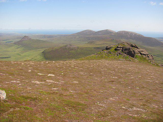 Photo could not load
ND0028 : Dry tundra, Morven
Richard Webb
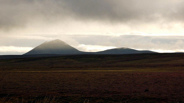 Photo could not load
ND0028 : Morven viewed from the Rumsdale road
John Lucas
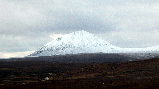 Photo could not load
ND0028 : A snow-capped Morven
John Lucas
 Photo could not load
ND0028 : Bristow S61N MkII helicopter (G-BHOH)
Stanley Howe
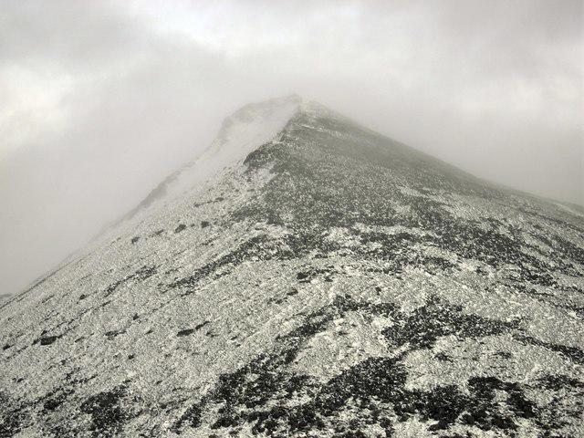 Photo could not load
ND0028 : Morven
Colin Kinnear
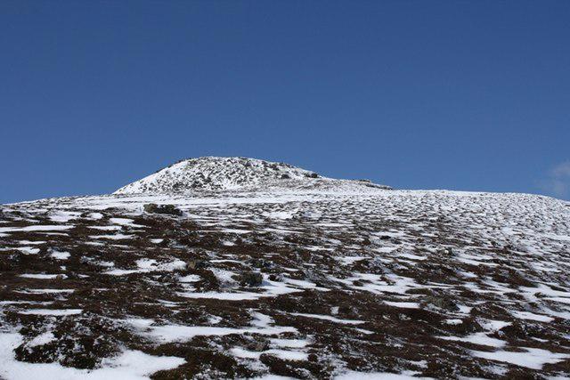 Photo could not load
ND0028 : Main summit of Morven from south east
Roddy Urquhart
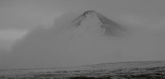 Photo could not load
ND0028 : Morven
Colin Kinnear
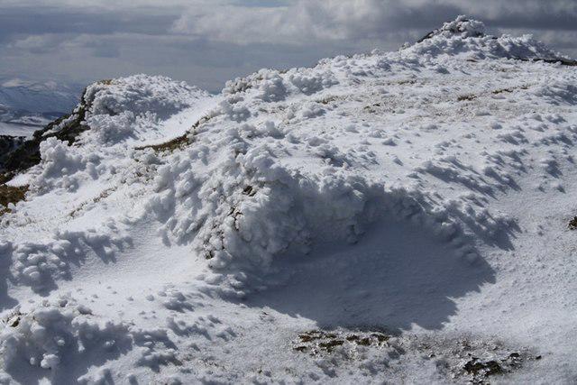 Photo could not load
ND0028 : Snow crystals near Morven summit
Roddy Urquhart
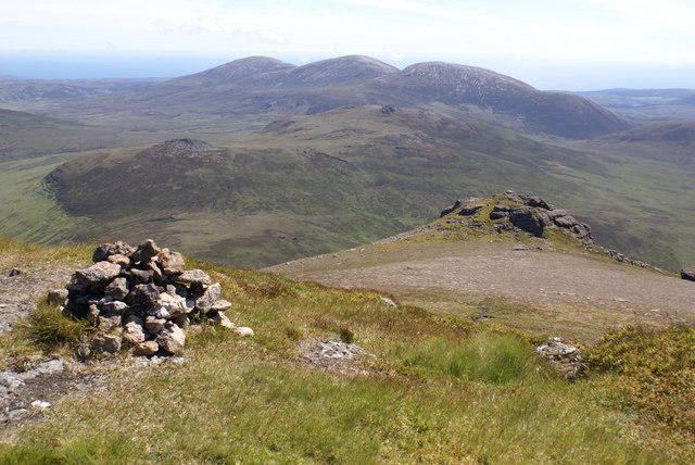 Photo could not load
ND0028 : Morven Summit
Peter Standing
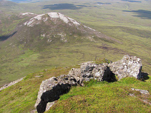
ND0028 : West side of Morven
Richard Webb
Hill facts and local notes
Classifications
Elevation
706m
2,316 ft
Prominence
576m
Coordinates
58.2342, -3.6967
ND004285
OS Map
17
Explorer: 444E
At the Summit
The summit is marked by a large stone cairn and offers a trig point that stands as a proud sentinel over the surrounding landscape.
Terrain & Geology
Morven is primarily composed of granite, with interesting glacially-formed features including prominent ridges and hollowed valleys, a testament to the powerful forces of nature that shaped this land.
Views & Scenery
From the summit, one can admire views of the distant Cairngorms and the undulating hills of Aberdeenshire. On a clear day, you might even spot the North Sea shimmering in the distance.
History & Heritage
Name Origin
The name 'Morven' is derived from the Scottish Gaelic 'Morar', meaning 'big peak'.
Historical Significance
Morven has long been a significant landmark for local communities, often associated with folklore and tales of ancient spirits.
Getting There & Facilities
Parking
There is a small car park at the start of the route, located at grid reference ND004285.
Public Transport
Public transport options are limited; the closest bus service runs from Huntly to Alford, with a scenic walk from the bus stop to the car park.
Nearby Facilities
Basic facilities are available in Alford, including cafes and public toilets; there are no facilities on the mountain itself.
Safety Information
Known Hazards
- Rocky terrain can be slippery, especially in wet conditions. Watch out for sudden weather changes common in the Highlands.
General Safety Tips
- Check weather conditions before setting out
- Carry appropriate clothing and equipment
- Let someone know your planned route
- Take a map, compass, and GPS device
- Carry emergency supplies: food, water, first aid kit, torch
Hills
Some common questions about the hills answered
Are there group walks up Morven?
Many walkers use Walkmates to join or organise walks with others. You can check for group walks around Morven through the maps
Are there other walkers around Morven?
Activity varies by location and time, but Walkmates lets you see whether others have shared walks or shown interest in this area. Find other people through the walking friends search walking friends for Morven search or of course create your own walk for Morven
Can I organise a walk to Morven?
Yes. If there aren’t any walks listed already, you can create a walk and make it available for others to join.
If you're signed up to Walkmates, you can create a walk to Morven.
How do I find a walk up this hill?
There are often multiple ways to walk this hill, depending on experience and route preference. Walkmates helps you explore walks and routes that others have shared.
Can I suggest a new route up Morven?
Yes. You can suggest or create routes to share with others. Walkmates focuses on the social side of walking, so routes are used to help people organise walks and explore areas together, rather than as detailed navigation tools or route libraries.
Other uses really appreciate knowledgeable walkers sharing their routes. Share your favourite route to Morven here
The is an error or something incorrect about this hill. How do I let you know?
We always strive to keep the information on Walkmates as accurate as possible. If you find an error, please let us know through the contact form and we'll aim to correct it as quickly as possible
Community Discussion
Comments
Location
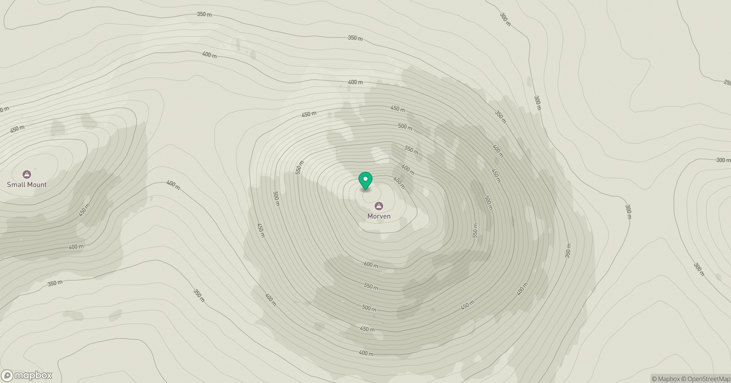
Grid reference: ND004285
View on OpenStreetMapOpens a map in a new tab, centred on the hill.
No comments yet. Be the first.