

Dunnet Head
Good walks are even better shared.
ND2076 : Nesting seabirds at Dunnet Head
Trevor Littlewood Photo source
Overview
Dunnet Head: The Northernmost Point of Mainland Britain
Nestled in the stunning landscapes of Caithness, Dunnet Head stands proudly as the northernmost point of mainland Britain. At an elevation of 349 meters, this Marilyn presents both a challenge and a reward for hikers seeking spectacular views.
Geology
Dunnet Head is primarily made up of Old Red Sandstone, giving the area its dramatic cliffs and fascinating geological features. Formed in the Devonian period, it's a perfect spot for geology enthusiasts to explore the sedimentary layers and appreciate the ancient history beneath their feet.
Routes
One of the most popular routes is the Dunnet Head Circular Walk, a delightful 6.5 km trek starting from the car park at the lighthouse viewpoint. This moderate walk meanders along coastal paths, guaranteeing unforgettable vistas of the Orkney Islands to your north. Allocate around 2.5 hours, allowing you time to truly absorb the scenery and perhaps even spot some seabirds!
Summit Features
Finally reaching the summit, hikers are greeted by the iconic lighthouse built in 1849. The site features a viewing platform that allows you to take in the majestic views while pondering how many ships have relied on this landmark. A selfie here is a must—you’ll want to boast to your friends who chose a less adventurous afternoon!
Terrain and Views
Expect mostly grassy terrain peppered with rocky sections. The view from the top, especially on clear days, is worth the trek, showcasing sweeping views of the Orkneys and the rugged coastline. Spring and summer are the best times to visit, when the landscape is bursting with life.
Hazards
A word of caution: while the views are stunning, the steep cliffs can be treacherous. Care is needed on the paths, especially when wet. The weather in Caithness can change on a whim, so dressing in layers is a smart move.
Access
Getting to Dunnet Head is relatively straightforward. With a well-signposted car park at the lighthouse, it’s accessible for most hikers. Public transportation from nearby Thurso is available, but check schedules for optimal timings.
Facilities
While the summit offers no facilities, Thurso is just a short drive away, boasting cafes, restaurants, and toilets—a perfect way to cap off your hike with a well-deserved slice of cake.
Conclusion
Dunnet Head is not just a hike; it's an experience steeped in history, geology, and breathtaking scenery. Whether you’re a seasoned hiker or a casual walker, this outing is a perfect day trip that will leave you with a sense of accomplishment and perhaps even an amusing story or two!
Explore routes near Dunnet Head
Walks starting near this hill. Open a route to check its map, distance and full itinerary.
Route planning notes
These notes describe possible approaches. Check a route's map and access information when planning your walk.
Dunnet Head Circular Walk
Starting from the car park at the Dunnet Head viewpoint, this circular route takes you along coastal paths with stunning views of the Orkney Islands.
Make a day of it, together
Find someone to share the walk with, or organise a day out along a route you like.
Photo Gallery
View all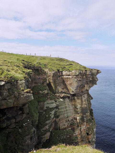 Photo could not load
ND2076 : Nesting seabirds at Dunnet Head
Trevor Littlewood
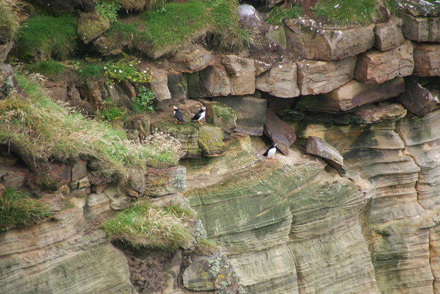 Photo could not load
ND2076 : Puffins on the cliff at Bank Head
Bill Boaden
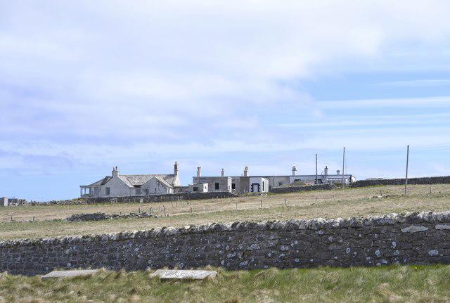 Photo could not load
ND2076 : Buildings on the Summit of Dunnet Head, Dunnet Head Peninsula, Caithness
Terry Robinson
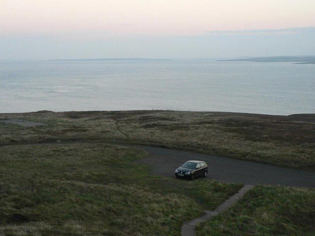 Photo could not load
ND2076 : Dunnet Head: viewpoint car park
Chris Downer
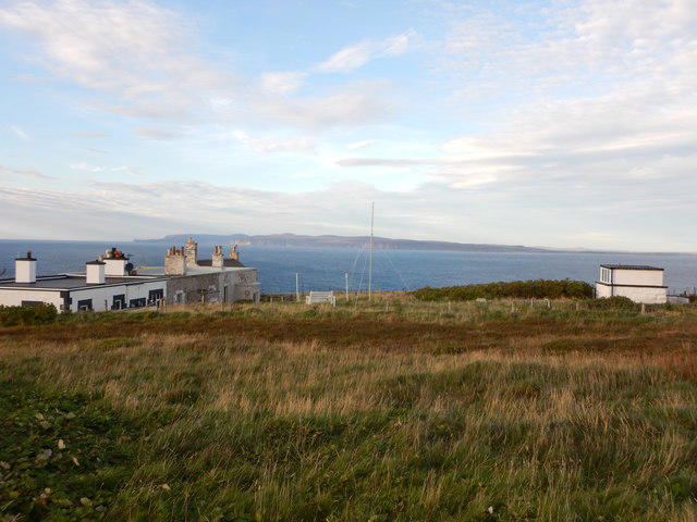 Photo could not load
ND2076 : Easter Head the Northern Tip of Dunnet Head
James Emmans
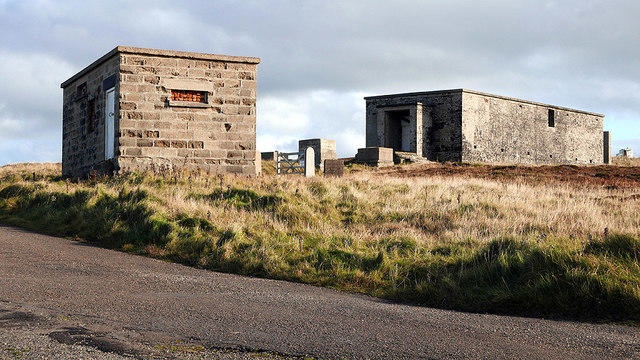 Photo could not load
ND2076 : Dunnet Head Chain Home Radar Station
John Lucas
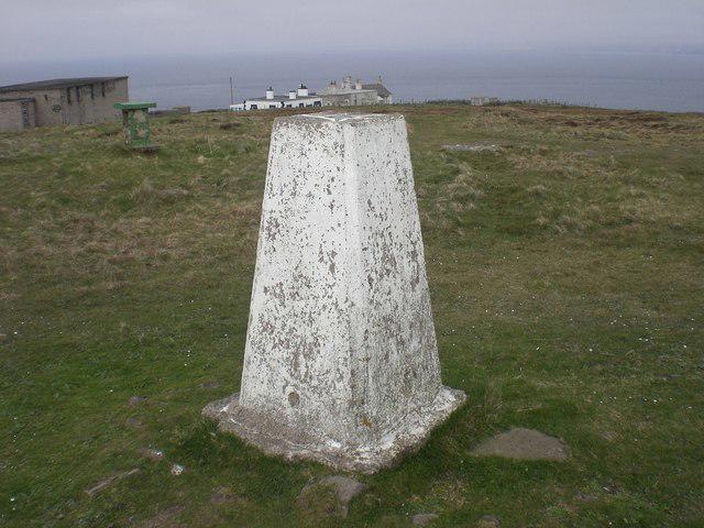 Photo could not load
ND2076 : Triangulation Pillar
Lyn Anderson
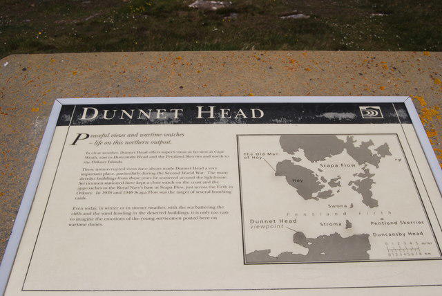 Photo could not load
ND2076 : Info board at Dunnet Head
hayley green
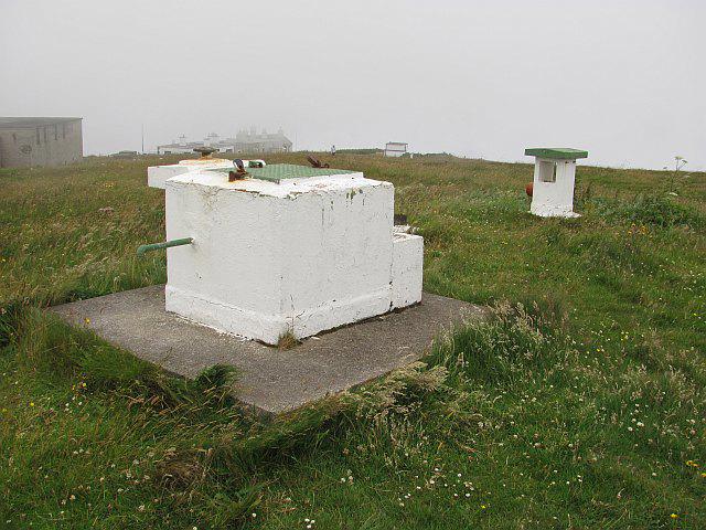 Photo could not load
ND2076 : ROC post Dunnet Head
Richard Webb
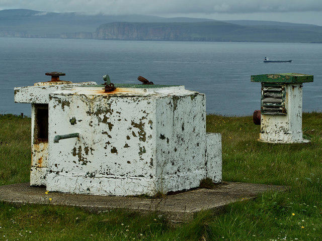
ND2076 : Royal Observer Corps underground monitoring post
Mick Garratt
Hill facts and local notes
Classifications
Elevation
129m
423 ft
Prominence
103m
Coordinates
58.6690, -3.3718
ND205765
OS Map
7 12
Explorer: 451E
At the Summit
At the summit, you will find a historic lighthouse that dates back to 1849, along with a panoramic viewing platform. Don't forget to snap a selfie because, after all, a picture is worth a thousand likes!
Terrain & Geology
Dunnet Head is primarily composed of Old Red Sandstone, which gives it a dramatic cliff face and a rich geological history, showcasing sedimentary features from the Devonian period.
Views & Scenery
You can enjoy breathtaking views of the Orkney Islands, the dramatic cliffs along the coastline, and on a clear day, you might even spot distant landmarks in the far north.
History & Heritage
Name Origin
The name 'Dunnet' is thought to derive from the Old Norse 'Donn', meaning 'hill' or 'mountain'.
Historical Significance
Dunnet Head is the northernmost point of mainland Britain and has a rich maritime history, being a crucial landmark for ships navigating the treacherous waters of the Pentland Firth.
Getting There & Facilities
Parking
There is a dedicated car park at the Dunnet Head lighthouse, which offers enough space for multiple vehicles.
Public Transport
Buses operate from Thurso to Dunnet Head, but check local schedules as service can be infrequent.
Nearby Facilities
There are no facilities at the summit, but nearby Thurso offers cafes, restaurants, and toilets, ideal for a post-hike refreshment.
Safety Information
Known Hazards
- Be cautious of steep cliffs and uneven ground, particularly near the summit and coastal paths. The weather can change surprisingly quickly, so pack an extra layer just in case!
General Safety Tips
- Check weather conditions before setting out
- Carry appropriate clothing and equipment
- Let someone know your planned route
- Take a map, compass, and GPS device
- Carry emergency supplies: food, water, first aid kit, torch
Hills
Some common questions about the hills answered
Are there group walks up Dunnet Head?
Many walkers use Walkmates to join or organise walks with others. You can check for group walks around Dunnet Head through the maps
Are there other walkers around Dunnet Head?
Activity varies by location and time, but Walkmates lets you see whether others have shared walks or shown interest in this area. Find other people through the walking friends search walking friends for Dunnet Head search or of course create your own walk for Dunnet Head
Can I organise a walk to Dunnet Head?
Yes. If there aren’t any walks listed already, you can create a walk and make it available for others to join.
If you're signed up to Walkmates, you can create a walk to Dunnet Head.
How do I find a walk up this hill?
There are often multiple ways to walk this hill, depending on experience and route preference. Walkmates helps you explore walks and routes that others have shared.
Can I suggest a new route up Dunnet Head?
Yes. You can suggest or create routes to share with others. Walkmates focuses on the social side of walking, so routes are used to help people organise walks and explore areas together, rather than as detailed navigation tools or route libraries.
Other uses really appreciate knowledgeable walkers sharing their routes. Share your favourite route to Dunnet Head here
The is an error or something incorrect about this hill. How do I let you know?
We always strive to keep the information on Walkmates as accurate as possible. If you find an error, please let us know through the contact form and we'll aim to correct it as quickly as possible
Community Discussion
Comments
Location
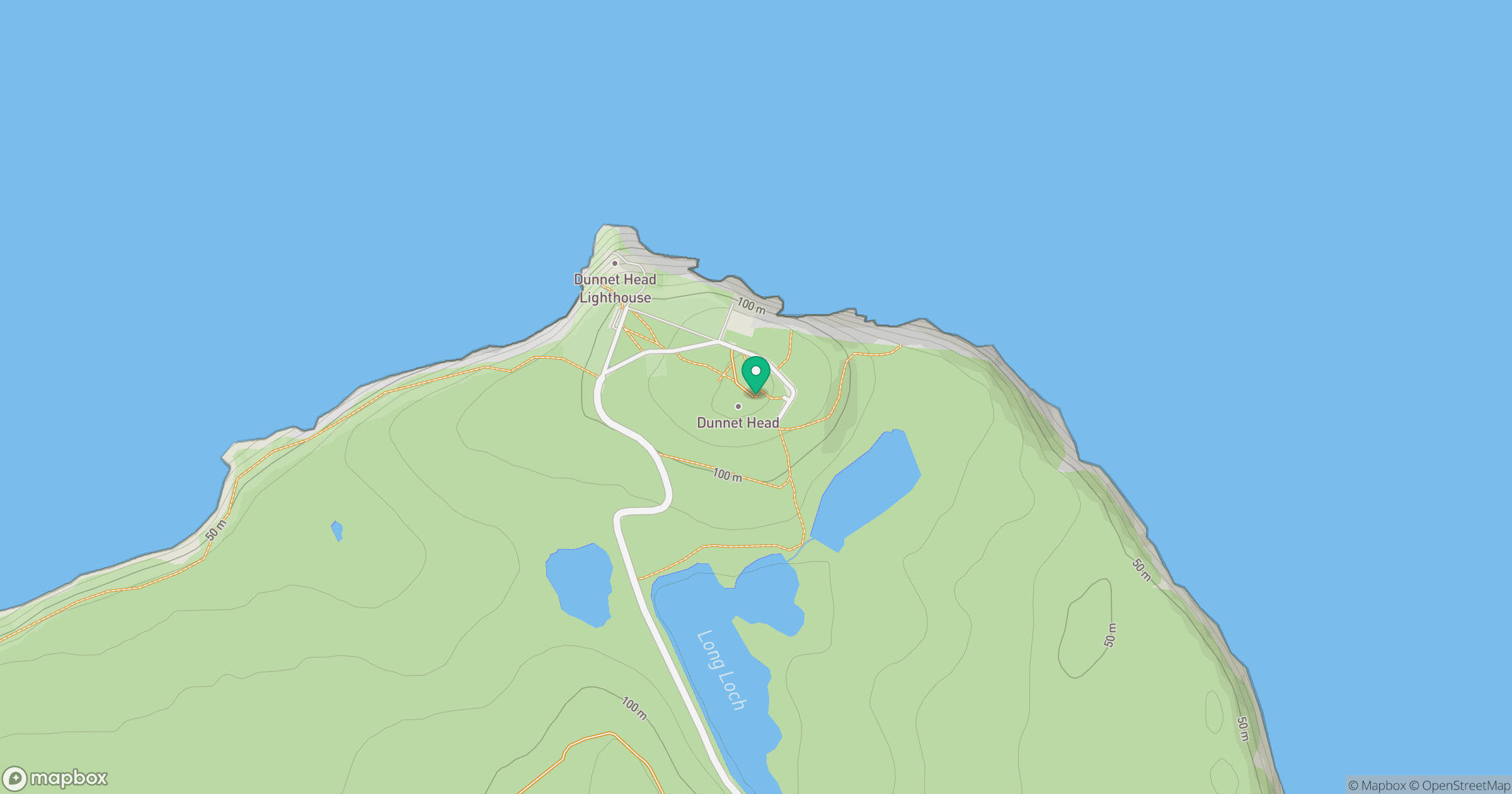
Grid reference: ND205765
View on OpenStreetMapOpens a map in a new tab, centred on the hill.
No comments yet. Be the first.