

Bald Hill
Good walks are even better shared.
Overview
Bald Hill: A Hidden Gem in Snowdonia
Nestled amidst the enchanting landscape of Snowdonia National Park, Bald Hill (Mynydd Bala) offers a delightful escape for hikers seeking both serenity and spectacular views. With an elevation of 305 meters, it may not be the highest peak around, but what it lacks in altitude, it certainly makes up for in charm.
Geology
Bald Hill boasts an intriguing geological history dating back to the Ordovician period, showcasing the volcanic origins of the surrounding area. The rocky outcrops and grassy slopes give hikers a glimpse into the ancient forces that shaped this part of Wales.
Routes
The Bald Hill Circular Walk is the most popular route, starting from the quaint village of Capel Curig. Spanning 6.5 km and taking approximately 2.5 hours, it is rated as moderate in difficulty, making it suitable for most walkers. This walk provides a blend of gentle ascents and lively terrain, perfect for those who enjoy a bit of adventure without the heart-pounding challenge of more demanding climbs.
Summit Features
Upon reaching the summit, you'll be greeted by a friendly stone cairn that serves as a perfect backdrop for photos or a peaceful moment of reflection. In good weather, the views will take your breath away — and possibly your lunch if you’re not quick enough!
Terrain
The terrain around Bald Hill varies from grassy fields to rocky outcrops, ensuring that no two steps are ever the same. Keep your wits about you, especially in wet weather, as the paths can become slippery.
Views
The views from Bald Hill are nothing short of stunning. The majestic peaks of Snowdon and Tryfan loom in the background, while the tranquil expanse of Llyn Ogwen glistens invitingly below. For the best experience, visit during spring or early autumn when the landscape is alive with colour and the air is clean and clear.
Hazards
While Bald Hill is generally accessible, it’s important to watch out for slippery paths and rocky sections, particularly after rainfall. Always choose sturdy walking boots and keep an eye on the weather forecast!
Nearby Summits
For those hungry for more adventure, nearby peaks such as Moel Siabod and Tryfan await, each offering their own unique challenges and rewards.
Access
Reaching Bald Hill is a breeze. There’s ample free parking in Capel Curig, and public transport options abound, with regular buses from nearby towns like Betws-y-Coed and Bangor. Capel Curig itself is a charming little place, perfect for a pre-hike cuppa or a post-walk treat.
Facilities
Refreshments are never far away in Capel Curig, with various cafes and shops where you can replenish your energy before or after your hilltop adventure.
History
The etymology of Bald Hill speaks to its largely treeless summit, giving it a character unlike its more wooded neighbours. It’s a significant part of Snowdonia’s natural heritage, serving as a beloved destination for both locals and tourists alike.
All in all, Bald Hill is a wonderful destination that continues to capture the hearts of hikers. Whether you're seeking a leisurely stroll or an opportunity to soak in some breathtaking views, this hill has got you covered. So lace up those boots, grab your walking stick, and head on out!
Explore routes near Bald Hill
Public walks starting within 80 km of this hill. Nearby does not mean a route reaches the summit; check its map and access before setting out.
Cowleaze Wood Halifax Crash Memorial Circuit
View route
Hughenden German Forest and Echo Valley Circuit
View route
Thames Path from Wallingford to Goring Lock
View route
Henley and Hambleden Lock Thames Path Walk
View route
Route planning notes
These notes describe possible approaches, not verified navigable routes or permission to cross land. Check current paths, local access rules and conditions before setting out.
Bald Hill Circular Walk
A scenic circular walk starting from the nearby village of Capel Curig. This route offers a gentle ascent and is a favourite among local walkers.
Make a day of it, together
Find someone to share the walk with, or organise a day out along a route you like.
Photo Gallery
View all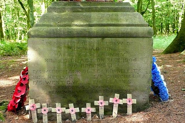 Photo could not load
SU7295 : Memorial in Cowleaze Wood
Graham Horn
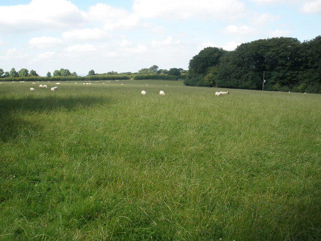 Photo could not load
SU7395 : Grazing land, at Upper Vicar's Farm
Roger Cornfoot
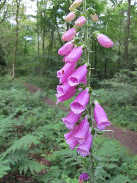 Photo could not load
SU7395 : Foxglove, Cowleaze Wood
David Hawgood
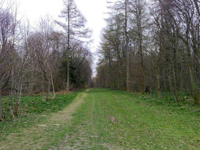 Photo could not load
SU7295 : Woodland Track, Cowleaze Wood
mick finn
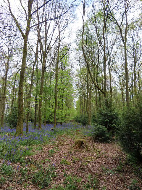 Photo could not load
SU7395 : Bluebells in Cowleaze Wood
Steve Daniels
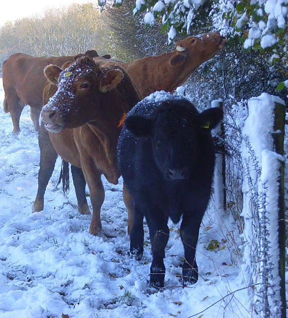 Photo could not load
SU7395 : Snowy cattle beside Cowleaze Wood, Lewknor
Andrew Smith
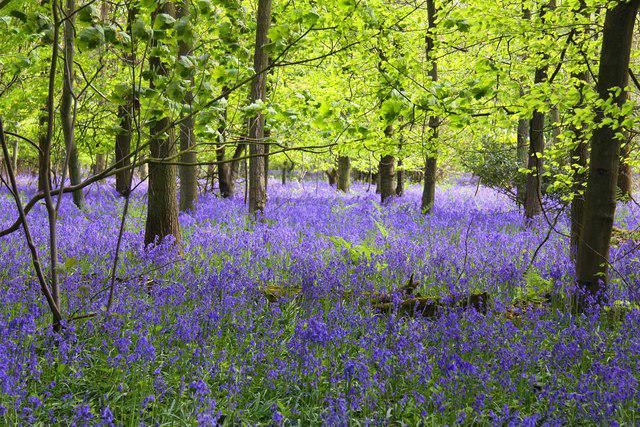 Photo could not load
SU7295 : Bluebells in Cowleaze Wood
Steve Daniels
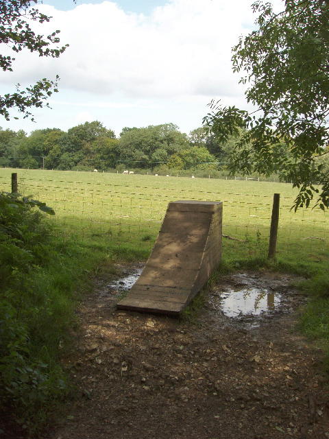 Photo could not load
SU7295 : "Platform for Self Elevation" - a useful sculpture
David Hawgood
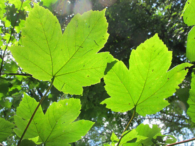 Photo could not load
SU7295 : Sycamore leaves seen against light, Cowleaze Wood
David Hawgood
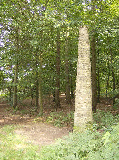
SU7295 : Chiltern sculpture trail
Graham Horn
Hill facts and local notes
Classifications
Elevation
257m
844 ft
Prominence
125m
Coordinates
51.6562, -0.9484
SU728957
OS Map
165
Explorer: 171
At the Summit
The summit of Bald Hill features a small stone cairn with stunning views of the surrounding valleys and mountains, making it a perfect spot for a rest (and a selfie).
Terrain & Geology
Bald Hill is primarily composed of volcanic rock, characteristic of the region's geological history of volcanic activity during the Ordovician period. The surrounding landscape features glacially sculpted hills and valleys.
Views & Scenery
From the summit, you can see the impressive peaks of Snowdon, Tryfan, and the serene waters of Llyn Ogwen.
History & Heritage
Name Origin
The name 'Bald Hill' is thought to derive from its relatively treeless summit compared to the surrounding mountains, giving it a distinct silhouetted appearance.
Historical Significance
Bald Hill is part of the heritage of Snowdonia, providing both natural beauty and recreational opportunities for visitors.
Getting There & Facilities
Check current local access restrictions, parking rules and transport timetables before travelling. These notes do not confirm public access to the summit.
Parking
There is a car park at the start of the walk in Capel Curig, which is typically free and accommodates several vehicles.
Public Transport
Regular bus services run from nearby towns like Betws-y-Coed and Bangor, making it easily accessible.
Nearby Facilities
There are several cafes and shops in Capel Curig, offering refreshments and toilets all within a stone's throw from the car park.
Safety Information
Known Hazards
- Wet and slippery paths, especially after rainfall. Be prepared to carefully navigate rocky sections.
General Safety Tips
- Check weather conditions before setting out
- Carry appropriate clothing and equipment
- Let someone know your planned route
- Take a map, compass, and GPS device
- Carry emergency supplies: food, water, first aid kit, torch
Hills
Some common questions about the hills answered
Are there group walks up Bald Hill?
Many walkers use Walkmates to join or organise walks with others. You can check for group walks around Bald Hill through the maps
Are there other walkers around Bald Hill?
Activity varies by location and time, but Walkmates lets you see whether others have shared walks or shown interest in this area. Find other people through the walking friends search walking friends for Bald Hill search or of course create your own walk for Bald Hill
Can I organise a walk to Bald Hill?
Yes. If there aren’t any walks listed already, you can create a walk and make it available for others to join.
If you're signed up to Walkmates, you can create a walk to Bald Hill.
How do I find a walk up this hill?
There are often multiple ways to walk this hill, depending on experience and route preference. Walkmates helps you explore walks and routes that others have shared.
Can I suggest a new route up Bald Hill?
Yes. You can suggest or create routes to share with others. Walkmates focuses on the social side of walking, so routes are used to help people organise walks and explore areas together, rather than as detailed navigation tools or route libraries.
Other uses really appreciate knowledgeable walkers sharing their routes. Share your favourite route to Bald Hill here
The is an error or something incorrect about this hill. How do I let you know?
We always strive to keep the information on Walkmates as accurate as possible. If you find an error, please let us know through the contact form and we'll aim to correct it as quickly as possible
Community Discussion
Comments
Location
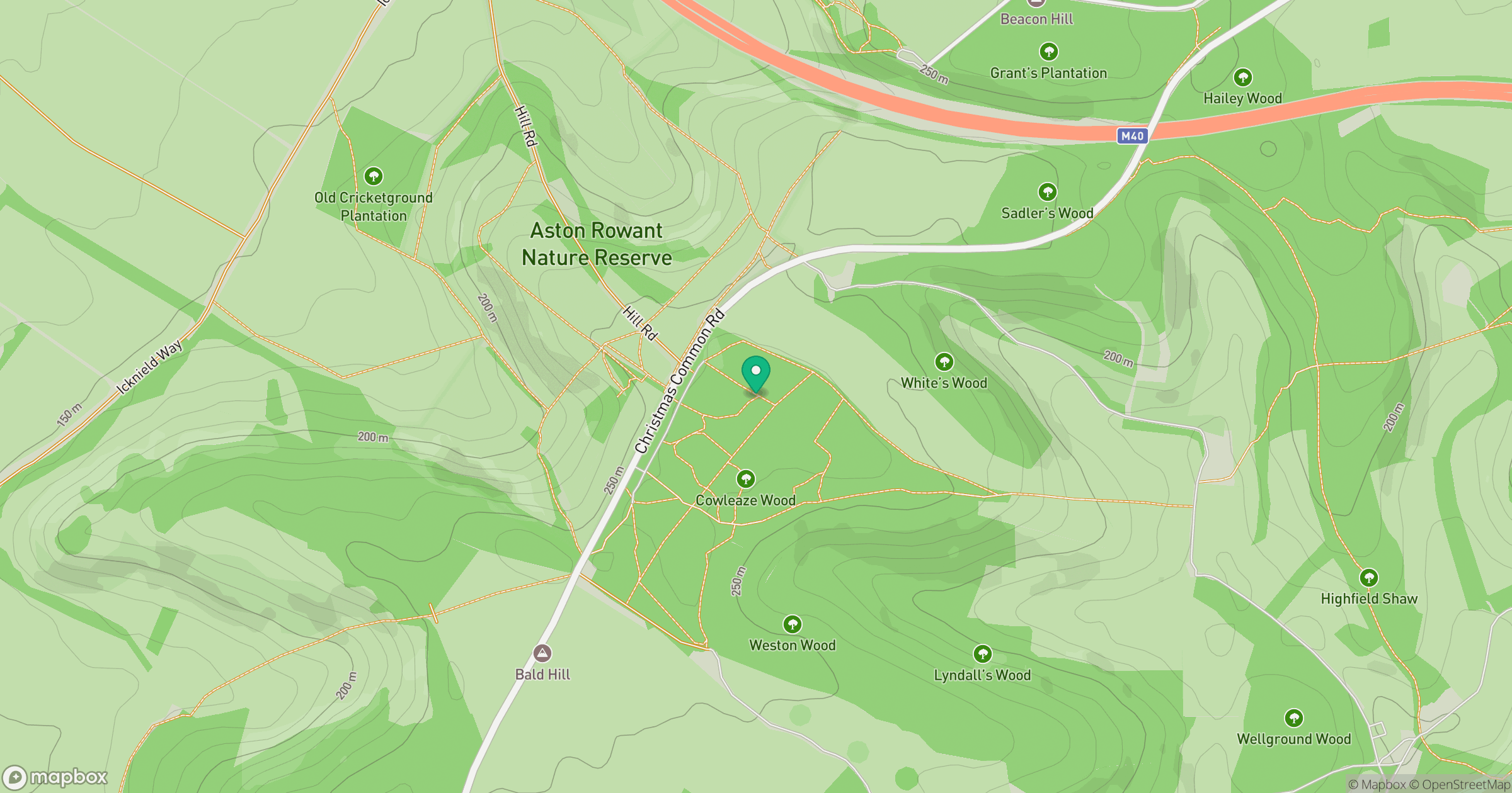
Grid reference: SU728957
View on OpenStreetMapOpens a map in a new tab, centred on the hill.
Hills within 30 km
Straight-line distance, not a walking route or confirmation of access.
No comments yet. Be the first.