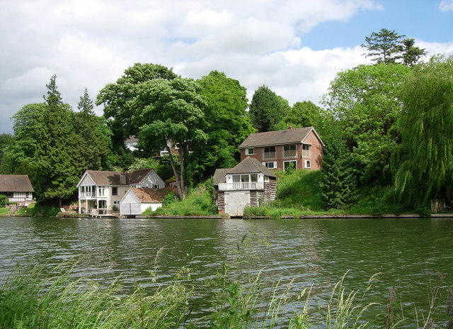
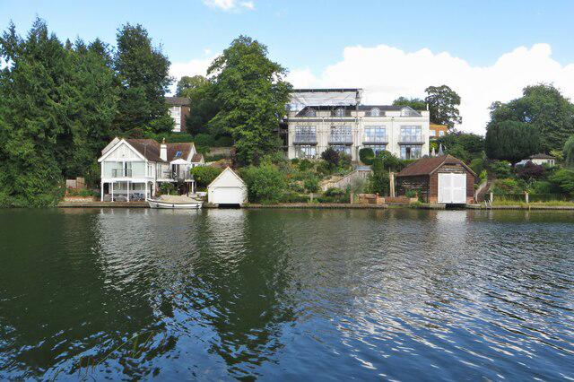
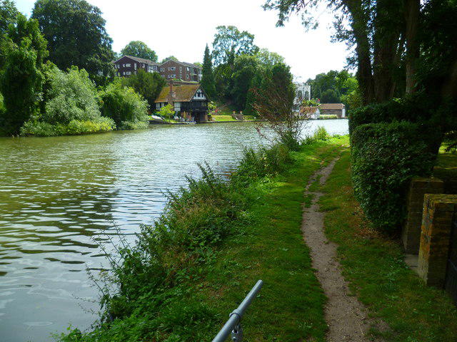
Follow the Thames downstream from Wallingford to the wooded hills around Goring Gap. This established National Trail stage starts at Cattlemarket car park and follows the west bank through riverside meadows, with the signed inland section through Moulsford. Cross the road bridge from Streatley into Goring, then finish beside Goring Lock. It is a gentle-paced day rather than a mountain walk, with plenty of open river views. Allow three to four hours of walking, plus stops. Expect muddy or flooded towpath after wet weather, gates and steps, about 1.1 km of A329 pavement at Moulsford and shorter street sections. This is a one-way walk, so arrange your return before setting off.
Start and parking: Start on the mapped pedestrian exit on the east side of Cattlemarket car park, OSM node 3229321665 at 51.5986447, -1.1228464. The short public footway joins Thames Street and the signed Thames Path. This is an actual car-park access point, not the town-centre map pin. OX10 0AU (current council page; relay source gives OX10 0HF) Council snapshot: up to five hours £5.30; up to ten hours £6.30. Charging Monday–Saturday 08:00–18:00, Sunday 10:00–17:00. Allow enough parking time for the walk and return travel; check current machine/council tariff. Council states open 24 hours; maximum stay 23 hours and no return within one hour. These are parking terms, not a universal trail-access guarantee. Council lists toilets at Cattlemarket. Availability/opening hours are not guaranteed.
Finish on the public riverside path beside Goring Lock, north of Goring Bridge, OSM node 1723324062 at 51.5233465, -1.1411162. The bridge and short approach to the lock are included. Railway station or bus-stop extensions are not included in the plotted distance.
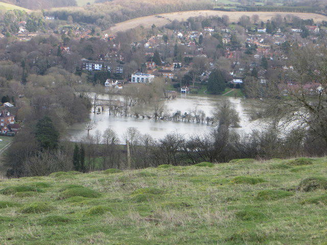
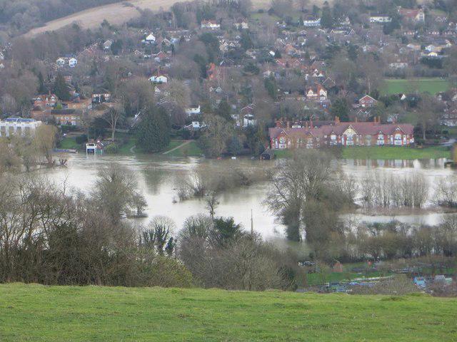
Terrain and timing: Riverside footpaths, grass and earth towpath, occasional paved or compacted paths, steps, and street/bridge pavement sections. Much of the terrain is low-lying and can become muddy or flooded. Mapped steps include 12 near Moulsford and 8 at Goring Bridge, the latter without a ramp; gates and kissing gates are present. The official 2026 relay lists Moderate; retained for this roughly 11 km stage with steps, wet ground and road sections. Not an accessibility or all-weather suitability claim. Editorial estimate of three to four hours walking, excluding transport and longer breaks; 210 minutes is a planning estimate.
Follow the west-bank Thames Path south from Wallingford. The east-bank route via North Stoke and South Stoke is a different alignment and is not used.
At Moulsford, follow the signed inland route via The Street and Ferry Lane. This includes about 1.10 km of A329 pavement; watch traffic at junctions. Do not attempt an unverified riverside shortcut.
At Streatley, cross the road bridge into Goring on the pavement, descend the eight mapped public steps without a ramp, then follow the public riverside path north towards the lock. The mapped Streatley FP24 notice area farther south is outside this route.
The published Streatley FP24 map is disjoint from this route, but its current active status is unconfirmed. Bounded current West Berkshire closure-layer and Oxfordshire restrictions-layer checks found no feature intersecting the corridor. No applicable named closure was found; this is not a same-day inspection of gates, flooding or temporary works.
Keep away from the unprotected river edge and do not walk through floodwater. Check official trail notices and local conditions again immediately before use.
Thames Travel service 134 links Goring & Streatley station and Wallingford Market Place. Check operating days and current times before setting out; the walk does not include connecting paths to the station or bus stops. No weekend, evening or guaranteed service claim.
No current route-wide dog-policy statement was verified. Keep dogs controlled around livestock and other users and follow local signs; no unrestricted off-lead claim.
Distance: 2026 relay section uses the same named practical endpoints. Geometry measures 10.874 km; the small difference from rounded official 11 km and older 11.1 km values is retained openly. No distance padding or extra station spur.
Information checked on 23 October 2026. Current flood and ground conditions, same-day temporary works and gate state; no field inspection or land-manager contact. Full current National Trails HTML could not be read directly; official PDFs and other primary material were reviewed instead. No reliable total ascent or step-free suitability assertion.
Route and visitor sources: https://nationaltrails.s3.eu-west-2.amazonaws.com/uploads/2026/05/Thames-Path-Relay-section-details1.pdf
https://www.nationaltrail.co.uk/en_GB/trails/thames-path/trail-information/
https://nationaltrails.s3.eu-west-2.amazonaws.com/uploads/Thames-Path-tre-FP24-closure-map.pdf
https://nationaltrails.s3.eu-west-2.amazonaws.com/uploads/thames_path_distances_source_to_teddington_jan_11.pdf
https://www.southoxon.gov.uk/south-oxfordshire-district-council/parking/car-parks/wallingford-car-parks/cattlemarket-wallingford/
https://www.southoxon.gov.uk/south-oxfordshire-district-council/sports-and-activities/out-and-about/parks-open-spaces-and-play-areas/public-toilets/
https://www.oxfordbus.co.uk/services/THTR/134
https://www.nationalrail.co.uk/stations/goring-streatley/
https://check-for-flooding.service.gov.uk/target-area/061WAF23WallGor
https://www.westberks.gov.uk/prowrestrictions
https://gis2.westberks.gov.uk/webapps/OnlineMap/?vln=PUBLIC+RIGHTS+OF+WAY+CLOSURES
https://publicrightsofway.oxfordshire.gov.uk/standardmap.aspx
Route geometry: © OpenStreetMap contributors, licensed under ODbL 1.0. https://www.openstreetmap.org/copyright https://opendatacommons.org/licenses/odbl/1-0/