

Arkle
Good walks are even better shared.
NC3046 : The rocky summit of Arkle
Gordon Brown Photo source
Overview
Climbing Arkle
Overview
Nestled in the heart of the breathtaking Scottish Highlands, Arkle towers at an impressive 788 meters. This iconic Marilyn offers hikers a combination of stunning vistas and a sense of adventure that is second to none.
Geology
Arkle's solid foundation is built upon ancient Lewisian Gneiss, making it an outdoor classroom for geology buffs who can appreciate the multi-billion-year-old rock formations. The rugged surges and sheer cliffs provide a stunning backdrop worthy of a postcard.
Routes
The recommended route is via the Bealach na Croise. As you ascend, take in the scenic beauty surrounding you—it's a gradual climb with a few heart-pumping moments that remind you nature has its way of keeping you fit. Approximate stats include a distance of about 9 km and an estimated time of 4 hours for the ascent.
Terrain
Expect rocky trails interspersed with grassy stretches and the occasional muddy patch. Remember, you’re in the Highlands — if there's a puddle, you'll find it!
Summit Features
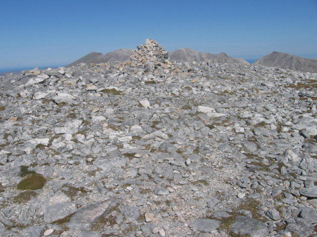
At the top, a sizeable cairn greets you, and it has probably witnessed more selfies than an Instagram influencer. It’s the perfect place to rest your feet and take in the view.
Views
Don’t forget your camera! From the summit, the panorama is awe-inspiring. You can see the stunning Foinaven ridges as well as Loch Stack, which looks like a blue gem surrounded by emerald hills. Early mornings and late afternoons provide the best light for those Instagram shots.
Hazards
The weather can change on a dime, so always check forecasts before leaving. Keep an eye out for loose rocks and a few pesky bogs that seem eager to claim unsuspecting boots!
Access
- Nearest Parking: Small parking area located at NC 297 477.
- Public Transport: Bus services from Lairg to Kinlochbervie—just don’t rely on them as your only mode of transportation!
- Nearest Town: Lairg, about 33 km away, offers cafes and facilities that are a hiker's lifeline.
Facilities
Stock up on snacks and take advantage of toilet facilities before you head out. There’s nothing worse than a sudden need while standing on a windy peak!
History
The name 'Arkle' signifies 'the rocky place' in Gaelic, which seems apt given the rugged terrain. Its historical significance cannot be understated; it has long been a vital landmark for both navigation and local culture.
Arkle awaits you with open arms and breathtaking vistas! If stone-cold beauty is your thing, you're in for a treat.
Explore routes near Arkle
Walks starting near this hill. Open a route to check its map, distance and full itinerary.
Ben Klibreck
View route
Loch Migdale from Torroy: Spinningdale pinewood and loch shore walk
View route
Route planning notes
These notes describe possible approaches. Check a route's map and access information when planning your walk.
Arkle via the Bealach na Croise
This popular route starts from a nearby track and offers a scenic ascent with panoramic views of the surrounding landscape.
Make a day of it, together
Find someone to share the walk with, or organise a day out along a route you like.
Photo Gallery
View all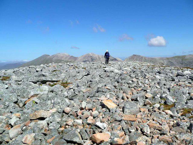 Photo could not load
NC3046 : The rocky summit of Arkle
Gordon Brown
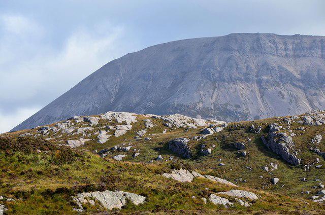 Photo could not load
NC3046 : Arkle screes from the River Laxford
Jim Barton
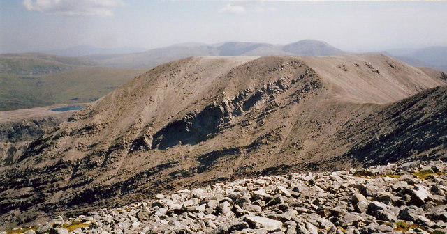 Photo could not load
NC3046 : South east from the summit of Arkle
Gordon Hatton
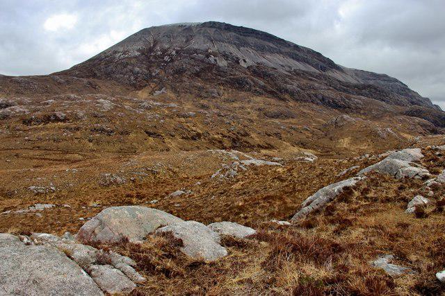 Photo could not load
NC3046 : Arkle from the west
Alan Reid
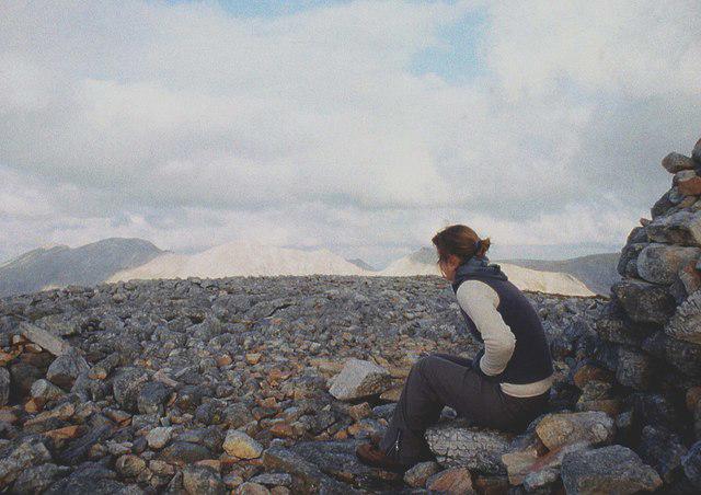 Photo could not load
NC3046 : On the highest top of Arkle
Alan Reid
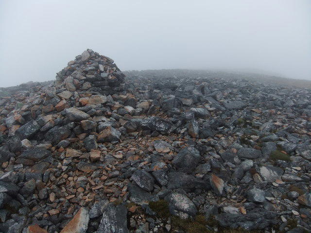 Photo could not load
NC3046 : Arkle summit
David Brown
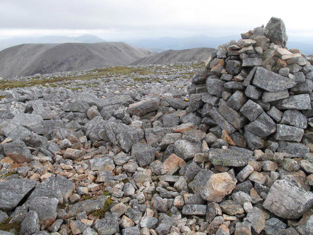 Photo could not load
NC3046 : Arkle Summit Cairn
Rude Health
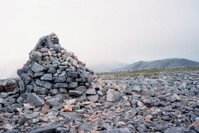 Photo could not load
NC3046 : Summit cairn, Arkle
Jim Barton
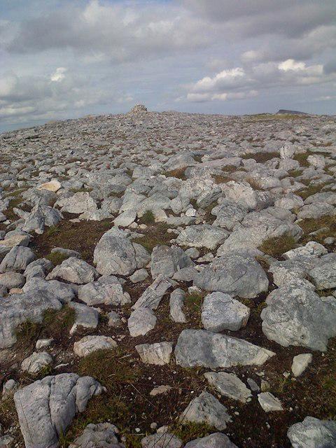 Photo could not load
NC3046 : Cairn, Arkle
Mick Garratt
NC3046 : The summit of Arkle
Chris Wimbush
Hill facts and local notes
Classifications
Elevation
787m
2,582 ft
Prominence
392m
Coordinates
58.3711, -4.9036
NC302461
OS Map
9
Explorer: 445
At the Summit
The summit is adorned with a large, iconic cairn that serves as a beacon for weary hikers. If you're lucky, you might find a brave soul camping out at the top!
Terrain & Geology
Arkle is primarily composed of ancient Lewisian Gneiss, which is some of the oldest rock in the world. Its striking ruggedness is a real treat for the geology enthusiasts out there!
Views & Scenery
From the summit, hikers can enjoy breathtaking views of the Foinaven and Arkle ridges, as well as Loch Stack. On a clear day, you might even catch a glimpse of the distant sea.
History & Heritage
Name Origin
The name 'Arkle' is derived from the Gaelic term 'Arcaill', meaning 'the rocky place'.
Historical Significance
Arkle has been a significant landmark for local communities for centuries, and its picturesque views make it a prime spot for artists and photographers.
Getting There & Facilities
Parking
There is a small car park at NC 297 477, which serves as a great starting point for the hike up Arkle.
Public Transport
The nearest bus service operates from Lairg and stops at Kinlochbervie, with limited service; planning is key!
Nearby Facilities
There are no facilities directly on the mountain, but you can find cafés and toilets in the town of Lairg for your pre-hike caffeine fix.
Safety Information
Known Hazards
- Be cautious of sudden weather changes, especially in the Highlands; it can go from sunny to soggy quicker than you can say 'not another shower!'. Watch out for loose rocks on the paths too.
General Safety Tips
- Check weather conditions before setting out
- Carry appropriate clothing and equipment
- Let someone know your planned route
- Take a map, compass, and GPS device
- Carry emergency supplies: food, water, first aid kit, torch
Hills
Some common questions about the hills answered
Are there group walks up Arkle?
Many walkers use Walkmates to join or organise walks with others. You can check for group walks around Arkle through the maps
Are there other walkers around Arkle?
Activity varies by location and time, but Walkmates lets you see whether others have shared walks or shown interest in this area. Find other people through the walking friends search walking friends for Arkle search or of course create your own walk for Arkle
Can I organise a walk to Arkle?
Yes. If there aren’t any walks listed already, you can create a walk and make it available for others to join.
If you're signed up to Walkmates, you can create a walk to Arkle.
How do I find a walk up this hill?
There are often multiple ways to walk this hill, depending on experience and route preference. Walkmates helps you explore walks and routes that others have shared.
Can I suggest a new route up Arkle?
Yes. You can suggest or create routes to share with others. Walkmates focuses on the social side of walking, so routes are used to help people organise walks and explore areas together, rather than as detailed navigation tools or route libraries.
Other uses really appreciate knowledgeable walkers sharing their routes. Share your favourite route to Arkle here
The is an error or something incorrect about this hill. How do I let you know?
We always strive to keep the information on Walkmates as accurate as possible. If you find an error, please let us know through the contact form and we'll aim to correct it as quickly as possible
Community Discussion
Comments
Location
View the hill's mapped position and surrounding paths.
Grid reference: NC302461
View on OpenStreetMapOpens a map in a new tab, centred on the hill.
Nearby Hills
Ben Stack
721m
Quinag - Sail Gharbh
809m
Quinag - Sail Ghorm [Sail Gorm]
776m
Quinag - Spidean Coinich
764m
Ben More Assynt
999m
No comments yet. Be the first.