

An Suidhe
Good walks are even better shared.
Overview
An Suidhe: A Jewel of the Highlands
Introduction
Nestled within the lush expanses of the Scottish Highlands, An Suidhe sits gracefully at an elevation of 745 meters. This Corbett may not reach the lofty heights of its taller neighbours, but its charm and panoramic views more than make up for it.
Geology
A lovely mix of schist and granite defines An Suidhe's rocky facade, offering hikers a geological lesson alongside their trek. Look out for glacial landforms which craft a sketch of Scotland's glacial past—if only those boulders could talk!
Routes
The recommended route starts from Inverarnan, a splendid track stretching approximately 8 km. Well-defined paths lead through enchanting glens, where Highland beauty greets you every step of the way. Hikers can expect this moderate trek to take about 3.5 hours; don’t forget to pack a snack!
Summit Features
Upon reaching the summit, a stone cairn welcomes you like an old friend. This sturdy marker isn’t just for show; it boasts excellent views, better than any monument of Scottish lore. Just make sure not to use it as a seat for a group photo unless you enjoy the fine art of balance!
Terrain
Be prepared for rocky outcrops and grassy knolls, with sporadic boggy areas that will test your footing. It's nature's way of keeping you on your toes!
Views
The summit rewards your efforts with sweeping vistas of Loch Lomond, distant peaks, and the chance to soak in the essence of the Highlands. Late spring to early autumn grants the best visibility and colour, particularly at sunrise or sunset—nature’s own photography session.
Hazards
Weather in the Highlands is notorious for its unpredictability. Always pack layers and waterproofs. Watch out for the bogs—they can be sneakier than they look, and trust us, no one enjoys a wet sock!
Nearby Summits
Ben More looms nearby, an impressive giant of 1174 meters that could be a worthy next challenge for the avid hiker.
Access
The Inverarnan Hotel has ample parking and serves delectable meals to launch your adventure. Regular bus services connect wider regions to the village of Beinglas, making it accessible for those relying on public transport. The charming town of Crianlarich sits only 8 km away!
Facilities
Before or after you hit the trails, stop by the Inverarnan Hotel for refreshments or a quick bathroom break—no one likes surprises on a trail!
History
Interestingly, 'An Suidhe' translates to 'the seat', possibly hinting at the summit’s role as a historic viewpoint. Its allure has captured the imaginations of countless adventurers throughout the years.
Conclusion
Whether you're a seasoned hiker or a newcomer to the beauty of the Highlands, An Suidhe offers a fulfilling experience without needing to scale the heights of the munros. Just remember: always be prepared, and maybe leave the tea party for another day!
Explore routes near An Suidhe
Public walks starting within 80 km of this hill. Nearby does not mean a route reaches the summit; check its map and access before setting out.
Aviemore: Loch an Eilein and the Croft Track from Rothiemurchus
View route
Rothiemurchus: Beaver Trail and Lochan Mor
View route
Coire Ardair lochan from Aberarder and back
View route
Inverness: River Ness and Caledonian Canal circuit
View route
Route planning notes
These notes describe possible approaches, not verified navigable routes or permission to cross land. Check current paths, local access rules and conditions before setting out.
Inverarnan Route
A scenic ascent starting from Inverarnan, making use of well-defined paths that meander through stunning glens and offer a taste of Highland beauty.
Make a day of it, together
Find someone to share the walk with, or organise a day out along a route you like.
Photo Gallery
View all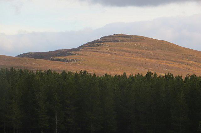 Photo could not load
NH8107 : An Suidhe
Richard Webb
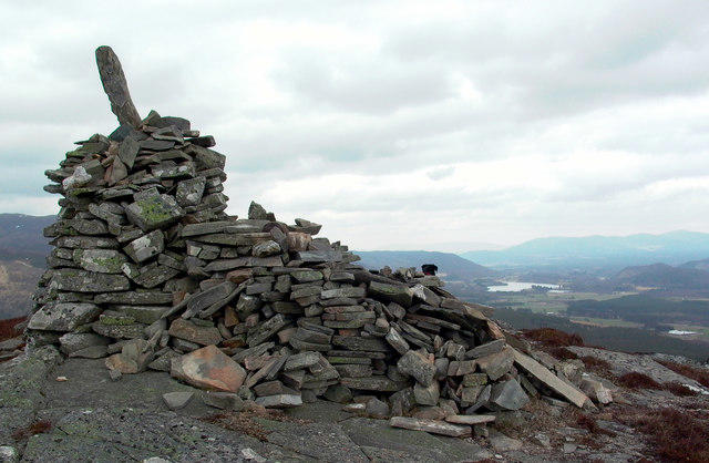 Photo could not load
NH8107 : An Suidhe - Badenoch
John S Ross
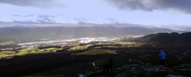 Photo could not load
NH8107 : The Insh Marshes
John S Ross
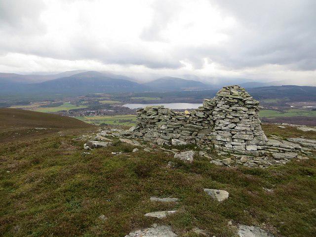 Photo could not load
NH8107 : An Suidhe
Richard Webb
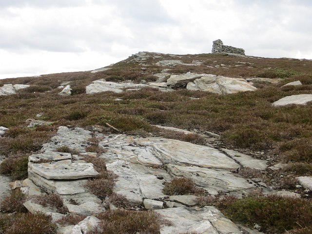 Photo could not load
NH8107 : Summit, An Suidhe
Richard Webb
Hill facts and local notes
Classifications
Elevation
541m
1,775 ft
Prominence
125m
Coordinates
57.1393, -3.9623
NH813070
OS Map
35
Explorer: OL56 402
At the Summit
The summit is marked by a prominent stone cairn which, if tall enough, can double as a makeshift lookout spot—though we recommend against hosting a tea party!
Terrain & Geology
An Suidhe is primarily composed of schist and granite, offering a rugged landscape dotted with glacial features and boulders that have been left to tell the tale of the last Ice Age.
Views & Scenery
Panoramic views of Loch Lomond and the surrounding hills, as well as distant peaks that seem to dance on the horizon.
History & Heritage
Name Origin
The name 'An Suidhe' translates to 'the seat', possibly referring to its prominent summit, which makes a perfect seat for taking in the stunning views.
Historical Significance
An Suidhe has long been a favoured spot for both locals and visitors alike, steeped in folklore concerning the spirits said to reside in the nearby glens.
Getting There & Facilities
Check current local access restrictions, parking rules and transport timetables before travelling. These notes do not confirm public access to the summit.
Parking
Parking is available at the Inverarnan Hotel, which provides a great opportunity to fuel up with a bite before the climb.
Public Transport
Regular bus services operate from wider locales, with the nearest bus stop in the village of Beinglas.
Nearby Facilities
Nearby facilities include the Inverarnan Hotel, which serves meals and refreshments; public toilets are available here too.
Safety Information
Known Hazards
- Variable weather conditions that can change rapidly; be sure to carry the proper gear. Boggy ground can be tricky, so be mindful of your footing!
General Safety Tips
- Check weather conditions before setting out
- Carry appropriate clothing and equipment
- Let someone know your planned route
- Take a map, compass, and GPS device
- Carry emergency supplies: food, water, first aid kit, torch
Hills
Some common questions about the hills answered
Are there group walks up An Suidhe?
Many walkers use Walkmates to join or organise walks with others. You can check for group walks around An Suidhe through the maps
Are there other walkers around An Suidhe?
Activity varies by location and time, but Walkmates lets you see whether others have shared walks or shown interest in this area. Find other people through the walking friends search walking friends for An Suidhe search or of course create your own walk for An Suidhe
Can I organise a walk to An Suidhe?
Yes. If there aren’t any walks listed already, you can create a walk and make it available for others to join.
If you're signed up to Walkmates, you can create a walk to An Suidhe.
How do I find a walk up this hill?
There are often multiple ways to walk this hill, depending on experience and route preference. Walkmates helps you explore walks and routes that others have shared.
Can I suggest a new route up An Suidhe?
Yes. You can suggest or create routes to share with others. Walkmates focuses on the social side of walking, so routes are used to help people organise walks and explore areas together, rather than as detailed navigation tools or route libraries.
Other uses really appreciate knowledgeable walkers sharing their routes. Share your favourite route to An Suidhe here
The is an error or something incorrect about this hill. How do I let you know?
We always strive to keep the information on Walkmates as accurate as possible. If you find an error, please let us know through the contact form and we'll aim to correct it as quickly as possible
Community Discussion
Comments
Location
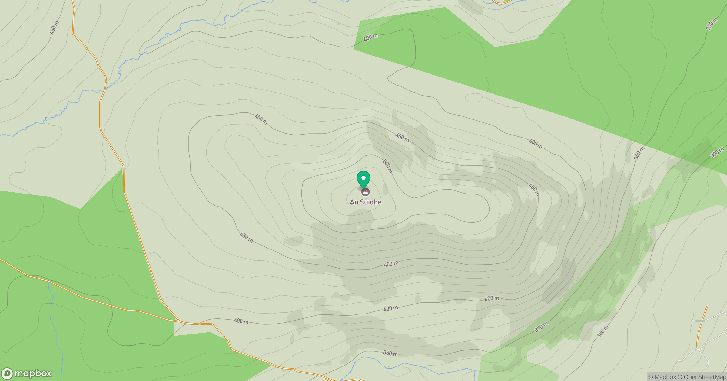
Grid reference: NH813070
View on OpenStreetMapOpens a map in a new tab, centred on the hill.
Hills within 30 km
Straight-line distance, not a walking route or confirmation of access.
Sgor Gaoith
1,116m
Braeriach
1,296m
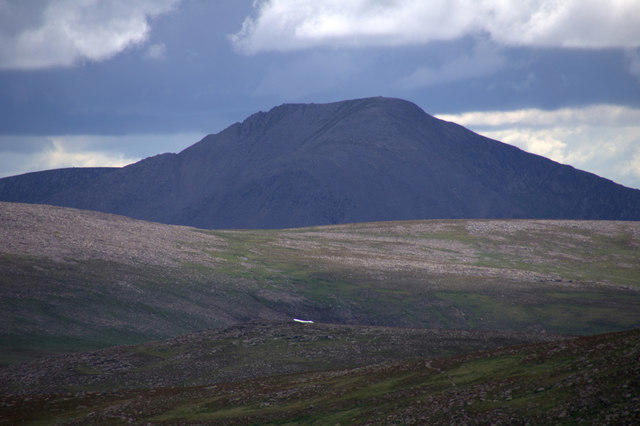
Cairn Toul
1,292m
Binnein Mor
550m
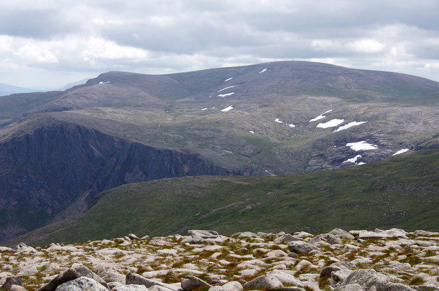
Ben Macdui [Beinn Macduibh]
1,309m
No comments yet. Be the first.