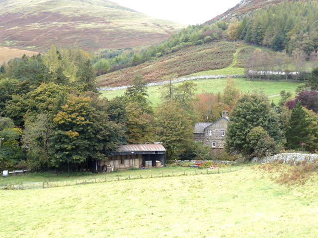
The walk starts in the upper Linhope valley, following the lower road and track approach before climbing onto exposed upland ground. Allow around 6 hours 30 minutes of walking, plus stops; this is an estimate, not a guaranteed completion time.
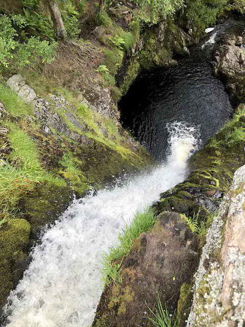
The plotted route does not visit Linhope Spout. Any separate waterfall visit requires its own current access and route assessment; do not follow an unplotted shortcut towards the falls.
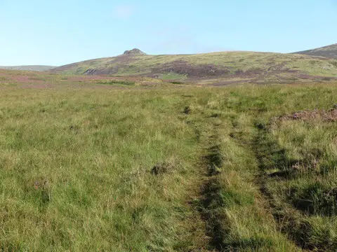
On the open Linhope approach, look towards Great Standrop in clear conditions. Its rocky tor is part of the Cheviot landscape shaped by the weathering and erosion of granitic rock. This is a distant landform interpretation on the way to Hedgehope, not a visit to the tor or an opportunity to examine its granite closely. Weather and vegetation may limit the view.
Beyond this point, the valley opens out and the walking becomes more upland in character. The path fades into rough grass and heather, with fewer clear features on the ground. Height is gained steadily rather than abruptly, but the effort accumulates. Navigation is generally not bad in clear conditions, helped by fences and broad slopes, though it feels exposed once you leave the valley behind. Even so, this is a long distance walk over paths that are not always obvious. Map and compass skills should be expected.
The climb onto Hedgehope Hill is sustained and can feel long, especially in wind or poor weather. Underfoot conditions vary between firm grass and softer ground, with occasional boggy sections. Allow for a sustained ascent and take care on wet or uneven ground.
The summit is broad and open, marked by a cairn. Views extend across the Cheviots and into the surrounding valleys, particularly on a clear day within Northumberland National Park. It is a good place for a short stop rather than a long linger if conditions are cold or windy.
The return follows the same line. Descend carefully on rough or slippery ground.
Overall, this is a solid Cheviot hill walk. It is simple in shape, physically demanding in places, and best approached with respect for weather and distance rather than treated as a casual outing.
Access and conditions: official access information records a dog restriction affecting this area. Plan this walk without a pet dog unless current official guidance expressly permits your route; check the relevant assistance-dog provisions separately. Follow current access signs. A lead alone does not establish permission where dogs are excluded.
Take care around traffic on the shared road and farm-track approach. Use existing paths and gates. Minor watercourses cross the upper approach; turn back if water, damaged crossing points or other conditions make passage unsafe. Do not climb a fence or improvise a stream crossing to stay on the plotted line. The start pin marks a walking location, not permission to park or drive on estate tracks; check current arrival and parking signs.
Sources: Northumberland National Park Linhope leaflet (named Great Standrop views): https://www.northumberlandnationalpark.org.uk/wp-content/uploads/2017/06/Linhope-Spout-Walk.pdf
JNCC Cheviot tors geological review: https://data.jncc.gov.uk/data/903fd1b7-ebe2-45b8-a69e-8f37934c5560/gcr-v25-quaternary-northern-england-c7.pdf
Official open-access guidance: https://www.gov.uk/right-of-way-open-access-land/use-your-right-to-roam
Mapped-path comparison: © OpenStreetMap contributors, ODbL1.0, https://www.openstreetmap.org/copyright . This desk review is not a field survey; the existing route geometry is unchanged.