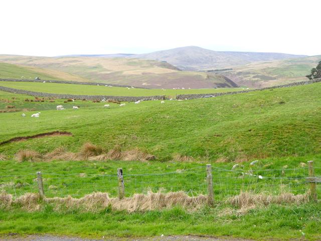
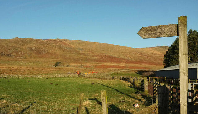
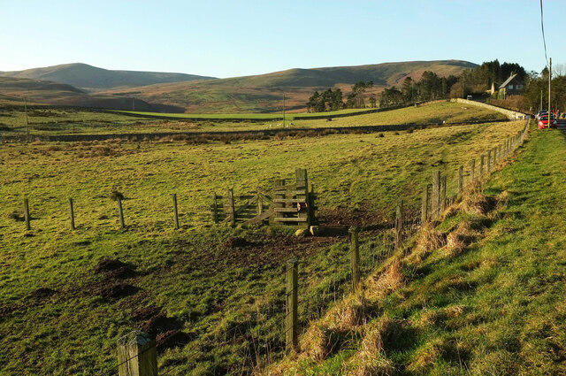
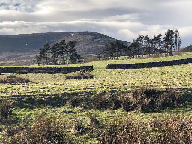
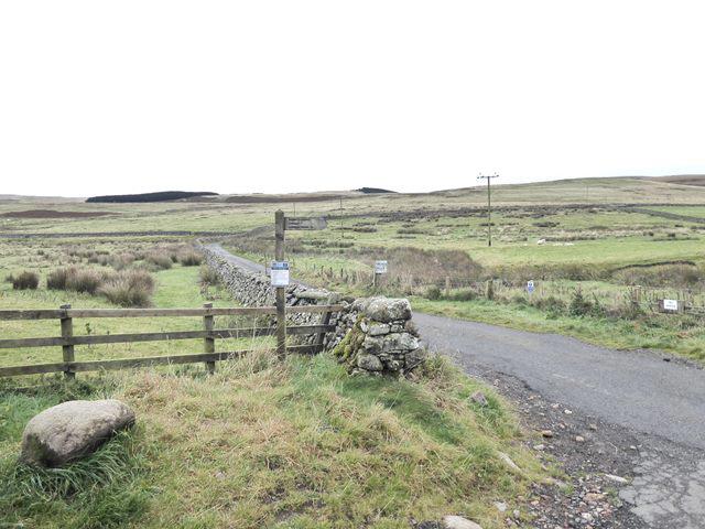
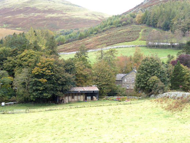
Image shared for Linhope Rig Ju88 crash site from Hartside
Upland / Hill Out & back

Linhope Rig Ju88 crash site from Hartside

Northumberland

Distance
5.1 mi
Est. time
4h
Difficulty
Hard
PaulWalkmates Route by PaulWalkmates

About this walk

A quiet Cheviot walk to the actual crash site of a German Junkers Ju88 on Linhope Rig. The outward route climbs above Linhope and follows the rough moorland track past Rig Cairn before a short crossing of open ground to the crash-site plaque. Return by the same route. Allow around four hours, including time at the site; soft ground and a search for the small plaque can make it longer.

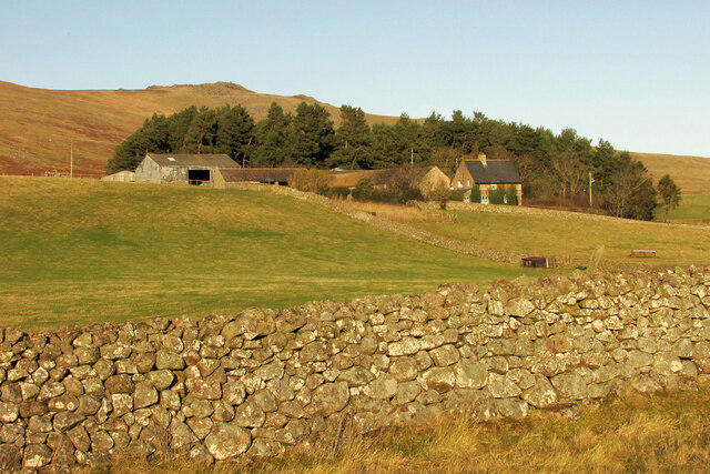
Start on the grass verge at Hartside, on the left before the Alnhammoor track when arriving up the Breamish valley from Ingram. Keep gates, the track entrance and passing places clear. The road beyond Hartside is restricted to authorised vehicles, so continue on foot to Linhope. There is no visitor parking at the hamlet.

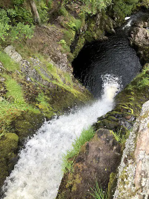
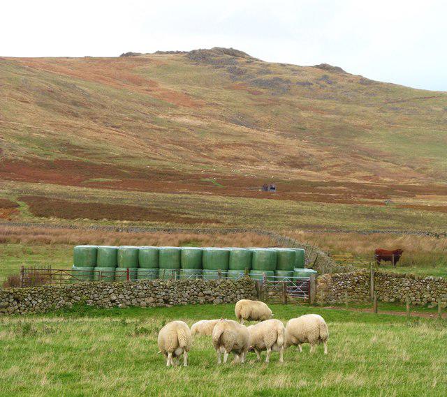
Cross the bridge over Linhope Burn. Turn left, then take the small gate on the right and the track up the east side of Ritto Hill. Keep on the rising track at the Linhope Spout turn; this route does not visit the waterfall. Follow the westbound moor track through the gates and around the north side of Ritto Hill towards Rig Cairn. At the track forks keep to the plotted line, taking the left gate and then the westward spur. The worn track on the ground bends away from the straight line shown on some maps.

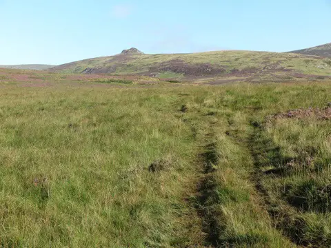
Continue west beyond Rig Cairn. At NT94121 16739 leave the track and walk roughly 90 metres north over the broad grassy slope to the plaque at NT94121 16830. This is open moor, with no continuous path for the final approach. The plaque stands at the crash site, rather than at a roadside memorial. Impact scars and small remains have been recorded here, although vegetation and weather affect what can be seen. Leave all wreckage and the memorial undisturbed.

The aircraft was Ju88A-14 Wnr144354, marked 3E+BH, lost in March 1943 after a raid on Edinburgh. Its four crew, Friedrich Lang, Walter Schulz, Karl Kleih and Werner Fiedler, died and were buried at Chevington. The original plaque was placed here in 2013; a replacement in 2022 corrected Karl Kleih's name. The Imperial War Museums record supplies the precise crash-site location, and Alan Clark's Peak District Air Crashes account describes the impact scars and surviving material.

This is a hill walk with rough heath, wet patches and several indistinct track junctions. Carry an offline map and compass and know how to use them. The small site can be difficult to find in mist, and there is no shelter on the upper part. It does not require a summit ascent or scrambling. Retrace the approach through Linhope to Hartside.

The upland access land currently has a no-dogs restriction, except for guide, hearing and assistance dogs. Check the live Natural England access map and any on-site notices before setting out; grouse-management restrictions can change. Route and access checks also use Northumberland National Park's Hartside and Linhope guidance and Northumberland County Council's public rights of way map. History: memorials.iwm.org.uk/memorial/96121 and peakdistrictaircrashes.co.uk/crash_sites/pennines/ju88-144354-linhope-rigg/.

Walk details

Walk type
Out & back
Category
Upland / Hill
Distance
5.1 mi (8.2 km)
Est. time
4h
Explorer
Yes, off the beaten track

Route map

Use the route details to plan your walk

If the map image does not load, the route description and starting-point details are still on this page.

The interactive map will load when you reach this section.

Where to start

Directions to start

Walking on your own?

Start when you're ready and add the walk to your history. No group date needed.

This walk is waiting for a date

Not ready to pick a date? Follow it and you'll hear when somebody else does.

No commitment. You can follow it now and pick a date later.

Joining a walk

A few things to know before you make plans.

Can I join if no one else is going?

You can be the first to join a scheduled walk. A suggested date is an idea for a group walk; choose Set this date up to organise it. Check the participant list and meeting details before setting off.

What if there is no date yet?

Choose Put a date on this walk to organise a group walk. Not ready to choose a day? Follow the route for scheduling updates, or save it for later.

What does the organiser do?

The organiser sets the date and meeting details and helps the group get started. They are a fellow walker and may be new to the route too.

Each walker is responsible for their own safety and navigation. Check the route, weather, equipment and whether the walk suits your experience and fitness.

Can I walk this route on my own?

Yes. Choose Walk this route on your own to open the start screen, then start when you are ready. Finish the walk to add it to your walking history. You do not need a group date.

What happens after I join?

Use the walk page to check meeting details, updates and who is going. Check in from 24 hours before the start to let the group know you still plan to come.

How do I confirm plans with the group?

Check the participant list and check-ins, and message the organiser or other walkers to confirm where to meet and who is coming. This is especially useful when the group is small.