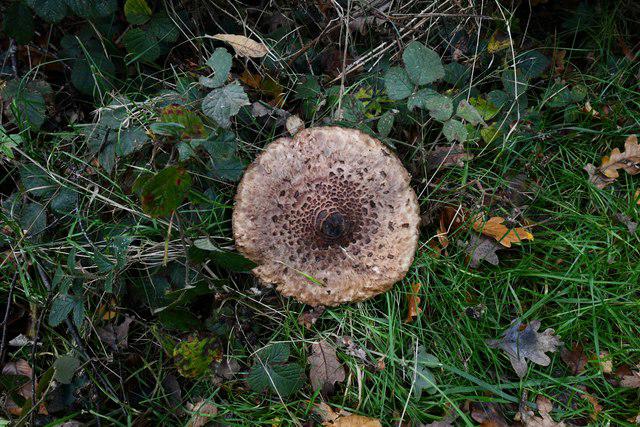
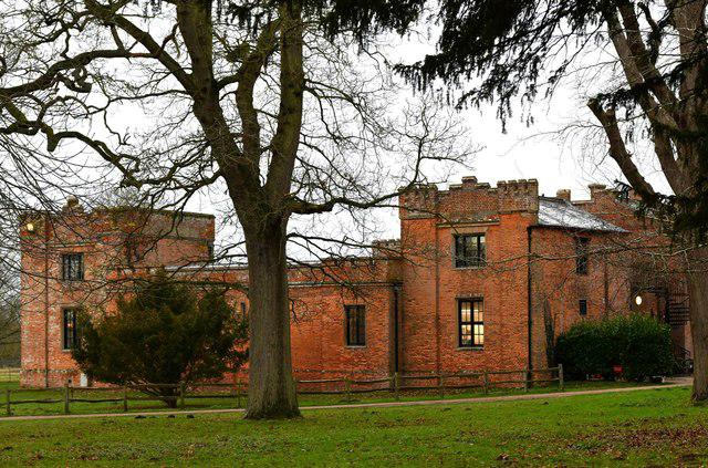
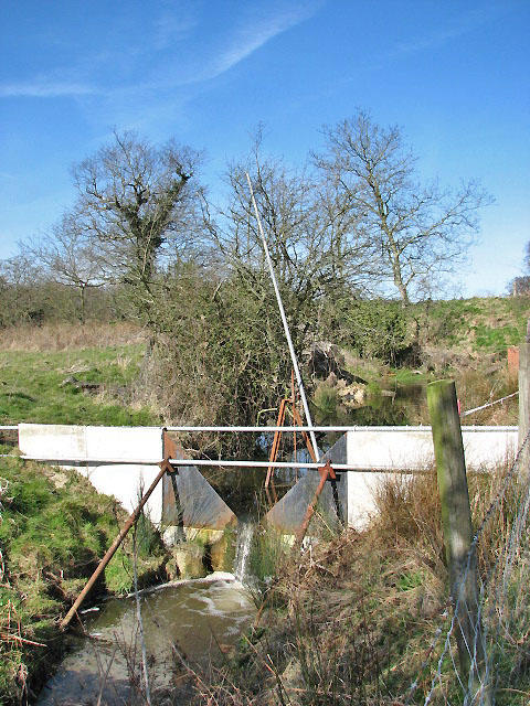
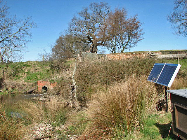
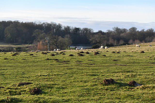
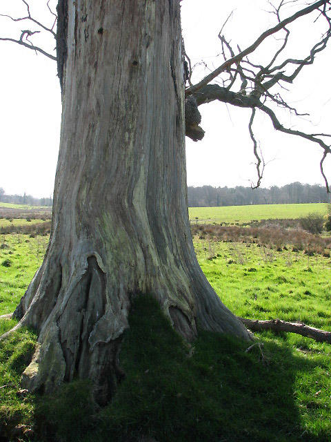
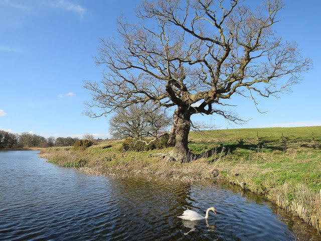
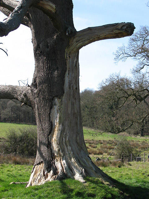
Image shared for Felbrigg Great Wood and eastern parkland circuit
Park / Green space Circular

Felbrigg Great Wood and eastern parkland circuit

Norfolk

Distance
3.8 mi
Est. time
2h 30m
Difficulty
Medium
PaulWalkmates Route by PaulWalkmates

About this walk

Start at the map boards in Felbrigg Hall’s main visitor car park, near Cromer. This longer estate circuit links the northern Great Wood paths with the lake and the eastern farmland perimeter. Head past the outside of the walled garden and climb the eastern Victory V avenue into Great Wood. Continue around the northern woodland loop, then follow the western estate path down towards the lake. From the southern end of the lake, take the track along the field edge to Marble Hill, turn north on the eastern boundary path and return by the visitor drive to the main car park. The mapped route is about 6.2km; allow around 2 hours 30 minutes for the woodland slopes, uneven paths and pauses by the lake. This circuit includes northern woodland and the southeastern farmland perimeter rather than the shorter church and lake walk. Gravel tracks alternate with grass and compacted-earth paths, with roots, gates and muddy patches after rain. The lake is deep: stay on the path. Close gates and give grazing animals space. Keep dogs on leads in designated areas and throughout the estate from 1 March to 31 July. The return uses a slow visitor drive, so watch for cars. Estate access is free and the park is open dawn to dusk. Main parking costs £5 for non-members; National Trust members park free after checking in. Toilets and the Squire’s Pantry tea-room are near the hall, with seasonal opening hours. House and garden visits have separate admission. Check current notices and on-site signs before setting out. Route and access checked against the National Trust’s current Felbrigg visitor map and estate information: https://www.nationaltrust.org.uk/visit/norfolk/felbrigg-hall-gardens-and-estate

Walk details

County
Norfolk
Walk type
Circular
Category
Park / Green space
Distance
3.8 mi (6.2 km)
Est. time
2h 30m
Explorer
Yes, off the beaten track

Route map

Use the route details to plan your walk

If the map image does not load, the route description and starting-point details are still on this page.

The interactive map will load when you reach this section.

Where to start

Directions to start

Walking on your own?

Start when you're ready and add the walk to your history. No group date needed.

This walk is waiting for a date

Not ready to pick a date? Follow it and you'll hear when somebody else does.

No commitment. You can follow it now and pick a date later.

Joining a walk

A few things to know before you make plans.

Can I join if no one else is going?

You can be the first to join a scheduled walk. A suggested date is an idea for a group walk; choose Set this date up to organise it. Check the participant list and meeting details before setting off.

What if there is no date yet?

Choose Put a date on this walk to organise a group walk. Not ready to choose a day? Follow the route for scheduling updates, or save it for later.

What does the organiser do?

The organiser sets the date and meeting details and helps the group get started. They are a fellow walker and may be new to the route too.

Each walker is responsible for their own safety and navigation. Check the route, weather, equipment and whether the walk suits your experience and fitness.

Can I walk this route on my own?

Yes. Choose Walk this route on your own to open the start screen, then start when you are ready. Finish the walk to add it to your walking history. You do not need a group date.

What happens after I join?

Use the walk page to check meeting details, updates and who is going. Check in from 24 hours before the start to let the group know you still plan to come.

How do I confirm plans with the group?

Check the participant list and check-ins, and message the organiser or other walkers to confirm where to meet and who is coming. This is especially useful when the group is small.