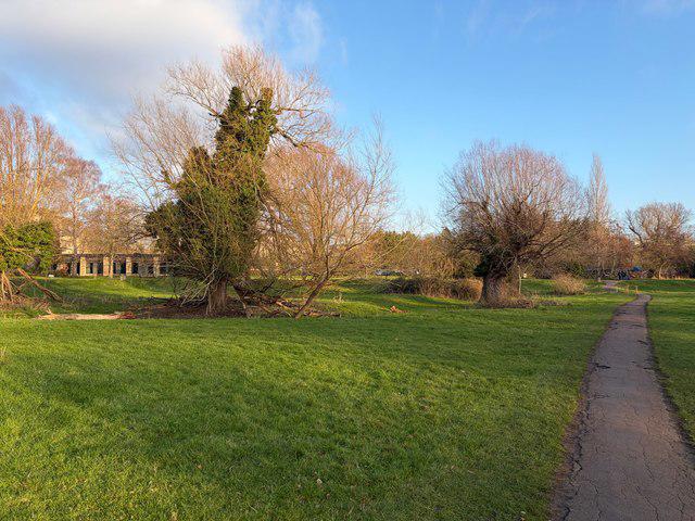
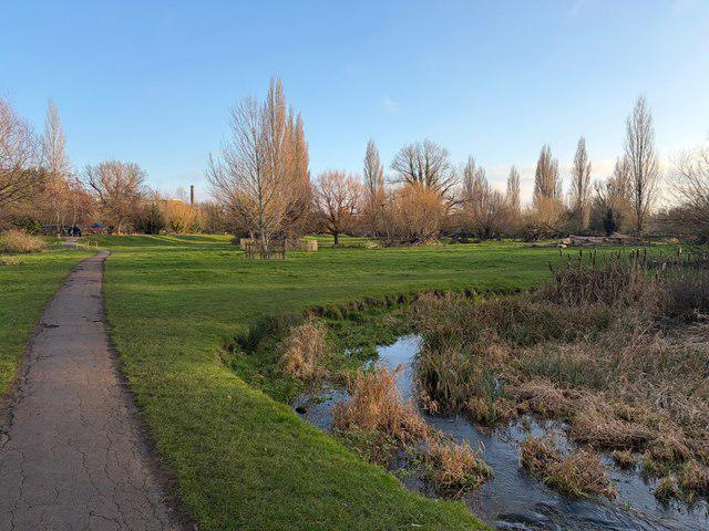
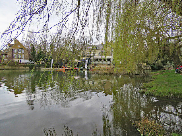
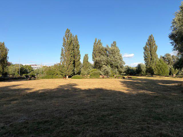
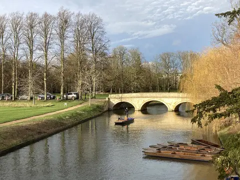
Image shared for Cambridge Mill Pond and Grantchester Meadows
Canal / Riverside Circular

Cambridge Mill Pond and Grantchester Meadows

Walk

Cambridgeshire

Distance
4.4 mi
Est. time
2h 15m
Difficulty
Easy
PaulWalkmates Route by PaulWalkmates

Save the route to find it later. Follow it to hear when a date is added.

About this walk

A circuit from Cambridge’s Lammas Land to Grantchester, combining the Cam’s grazing meadows, Paradise’s wet woodland and the village’s old lanes with a short visit to the city Mill Pond. Allow about 2 hours 15 minutes at a relaxed pace, plus any longer tea or pub stop.

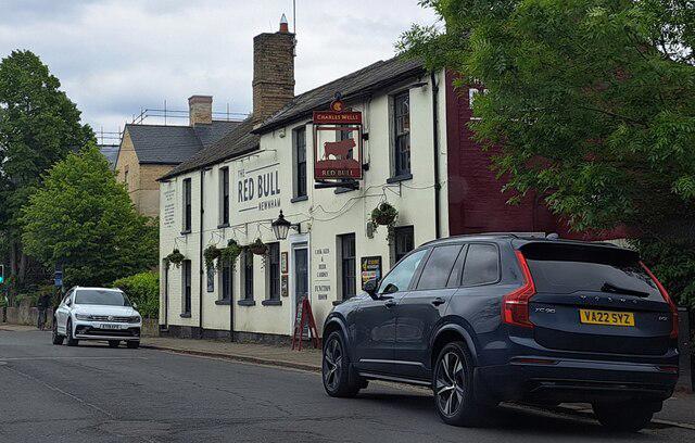
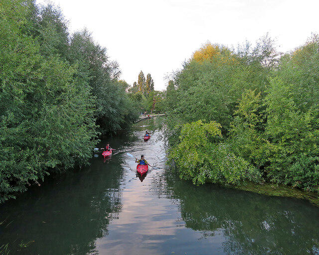
Start at the entrance to Lammas Land public car park on Driftway. Take the riverside woodland path south through Paradise nature reserve, then leave via Owlstone Road and follow Grantchester Meadows street to the shared surfaced path. At the meadow junction, take the riverside public footpath south, staying on the west bank of the Cam. The path winds through pasture and crosses small wooden bridges. Near Grantchester, turn west onto the public footpath leading to Spring Lane, then follow Mill Way and High Street past the Orchard Tea Garden entrance. The cafe and village pubs are optional stops, with their own opening hours.

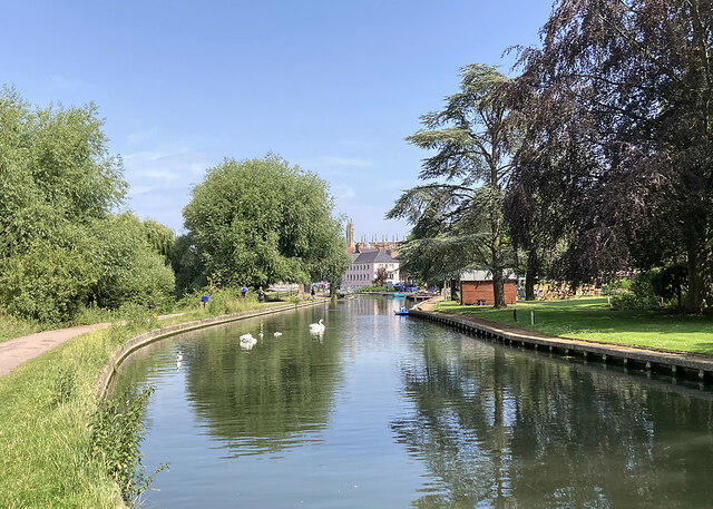
Return north on the direct tarmac footpath through the meadows. Follow Grantchester Meadows, Eltisley Avenue and Grantchester Street to Driftway. Continue past the car park onto the public path towards Sheep’s Green, turn north and use the signal crossing at Fen Causeway. Follow the path to the Mill Pond and its public footbridge for views of the city river, then retrace this short section to the car park.

The route is mostly level, with tarmac, woodland paths and unsurfaced riverbank sections. Expect mud and slippery bridge surfaces after rain; the riverside meadows can flood, so postpone this circuit if the path is submerged. Some river edges are unguarded. Cattle graze April to October; keep dogs under close control and carry a lead. Under Cambridge City Council rules, dogs must be on leads in Paradise nature reserve from 1 March to 31 July; assistance dogs are exempt. Parts of the path are shared with cyclists, and local streets and the signal crossing require care. This is not an all-weather step-free route.

Lammas Land has public toilets and a cafe. Parking is charged, with an 8-hour weekday limit and 5-hour weekend limit. The barrier closes at 10pm April to October and 9pm November to March; check the displayed tariff and return before closing.

Route and access information checked against Visit Cambridge, Cambridge City Council’s park and parking pages, the county rights-of-way map and Cambridge Past, Present & Future’s Grantchester Meadows visitor information. Check current notices before setting out.

Walk details

Walk type
Circular
Category
Canal / Riverside
Distance
4.4 mi (7.1 km)
Est. time
2h 15m
Explorer
Yes, off the beaten track

Route map

Use the route details to plan your walk

If the map image does not load, the route description and starting-point details are still on this page.

The interactive map will load when you reach this section.

Where to start

Directions to start

Walking on your own?

Start when you're ready and add the walk to your history. No group date needed.

Make this route part of your day

For walkers

Saving and preparing a route

Watch: portrait video or landscape video.

Saving and preparing a route

Read the steps
  1. Open a route and read the practical notes.
  2. Save it to your Saved Walks, then open it again from there.
  3. Check the route map and elevation profile before setting off. Reopen the details on the day.

Saved Walks needs an account. Reopening the website needs a connection; check access, weather and your own navigation before you go.

See how to plan a walk with others

This walk is waiting for a date

Not ready to pick a date? Follow it and you'll hear when somebody else does.

No commitment. You can follow it now and pick a date later.

Along the route

12 places
Crofters
Cafe · 0.0 mi along
Toilets
Essentials · 0.0 mi along
Parking
Essentials · 0.6 mi along
Parking
Essentials · 0.6 mi along
Information
Navigation · 2.0 mi along
Information
Navigation · 2.0 mi along
Guidepost
Navigation · 2.0 mi along
Guidepost
Navigation · 2.1 mi along
Flux Coffee
Cafe · 3.4 mi along
Information
Navigation · 3.4 mi along
The Co-operative Food
Shop · 3.5 mi along
Millworks
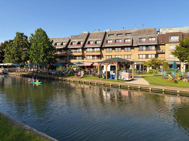
Restaurant · 4.0 mi along

Terms of Service

Joining a walk

A few things to know before you make plans.

Can I join if no one else is going?

You can be the first to join a scheduled walk. A suggested date is an idea for a group walk; choose Set this date up to organise it. Check the participant list and meeting details before setting off.

What if there is no date yet?

Choose Put a date on this walk to organise a group walk. Not ready to choose a day? Follow the route for scheduling updates, or save it for later.

What does the organiser do?

The organiser sets the date and meeting details and helps the group get started. They are a fellow walker and may be new to the route too.

Each walker is responsible for their own safety and navigation. Check the route, weather, equipment and whether the walk suits your experience and fitness.

Can I walk this route on my own?

Yes. Choose Walk this route on your own to open the start screen, then start when you are ready. Finish the walk to add it to your walking history. You do not need a group date.

What happens after I join?

Use the walk page to check meeting details, updates and who is going. Check in from 24 hours before the start to let the group know you still plan to come.

How do I confirm plans with the group?

Check the participant list and check-ins, and message the organiser or other walkers to confirm where to meet and who is coming. This is especially useful when the group is small.