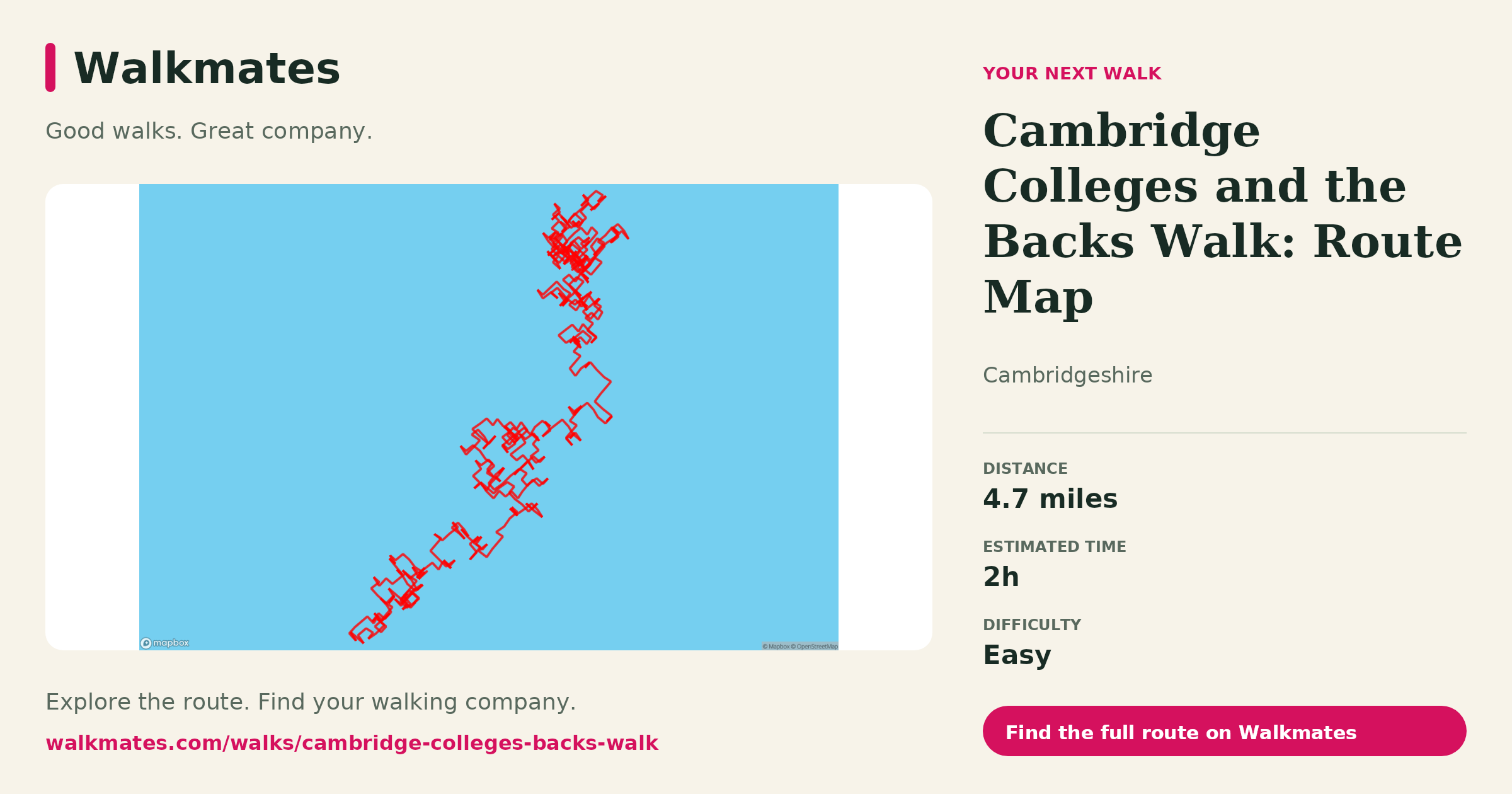
Explore Cambridge's colleges and the Backs on a 4.7-mile route. Use the map to plan your walk and check college entry rules before visiting.
Distance and time
The mapped route on this page is approximately 7.6 km (4.7 miles), with a two-hour walking estimate. Allow longer if you stop to look around, take photographs or visit a college. Follow this route map rather than assuming it is a shorter four-kilometre stroll.
The colleges and River Cam
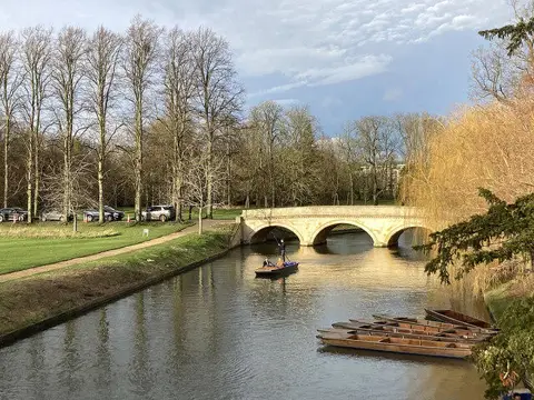
The walk explores the historic centre of Cambridge and the Backs, the riverside area behind the colleges. King's, Trinity, Clare and St John's are among the colleges described along the route, with views of the River Cam and its bridges.
College grounds are not all public paths. Check each college's visitor arrangements before entering, respect gates and signs, and use public alternatives if a section is closed. College admission and activities such as punting are separate from the walk.
For St John's, use the college's official visitor information to check current access arrangements.
Plan a walk that suits you
Check the map for your starting point and compare the distance with your usual walking pace. Do not assume every surface or college entrance is suitable for every mobility need; check access before you visit.
Want company? Find walking friends and agree on the route, pace and stops before meeting.