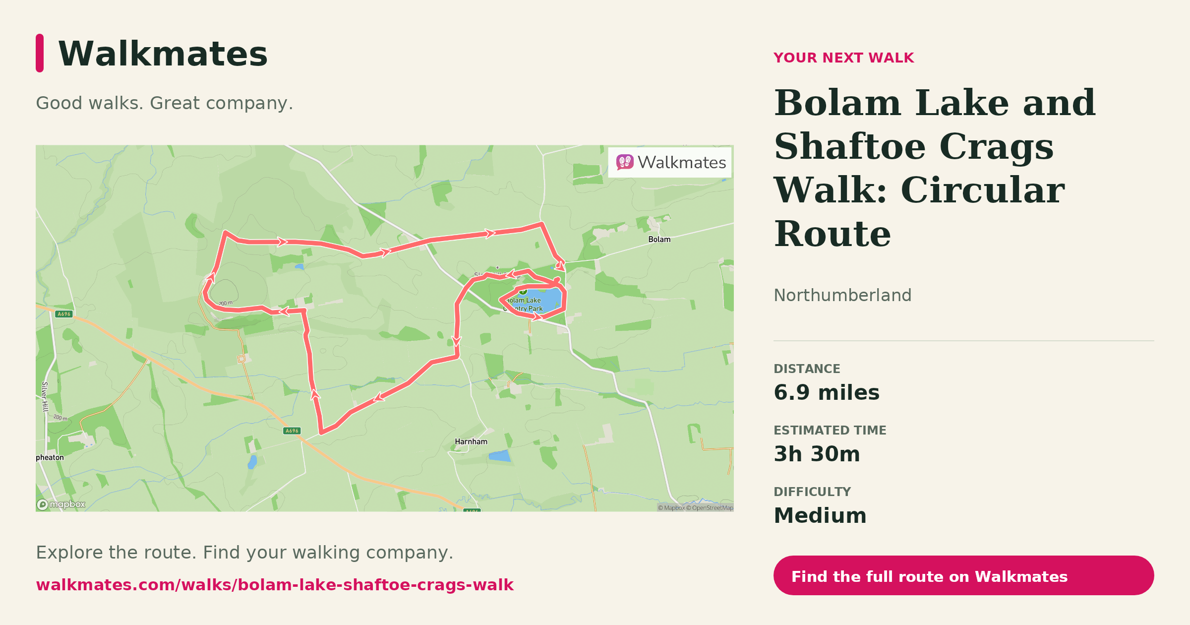
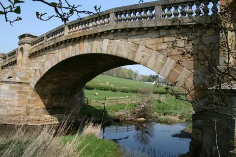
Walk from Bolam Lake to Shaftoe Crags on a 6.9-mile circular route. See the map and photos, with woodland, road sections and open views along the way.
Distance and time
This mapped circuit is approximately 11.2 km (6.9 miles), with an estimated walking time of three and a half hours. Allow longer for breaks and photographs. Check the route map before setting off; the full walk goes beyond the paths around Bolam Lake.
Lake, lanes and crags
The route begins around Bolam Lake, where woodland paths follow the water. It then uses lanes and tracks to link the lake with Shaftoe Crags. There is some road walking between the two sections, so stay alert to traffic.
Shaftoe Crags change the character of the walk, with a climb towards the sandstone rocks and wider countryside views. In clear weather, views extend towards the Cheviots. Check conditions and take care around the crags.
At Shaftoe, the route enters a landscape of coarse sandstone outcrops. The British Geological Survey identifies these rocks as the Shaftoe Grits: ancient channel deposits containing rounded quartz pebbles and visible bedding. Enjoy the formations from the walking route and keep clear of steep edges. This circuit visits the crag area, but does not take you directly to the Devil’s Punch Bowl or the Tailor and his Man boulder.
Plan your outing
Choose footwear for woodland paths and open ground, and check the forecast before you leave. If walking with a group, agree on the full distance and pace rather than treating this as a short lap of the lake.
Explore more Northumberland walks or find walking friends to join you.
Parking and access at Bolam Lake
Check the council's Bolam Lake visitor information before travelling. The park's car parks are locked at dusk; read the closing-time signs and current parking charges. The council lists no direct public transport to the park. Toilets and the cafe are at Boathouse Wood, with opening times to check separately.
The shorter accessible path around the lake does not establish accessibility of this entire 11.2 km route. Keep dogs under control around wildlife and livestock, and allow enough time to return before the car park closes. The Shaftoe Crags guide gives more background on the sandstone outcrops.
On open-access land, keep dogs on a lead no longer than 2 metres from 1 March to 31 July and whenever livestock are nearby; follow any local notices. See the government access guidance. Geological background: British Geological Survey. Route mapping is not a field survey. Map data © OpenStreetMap contributors, ODbL 1.0.