
Yewbarrow
Good walks are even better shared.
Overview
Yewbarrow
Yewbarrow stands proudly at 628 meters (2,060 feet) and is a prominent feature of the Lake District landscape. This charming peak, classified as a Hewitt and Marilyn, draws hikers for its rewarding views and challenging routes.
Geology
Yewbarrow's formation speaks to the tumultuous geological history of the Lake District, primarily composed of volcanic rock and slate. This distinctive geology provides a rich story of ancient landscapes shaped by volcanic activity. The distinctive rocky outcrops can make you feel like you've stepped back in time, possibly into a scene from a prehistoric epoch.
Routes
Hikers commonly approach Yewbarrow via the Yewbarrow Ridge Route, a circular trek from Wasdale Head that covers approximately 10 km and takes around 4.5 hours. This route is both picturesque and demanding, making it a favourite among experienced walkers. For those looking for a less strenuous ascent, the Slopes Route is a moderate option that will get you to the top in about 3 hours.
Summit Features
Atop Yewbarrow, you'll find a substantial stone cairn that serves as a tribute to those who've tread before you. The summit not only offers stunning vistas but a bit of rock scrambling too, giving that extra thrill to your climb. Bring your camera, as the views are truly Instagram-worthy!
Terrain and Views
The terrain ranges from rocky outcrops to grassy slopes, with some steep, challenging sections that will test your footing. The summit rewards climbers with spectacular views of Scafell Pike, Great Gable, and the enchanting Wasdale Valley.
Best Seasons
Spring and Autumn provide the best views, with vibrant colours stretching across the landscape. Early risers may be treated to ethereal mist curling around the valleys beneath a sunrise – perfect for that Instagram morning glory.
Hazards
While Yewbarrow is a wonderful mountain to explore, hikers should be aware of its steep and sometimes slippery sections, especially in wet weather. Ensuring you’re properly equipped with good hiking boots is essential for safety.
Nearby Summits
Yewbarrow is surrounded by giants: the imposing Scafell Pike at 978 meters and the stately Great Gable at 899 meters. If you're up for a challenge, why not add these to your itinerary?
Access
The nearest parking is at Wasdale Head Car Park, which fills quickly, so arrive early! There’s infrequent public transport servicing this area; consider carpooling or checking local shuttle options from Keswick, the nearest town and an excellent base for exploring the Lake District.
Facilities
Though Yewbarrow itself has no facilities, the nearby Wasdale Head offers a delightful pub. If you need more caffeine or sustenance, Keswick is your destination for cafes, shops, and toilets.
History
Yewbarrow's name hints at its storied past, possibly deriving from Old Norse, suggesting the historical significance of this area as a navigation point for ancient peoples. Today, it continues to captivate hikers with its majestic presence.
So, pack your lunch, lace up your boots, and head out to Yewbarrow – where adventure awaits around every corner, and the views are always worth the climb! There's nothing quite like standing on a mountain top, taking in the view, and feeling on top of the world – even if you're just a little out of breath from the effort.
Explore routes near Yewbarrow
Walks starting near this hill. Open a route to check its map, distance and full itinerary.
Scafell Pike via Brown Tongue and Hollow Stones
View route
Scafell Pike from Seathwaite via the Corridor Route
View route
Steeple, Scoat Fell and Haycock from Ennerdale
View route
Bow Fell from Langdale
View route
Route planning notes
These notes describe possible approaches. Check a route's map and access information when planning your walk.
Yewbarrow Ridge Route
A popular circular route offering spectacular views, starting from a point near Wasdale Head.
The Slopes Route
A direct ascent from the Wasdale valley, following the grassy slopes towards the summit.
Make a day of it, together
Find someone to share the walk with, or organise a day out along a route you like.
Hill facts and local notes
Classifications
Elevation
629m
2,063 ft
Prominence
144m
Coordinates
54.4649, -3.2769
NY173084
OS Map
89 90
Explorer: OL6N
At the Summit
The summit is marked by a large stone cairn and offers stunning panoramic views. There's even a bit of a rock scramble if you're feeling frisky!
Terrain & Geology
Yewbarrow is primarily composed of volcanic rock and slate, characteristic of the Lake District's complex geological history. The rocky outcrops offer a glimpse into the area's ancient volcanic activity.
Views & Scenery
From the summit, hikers can enjoy breathtaking views of Scafell Pike, Great Gable, and the picturesque Wasdale Valley.
History & Heritage
Name Origin
The name 'Yewbarrow' is believed to derive from the Old Norse 'hjúgr', meaning hill or mound, possibly indicating its relationship with yew trees found in the area.
Historical Significance
Yewbarrow was a significant landmark for ancient peoples as a navigation point and remains a popular target for hikers drawn to its rugged beauty.
Getting There & Facilities
Parking
Wasdale Head Car Park, which accommodates a good number of vehicles but can fill up quickly during peak times.
Public Transport
The nearest bus service runs to Wasdale Head, but services are infrequent. Consider carpooling or checking local shuttle services.
Nearby Facilities
There are no facilities on Yewbarrow itself, but nearby Wasdale Head offers a pub, and the town of Keswick has cafes, shops, and public toilets.
Safety Information
Known Hazards
- Steep sections can be slippery in wet weather. Be cautious and wear appropriate footwear.
General Safety Tips
- Check weather conditions before setting out
- Carry appropriate clothing and equipment
- Let someone know your planned route
- Take a map, compass, and GPS device
- Carry emergency supplies: food, water, first aid kit, torch
Hills
Some common questions about the hills answered
Are there group walks up Yewbarrow?
Many walkers use Walkmates to join or organise walks with others. You can check for group walks around Yewbarrow through the maps
Are there other walkers around Yewbarrow?
Activity varies by location and time, but Walkmates lets you see whether others have shared walks or shown interest in this area. Find other people through the walking friends search walking friends for Yewbarrow search or of course create your own walk for Yewbarrow
Can I organise a walk to Yewbarrow?
Yes. If there aren’t any walks listed already, you can create a walk and make it available for others to join.
If you're signed up to Walkmates, you can create a walk to Yewbarrow.
How do I find a walk up this hill?
There are often multiple ways to walk this hill, depending on experience and route preference. Walkmates helps you explore walks and routes that others have shared.
Can I suggest a new route up Yewbarrow?
Yes. You can suggest or create routes to share with others. Walkmates focuses on the social side of walking, so routes are used to help people organise walks and explore areas together, rather than as detailed navigation tools or route libraries.
Other uses really appreciate knowledgeable walkers sharing their routes. Share your favourite route to Yewbarrow here
The is an error or something incorrect about this hill. How do I let you know?
We always strive to keep the information on Walkmates as accurate as possible. If you find an error, please let us know through the contact form and we'll aim to correct it as quickly as possible
Community Discussion
Comments
Location
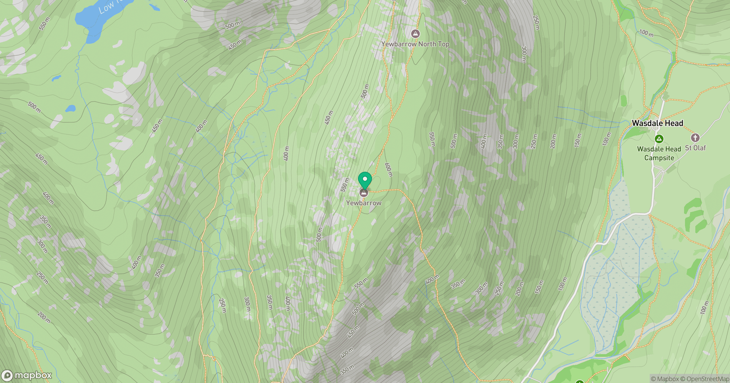
Grid reference: NY173084
View on OpenStreetMapOpens a map in a new tab, centred on the hill.
Nearby Hills
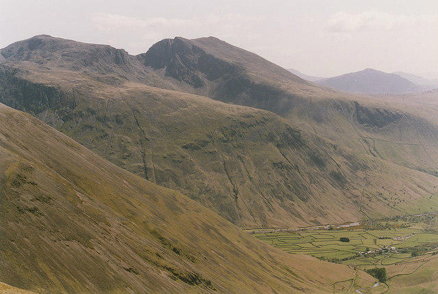
Pillar
892m
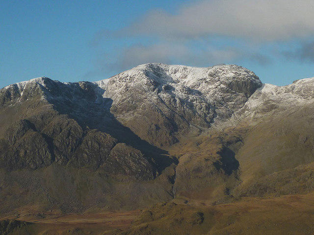
Scafell
964m
High Stile [Grey Crag - High Stile]
806m

Great Gable
899m
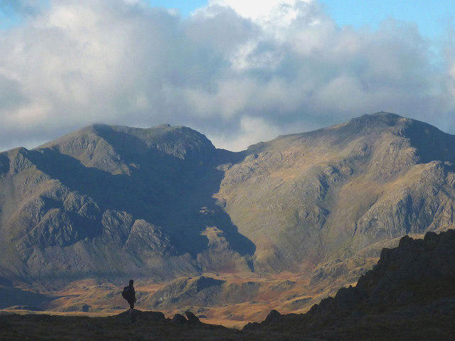
Scafell Pike
978m
No comments yet. Be the first.