

White Side
Good walks are even better shared.
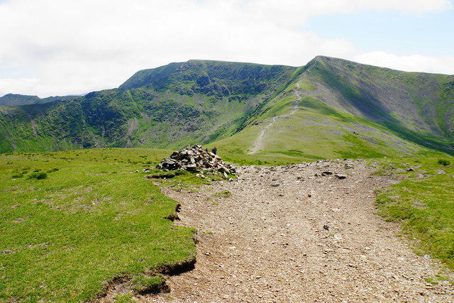
NY3316 : Path to Helvellyn
Bill Boaden Photo source
Overview
White Side: A Hiker's Delight
White Side is a charming summit nestled within the captivating Lake District, one of the UK's most cherished national parks. Its modest elevation of 2 metres might fool you, but oh, the views it offers!
Geology
The mountain’s geological composition is primarily volcanic, evidenced by the dramatic lava flows and ash deposits belonging to the Borrowdale Volcanic Group. The rocks here are more than just decorative; they tell the story of explosive volcanic activity that shaped this stunning landscape.
Routes
There are several popular routes to tackle White Side:
Watendlath to White Side - This moderate trail of 7.5 km is a scenic delight, taking you through lush valleys and offering a hearty climb to the summit. Give yourself around 3.5 hours, and don't forget to stop and smell the heather!
Sticks Pass - A challenging yet rewarding option at 6 km, leading you away from the crowds and providing a peaceful ascent. This route is perfect for those looking for a bit of solitude and will take about 2.5 hours.
Summit Features
Upon reaching the top, you’ll be welcomed by a modest cairn that appears to hold its own against the breathtaking backdrop. Look out for the resident ravens—they're known for their bold antics!
Terrain Type
Expect rocky terrain with some grassy patches mixed in, plus a bit of boggy thrills. A bit of adventure never hurt anyone, right?
Views
From the summit, breathtaking vistas of Helvellyn and the serene waters of Thirlmere stretch as far as the eye can see. The late spring and early autumn are particularly splendid times to visit, showcasing the rugged beauty of the area wrapped in vibrant colors.
Hazards
As always, tread cautiously! Slippery rocks and the unpredictability of British weather are part and parcel of the experience. Make sure to pack appropriately—no one likes a soggy sandwich!
Nearby Summits
Don’t forget to check out nearby peaks like Helvellyn (949 m) and Raise (883 m), both offering excellent hiking opportunities and views.
Access
Getting here is relatively easy. The nearest parking can be found at Watendlath, and public transport options are available from Keswick, albeit with limited frequencies. Make sure to double-check the bus times or else risk an extended coffee break at the café!
Facilities
If you find yourself needing a cuppa or a toilet break, you have the small café at Watendlath to rely on.
History
The name 'White Side' is said to reflect the light-coloured rocks that adorn its slopes. This area not only boasts incredible natural beauty but also a rich history of mountaineers and adventurers that have made their mark here.
So, dust off those hiking boots, pack some snacks, and get ready for an adventure on White Side. You might just find yourself wanting to come back for seconds!
Explore routes near White Side
Walks starting near this hill. Open a route to check its map, distance and full itinerary.
Helvellyn via Striding Edge
View route
Striding Edge, Helvellyn and Catstye Cam
View route
Derwentwater Walk: full lakeside circuit from Keswick
View route
Scafell Pike from Seathwaite via the Corridor Route
View route
Route planning notes
These notes describe possible approaches. Check a route's map and access information when planning your walk.
Watendlath to White Side
A scenic route from the charming hamlet of Watendlath, ascending through lush valleys and rocky terrain to the summit.
Sticks Pass
A less trodden path that starts near Thirlmere, offering solitude and stunning views as it winds up to the summit.
Make a day of it, together
Find someone to share the walk with, or organise a day out along a route you like.
Photo Gallery
View all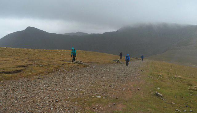 Photo could not load
NY3316 : Walkers approaching the summit of White Side
Anthony Parkes
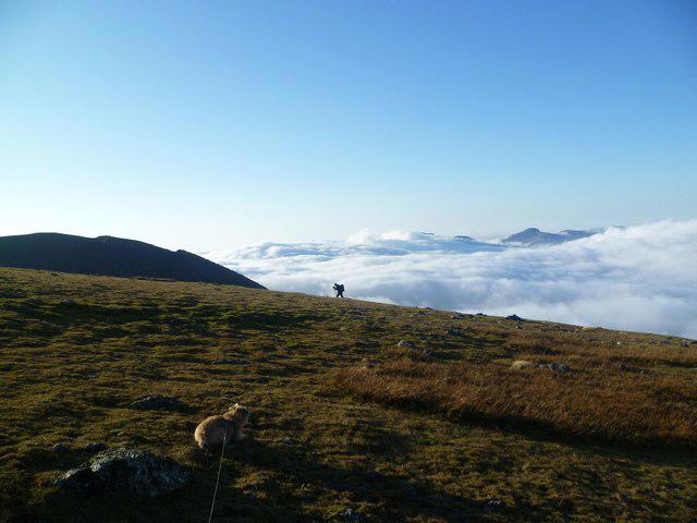 Photo could not load
NY3316 : Walker on White Side
Michael Graham
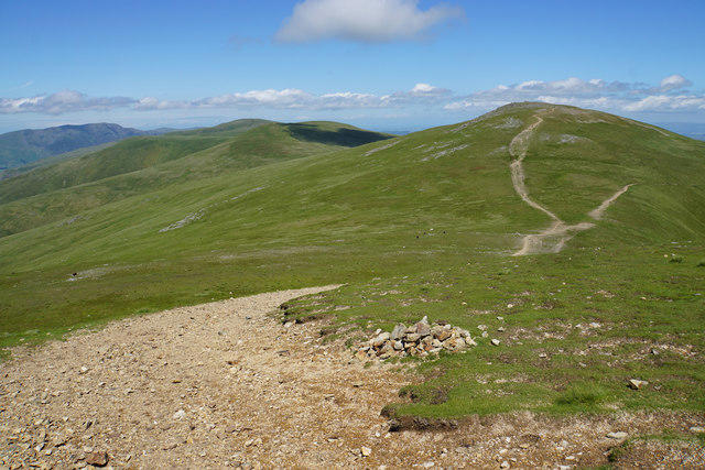 Photo could not load
NY3316 : Path to Raise
Bill Boaden
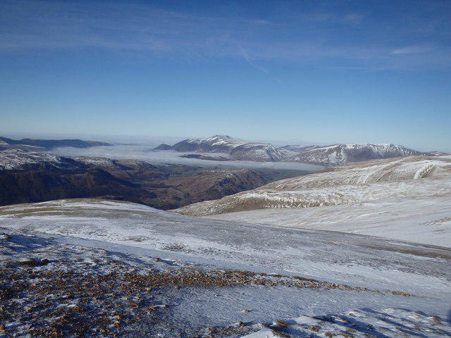 Photo could not load
NY3316 : On Whiteside
Michael Graham
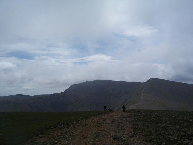 Photo could not load
NY3316 : Ridge path on Whiteside
Keith Rose
 Photo could not load
NY3316 : Low Cloud, Whiteside
Michael Graham
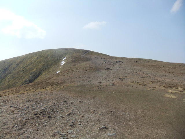 Photo could not load
NY3316 : North side of White Side
David Brown
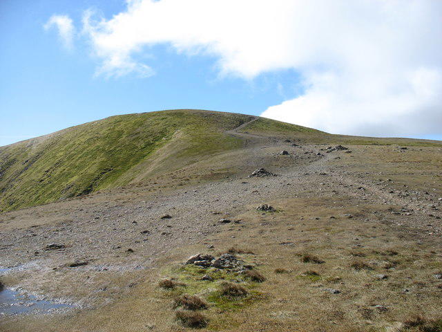 Photo could not load
NY3316 : The path to White Side
David Purchase
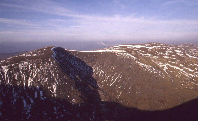 Photo could not load
NY3316 : Whiteside
Richard Webb
NY3316 : Path to Helvellyn
Bill Boaden
Hill facts and local notes
Classifications
Elevation
863m
2,832 ft
Prominence
43m
Coordinates
54.5409, -3.0251
NY337166
OS Map
90
Explorer: OL5S
At the Summit
The summit features a prominent cairn and stunning views over the surrounding hills. Keep an eye out for the occasional cheeky raven who thinks he owns the place!
Terrain & Geology
Primarily comprising volcanic rock from the Borrowdale Volcanic Group, White Side's geology showcases striking lava flows and ash deposits, offering a glimpse into the explosive history of the region.
Views & Scenery
From the summit, gaze upon the majestic Helvellyn, the shimmering waters of Thirlmere, and the rolling hills of the Lake District.
History & Heritage
Name Origin
The name 'White Side' is believed to originate from the light-coloured rocks and scree that characterise its flanks.
Historical Significance
The area is rich in history, with connections to early climbing expeditions and significant wildlife habitats.
Getting There & Facilities
Parking
There is ample parking at Watendlath and at the base of Sticks Pass. Arrive early during peak times as it can get busy!
Public Transport
Buses run to Borrowdale from Keswick, which is approximately nine miles away. Be sure to check schedules as they can be infrequent.
Nearby Facilities
Watendlath has a small café offering refreshments, and there are public toilets located near the car park.
Safety Information
Known Hazards
- Beware of slippery rocks, especially when wet. Sudden weather changes can also occur, so always be prepared!
General Safety Tips
- Check weather conditions before setting out
- Carry appropriate clothing and equipment
- Let someone know your planned route
- Take a map, compass, and GPS device
- Carry emergency supplies: food, water, first aid kit, torch
Hills
Some common questions about the hills answered
Are there group walks up White Side?
Many walkers use Walkmates to join or organise walks with others. You can check for group walks around White Side through the maps
Are there other walkers around White Side?
Activity varies by location and time, but Walkmates lets you see whether others have shared walks or shown interest in this area. Find other people through the walking friends search walking friends for White Side search or of course create your own walk for White Side
Can I organise a walk to White Side?
Yes. If there aren’t any walks listed already, you can create a walk and make it available for others to join.
If you're signed up to Walkmates, you can create a walk to White Side.
How do I find a walk up this hill?
There are often multiple ways to walk this hill, depending on experience and route preference. Walkmates helps you explore walks and routes that others have shared.
Can I suggest a new route up White Side?
Yes. You can suggest or create routes to share with others. Walkmates focuses on the social side of walking, so routes are used to help people organise walks and explore areas together, rather than as detailed navigation tools or route libraries.
Other uses really appreciate knowledgeable walkers sharing their routes. Share your favourite route to White Side here
The is an error or something incorrect about this hill. How do I let you know?
We always strive to keep the information on Walkmates as accurate as possible. If you find an error, please let us know through the contact form and we'll aim to correct it as quickly as possible
Community Discussion
Comments
Location
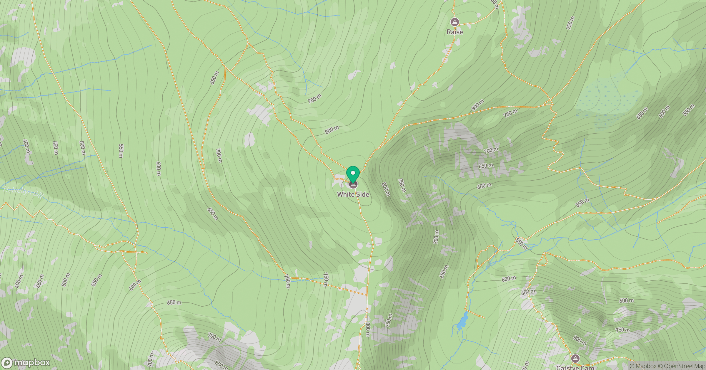
Grid reference: NY337166
View on OpenStreetMapOpens a map in a new tab, centred on the hill.


No comments yet. Be the first.