

Water Crag
Good walks are even better shared.
SD1597 : Prehistoric cairnfield
Mick Garratt Photo source
Overview
Water Crag
Nestled within the breathtaking Lake District, Water Crag stands tall at 509 meters and offers an accessible adventure for hikers and outdoor enthusiasts. Its impressive crags and stunning scenery provide a remarkable respite from the hustle and bustle of everyday life.
Geology
Water Crag is a geological wonder primarily composed of ancient volcanic rock. The sweeping formations, resulting from historical lava flows, create an awe-inspiring craggy landscape. As you navigate the peaks, you'll witness cliffs that show the Earth’s tumultuous past.
Routes
Two popular routes lead to the summit of Water Crag:
- Millerground to Water Crag: This moderate hike measures approximately 7.5 km, winding through lush woodland and ending with breathtaking panoramic views.
- Haweswater Circuit: For those seeking a challenge, this circular trail runs about 10 km around Haweswater Reservoir and takes an estimated 4.5 hours. It's a bit of a slog, but the views are worth every step!
Summit Features
The summit rewards hikers with a rocky outcrop and a quaint cairn to rest upon. It's the perfect place to catch your breath and soak in the marvelous vistas. Bring your camera, as regret over missed photo opportunities is not a fun matter.
Terrain
Expect a mix of rocky trails and grassy slopes leading to the summit. The terrain varies, making it an interesting journey with a few surprises along the way.
Views
The best views from Water Crag are, without a doubt, of the picturesque Haweswater Reservoir and the majestic fells surrounding it. Best Seasons: Spring and early summer are ideal for bright views and beautiful wildflowers growing along the trails.
Hazards
While Water Crag is an inviting hike, be sure to keep an eye out for loose rocks and changing weather. The Lake District is notorious for rapid weather shifts – one moment it’s sunny, and the next, it’s raining! Stay prepared.
Nearby Summits
If you’re feeling adventurous, consider tackling nearby peaks such as High Street and Kidsty Pike, both of which offer their own delightful views and challenges.
Access
For those wondering about access, the nearest parking is available at the Millerground car park, roughly 3.5 km from the trailhead. Windermere bus services connect the area, and the town itself offers a variety of cafés.
Facilities
While Water Crag has no facilities itself, you'll find plenty of options in Windermere, ensuring you can grab a cuppa or use the loo before heading back to the wilderness.
History
The name 'Water Crag' likely reflects the area's historical relationship with water bodies nearby, complimented by the rocky terrain that defines the mountain. The region boasts a rich agricultural heritage and fascinating local lore that speaks to its natural beauty.
In conclusion, Water Crag is more than just a hike; it’s an experience that intertwines adventure, geology, and stunning scenery. So, lace up your hiking boots, pack your lunch, and prepare for an unforgettable day out in the Lake District!
Explore routes near Water Crag
Walks starting near this hill. Open a route to check its map, distance and full itinerary.
Scafell Pike via Brown Tongue and Hollow Stones
View route
Great Carrs Halifax Wreckage from Wrynose Pass
View route
Bow Fell from Langdale
View route
Coniston to Tarn Hows: Monk Coniston Gardens and Woodland Circuit
View route
Route planning notes
These notes describe possible approaches. Check a route's map and access information when planning your walk.
Millerground to Water Crag
A delightful route starting from Millerground that meanders through woodland before reaching the summit with stunning views.
Haweswater Circuit
A circular trail around Haweswater leading to the summit, offering varied terrain and picturesque scenery.
Make a day of it, together
Find someone to share the walk with, or organise a day out along a route you like.
Photo Gallery
View all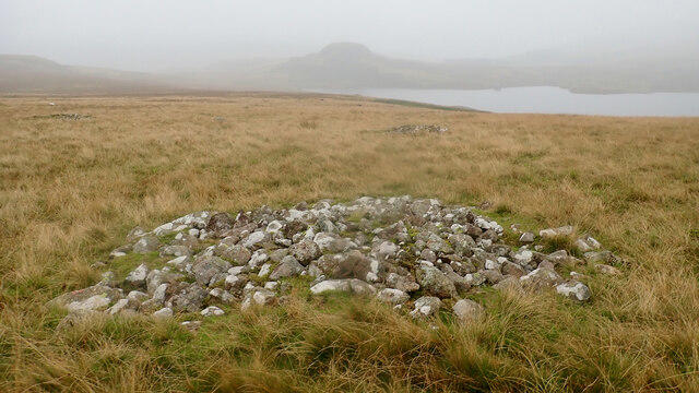 Photo could not load
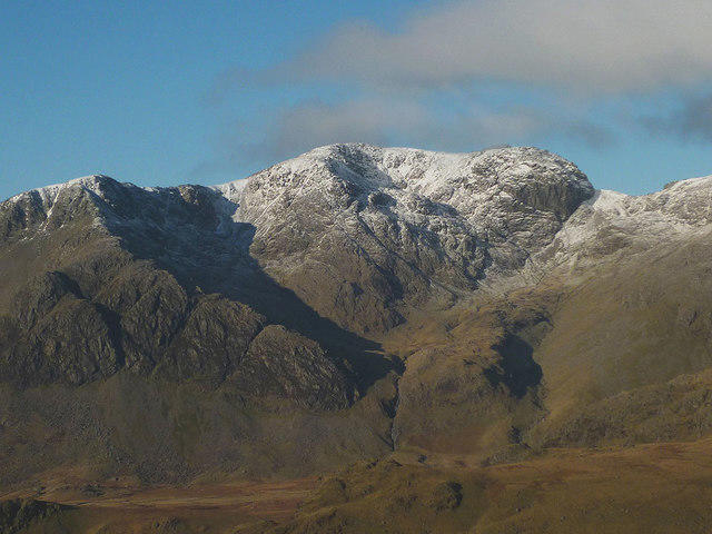
SD1597 : Prehistoric cairnfield
Mick Garratt
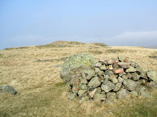 Photo could not load
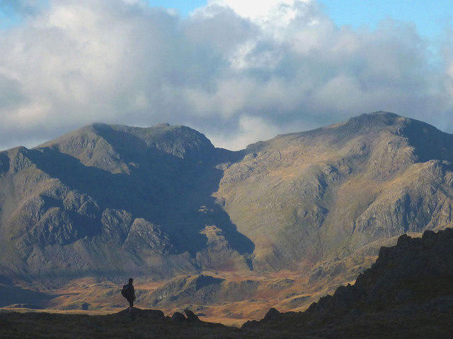
SD1597 : On Water Crag
David Brown
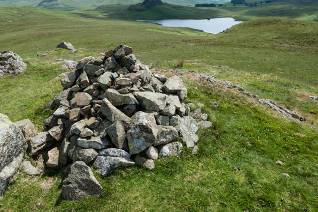 Photo could not load
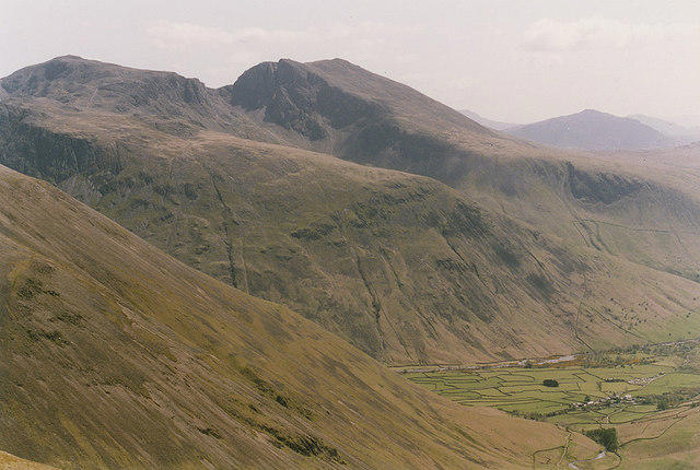
SD1597 : Cairn on summit of Water Crag
Tom Richardson
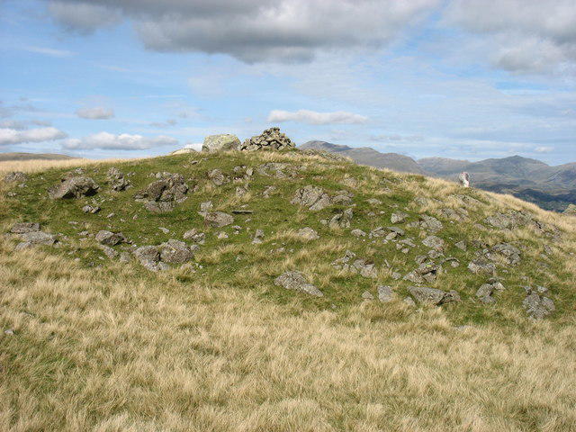 Photo could not load
SD1597 : The summit of Water Crag
David Purchase
Hill facts and local notes
Classifications
Elevation
305m
1,001 ft
Prominence
36m
Coordinates
54.3658, -3.3038
SD153974
OS Map
96
Explorer: OL6N
At the Summit
The summit features a rocky outcrop with a small cairn that provides a perfect rest stop as you enjoy the spectacular views.
Terrain & Geology
Water Crag is primarily composed of volcanic rock, with impressive crags and sloping shores formed from ancient lava flows. The rock structure offers a fascinating glimpse into the past geology of the area.
Views & Scenery
From the summit, you can see the stunning Haweswater Reservoir and the rolling fells of the Lake District, including the distant peak of High Street.
History & Heritage
Name Origin
The name 'Water Crag' likely derives from its proximity to water bodies like Haweswater, combined with the rocky nature of the landscape.
Historical Significance
Historically, this area has been important for agriculture and has local folklore tied to the scenic beauty of the Lake District.
Getting There & Facilities
Parking
Parking is available at the Millerground car park, which is approximately 3.5 km from the trailhead.
Public Transport
Buses from Windermere serve the area, and the nearest railway station is also in Windermere.
Nearby Facilities
There are no facilities directly on Water Crag, but Windermere has plenty of cafés and public toilets.
Safety Information
Known Hazards
- Watch out for loose rocks, especially in the craggy sections. The weather can change rapidly, so be prepared for sudden rain or wind.
General Safety Tips
- Check weather conditions before setting out
- Carry appropriate clothing and equipment
- Let someone know your planned route
- Take a map, compass, and GPS device
- Carry emergency supplies: food, water, first aid kit, torch
Hills
Some common questions about the hills answered
Are there group walks up Water Crag?
Many walkers use Walkmates to join or organise walks with others. You can check for group walks around Water Crag through the maps
Are there other walkers around Water Crag?
Activity varies by location and time, but Walkmates lets you see whether others have shared walks or shown interest in this area. Find other people through the walking friends search walking friends for Water Crag search or of course create your own walk for Water Crag
Can I organise a walk to Water Crag?
Yes. If there aren’t any walks listed already, you can create a walk and make it available for others to join.
If you're signed up to Walkmates, you can create a walk to Water Crag.
How do I find a walk up this hill?
There are often multiple ways to walk this hill, depending on experience and route preference. Walkmates helps you explore walks and routes that others have shared.
Can I suggest a new route up Water Crag?
Yes. You can suggest or create routes to share with others. Walkmates focuses on the social side of walking, so routes are used to help people organise walks and explore areas together, rather than as detailed navigation tools or route libraries.
Other uses really appreciate knowledgeable walkers sharing their routes. Share your favourite route to Water Crag here
The is an error or something incorrect about this hill. How do I let you know?
We always strive to keep the information on Walkmates as accurate as possible. If you find an error, please let us know through the contact form and we'll aim to correct it as quickly as possible
Community Discussion
Comments
Location
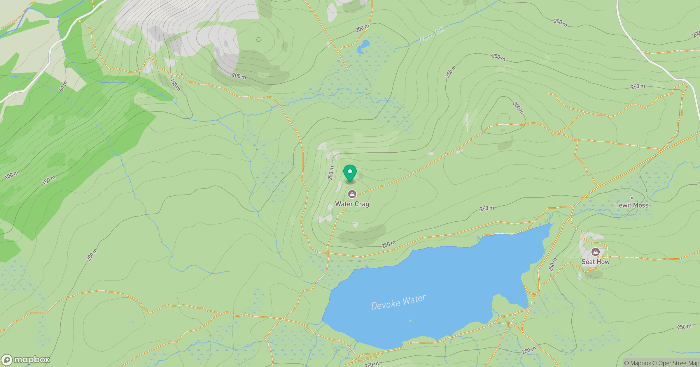
Grid reference: SD153974
View on OpenStreetMapOpens a map in a new tab, centred on the hill.
No comments yet. Be the first.