

Trevose Head
Good walks are even better shared.
SW8576 : Trevose Head Lighthouse
Jo and Steve Turner Photo source
Overview
Trevose Head
Trevose Head, perched gracefully at an elevation of 40 meters, is a gem nestled along the stunning Cornish coastline. This prominent feature is not classified as a mountain in the traditional sense, but its striking cliffs and views make it a must-visit for any outdoor enthusiast.
Geology
The headland is primarily constructed from Jurassic sandstone, fostering landscapes that are as beautiful as they are rugged. With its dramatic cliffs and captivating coves, Trevose Head is a reminder of the mighty forces of nature that shaped this region.
Routes
For those looking to stretch their legs, the Trevose Head Circular Walk is a delightful 5-km trail that wraps around the headland. It's a moderate walk, quite accessible for most. Just remember to keep your eyes peeled for the stunning coastal views, as you might be tempted to sit and enjoy the scenery!
Summit Features
Reaching the summit unveils the iconic Trevose Head Lighthouse, a historical lighthouse that has stood since 1847. The rocky outcrop next to the lighthouse offers an unbeatable viewpoint, making it an ideal spot for a picnic—just bring your own sandwiches, as there’s no café at the top!
Terrain
The terrain is primarily comprised of coastal cliffs and grassy paths. Make sure you wear sturdy shoes, as the rocky sections can be a tad slippery, especially after a good Cornish drizzle.
Views
The views from Trevose Head are sensational. To the north, you can spot Stepper Point and Padstow Head, both worthy of a shout-out. Best seasons for a visit? Spring and summer—grab a good old Cornish ice cream and enjoy those vivid sunset hues over the Atlantic!
Hazards
Beware of the steep cliffs; they certainly add to the scenery but can be perilous! Stay on designated paths, and keep an eye on the weather—it can change quicker than you can say 'Cornish pasty'.
Nearby Summits
If you're keen to explore further, nearby summits such as The Rumps and Step Point await your adventurous spirit. Their higher elevations promise further panoramic views of this beautiful coastline.
Access
Trevose Head is easily accessible from the Trevose Head car park near the lighthouse, which offers free parking... but be warned, arrive early in summer to nab your spot! Nearest town? You might recognise Padstow, famous for its fish and chips.
Facilities
While the summit lacks facilities, the nearby Padstow boasts several cafes, restaurants, and toilets—perfect for a spot of lunch after your hike.
History
The name Trevose translates to 'the farm on the headland' in Cornish, emphasising its cultural ties to the region. Historically significant, the headland has guided countless vessels safely through these waters, a testament to the area's rich maritime heritage.
In conclusion, Trevose Head is not just a headland; it’s a testament to the beauty of the Cornish coastline. Whether you’re a seasoned hiker or a casual wanderer, make sure to add it to your list. And remember, never turn your back on the Atlantic – it has a habit of surprising you!
Explore routes near Trevose Head
Walks starting near this hill. Open a route to check its map, distance and full itinerary.
Padstow to Trevone coastal circular
View route
Camel Trail: Padstow to Wadebridge and back
View route
Wadebridge to Boscarne: Camel Valley Railway Walk
View route
Camel Trail: Bodmin Scarletts Well to Wenfordbridge
View route
Route planning notes
These notes describe possible approaches. Check a route's map and access information when planning your walk.
Trevose Head Circular Walk
A lovely circular walk starting from the Trevose Head car park, taking you along the scenic cliffs with stunning sea views.
Make a day of it, together
Find someone to share the walk with, or organise a day out along a route you like.
Photo Gallery
View all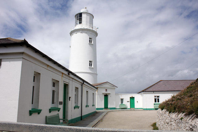 Photo could not load
SW8576 : Trevose Head Lighthouse
Jo and Steve Turner
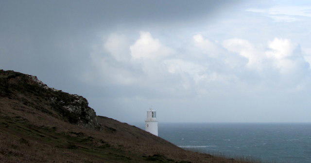 Photo could not load
SW8576 : First sight of the lighthouse, Trevose Head
Derek Harper
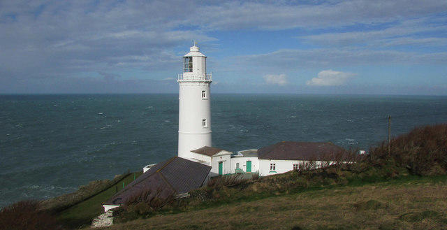 Photo could not load
SW8576 : Lighthouse at Trevose Head
Derek Harper
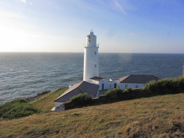 Photo could not load
SW8576 : Lighthouse at Trevose Head, Cornwall
Colin Park
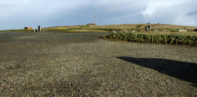 Photo could not load
SW8576 : Car park, Trevose Head
Derek Harper
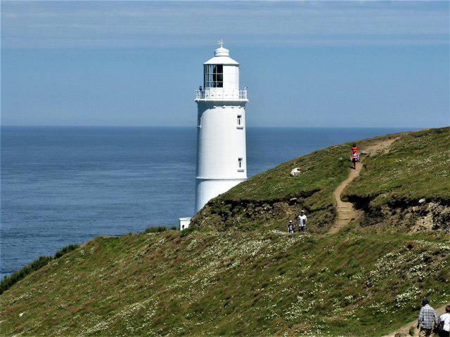 Photo could not load
SW8576 : Trevose Head Lighthouse
G Laird
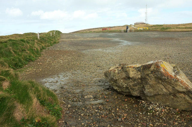 Photo could not load
SW8576 : Car park, Trevose Head
Derek Harper
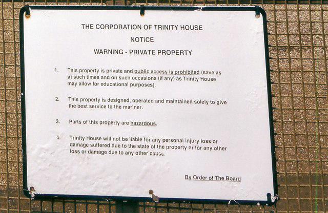 Photo could not load
SW8576 : Trinity House Notice
Peter Jeffery
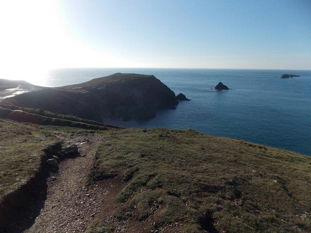 Photo could not load
SW8576 : Trevose Head: looking back over Dinas Head
Chris Downer
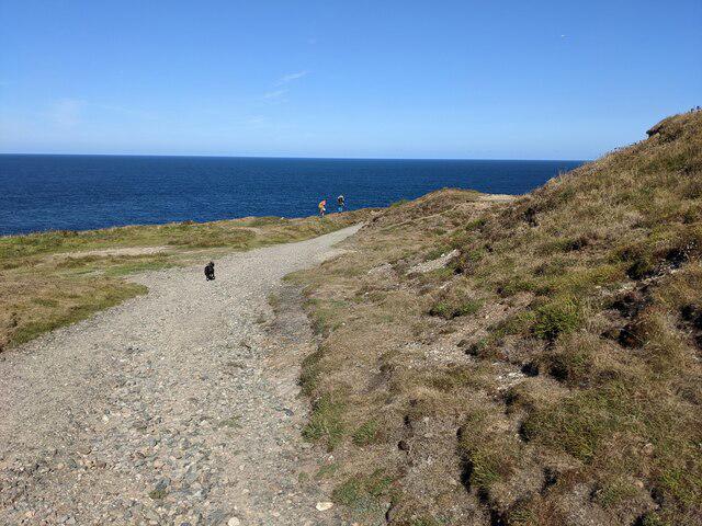
SW8576 : The track from the car park
David Medcalf
Hill facts and local notes
Classifications
Elevation
74m
243 ft
Prominence
55m
Coordinates
50.5484, -5.0331
SW852764
OS Map
200
Explorer: 106
At the Summit
At the summit, you will find the iconic Trevose Head Lighthouse, built in 1847, and a delightful rocky outcrop offering fantastic viewpoints.
Terrain & Geology
Trevose Head is primarily composed of the high ground of the Trevose Head sandstone, a type of Jurassic sedimentary rock. This gives it a rugged coastline with dramatic cliffs and hidden coves.
Views & Scenery
From the summit, gaze out over the Atlantic Ocean, spotting the distant Stepper Point and Padstow Head. The sunsets here are known to set the sky ablaze with colour!
History & Heritage
Name Origin
The name 'Trevose' originates from Cornish, meaning 'the farm on the headland'.
Historical Significance
The area has been an important maritime navigation point for centuries, evidenced by the lighthouse serving as a guide for vessels in the treacherous waters.
Getting There & Facilities
Parking
Trevose Head car park, located near the lighthouse. Parking is free but fills up quickly during summer months.
Public Transport
Limited bus services are available to nearby Padstow, from where you can walk to Trevose Head.
Nearby Facilities
There are no facilities at the summit, but the nearby Padstow offers cafes, restaurants, and public toilets.
Safety Information
Known Hazards
- Steep cliffs along the coastal paths, slippery rocks near the water, and sudden weather changes.
General Safety Tips
- Check weather conditions before setting out
- Carry appropriate clothing and equipment
- Let someone know your planned route
- Take a map, compass, and GPS device
- Carry emergency supplies: food, water, first aid kit, torch
Hills
Some common questions about the hills answered
Are there group walks up Trevose Head?
Many walkers use Walkmates to join or organise walks with others. You can check for group walks around Trevose Head through the maps
Are there other walkers around Trevose Head?
Activity varies by location and time, but Walkmates lets you see whether others have shared walks or shown interest in this area. Find other people through the walking friends search walking friends for Trevose Head search or of course create your own walk for Trevose Head
Can I organise a walk to Trevose Head?
Yes. If there aren’t any walks listed already, you can create a walk and make it available for others to join.
If you're signed up to Walkmates, you can create a walk to Trevose Head.
How do I find a walk up this hill?
There are often multiple ways to walk this hill, depending on experience and route preference. Walkmates helps you explore walks and routes that others have shared.
Can I suggest a new route up Trevose Head?
Yes. You can suggest or create routes to share with others. Walkmates focuses on the social side of walking, so routes are used to help people organise walks and explore areas together, rather than as detailed navigation tools or route libraries.
Other uses really appreciate knowledgeable walkers sharing their routes. Share your favourite route to Trevose Head here
The is an error or something incorrect about this hill. How do I let you know?
We always strive to keep the information on Walkmates as accurate as possible. If you find an error, please let us know through the contact form and we'll aim to correct it as quickly as possible
Community Discussion
Comments
Location
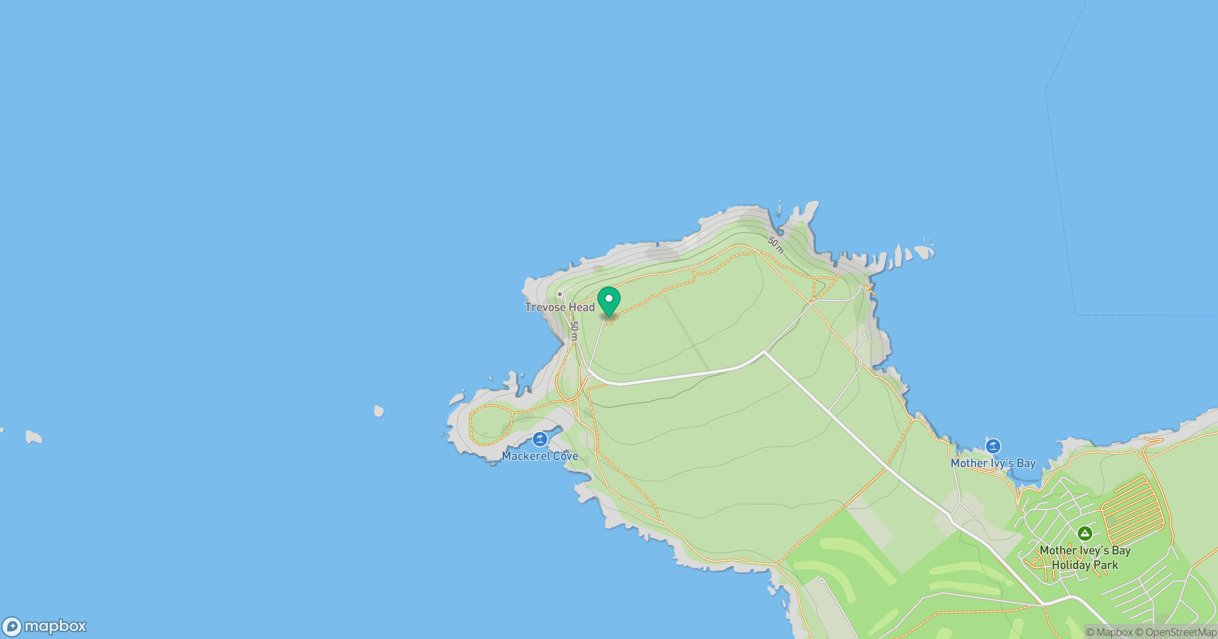
Grid reference: SW852764
View on OpenStreetMapOpens a map in a new tab, centred on the hill.


No comments yet. Be the first.