

Tomnahurich
Good walks are even better shared.
NH6543 : Inverness : Caledonian Canal
Jim Osley Photo source
Overview
Tomnahurich
Tomnahurich is a charming Marilyn located just outside of Inverness in the Scottish Highlands, rising to an elevation of 247 meters. Although it may not boast the dramatic heights of its more illustrious neighbours, it compensates with accessibility and rewarding views.
Geology
The hill is predominantly made of granite, a remnant of ancient volcanic activity in the region. As you traverse its paths, you’re essentially walking on a geological timeline, with each step telling a story of millennia past.
Routes
One of the most popular routes to the summit starts from the town of Inverness. This well-trodden path spans approximately 4.5 km and can be comfortably completed in about 1.5 hours, making it perfect for both seasoned hikers and casual walkers. The trail is generally easy, with just enough elevation to get the heart pumping without leaving you gasping like a fish out of water.
Summit Features
Upon reaching the summit, you’ll be greeted by a substantial cairn which adds to the allure of the place. The vistas from the top are nothing short of spectacular, featuring views over the expansive Moray Firth, the winding Great Glen, and on particularly clear days, the breath-taking peaks of the Cairngorms to the south.
Terrain Type
The terrain is mostly grassy, with some rocky sections that add a bit of character to the hike. The paths are well maintained, but do watch your step, especially in wet conditions.
Views
The highlights at the summit include sights of Inverness itself, the shimmering waters of the Moray Firth, and the surrounding rolling hills. Spring and autumn are indeed the best seasons for taking in these magnificent views, as they provide comfortable temperatures and significantly fewer pesky midges.
Hazards
While the climb is generally straightforward, climbers should be mindful of the penchant for the weather to change with no warning in the Highlands. Paths can become muddy after rain, and it’s wise to keep an eye on the skies!
Nearby Summits
A couple of nearby hills worth exploring include the Back of Keppoch (309 m) and Gartloch Hill (250 m), both of which offer additional hiking opportunities and unique views.
Access
Getting to Tomnahurich is a piece of cake! There is ample roadside parking near the hill’s base in Inverness, and good public transport links mean you can easily reach the city by rail or bus. Just a stone’s throw away lies Inverness—your gateway to adventures in the Highlands.
Facilities
Nearby Inverness boasts various amenities such as cafes for that much-needed cup of tea, shops for snack stocking, and public toilets to keep you comfortable pre- and post-hike.
History
The name ‘Tomnahurich’ comes from Gaelic, translating to ‘the hill of the oak tree’. Historically significant, the hill is intertwined with local lore and provides a cultural touchpoint for the community.
So lace up those hiking boots, pack your waterproofs, and head to Tomnahurich for a delightful dose of Highlands hiking. And remember, if it starts raining, just think of it as a free shower! Happy walking!
Explore routes near Tomnahurich
Walks starting near this hill. Open a route to check its map, distance and full itinerary.
Culbin Forest: Hill 99, Gravel Pit Ponds and Dragonfly Pool
View route
Glen Affric: Coire Loch Woodland Trail
View route
Aviemore: Loch an Eilein and the Croft Track from Rothiemurchus
View route
Rothiemurchus: Beaver Trail and Lochan Mor
View route
Route planning notes
These notes describe possible approaches. Check a route's map and access information when planning your walk.
Tomnahurich Hill from Inverness
A lovely and well-trodden path starting from the city of Inverness, perfect for a quick half-day hike with stunning views.
Make a day of it, together
Find someone to share the walk with, or organise a day out along a route you like.
Photo Gallery
View all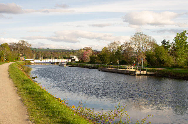 Photo could not load
NH6543 : Inverness : Caledonian Canal
Jim Osley
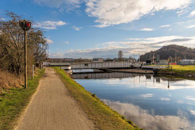 Photo could not load
NH6543 : Claledonian Canal at Tomnahurich Swing Bridge
valenta
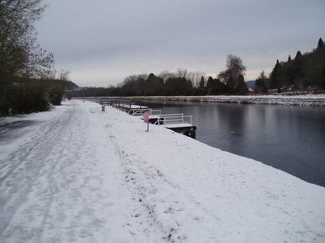 Photo could not load
NH6543 : New berthing quays on Caledonian Canal
Douglas Nelson
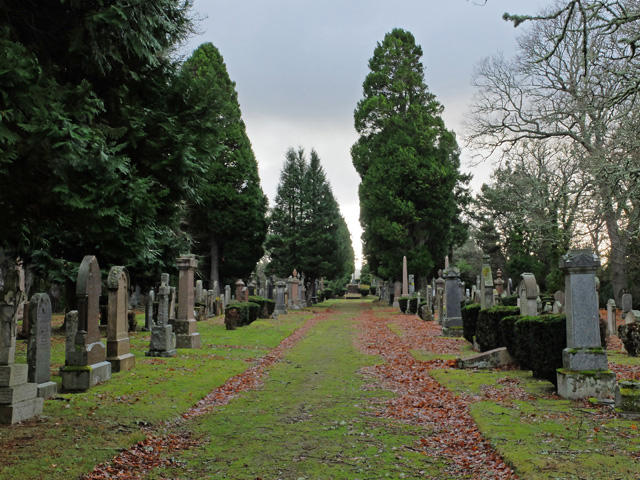 Photo could not load
NH6544 : On top of Tom na h-Iurach
John Allan
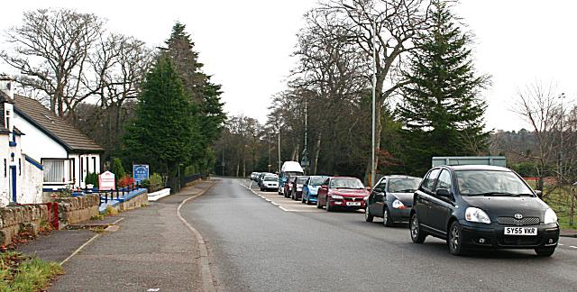 Photo could not load
NH6543 : Traffic Queue on A82 at Tomnahurich Bridge
Anne Burgess
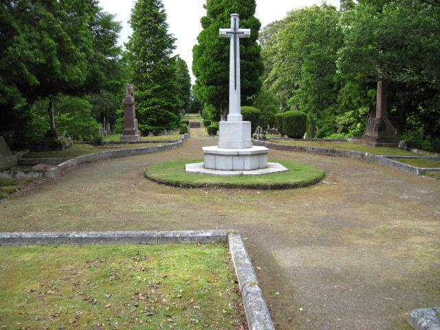 Photo could not load
NH6544 : At the top of the hill in Tomnahurich Cemetery
Chris Wimbush
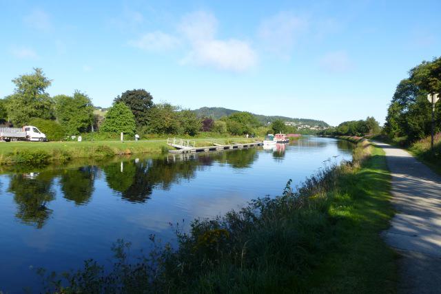 Photo could not load
NH6543 : Along the canal
DS Pugh
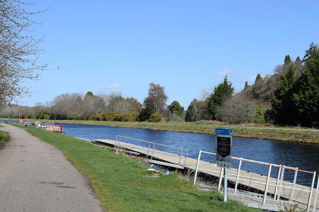 Photo could not load
NH6543 : Moorings, Caledonian Canal
Bill Harrison
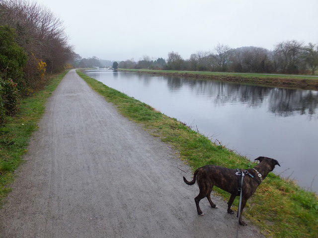 Photo could not load
NH6544 : Caledonian Canal
Alpin Stewart
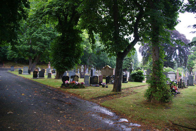
NH6543 : Tomnahurich Cemetery
Bill Boaden
Hill facts and local notes
Classifications
Elevation
70m
230 ft
Prominence
53m
Coordinates
57.4668, -4.2426
NH655440
OS Map
26
Explorer: 416N
At the Summit
The summit is adorned with a noticeable summit cairn and offers panoramic views over Inverness and the surrounding landscape.
Terrain & Geology
Tomnahurich is primarily composed of granite, indicative of the geological formations in the Scottish Highlands. Its rock formations tell a tale of ancient volcanic activity.
Views & Scenery
From the summit, you can see the Moray Firth, the Great Glen, and on a clear day, the peaks of the Cairngorms further south.
History & Heritage
Name Origin
The name 'Tomnahurich' is derived from Gaelic, meaning 'the hill of the oak tree'.
Historical Significance
Historically, Tomnahurich holds cultural importance to the local community, often featuring in local lore and providing a scenic backdrop to the bustling town of Inverness.
Getting There & Facilities
Parking
There's roadside parking available in residential areas near the foot of the hill in Inverness; just be respectful of local residents.
Public Transport
Inverness railway and bus stations are within walking distance, making it easily accessible for day hikers.
Nearby Facilities
Inverness has plenty of amenities including cafes, shops, and public toilets, ensuring all your hiking needs are met before and after your adventure.
Safety Information
Known Hazards
- Beware of sudden weather changes common in the Highlands. Paths can be muddy after rain, and visibility can drop quickly.
General Safety Tips
- Check weather conditions before setting out
- Carry appropriate clothing and equipment
- Let someone know your planned route
- Take a map, compass, and GPS device
- Carry emergency supplies: food, water, first aid kit, torch
Hills
Some common questions about the hills answered
Are there group walks up Tomnahurich?
Many walkers use Walkmates to join or organise walks with others. You can check for group walks around Tomnahurich through the maps
Are there other walkers around Tomnahurich?
Activity varies by location and time, but Walkmates lets you see whether others have shared walks or shown interest in this area. Find other people through the walking friends search walking friends for Tomnahurich search or of course create your own walk for Tomnahurich
Can I organise a walk to Tomnahurich?
Yes. If there aren’t any walks listed already, you can create a walk and make it available for others to join.
If you're signed up to Walkmates, you can create a walk to Tomnahurich.
How do I find a walk up this hill?
There are often multiple ways to walk this hill, depending on experience and route preference. Walkmates helps you explore walks and routes that others have shared.
Can I suggest a new route up Tomnahurich?
Yes. You can suggest or create routes to share with others. Walkmates focuses on the social side of walking, so routes are used to help people organise walks and explore areas together, rather than as detailed navigation tools or route libraries.
Other uses really appreciate knowledgeable walkers sharing their routes. Share your favourite route to Tomnahurich here
The is an error or something incorrect about this hill. How do I let you know?
We always strive to keep the information on Walkmates as accurate as possible. If you find an error, please let us know through the contact form and we'll aim to correct it as quickly as possible
Community Discussion
Comments
Location
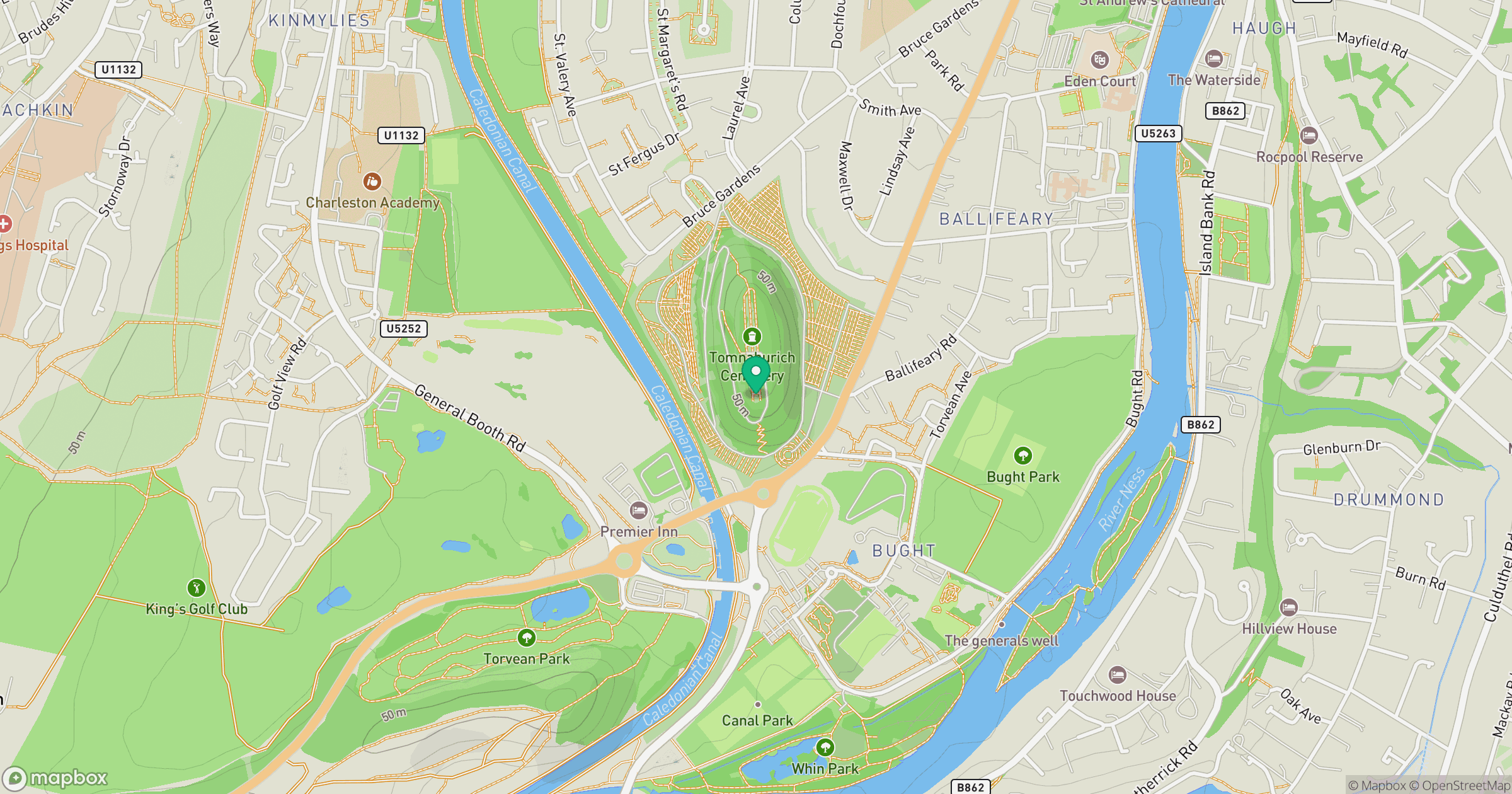
Grid reference: NH655440
View on OpenStreetMapOpens a map in a new tab, centred on the hill.
No comments yet. Be the first.