

Todd Crag
Good walks are even better shared.
NY3504 : Ivy Crag
Rob Burke Photo source
Overview
A Hiker's Guide to Todd Crag
Nestled in the picturesque Lake District, Todd Crag stands as a guardian over Ambleside, enticing adventurers with its rugged charm and stunning vistas. A Marilyn in classification, it towers at an impressive 406 meters albeit with a modest prominence of 23 meters—tall enough to be noteworthy but not yet deserving a superhero cape.
Geology
The crag is primarily crafted from ancient sedimentary rocks, predominantly sandstone, rounded off by glacial forces that sculpted the landscape into the forms we see today. It is a testament to the Earth’s dynamic history, and no, it does not self-assemble like IKEA furniture; patience is key here.
Routes
The most popular trail branches out from Ambleside—a delightful warm-up which weaves through lush woodland and vibrant meadows before challenging you with a rocky climb to the top. At 4.5 kilometers, it shouldn't take longer than an hour and a half, unless you stop for every photo op related to sheep and cows along the way.
Summit Features
Upon reaching Todd Crag's summit, hikers are greeted by a rustic stone cairn. It provides a perfect resting spot (and great for your social media post!) where one can admire the surrounding peaks and valleys, all while contemplating how hard they’ve worked for that packed lunch.
Views
On a clear day, the views from the top are nothing short of jaw-dropping. You can gaze upon Lake Windermere, the longest lake in England, alongside spotting the beautiful Coniston Fells and the undulating hills that encompass this stunning area. For the best experience, spring gifts you blossoming flowers, while autumn wraps the landscape in golden hues.
Hazards
Potential hazards to bear in mind include slippery rocks and loose stones, most likely to greet you after a good downpour, which is common in this neck of the woods. Also, watch your footing near the crag edges—falling isn't a preferred hobby here!
Nearby Summits
Not too far away, you’ll discover other lovely summits that beckon. Loughrigg Fell and Wansfell Pike are particularly worth a visit for those in need of more peaks to tick off their list.
Access
Getting to Todd Crag is a doddle. Ambleside, the nearest town, has ample parking options. The Borrans Park car park is just a stretch away from the trailhead, and for those who prefer public transport, you’re covered with numerous bus services connecting you here.
Facilities
Once you've conquered the crag, don’t be a stranger to the local cafes where you can refuel with a hot chocolate or a slice of cake—both of which nearly deserve their own summit.
History
The name Todd stems from the Old Norse word for 'fox'—you may even encounter a few of these cunning critters on your adventure! The significance of Todd Crag also intertwines with historical mining activities in the Lake District, but don't worry, no pickaxes will be required on your journey.
Todd Crag offers much more than just a hike; it’s a splendid opportunity to delve into the stunning scenery, geological wonders, and a bit of history. So, lace up those hiking boots, throw on your backpack, and prepare for an adventure that’s simply crag-tastic!
Explore routes near Todd Crag
Walks starting near this hill. Open a route to check its map, distance and full itinerary.
Tarn Hows Fast Route
View route
Bow Fell from Langdale
View route
Coniston to Tarn Hows: Monk Coniston Gardens and Woodland Circuit
View route
Great Carrs Halifax Wreckage from Wrynose Pass
View route
Route planning notes
These notes describe possible approaches. Check a route's map and access information when planning your walk.
Ambleside to Todd Crag
A pleasant ascent from the quaint town of Ambleside, taking you through woodland paths and open fields before reaching the rocky summit.
Make a day of it, together
Find someone to share the walk with, or organise a day out along a route you like.
Photo Gallery
View all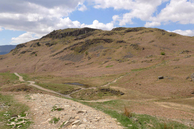 Photo could not load
NY3504 : Ivy Crag
Rob Burke
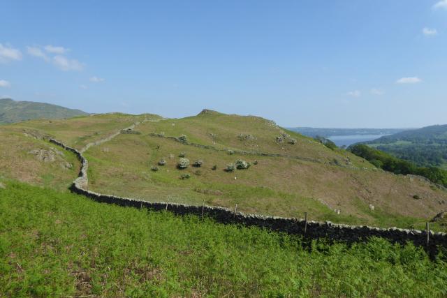 Photo could not load
NY3504 : Walls on Loughrigg
DS Pugh
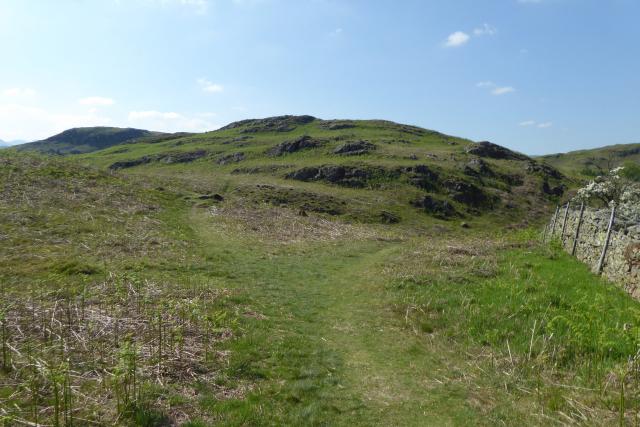 Photo could not load
NY3504 : Branching paths on Loughrigg
DS Pugh
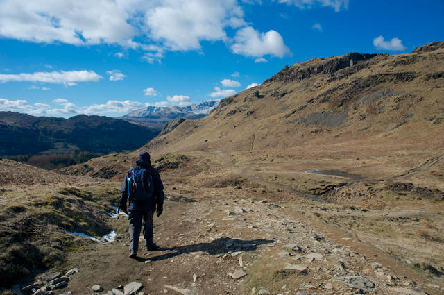 Photo could not load
NY3504 : Langdale from Loughrigg Fell
Tom Richardson
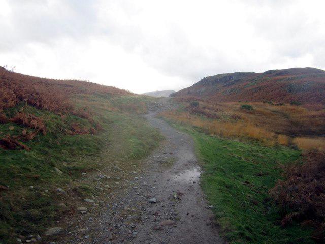 Photo could not load
NY3504 : Bridleway crossing Loughrigg fell
Graham Robson
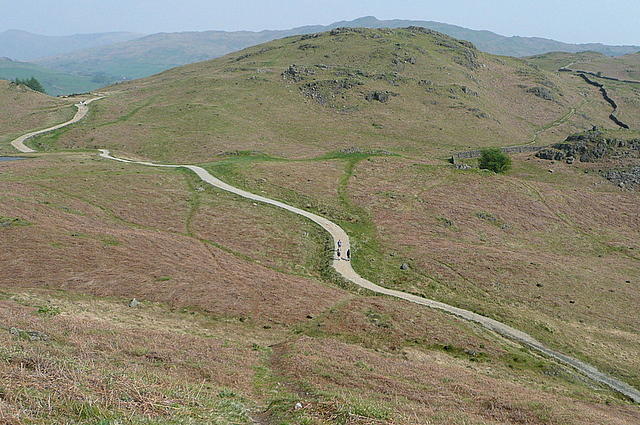 Photo could not load
NY3504 : Bridleway across Loughrigg
Graham Horn
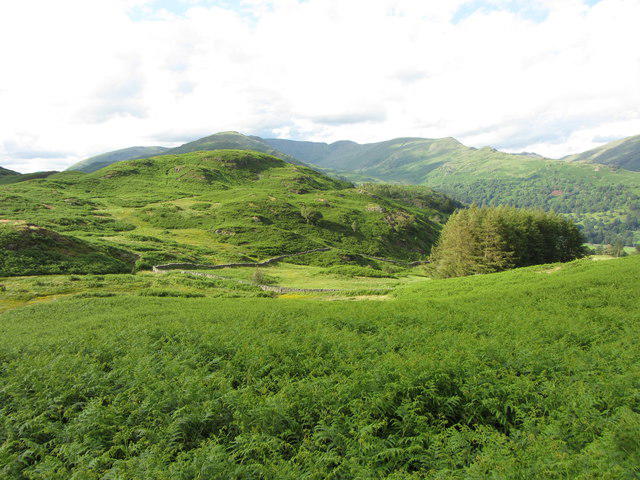 Photo could not load
NY3504 : View north over Loughrigg Fell
Gareth James
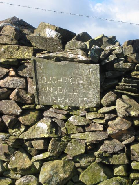 Photo could not load
NY3504 : Old Guide Stone on Loughrigg Fell, Lakes Parish
Milestone Society
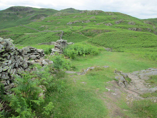 Photo could not load
NY3504 : Footpaths on Loughrigg
Peter S
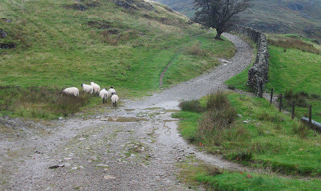
NY3504 : Bridleway on Loughrigg
michael ely
Hill facts and local notes
Classifications
Elevation
224m
733 ft
Prominence
32m
Coordinates
54.4297, -2.9902
NY358042
OS Map
90
Explorer: OL7N
At the Summit
At the summit, you'll find a charming stone cairn and a few rocky outcrops that make for perfect picnic spots—ideal for enjoying a well-earned sandwich!
Terrain & Geology
Todd Crag primarily consists of sedimentary rock formations, mainly composed of sandstone which has been shaped by glacial action and weathering over millennia. This gives the crag its distinctive rugged appearance.
Views & Scenery
Breathtaking panoramic views of Lake Windermere, the Coniston Fells, and the rolling hills of the southern Lake District.
History & Heritage
Name Origin
The name 'Todd' is thought to derive from the Old Norse word for 'fox', while 'Crag' simply refers to its rocky prominence.
Historical Significance
Todd Crag has long been a favourite among local walkers, offering not only a dose of exercise but also historical glimpses into the area's mining heritage.
Getting There & Facilities
Parking
You can park in one of Ambleside's many car parks, such as the Borrans Park car park, which is about 1 km from the route start.
Public Transport
Ambleside is well served by local bus routes, with services connecting to Windermere and other nearby towns.
Nearby Facilities
Ambleside has numerous facilities, including cafes, restaurants, and public toilets. Don't forget to grab a slice of cake to fuel your hike!
Safety Information
Known Hazards
- Watch for slippery rocks and loose ground, especially after rainfall. There can also be a few steep drops near the summit, so keep an eye on your footing.
General Safety Tips
- Check weather conditions before setting out
- Carry appropriate clothing and equipment
- Let someone know your planned route
- Take a map, compass, and GPS device
- Carry emergency supplies: food, water, first aid kit, torch
Hills
Some common questions about the hills answered
Are there group walks up Todd Crag?
Many walkers use Walkmates to join or organise walks with others. You can check for group walks around Todd Crag through the maps
Are there other walkers around Todd Crag?
Activity varies by location and time, but Walkmates lets you see whether others have shared walks or shown interest in this area. Find other people through the walking friends search walking friends for Todd Crag search or of course create your own walk for Todd Crag
Can I organise a walk to Todd Crag?
Yes. If there aren’t any walks listed already, you can create a walk and make it available for others to join.
If you're signed up to Walkmates, you can create a walk to Todd Crag.
How do I find a walk up this hill?
There are often multiple ways to walk this hill, depending on experience and route preference. Walkmates helps you explore walks and routes that others have shared.
Can I suggest a new route up Todd Crag?
Yes. You can suggest or create routes to share with others. Walkmates focuses on the social side of walking, so routes are used to help people organise walks and explore areas together, rather than as detailed navigation tools or route libraries.
Other uses really appreciate knowledgeable walkers sharing their routes. Share your favourite route to Todd Crag here
The is an error or something incorrect about this hill. How do I let you know?
We always strive to keep the information on Walkmates as accurate as possible. If you find an error, please let us know through the contact form and we'll aim to correct it as quickly as possible
Community Discussion
Comments
Location
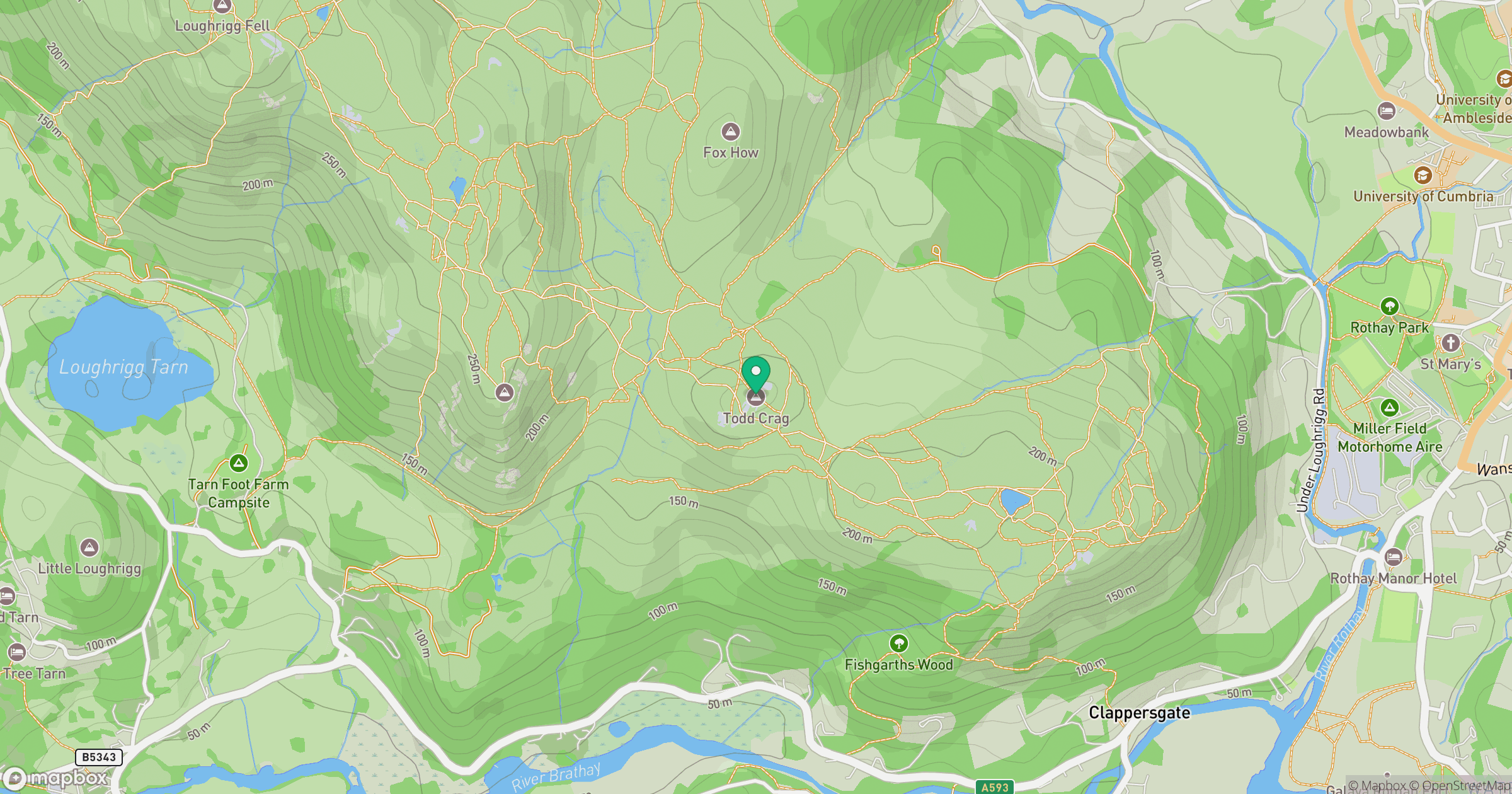
Grid reference: NY358042
View on OpenStreetMapOpens a map in a new tab, centred on the hill.

No comments yet. Be the first.