

Seatallan
Good walks are even better shared.
NY1308 : Ascending Seatallan
Michael Graham Photo source
Overview
Seatallan: A Hidden Gem in the Lake District
Nestled in the heart of the scenic Lake District, Seatallan stands proud at 600 meters, ready to welcome adventurers with open arms (and possibly a light drizzle). This Marilyn offers plenty of character and striking views of the surrounding countryside.
Geology
The mountain is composed predominantly of volcanic rock, a testament to the earth's ancient history. Hiking Seatallan not only offers fresh air but also a mini-lesson in geological processes, as you tread through terrain shaped by the forces of nature itself.
Routes
There are a couple of ways to tackle Seatallan, each providing a unique experience:
- Seatallan from Nether Wasdale: This moderate route is about 7.5 km long and can be completed in roughly 3.5 hours. Enjoy delightful views while ascending steadily.
- Seatallan via the Greendale Valley: For those seeking a challenge, this route is 9 km and will take around 4.5 hours. The Greendale Valley adds an element of adventure to your ascent.
Summit Features
At the summit, you will find a small cairn, perfect for a photo op or a resting spot with a scenic backdrop. The 360-degree views are sure to take your breath away (just not too literally!).
Terrain Type
Expect a mix of rocky outcrops and grassy slopes, with a few boggy patches that can catch even the most seasoned hiker off-guard. Always wise to keep a lookout for those hidden puddles!
Views
The views from Seatallan are nothing short of stunning. On a clear day, the majestic Great Gable and Scafell Pike loom in the distance. If luck’s on your side, you might even see the Isle of Man!
Best to visit in Spring or Autumn, when the landscape is vibrant and the weather is less inclined to play tricks on you.
Hazards
While Seatallan is accessible, it's not without its risks! Be cautious of slippery rocks, especially following rainfall. Additionally, the famously unpredictable Lake District weather can change from sunny to ‘absolutely pouring’ in seconds! Just another reason to always carry a waterproof jacket.
Nearby Summits
If you're keen on bagging more peaks, nearby you will find:
- Great Gable (899m)
- Scafell Pike (978m)
Access
Getting to Seatallan is a breeze. The nearest parking is located at the National Trust car park in Nether Wasdale, where you can stash your car with a peace of mind. Public transport is also reliable, with buses running to Nether Wasdale from surrounding towns, making it accessible for those who prefer to leave the car at home.
Facilities
Just down the road in Nether Wasdale, you’ll find a charming cafe for a well-earned coffee or slice of cake after your hike. There are also toilets available to refresh yourself before the descent.
History
The name ‘Seatallan’ merges Old Norse roots, hinting at tales of ancient lands and waters. Its significance is not just geographical; it has become a beloved destination for hikers seeking natural beauty and a quiet escape from the busyness of life.
In conclusion, reaching the summit of Seatallan is not just a hike; it's a journey through picturesque landscapes, fascinating geology, and a taste of the rich history that adds depth to every step. Grab your boots, pack your bag, and get ready for an extraordinary adventure!
Explore routes near Seatallan
Walks starting near this hill. Open a route to check its map, distance and full itinerary.
Scafell Pike via Brown Tongue and Hollow Stones
View route
Steeple, Scoat Fell and Haycock from Ennerdale
View route
Scafell Pike from Seathwaite via the Corridor Route
View route
Bow Fell from Langdale
View route
Route planning notes
These notes describe possible approaches. Check a route's map and access information when planning your walk.
Seatallan from Nether Wasdale
A popular route starting from the quaint village of Nether Wasdale, offering a steady ascent with breathtaking scenery.
Seatallan via the Greendale Valley
A more challenging route that takes you through the scenic Greendale Valley. Perfect for those looking to stretch their legs!
Make a day of it, together
Find someone to share the walk with, or organise a day out along a route you like.
Photo Gallery
View all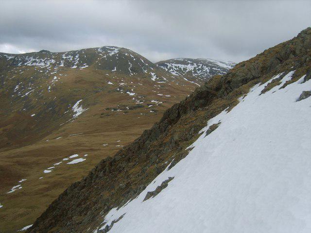 Photo could not load
NY1308 : Ascending Seatallan
Michael Graham
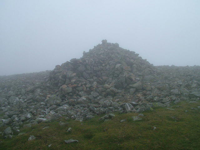 Photo could not load
NY1308 : Seatallan shelter
David Brown
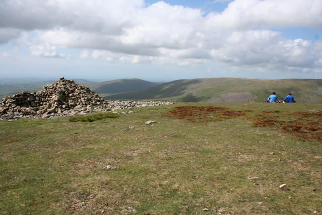 Photo could not load
NY1308 : Cairn on the summit of Seatallan
Espresso Addict
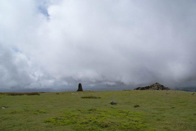 Photo could not load
NY1308 : The top of Seatallan
Bill Boaden
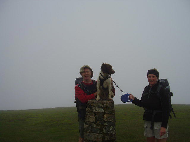 Photo could not load
NY1308 : Seatallan summit
steven ruffles
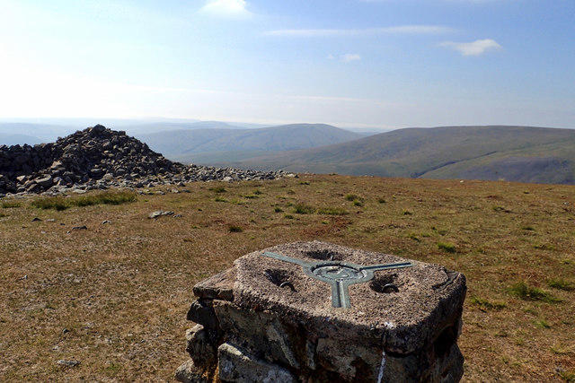 Photo could not load
NY1308 : Seatallan trig point and cairn
Mick Garratt
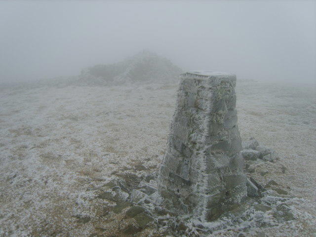 Photo could not load
NY1308 : Seatallen Summit
Michael Graham
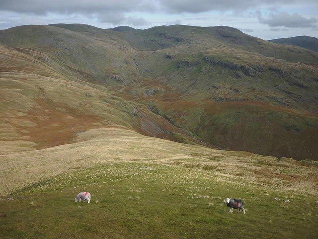 Photo could not load
NY1408 : Herdwick sheep, Seatallan
Karl and Ali
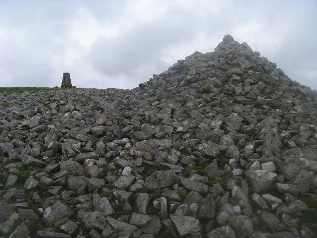 Photo could not load
NY1308 : Summit of Seatallan
Shaun Ferguson
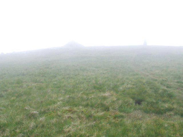
NY1308 : The summit of Seatallan
Tim Glover
Hill facts and local notes
Classifications
Elevation
693m
2,274 ft
Prominence
193m
Coordinates
54.4641, -3.3283
NY140084
OS Map
89
Explorer: OL6N
At the Summit
The summit features a small, weathered cairn and a stunning view over the surrounding valleys. A perfect place for a humble picnicker to rest and absorb nature's beauty.
Terrain & Geology
Seatallan is largely composed of volcanic rock formed during the early stages of the Lake District's geological history. Its rugged slopes and crags give a glimpse of the dramatic forces that shaped this picturesque region.
Views & Scenery
From the summit, you can enjoy spectacular views of the Wasdale Valley, Scafell Pike, and the distant Isle of Man on a clear day.
History & Heritage
Name Origin
The name 'Seatallan' is believed to derive from the Old Norse words for 'slope' and 'water,' possibly referencing its location near the lakes.
Historical Significance
A popular hiking destination, Seatallan offers an accessible yet rewarding experience for both novice and seasoned walkers.
Getting There & Facilities
Parking
Park at the National Trust car park in Nether Wasdale; it's a short walk to the trailhead.
Public Transport
Buses regularly run from nearby towns like Gosforth to Nether Wasdale, making it accessible for those without a car.
Nearby Facilities
The nearest facilities are in Nether Wasdale; there's a small cafe for a pre-hike brew and toilets available.
Safety Information
Known Hazards
- Beware of slippery rocks after rain, and be cautious of sudden weather changes, which can occur in the Lake District.
General Safety Tips
- Check weather conditions before setting out
- Carry appropriate clothing and equipment
- Let someone know your planned route
- Take a map, compass, and GPS device
- Carry emergency supplies: food, water, first aid kit, torch
Hills
Some common questions about the hills answered
Are there group walks up Seatallan?
Many walkers use Walkmates to join or organise walks with others. You can check for group walks around Seatallan through the maps
Are there other walkers around Seatallan?
Activity varies by location and time, but Walkmates lets you see whether others have shared walks or shown interest in this area. Find other people through the walking friends search walking friends for Seatallan search or of course create your own walk for Seatallan
Can I organise a walk to Seatallan?
Yes. If there aren’t any walks listed already, you can create a walk and make it available for others to join.
If you're signed up to Walkmates, you can create a walk to Seatallan.
How do I find a walk up this hill?
There are often multiple ways to walk this hill, depending on experience and route preference. Walkmates helps you explore walks and routes that others have shared.
Can I suggest a new route up Seatallan?
Yes. You can suggest or create routes to share with others. Walkmates focuses on the social side of walking, so routes are used to help people organise walks and explore areas together, rather than as detailed navigation tools or route libraries.
Other uses really appreciate knowledgeable walkers sharing their routes. Share your favourite route to Seatallan here
The is an error or something incorrect about this hill. How do I let you know?
We always strive to keep the information on Walkmates as accurate as possible. If you find an error, please let us know through the contact form and we'll aim to correct it as quickly as possible
Community Discussion
Comments
Location
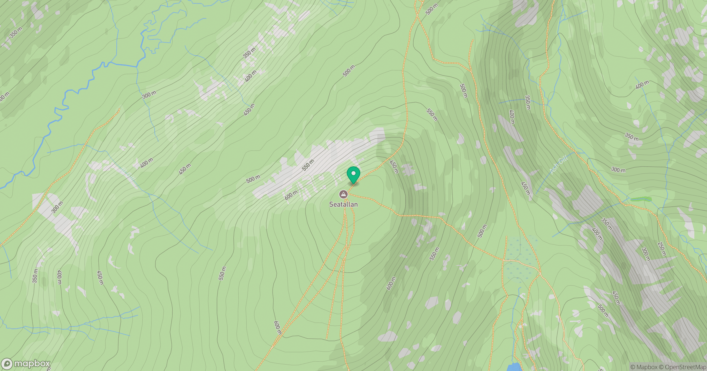
Grid reference: NY140084
View on OpenStreetMapOpens a map in a new tab, centred on the hill.
Nearby Hills
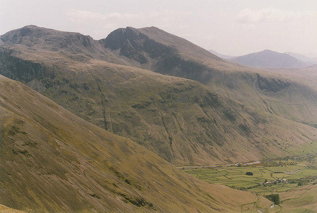
Pillar
892m
High Stile [Grey Crag - High Stile]
806m
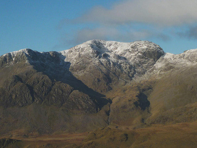
Scafell
964m

Great Gable
899m
Fleetwith Pike
649m
No comments yet. Be the first.