

Putney Heath
Good walks are even better shared.
TQ2272 : Wimbledon Common
Peter Trimming Photo source
Overview
Putney Heath
Nestled in the heart of Greater London, Putney Heath offers a delightful escape from the urban hustle and bustle. At an elevation of just 56 meters, it won't challenge the most seasoned mountaineer, but it serves up a heaping dose of charm and fresh air!
Geology
Putney Heath is predominantly composed of London Clay, with slices of gravel and sandy soils sprinkled throughout, providing a unique ecosystem for local flora and fauna. The area has seen weathering effects over time, leading to the gentle slopes that make up the heath today.
Routes
Putney Common to Putney Heath Loop
This easy three-and-a-half-kilometre loop is perfect for families, offering paths that meander through woodland and open spaces. Perfect for a Sunday stroll or a light jog, just mind the dog walkers and cyclists; they can sometimes take you by surprise!
Summit Features
While it may not boast a formal summit, the highest point of Putney Heath features a charming little bench, ideal for a quick pit stop. It's a lovely spot for a breather and allows you to soak in the calming views of the surrounding countryside.
Terrain Type
Expect grassy expanses interspersed with wooded areas and the occasional patch of wildflowers. The terrain is gentle and inviting, perfect for a relaxed jaunt.
Views
On clear days, you’ll be rewarded with glimpses of the River Thames and even the distant city skyline. The best seasons to experience these views are spring and early autumn—nature’s finest display!
Hazards
Be aware that Putney Heath can get quite busy, especially on sunny weekends. Keep an eye out for cyclists zooming past and feel free to chat with the numerous dog walkers you’ll encounter. A deer sighting can sometimes add a touch of excitement, but generally, the hazards are minimal.
Nearby Summits
If you're keen on climbing a tad higher, nearby Putney Hill and Clapham Common provide a few additional meters of elevation and are both within easy reach.
Access
Getting to Putney Heath is fairly straightforward. While parking can be a bit of a challenge, public transport options are plentiful, making it convenient for a day out. Buses and Putney train station provide ample routes to arrive at this lovely heath.
Facilities
Once you've worked up an appetite, head to nearby cafes in Putney for refreshments, or if nature calls, public toilets are available at the entrance to the heath.
History
The etymology of 'Putney' gives a nod to its ancient roots, originating from 'Puteanne' and insinuating a connection to the flowing river. Historically, this area once served as a royal hunting ground, adding a regal air to your leisurely stroll.
In conclusion, Putney Heath is a splendid spot for a gentle hike or a family outing. So, put on your walking shoes, grab a picnic, and get ready to enjoy a slice of nature right in the city!
Explore routes near Putney Heath
Walks starting near this hill. Open a route to check its map, distance and full itinerary.
Richmond Park - The Tamsin Trail
View route
Battersea Park Lake, Peace Pagoda and Thames Promenade
View route
Bushy Park Ponds, Woodland Gardens and Diana Fountain
View route
Hyde Park Serpentine and Kensington Gardens Circuit
View route
Route planning notes
These notes describe possible approaches. Check a route's map and access information when planning your walk.
Putney Common to Putney Heath Loop
A scenic loop starting from Putney Common, winding through woods and fields to the open expanse of Putney Heath.
Make a day of it, together
Find someone to share the walk with, or organise a day out along a route you like.
Photo Gallery
View all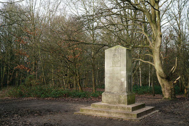 Photo could not load
TQ2272 : Wimbledon Common
Peter Trimming
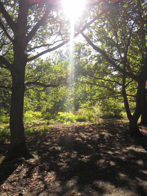 Photo could not load
TQ2272 : Sunlight and trees, Wimbledon Common
Derek Harper
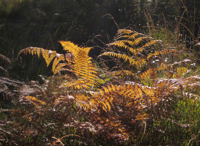 Photo could not load
TQ2272 : Bracken fronds, Wimbledon Common
Derek Harper
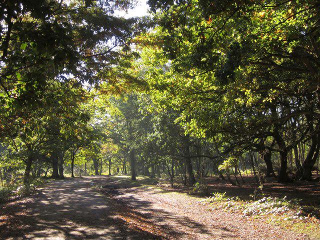 Photo could not load
TQ2272 : Windmill Ride, Wimbledon Common
Derek Harper
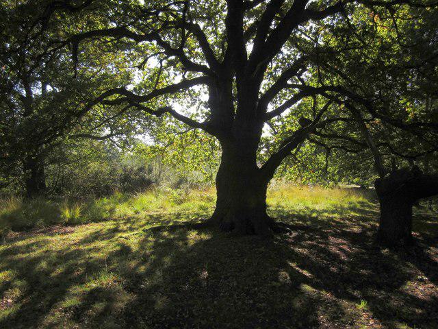 Photo could not load
TQ2272 : Tree on Wimbledon Common
Derek Harper
Hill facts and local notes
Classifications
Elevation
60m
197 ft
Prominence
47m
Coordinates
51.4406, -0.2334
TQ228727
OS Map
176
Explorer: 161
At the Summit
While there is no official summit, the highest point offers a small bench, perfect for a breather while taking in the gentle countryside views.
Terrain & Geology
Putney Heath is primarily composed of London Clay, which has weathered over time to form gentle slopes. The area is interspersed with patches of gravel and sandy soils, creating a diverse habitat.
Views & Scenery
On a clear day, you can see parts of the River Thames, and the city skyline beyond, providing a lovely juxtaposition of nature and urban life.
History & Heritage
Name Origin
The name 'Putney' is derived from the Anglo-Saxon term 'Puteanne,' meaning 'a place where the river flows by,' while 'Heath' refers to open uncultivated land.
Historical Significance
Putney Heath has played a key role in local history, once being a royal hunting ground, adding a touch of regal charm to its pastoral beauty.
Getting There & Facilities
Parking
Putney Heath has limited parking available in nearby residential streets. Public parking is often full, so early arrival is advised.
Public Transport
Putney Heath is accessible via various bus routes stopping close by and is a short walk from Putney train station.
Nearby Facilities
There are several cafes and restaurants in Putney, as well as public toilets available at the Putney Heath entrance.
Safety Information
Known Hazards
- Watch out for dog walkers, cyclists, and the occasional deer. On weekends, the area can be quite busy.
General Safety Tips
- Check weather conditions before setting out
- Carry appropriate clothing and equipment
- Let someone know your planned route
- Take a map, compass, and GPS device
- Carry emergency supplies: food, water, first aid kit, torch
Hills
Some common questions about the hills answered
Are there group walks up Putney Heath?
Many walkers use Walkmates to join or organise walks with others. You can check for group walks around Putney Heath through the maps
Are there other walkers around Putney Heath?
Activity varies by location and time, but Walkmates lets you see whether others have shared walks or shown interest in this area. Find other people through the walking friends search walking friends for Putney Heath search or of course create your own walk for Putney Heath
Can I organise a walk to Putney Heath?
Yes. If there aren’t any walks listed already, you can create a walk and make it available for others to join.
If you're signed up to Walkmates, you can create a walk to Putney Heath.
How do I find a walk up this hill?
There are often multiple ways to walk this hill, depending on experience and route preference. Walkmates helps you explore walks and routes that others have shared.
Can I suggest a new route up Putney Heath?
Yes. You can suggest or create routes to share with others. Walkmates focuses on the social side of walking, so routes are used to help people organise walks and explore areas together, rather than as detailed navigation tools or route libraries.
Other uses really appreciate knowledgeable walkers sharing their routes. Share your favourite route to Putney Heath here
The is an error or something incorrect about this hill. How do I let you know?
We always strive to keep the information on Walkmates as accurate as possible. If you find an error, please let us know through the contact form and we'll aim to correct it as quickly as possible
Community Discussion
Comments
Location
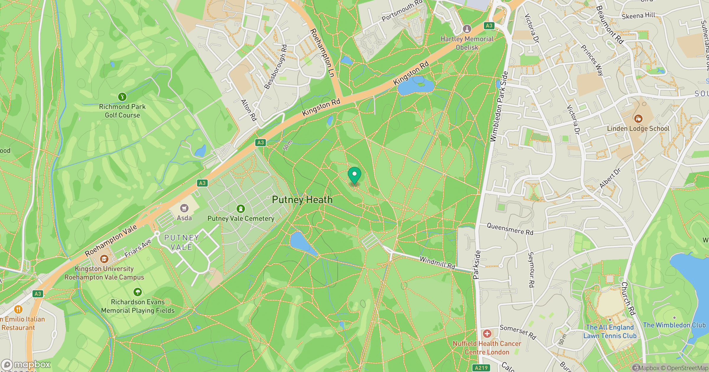
Grid reference: TQ228727
View on OpenStreetMapOpens a map in a new tab, centred on the hill.
Nearby Hills
Leith Hill
294m
Ditchling Beacon
248m
Worcestershire Beacon
425m
The Roaches
505m
Glastonbury Tor
158m
No comments yet. Be the first.