

Mugdock Hill
Good walks are even better shared.
NS5576 : Woodland path north of Mugdock Reservoir
Stephen Sweeney Photo source
Overview
Mugdock Hill
Mugdock Hill, standing at 303 meters, may not be Scotland's highest, but what it lacks in elevation, it makes up for in stunning vistas and accessibility. Located just northwest of Glasgow, it sits comfortably within Mugdock Country Park.
Geology
The hill is primarily made up of sedimentary rock, with fantastic granite formations at the base that are a joy to explore for those with a discerning eye. The varied geology offers exciting prospects for budding geologists and casual hikers alike.
Routes
There are a couple of popular routes leading to the summit:
- Mugdock Country Park to Summit: A 4.5 km trail through enchanting woodlands, it takes about 1.5 hours at a moderate pace.
- Milngavie to Mugdock Hill: For the ambitious, this 11 km hike includes part of the West Highland Way, adding a touch of challenge to the adventure with a total time of around 3.5 hours.
Summit Features
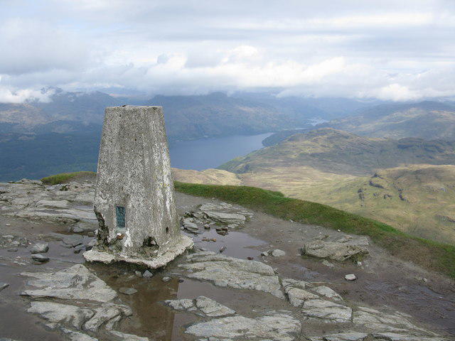
At the top, you'll find a modest stone cairn to mark your achievement. It's a lovely spot to rest and soak in the breathtaking views that stretch towards the Campsie Fells and even the busy city of Glasgow.
Terrain
Expect a delightful mix of rocky paths, grassy slopes, and some boggy sections, especially after rain. Solid footwear is recommended—unless you're aiming for a 'muddy chic' look!
Views
The views from Mugdock Hill are nothing short of spectacular. On clear days, one can see the grandeur of the Southern Highlands looming in the distance, alongside the picturesque contours of the Campsie Fells. Spring and autumn are particularly splendid times for a visit, as nature puts on quite the show.
Hazards
Be cautious; the paths can become slippery when wet, and weather changes can be dramatic, so pack for a variety of conditions!
Nearby Summits
For those keen to explore further, the Campsie Fells nearby provide excellent additional hiking opportunities, challenging yourself and rewarding you with more breathtaking views.
Access
Mugdock Country Park offers convenient parking and is easily reached from Milngavie via public transport. If you’re driving, there's ample parking available.
Facilities
The park offers picnic areas for those who fancy a packed lunch, as well as a café and restrooms—perfect for when nature’s calls. Treat yourself to some delightful refreshments post-hike!
History
The name Mugdock is thought to come from the Gaelic term for 'pig's hollow', contributing to the area's rich tapestry of history. The hill is not only a natural haven but also encapsulates the cultural and historical significance of this part of Scotland, making it a cherished spot for locals and visitors alike.
So, lace up those boots and head out to Mugdock Hill for a day of adventure! You won’t regret the views or the sense of accomplishment! Remember to check the weather and pack accordingly—no one likes a soggy sandwich!
Explore routes near Mugdock Hill
Walks starting near this hill. Open a route to check its map, distance and full itinerary.
Kirkintilloch to Twechar Bridge: Forth and Clyde Canal Return
View route
Finnich Glen geology walk
View route
Paisley Walk with Men Walking & Talking
View route
Cambuslang Walk with Men Walking & Talking
View route
Route planning notes
These notes describe possible approaches. Check a route's map and access information when planning your walk.
Mugdock Country Park to Summit
A well-marked trail beginning in Mugdock Country Park, winding through woodlands before ascending to the summit.
Milngavie to Mugdock Hill
A longer route that connects with the West Highland Way before taking a detour to Mugdock Hill.
Make a day of it, together
Find someone to share the walk with, or organise a day out along a route you like.
Photo Gallery
View all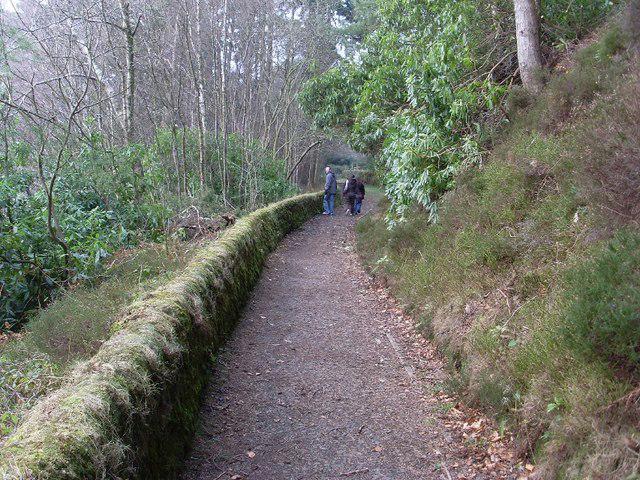 Photo could not load
NS5576 : Woodland path north of Mugdock Reservoir
Stephen Sweeney
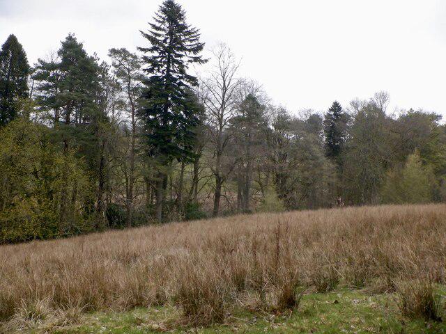 Photo could not load
NS5676 : Wet pasture, Mugdock
Richard Webb
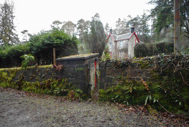 Photo could not load
NS5576 : Craigholm
Richard Sutcliffe
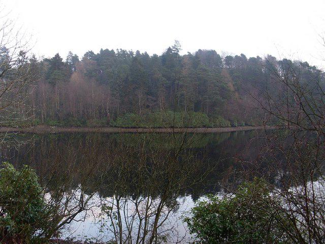 Photo could not load
NS5576 : Woodland behind Mugdock Reservoir
Stephen Sweeney
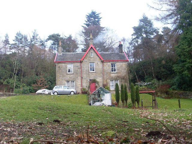 Photo could not load
NS5576 : House by Mugdock Reservoir
Stephen Sweeney
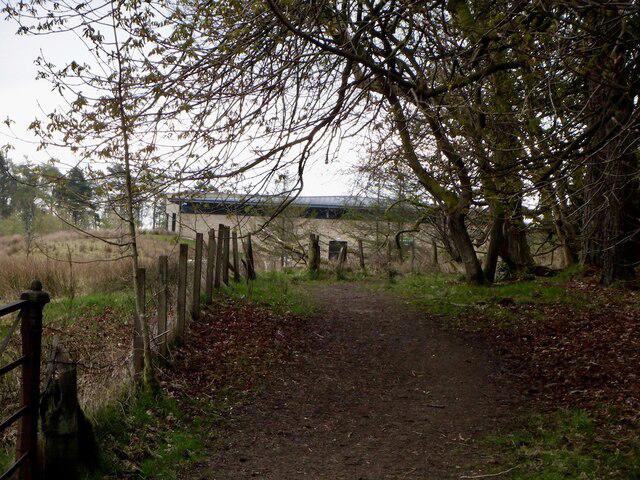 Photo could not load
NS5676 : Path, Mugdock
Richard Webb
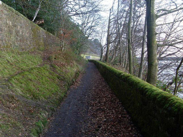 Photo could not load
NS5576 : Southeast view along path by Mugdock Reservoir
Stephen Sweeney
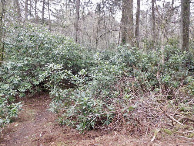 Photo could not load
NS5576 : Rhododendron ponticum, Mugdock
Richard Webb
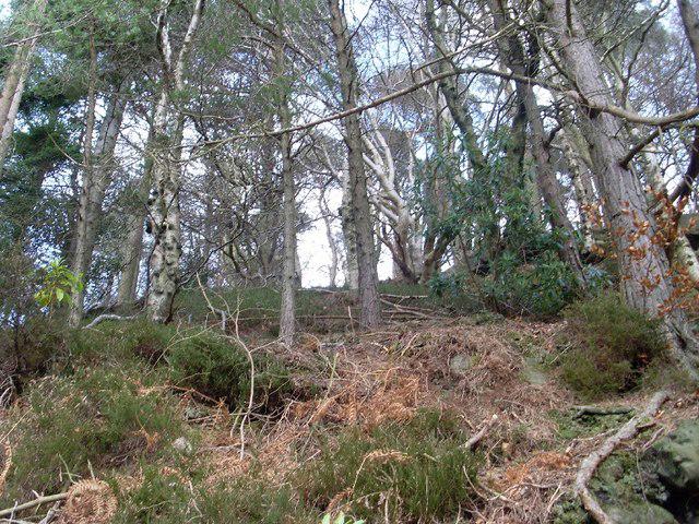 Photo could not load
NS5576 : Woods north of Mugdock Reservoir
Stephen Sweeney
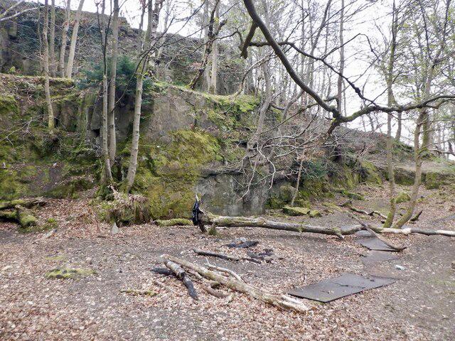 Photo could not load
NS5576 : Quarry, Craighorn
Richard Webb
Hill facts and local notes
Classifications
Elevation
139m
456 ft
Prominence
31m
Coordinates
55.9562, -4.3108
NS558761
OS Map
64
Explorer: 348
At the Summit
The summit features a small stone cairn, making it a perfect spot for a photo op or a bit of a breather. The views from here are pretty spectacular, so don't forget your camera!
Terrain & Geology
Primarily composed of sedimentary rock, with some areas of granite at the base. The diverse geology makes it a fascinating spot for amateur geologists.
Views & Scenery
From the summit, hikers can enjoy views of the Campsie Fells, the City of Glasgow, and, on a clear day, the distant peaks of the Southern Highlands.
History & Heritage
Name Origin
The name 'Mugdock' is thought to derive from the Gaelic 'Muc-dobha', meaning 'pig's hollow'.
Historical Significance
The hill is part of the historic and scenic Mugdock Country Park, showcasing the natural beauty and history of the region.
Getting There & Facilities
Parking
Mugdock Country Park has ample parking space at a nominal fee. Parking is well-signposted.
Public Transport
Accessible via local bus services from Milngavie. Check local timetables for details.
Nearby Facilities
Mugdock Country Park has picnic areas, toilets, and a café for refreshments. Perfect for a post-hike scone!
Safety Information
Known Hazards
- Beware of slippery paths after rains, and be cautious of sudden weather changes.
General Safety Tips
- Check weather conditions before setting out
- Carry appropriate clothing and equipment
- Let someone know your planned route
- Take a map, compass, and GPS device
- Carry emergency supplies: food, water, first aid kit, torch
Hills
Some common questions about the hills answered
Are there group walks up Mugdock Hill?
Many walkers use Walkmates to join or organise walks with others. You can check for group walks around Mugdock Hill through the maps
Are there other walkers around Mugdock Hill?
Activity varies by location and time, but Walkmates lets you see whether others have shared walks or shown interest in this area. Find other people through the walking friends search walking friends for Mugdock Hill search or of course create your own walk for Mugdock Hill
Can I organise a walk to Mugdock Hill?
Yes. If there aren’t any walks listed already, you can create a walk and make it available for others to join.
If you're signed up to Walkmates, you can create a walk to Mugdock Hill.
How do I find a walk up this hill?
There are often multiple ways to walk this hill, depending on experience and route preference. Walkmates helps you explore walks and routes that others have shared.
Can I suggest a new route up Mugdock Hill?
Yes. You can suggest or create routes to share with others. Walkmates focuses on the social side of walking, so routes are used to help people organise walks and explore areas together, rather than as detailed navigation tools or route libraries.
Other uses really appreciate knowledgeable walkers sharing their routes. Share your favourite route to Mugdock Hill here
The is an error or something incorrect about this hill. How do I let you know?
We always strive to keep the information on Walkmates as accurate as possible. If you find an error, please let us know through the contact form and we'll aim to correct it as quickly as possible
Community Discussion
Comments
Location
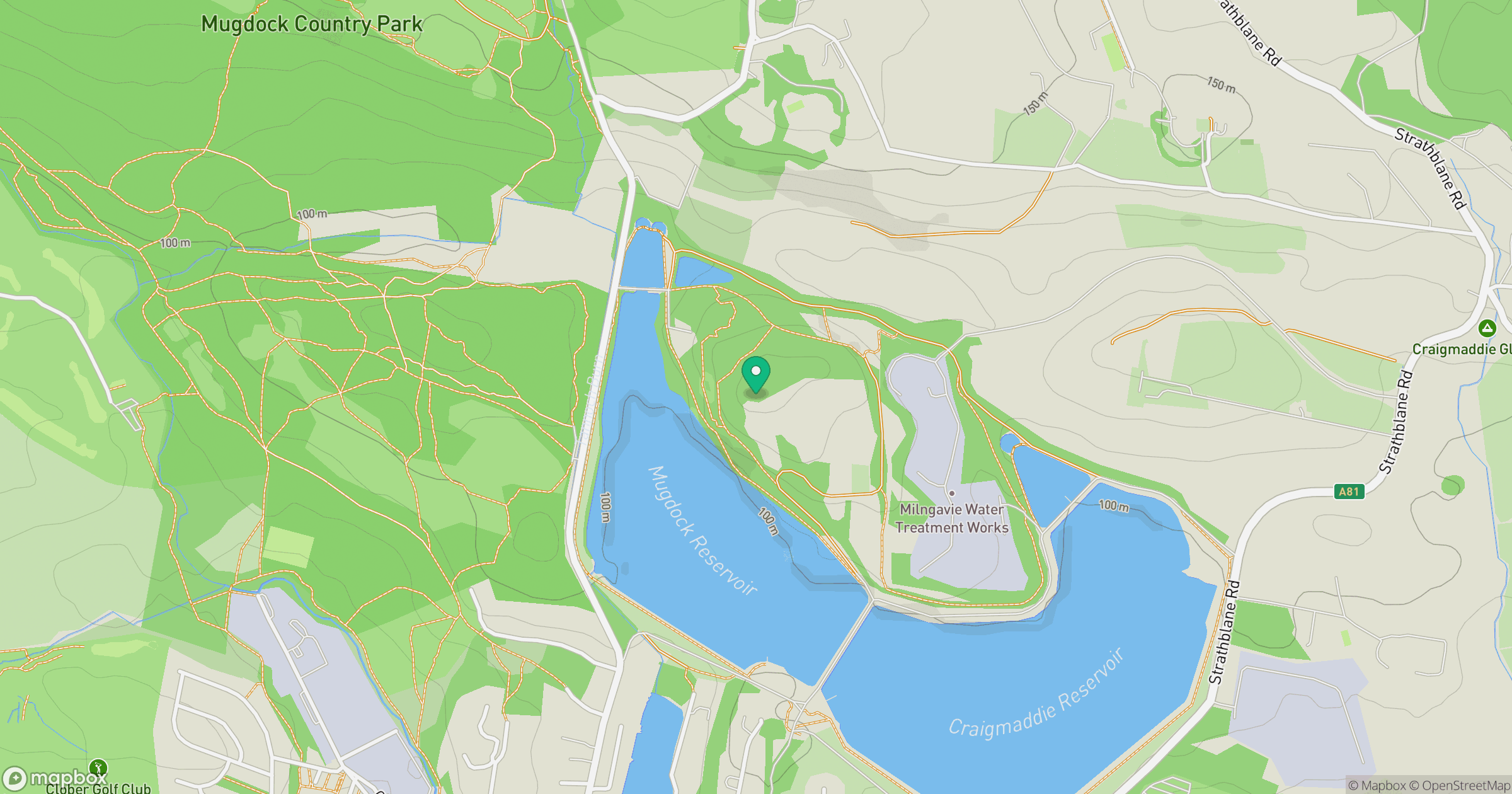
Grid reference: NS558761
View on OpenStreetMapOpens a map in a new tab, centred on the hill.


No comments yet. Be the first.