

Meall Doire Faid
Good walks are even better shared.
NH2279 : Hill slope with rock outcrop
Trevor Littlewood Photo source
Overview
Overview
Meall Doire Faid may not be the tallest in the Scottish Highlands, but what it lacks in height it makes up for in stunning views and charming trails. Standing proudly at 792 metres, this Marilyn offers accessible paths that reward hikers with panoramic vistas.
Geology
Composed primarily of granitic gneiss, this mountain tells a tale of geological transformations over the millennia. The interplay of tectonic forces has shaped the landscape, and if you look closely, you might spot some fascinating rock formations along the way.
Hiking Routes
One of the most popular routes to Meall Doire Faid is the Southwest Ridge Route. This pathway meanders through grassy slopes and rocky outcrops, culminating at the summit where a proud cairn awaits your arrival. With a distance of approximately 6.5 km, it can be comfortably tackled in about 2.5 hours, making it perfect for those who want to enjoy their day without feeling rushed.
Summit Features
Upon reaching the top, you'll be greeted by not just the cairn but also a viewfinder to help you identify the vast landscape. It’s a great spot to take a break and enjoy a picnic while soaking in the sights—just remember to share with the local birds who are sure to gather around!
Terrain and Hazards
Expect a mix of grassy slopes and rocky outcrops, perfect for the adventurous spirit. However, do be cautious of boggy patches that can add an unexpected twist to your trek. Weather in the Highlands can change faster than you can say 'Scottish summer', so always keep your raincoat handy.
Access and Facilities
You can easily access the mountain from a small parking area near NH214800. It’s free, but do arrive early during peak seasons to secure a spot. For public transport users, Drumnadrochit is your best bet—check the schedules as they can be a bit sparse.
Once you’ve conquered the mountain, reward yourself with a coffee and cake in one of the local cafes. The pastries are almost as legendary as the views!
Final Thoughts
Whether you're an experienced walker or looking for a gentle hill to summit, Meall Doire Faid is well worth the visit. It's a delightful escape, affording solace in nature, and perhaps a giggle when you finally spot a friendly otter or two—and if not, you'll certainly enjoy the company of the view!
Explore routes near Meall Doire Faid
Walks starting near this hill. Open a route to check its map, distance and full itinerary.
Beinn Eighe Lancaster Wreckage at Coire Mhic Fhearchair
View route
Fairy Lochs Liberator Wreckage Circuit
View route
Loch Migdale from Torroy: Spinningdale pinewood and loch shore walk
View route
Glen Affric: Coire Loch Woodland Trail
View route
Route planning notes
These notes describe possible approaches. Check a route's map and access information when planning your walk.
Southwest Ridge Route
A scenic and straightforward ascent along the southwest ridge offering beautiful views of the surrounding countryside.
Make a day of it, together
Find someone to share the walk with, or organise a day out along a route you like.
Photo Gallery
View all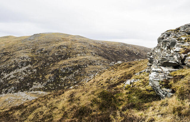 Photo could not load
NH2279 : Hill slope with rock outcrop
Trevor Littlewood
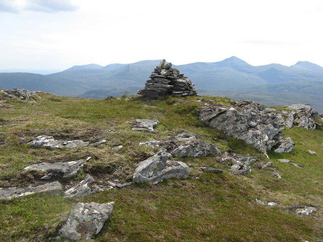 Photo could not load
NH2279 : Cairn, Meall Doire Fàid
Richard Webb
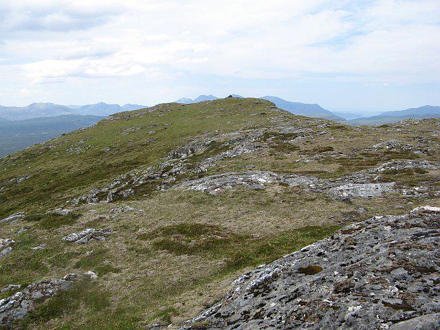 Photo could not load
NH2279 : Meall Doire Fàid
Richard Webb
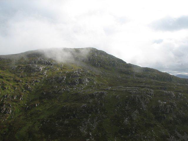 Photo could not load
NH2279 : Meall Doire Faid
Callum Black
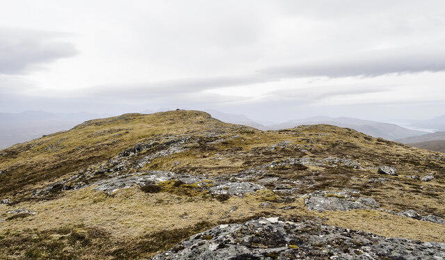 Photo could not load
NH2279 : Summit of Meall Doire Fàid
Trevor Littlewood
Hill facts and local notes
Classifications
Elevation
729m
2,391 ft
Prominence
175m
Coordinates
57.7672, -4.9928
NH220792
OS Map
20
Explorer: 436N 436S
At the Summit
The summit features a prominent cairn, which is a popular photo spot for hikers. There’s also a viewfinder that helps you identify the distant peaks—a sort of ‘you are here’ for adventurous souls.
Terrain & Geology
The mountain is primarily composed of granitic gneiss, which has formed through intense metamorphic processes. Its rocky outcrops tell the story of geological change over thousands of years.
Views & Scenery
From the summit, one can see the expansive views of Loch Ness, the Great Glen, and the distant peaks of the Monadhliath Mountains.
History & Heritage
Name Origin
The name 'Meall Doire Faid' translates to 'hill of the thicket of the otters', pointing to the wildlife that once thrived in the area.
Historical Significance
Meall Doire Faid is a relatively lesser-known peak, often overshadowed by more famous Munros, making it a hidden gem for those seeking solitude.
Getting There & Facilities
Parking
There is a small parking area at NH214800, which can accommodate several cars. Parking is free but can fill up during weekends.
Public Transport
The nearest bus stop is in the village of Drumnadrochit, approximately 12 km away, with occasional services connecting to Inverness.
Nearby Facilities
In Drumnadrochit, you can find cafes, shops, and public toilets. Be sure to indulge in some local pastries before your hike!
Safety Information
Known Hazards
- Watch for sudden changes in weather, especially in winter, as the conditions can turn from serene to severe. The terrain can also be slippery and challenging when wet.
General Safety Tips
- Check weather conditions before setting out
- Carry appropriate clothing and equipment
- Let someone know your planned route
- Take a map, compass, and GPS device
- Carry emergency supplies: food, water, first aid kit, torch
Hills
Some common questions about the hills answered
Are there group walks up Meall Doire Faid?
Many walkers use Walkmates to join or organise walks with others. You can check for group walks around Meall Doire Faid through the maps
Are there other walkers around Meall Doire Faid?
Activity varies by location and time, but Walkmates lets you see whether others have shared walks or shown interest in this area. Find other people through the walking friends search walking friends for Meall Doire Faid search or of course create your own walk for Meall Doire Faid
Can I organise a walk to Meall Doire Faid?
Yes. If there aren’t any walks listed already, you can create a walk and make it available for others to join.
If you're signed up to Walkmates, you can create a walk to Meall Doire Faid.
How do I find a walk up this hill?
There are often multiple ways to walk this hill, depending on experience and route preference. Walkmates helps you explore walks and routes that others have shared.
Can I suggest a new route up Meall Doire Faid?
Yes. You can suggest or create routes to share with others. Walkmates focuses on the social side of walking, so routes are used to help people organise walks and explore areas together, rather than as detailed navigation tools or route libraries.
Other uses really appreciate knowledgeable walkers sharing their routes. Share your favourite route to Meall Doire Faid here
The is an error or something incorrect about this hill. How do I let you know?
We always strive to keep the information on Walkmates as accurate as possible. If you find an error, please let us know through the contact form and we'll aim to correct it as quickly as possible
Community Discussion
Comments
Location
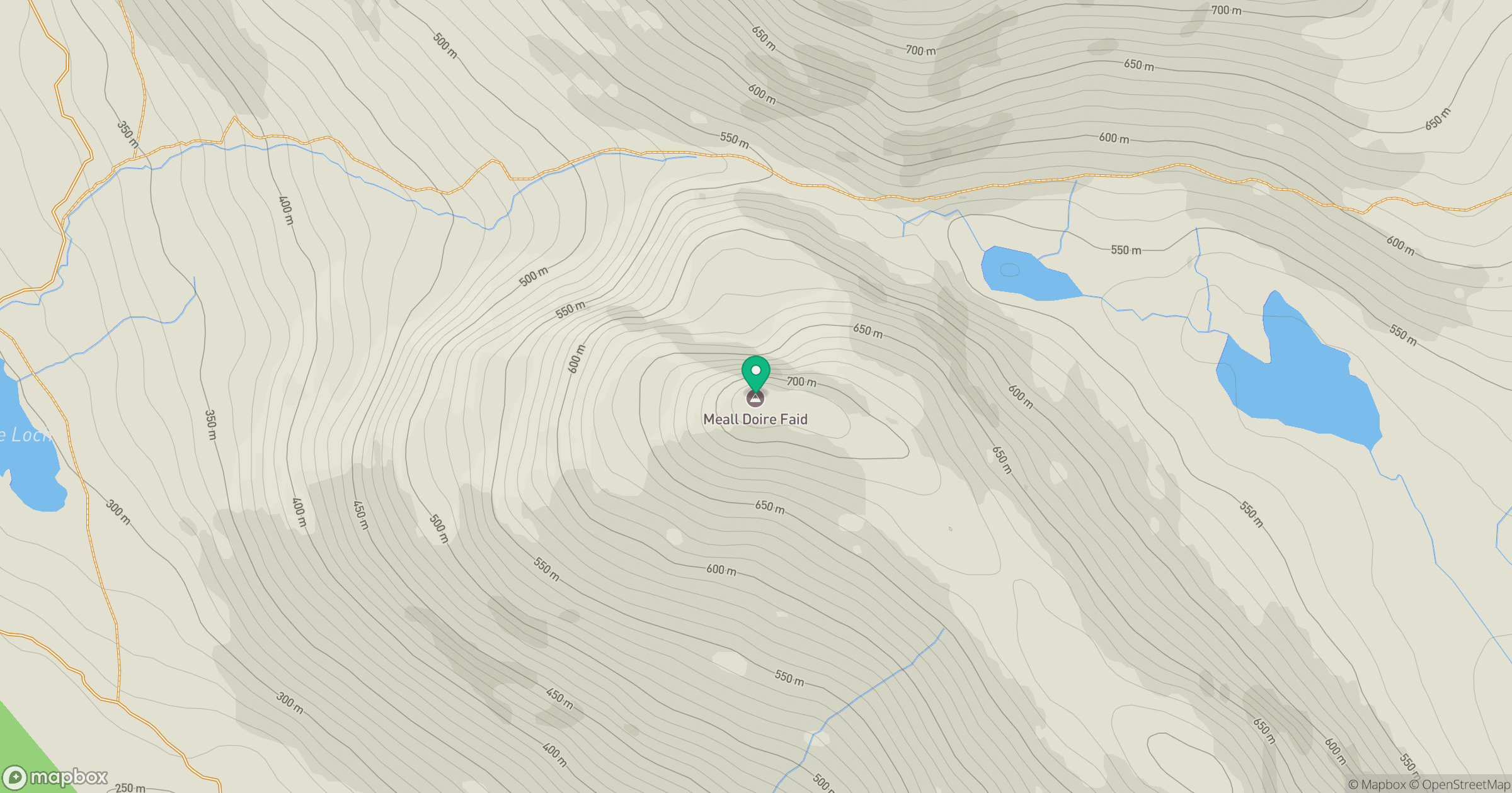
Grid reference: NH220792
View on OpenStreetMapOpens a map in a new tab, centred on the hill.
No comments yet. Be the first.