

Meall an t-Slugain
Good walks are even better shared.
Overview
Meall an t-Slugain
Overview
Nestled in the Scottish Highlands, Meall an t-Slugain is a splendid Munro standing at 843 meters. A regular in the itineraries of avid hillwalkers, this peak is known for both its natural beauty and intriguing geology.
Geology
The underlying rocks of Meall an t-Slugain are ancient schists and granitic gneisses, forming a fascinating tapestry of geological history. If you have an eye for rock formations, keep your camera ready—this mountain is a true natural art gallery!
Routes
A well-trodden path starts from the A939, winding its way up with moderate inclines. The 10.5 km round trip can be done leisurely in around 4 hours, making it a perfect half-day adventure for those with a moderate fitness level.
Terrain
Expect a mix of grassy slopes peppered with rocky outcrops. Be prepared for boggy patches that can add an element of surprise, especially in wetter months. Waterproof boots are a must unless you fancy a quick soak!
Summit Features
Upon reaching the summit, you’re greeted with a substantial cairn—a perfect spot to take a breather and perhaps ponder life's big questions, like whether or not to pack that extra sandwich next time.
Views
The panoramic views of the Cairngorms and Strathspey valley from the top are nothing short of spectacular. On a sunny day, the sight spreads out like a beautiful carpet, with Ben Nevis peeking out in the distance. Late spring and summer are ideal for enjoying these vistas; who doesn't love a good view with the heather in bloom?
Hazards
Despite its allure, ensuring safety is paramount. The weather can be notoriously capricious, changing on a dime. Mists and fog can roll in, and wet rocks can pose a challenge—never underestimate the Scottish climate!
Access
Access to Meall an t-Slugain is fairly straightforward. Parking is available at the roadside layby on the A939, but it does tend to get busy, so an early start is advisable. Grantown-on-Spey, the nearest town, offers various amenities including cafes for a hearty meal before or after your hike.
In summary, Meall an t-Slugain is a delightful destination for hikers looking to explore the enchanting terrains of the Scottish Highlands. Just be ready for whatever the weather brings!
Happy hiking!
Explore routes near Meall an t-Slugain
Public walks starting within 80 km of this hill. Nearby does not mean a route reaches the summit; check its map and access before setting out.
Loch Muick full circuit from Spittal of Glen Muick
View route
Cairngorms night walk and stargazing (event meeting)
View route
Cairngorms night walk and stargazing (event meeting)
View route
Cairngorms night walk and stargazing (event meeting)
View route
Route planning notes
These notes describe possible approaches, not verified navigable routes or permission to cross land. Check current paths, local access rules and conditions before setting out.
From the A939
A popular route that begins from the A939 road, providing a straightforward ascent with gentle slopes and occasional rocky sections.
Make a day of it, together
Find someone to share the walk with, or organise a day out along a route you like.
Photo Gallery
View all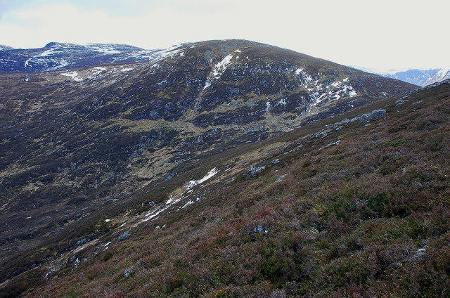 Photo could not load
NO1886 : Meall an t-Slugain
Jim Barton
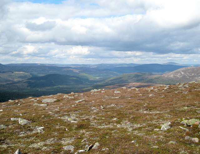 Photo could not load
NO1886 : Meall an t-Slugain
Lis Burke
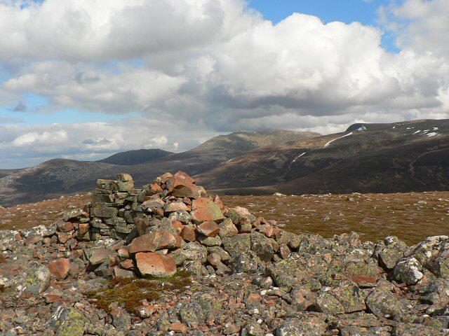 Photo could not load
NO1886 : Cairn on Meall an t-Slugain
Rob Burke
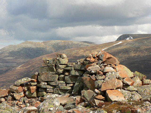 Photo could not load
NO1886 : Lochnagar from Meall an t-Slugain
Rob Burke
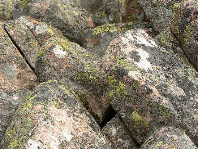 Photo could not load
NO1886 : Lichens on the summit cairn
Rob Burke
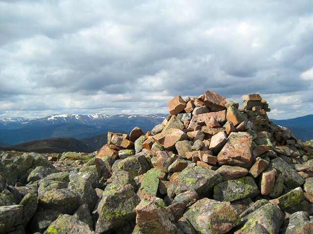 Photo could not load
NO1886 : Summit cairn
Lis Burke
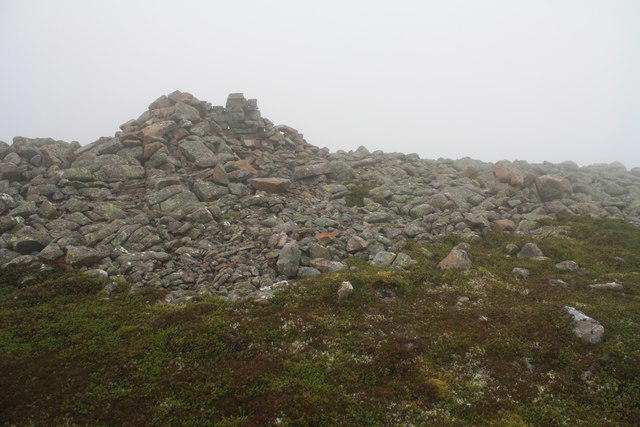 Photo could not load
NO1886 : Summit of Meall an t-Slugain
Colin Kinnear
Hill facts and local notes
Classifications
Elevation
847m
2,779 ft
Prominence
116m
Coordinates
56.9610, -3.3424
NO184863
OS Map
43
Explorer: OL52N OL53N 387N 388N
At the Summit
The summit of Meall an t-Slugain boasts a sizeable cairn, where hikers can take a moment to catch their breath and enjoy the view—if the weather gods are smiling!
Terrain & Geology
Meall an t-Slugain is primarily composed of ancient schists and granitic gneisses, which have been shaped by millennia of glacial activity. This gives the mountain a rugged structure and a stunning array of rock formations that are a treat for geology enthusiasts.
Views & Scenery
From the summit, enjoy breathtaking views of the surrounding peaks of the Cairngorms and the expansive Strathspey valley. On a clear day, the majestic Ben Nevis can be spotted in the distance.
History & Heritage
Name Origin
The name 'Meall an t-Slugain' translates from Gaelic as 'hill of the slug', possibly denoting something about the area's unique wildlife or local folklore.
Historical Significance
This Munro carries significant cultural importance for local enthusiasts and is often celebrated in Highland walking circles.
Getting There & Facilities
Check current local access restrictions, parking rules and transport timetables before travelling. These notes do not confirm public access to the summit.
Parking
There is a small layby on the A939 where you can park, but it fills up quickly on sunny weekends. Arrive early to snag a spot!
Public Transport
Regular bus services operate from nearby towns like Grantown-on-Spey, but a car is recommended for ease of access.
Nearby Facilities
While there are no facilities on the mountain, Grantown-on-Spey offers lovely cafes and public toilets—perfect for a pre or post-hike visit.
Safety Information
Known Hazards
- Watch for sudden weather changes common in the Highlands. Mists can roll in without warning, and slippery rocks can be a challenge, especially in wet conditions.
General Safety Tips
- Check weather conditions before setting out
- Carry appropriate clothing and equipment
- Let someone know your planned route
- Take a map, compass, and GPS device
- Carry emergency supplies: food, water, first aid kit, torch
Hills
Some common questions about the hills answered
Are there group walks up Meall an t-Slugain?
Many walkers use Walkmates to join or organise walks with others. You can check for group walks around Meall an t-Slugain through the maps
Are there other walkers around Meall an t-Slugain?
Activity varies by location and time, but Walkmates lets you see whether others have shared walks or shown interest in this area. Find other people through the walking friends search walking friends for Meall an t-Slugain search or of course create your own walk for Meall an t-Slugain
Can I organise a walk to Meall an t-Slugain?
Yes. If there aren’t any walks listed already, you can create a walk and make it available for others to join.
If you're signed up to Walkmates, you can create a walk to Meall an t-Slugain.
How do I find a walk up this hill?
There are often multiple ways to walk this hill, depending on experience and route preference. Walkmates helps you explore walks and routes that others have shared.
Can I suggest a new route up Meall an t-Slugain?
Yes. You can suggest or create routes to share with others. Walkmates focuses on the social side of walking, so routes are used to help people organise walks and explore areas together, rather than as detailed navigation tools or route libraries.
Other uses really appreciate knowledgeable walkers sharing their routes. Share your favourite route to Meall an t-Slugain here
The is an error or something incorrect about this hill. How do I let you know?
We always strive to keep the information on Walkmates as accurate as possible. If you find an error, please let us know through the contact form and we'll aim to correct it as quickly as possible
Community Discussion
Comments
Location
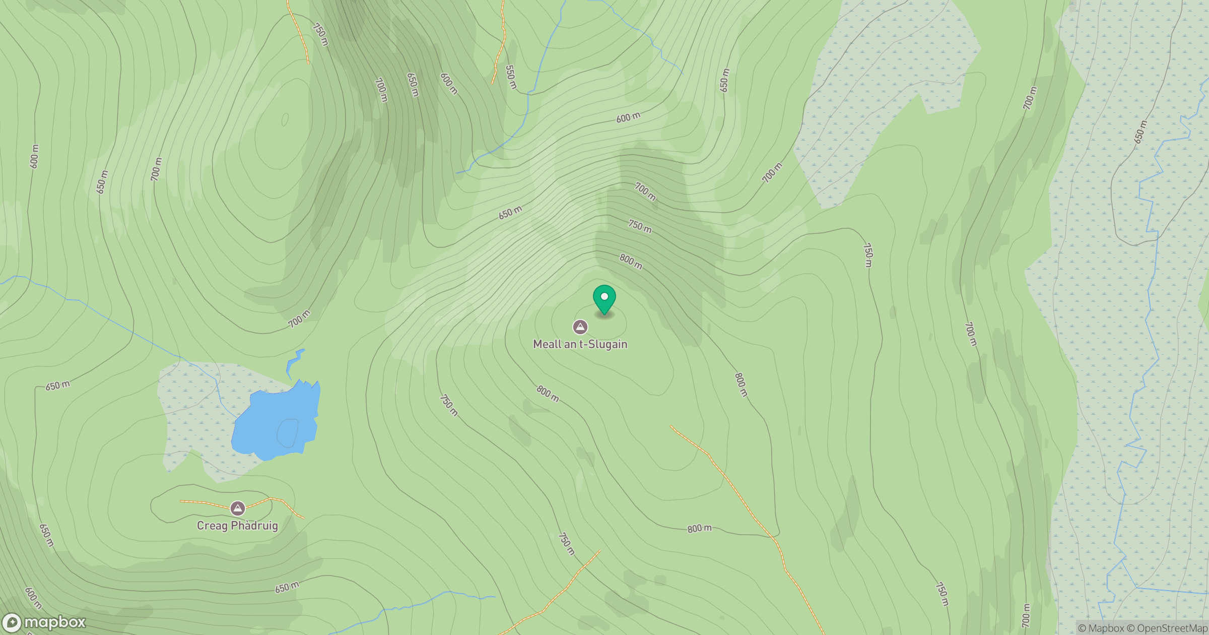
Grid reference: NO184863
View on OpenStreetMapOpens a map in a new tab, centred on the hill.
Hills within 30 km
Straight-line distance, not a walking route or confirmation of access.
Lochnagar - Cac Carn Beag
1,156m
Ben Avon - Leabaidh an Daimh Bhuidhe
1,172m
Driesh
948m
Bynack More
1,090m
Beinn Mheadhoin
1,183m
No comments yet. Be the first.