

Lucklaw Hill
Good walks are even better shared.
Overview
Lucklaw Hill
Lucklaw Hill is a delightful Marilyn nestled in the heart of Eastern Fife, just waiting to be explored. Standing at 256 meters, it's a perfect spot for those seeking a gentle adventure rather than an extreme challenge.
Geology
The hill's geological foundation of Old Red Sandstone gives it character and a flourishing environment that supports various flora and fauna.
Routes
The most popular route is the Lucklaw Hill Loop, starting from Clatto. This circuit spans about 4.5 km and takes around 1.5 hours to complete. It's an easy trek, making it family-friendly and an excellent choice for a relaxing day out. Just remember to keep your eyes peeled for keen wildlife enthusiasts!
Summit Features
Upon reaching the summit, you'll be greeted by a trig point marking the highest point. It’s a fine spot to catch your breath and appreciate the surrounding landscape—whether you're laughing at a fellow hiker's attempts at a selfie or simply enjoying the view.
Terrain Type
The terrain consists mainly of grassy stretches with a few rocky areas. It’s generally easy-going, but do mind the mushy spots after rain. Who knew that every hill needed a bit of character?
Views
The summit rewards hikers with stunning views; on clear days, the Firth of Tay shimmers in the distance and the rolling hills create a patchwork of colours. The best times to take in this natural beauty are during the vibrant spring or the crisp autumn, when everything seems a touch more golden.
Hazards
While Lucklaw Hill is manageable for most, be cautious of muddy patches, especially after a rain shower. A good pair of boots may save you from an unplanned mud bath!
Nearby Summits
For those looking to extend their adventures, nearby summits include Bennachie and East Lomond Hill, both offering unique hiking experiences and stunning views of their own.
Access
Getting there is a breeze! Parking is available for free near Clatto, just 1 km from the trailhead. If you're relying on public transport, several local bus services run to Clatto from both Cupar and Dundee.
Facilities
Once you've worked up an appetite, you might want to head back to the village for a bite. There’s a small shop and café where you can refuel and share tales of your adventures.
History
The name 'Lucklaw' translates to ‘hill of the grove,’ which reflects its historic significance for local communities. This charming hill was more than just a landmark; it was a hub of social interaction in times gone by.
In conclusion, whether you're a seasoned hiker or merely craving a bit of fresh air, Lucklaw Hill is not to be missed. So lace up those boots and enjoy what this delightful hill has to offer!
Don’t forget your camera; the only thing better than a spectacular view is sharing it with others!
Explore routes near Lucklaw Hill
Public walks starting within 80 km of this hill. Nearby does not mean a route reaches the summit; check its map and access before setting out.
Tentsmuir Forest: Ice House Trail
View route
Fife Pilgrim Way: Markinch to Ceres
View route
Club outing: Auchnafree Hill (shared-car departure)
View route
Club outing: Lomond Hills (shared-car departure)
View route
Route planning notes
These notes describe possible approaches, not verified navigable routes or permission to cross land. Check current paths, local access rules and conditions before setting out.
Lucklaw Hill Loop
A pleasant loop starting from the nearby village of Clatto, traversing through gentle hills and lush landscapes.
Make a day of it, together
Find someone to share the walk with, or organise a day out along a route you like.
Photo Gallery
View all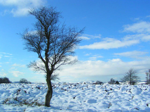 Photo could not load
NO4121 : Lonesome tree on Lucklawhill, above Balmullo.
Norrie Adamson
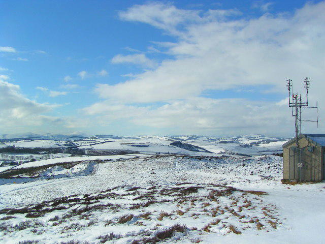 Photo could not load
NO4121 : Looking west from the top of Lucklawhill.
Norrie Adamson
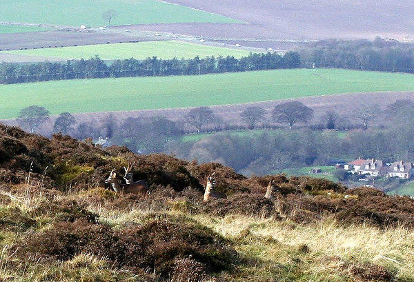 Photo could not load
NO4121 : On Lucklaw Hill
John Brailsford
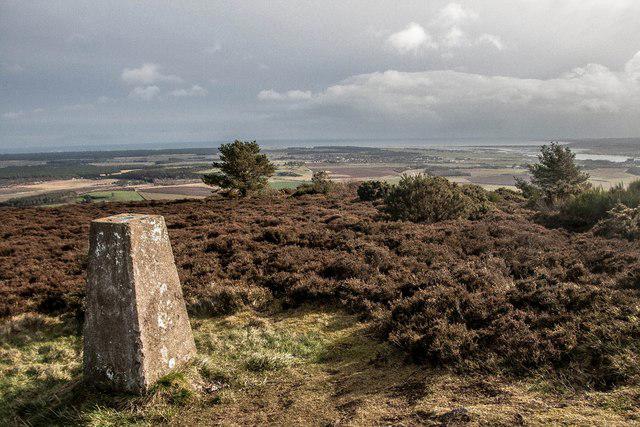 Photo could not load
NO4121 : Lucklaw Hill trigpoint
Becky Williamson
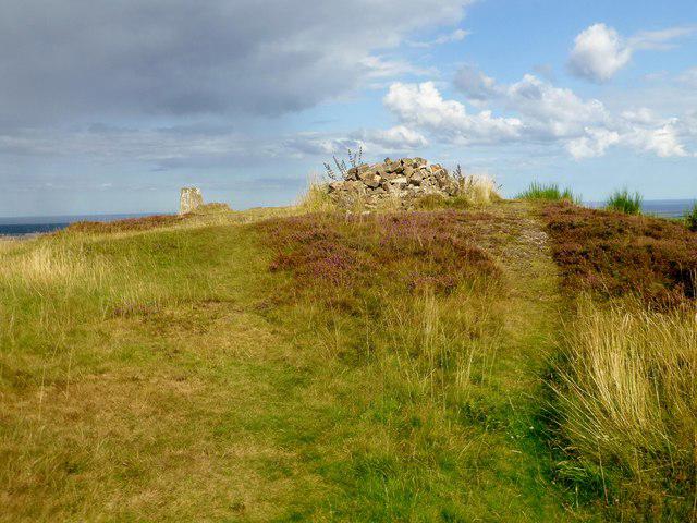 Photo could not load
NO4121 : Lucklaw Hill
Rude Health
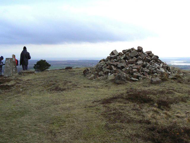 Photo could not load
NO4121 : Prosaic cairn
James Allan
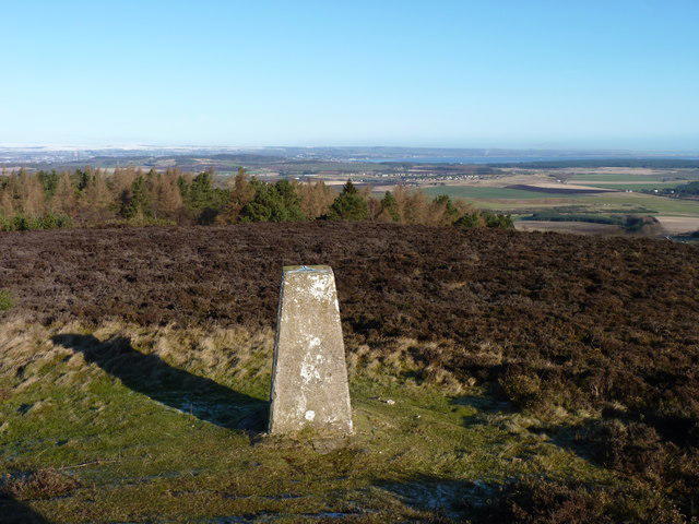 Photo could not load
NO4121 : Lucklaw trig point
James Allan
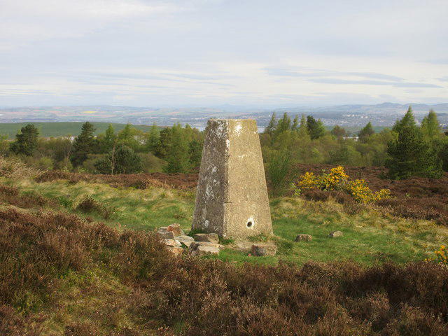 Photo could not load
NO4121 : Lucklaw Hill trig pillar
Scott Cormie
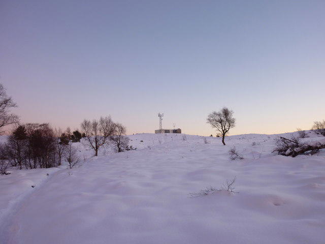 Photo could not load
NO4121 : Approaching the summit of Lucklaw Hill
I A Smellie
Hill facts and local notes
Classifications
Elevation
190m
623 ft
Prominence
117m
Coordinates
56.3833, -2.9426
NO418216
OS Map
54 59
Explorer: 371N
At the Summit
The summit boasts a small trig point and a delightful grassy plateau perfect for a quiet picnic or a well-deserved rest after the climb.
Terrain & Geology
Lucklaw Hill is primarily composed of Old Red Sandstone, which dates back to the Devonian period. Its geological composition provides a unique landscape that contributes to the region's ecological diversity.
Views & Scenery
On a clear day, hikers can see the picturesque landscape of Fife, including the Firth of Tay and the rolling hills beyond.
History & Heritage
Name Origin
The name 'Lucklaw' is believed to derive from the Scots Gaelic words meaning ‘hill of the grove.’
Historical Significance
Historically, Lucklaw Hill has been an important landmark for local communities, often used as a meeting point and for agricultural activities.
Getting There & Facilities
Check current local access restrictions, parking rules and transport timetables before travelling. These notes do not confirm public access to the summit.
Parking
Free parking available at Clatto, about 1 km from the trailhead.
Public Transport
The nearest bus stop is in the village of Clatto, serviced by local routes from Cupar and Dundee.
Nearby Facilities
There are no facilities on the hill, but the village of Clatto offers some basic amenities including a small shop and café.
Safety Information
Known Hazards
- Muddy sections can appear after heavy rain; moderate caution is advised, especially in winter.
General Safety Tips
- Check weather conditions before setting out
- Carry appropriate clothing and equipment
- Let someone know your planned route
- Take a map, compass, and GPS device
- Carry emergency supplies: food, water, first aid kit, torch
Hills
Some common questions about the hills answered
Are there group walks up Lucklaw Hill?
Many walkers use Walkmates to join or organise walks with others. You can check for group walks around Lucklaw Hill through the maps
Are there other walkers around Lucklaw Hill?
Activity varies by location and time, but Walkmates lets you see whether others have shared walks or shown interest in this area. Find other people through the walking friends search walking friends for Lucklaw Hill search or of course create your own walk for Lucklaw Hill
Can I organise a walk to Lucklaw Hill?
Yes. If there aren’t any walks listed already, you can create a walk and make it available for others to join.
If you're signed up to Walkmates, you can create a walk to Lucklaw Hill.
How do I find a walk up this hill?
There are often multiple ways to walk this hill, depending on experience and route preference. Walkmates helps you explore walks and routes that others have shared.
Can I suggest a new route up Lucklaw Hill?
Yes. You can suggest or create routes to share with others. Walkmates focuses on the social side of walking, so routes are used to help people organise walks and explore areas together, rather than as detailed navigation tools or route libraries.
Other uses really appreciate knowledgeable walkers sharing their routes. Share your favourite route to Lucklaw Hill here
The is an error or something incorrect about this hill. How do I let you know?
We always strive to keep the information on Walkmates as accurate as possible. If you find an error, please let us know through the contact form and we'll aim to correct it as quickly as possible
Community Discussion
Comments
Location
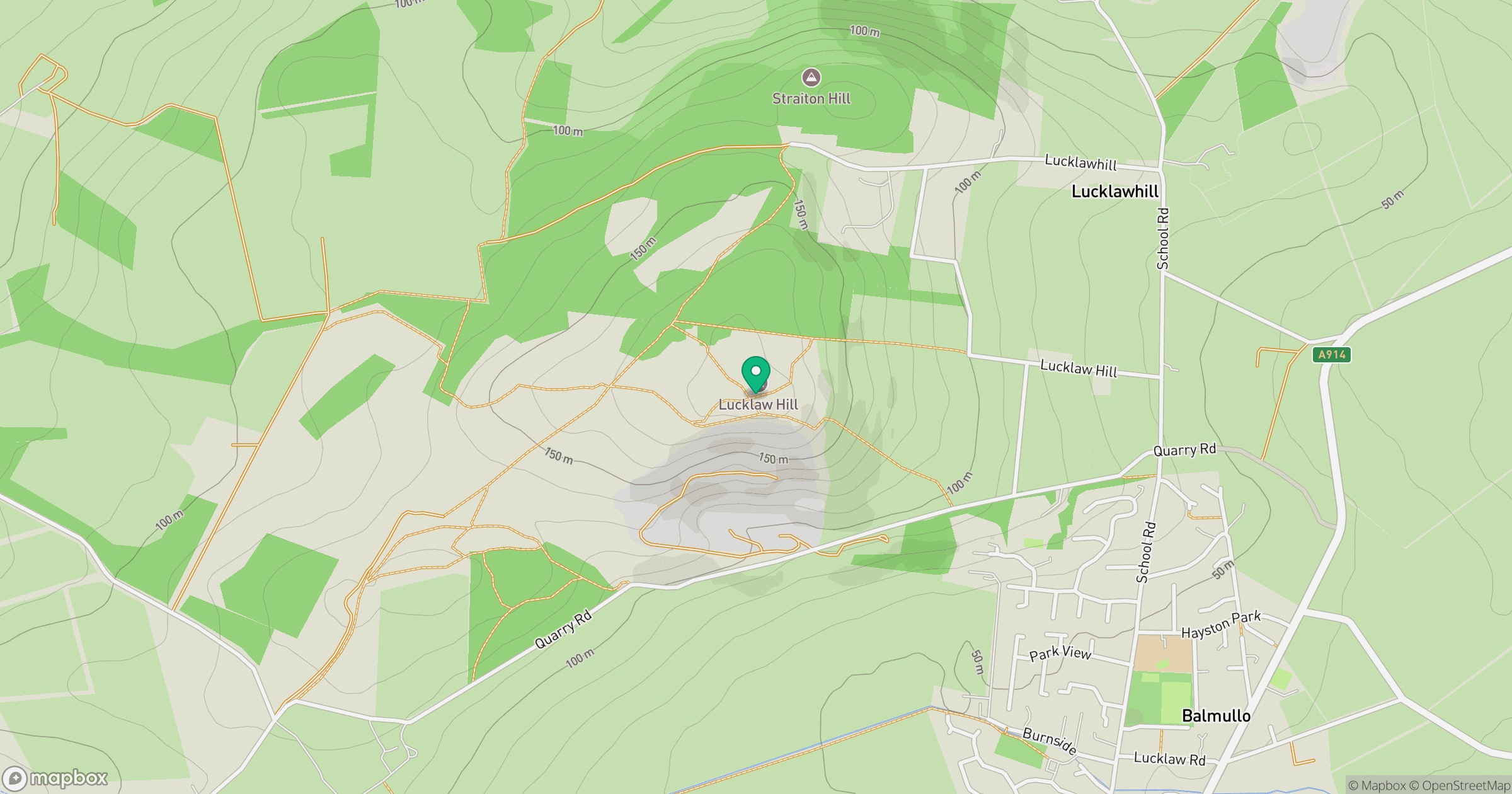
Grid reference: NO418216
View on OpenStreetMapOpens a map in a new tab, centred on the hill.
Hills within 30 km
Straight-line distance, not a walking route or confirmation of access.
No comments yet. Be the first.