

Lundie Craigs
Good walks are even better shared.
Overview
Lundie Craigs
Lundie Craigs, standing proud at 405 meters, is a notable Marilyn in the heart of the Scottish Highlands. It serves as a splendid destination for walkers and outdoor enthusiasts seeking a moderately challenging day out in nature.
Geology
The mountain is primarily composed of Old Red Sandstone, distinguished by its reddish tones and layered sedimentary features. These rocks tell a story of geological processes spanning millions of years, making the Craigs not only a visual delight but also a geological treasure trove.
Routes
The most popular route starts from Lundie Village, taking you through lush scenery before ascending towards the summit. This route covers about 6.5 km and typically takes around two and a half hours to complete, depending on your pace (and the number of scenic photos you're likely to stop for). While the route is moderate, be cautious of slippery sections if the weather has been less than ideal.
Summit Features
Upon reaching the top, you’ll be greeted by a solid trig point which, unlike your last gym session, won’t be moving anywhere fast! Alongside it sits a charming stone cairn, perfect for that classic summit selfie.
Terrain
The terrain consists of grassy patches interspersed with rocky outcrops, offering a varied walking experience that keeps you on your toes (quite literally!).
Views
The views from Lundie Craigs are nothing short of breathtaking. Clear days reward you with vistas of the Sidlaw Hills stretching in all directions. Look closely and you might just catch a glimpse of the Tay Valley or even the far-off highlands poking through the horizon. The best seasons for these spectacular sights are undoubtedly spring and early autumn, when visibility is at its peak.
Hazards
As with any outdoor adventure in the highlands, keep an eye on the weather. Conditions can shift more rapidly than your average British conversation about the rain. Slippery paths when wet can pose a challenge, so sturdy footwear is recommended.
Access
Getting to Lundie Craigs is straightforward. You can park in a small parking area in Lundie Village, just a stone's throw from your starting point. If you prefer public transport, buses run from Dundee, approximately 10 km south, where you can also locate facilities to prepare for your hike.
Facilities
While Lundie itself has limited amenities, Dundee offers cafes and public toilets, making it worth a quick stop before you head into the wild.
History
The name 'Crails' relates back to Old Norse, meaning 'round hill,' perfectly apt for this scenic spot. Historically, Lundie Craigs has been a witness to countless hikers and nature enthusiasts drawn to its beauty, intertwined with fascinating local folklore.
Conclusion
In summary, Lundie Craigs is a must-visit for anyone seeking a peaceful and picturesque hiking experience amidst the stunning landscapes of Scotland. Just remember: when on the mountain, the only thing to fear is forgetting your camera!
Explore routes near Lundie Craigs
Public walks starting within 80 km of this hill. Nearby does not mean a route reaches the summit; check its map and access before setting out.
Unled club outing: Glenesk (coach departure)
View route
Unled club outing: Xmas Walk - Bankfoot - Dunkeld (coach departure)
View route
Unled club outing: Angus coastal walk (coach departure)
View route
Unled club outing: Glen Moy/Glenogil (shared-car departure)
View route
Route planning notes
These notes describe possible approaches, not verified navigable routes or permission to cross land. Check current paths, local access rules and conditions before setting out.
From Lundie Village
A popular route leading directly from Lundie Village to the summit, featuring scenic views and manageable terrain.
Make a day of it, together
Find someone to share the walk with, or organise a day out along a route you like.
Photo Gallery
View all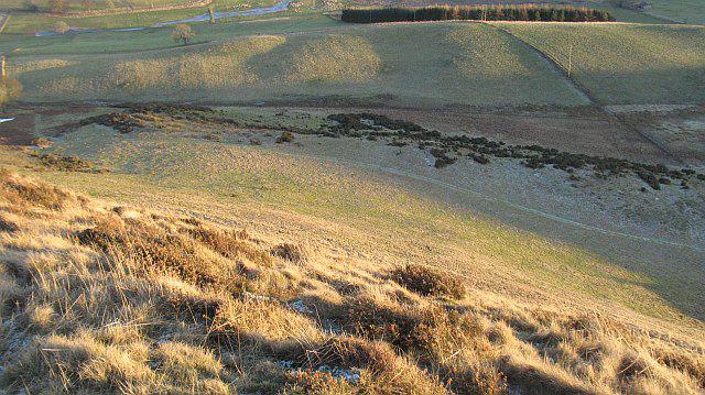 Photo could not load
NO2837 : Rough grazing, Wester Keith
Richard Webb
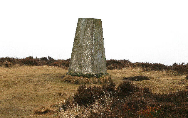 Photo could not load
NO2837 : Trig Point on Lundie Craigs
Ian Cleland
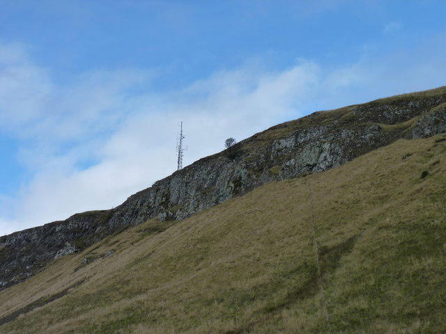 Photo could not load
NO2837 : Lundie Craigs
James Allan
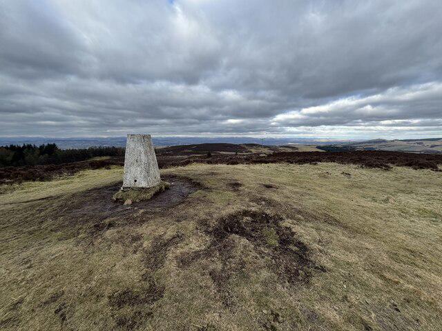 Photo could not load
NO2837 : Westerkeith Hill Summit
Ralph Greig
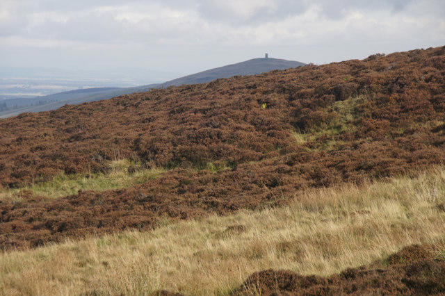 Photo could not load
NO2837 : View to Kinpurney Hill from Lundie Craigs
Mike Pennington
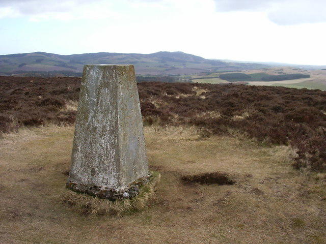 Photo could not load
NO2837 : Westerkeith Hill trig
Iain Macaulay
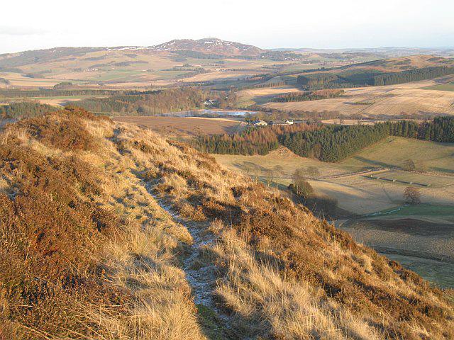 Photo could not load
NO2837 : Path, Lundie Craigs
Richard Webb
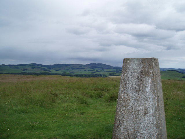 Photo could not load
NO2837 : Trig Point on Lundie Craigs
Douglas Nelson
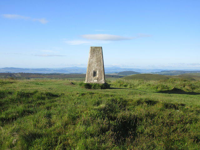 Photo could not load
NO2837 : Westerkeith Hill Trig Pillar
Scott Cormie
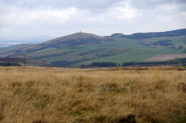
NO2837 : View to Kinpurney Hill from Lundie Craigs
Mike Pennington
Hill facts and local notes
Classifications
Elevation
353m
1,158 ft
Prominence
135m
Coordinates
56.5269, -3.1704
NO281378
OS Map
53
Explorer: 380E 380W
At the Summit
The summit is adorned with a well-established trig point and a small stone cairn, which has seen many weary hikers grateful to have made it.
Terrain & Geology
Lundie Craigs is primarily composed of Old Red Sandstone, renowned for its reddish hues and sedimentary layers. The rock forms an impressive backdrop and provides a unique insight into the area's geological history.
Views & Scenery
On clear days, you can enjoy stunning views of the Sidlaw Hills, the Tay Valley, and even glimpses of distant mountains in the Highlands.
History & Heritage
Name Origin
The name 'Crails' is thought to be derived from the Old Norse 'kringla', meaning 'round hill'.
Historical Significance
The area has historical significance due to its proximity to ancient settlements and local folklore related to the nearby hills.
Getting There & Facilities
Check current local access restrictions, parking rules and transport timetables before travelling. These notes do not confirm public access to the summit.
Parking
There is a small parking area in Lundie Village, just a short walk from the trailhead.
Public Transport
Bus services run from Dundee to Lundie. Check local schedules for updates.
Nearby Facilities
While specific facilities are limited in Lundie, you can find cafes and public toilets in Dundee before setting out.
Safety Information
Known Hazards
- Steep sections can be slippery when wet, and weather can change rapidly in the area.
General Safety Tips
- Check weather conditions before setting out
- Carry appropriate clothing and equipment
- Let someone know your planned route
- Take a map, compass, and GPS device
- Carry emergency supplies: food, water, first aid kit, torch
Hills
Some common questions about the hills answered
Are there group walks up Lundie Craigs?
Many walkers use Walkmates to join or organise walks with others. You can check for group walks around Lundie Craigs through the maps
Are there other walkers around Lundie Craigs?
Activity varies by location and time, but Walkmates lets you see whether others have shared walks or shown interest in this area. Find other people through the walking friends search walking friends for Lundie Craigs search or of course create your own walk for Lundie Craigs
Can I organise a walk to Lundie Craigs?
Yes. If there aren’t any walks listed already, you can create a walk and make it available for others to join.
If you're signed up to Walkmates, you can create a walk to Lundie Craigs.
How do I find a walk up this hill?
There are often multiple ways to walk this hill, depending on experience and route preference. Walkmates helps you explore walks and routes that others have shared.
Can I suggest a new route up Lundie Craigs?
Yes. You can suggest or create routes to share with others. Walkmates focuses on the social side of walking, so routes are used to help people organise walks and explore areas together, rather than as detailed navigation tools or route libraries.
Other uses really appreciate knowledgeable walkers sharing their routes. Share your favourite route to Lundie Craigs here
The is an error or something incorrect about this hill. How do I let you know?
We always strive to keep the information on Walkmates as accurate as possible. If you find an error, please let us know through the contact form and we'll aim to correct it as quickly as possible
Community Discussion
Comments
Location
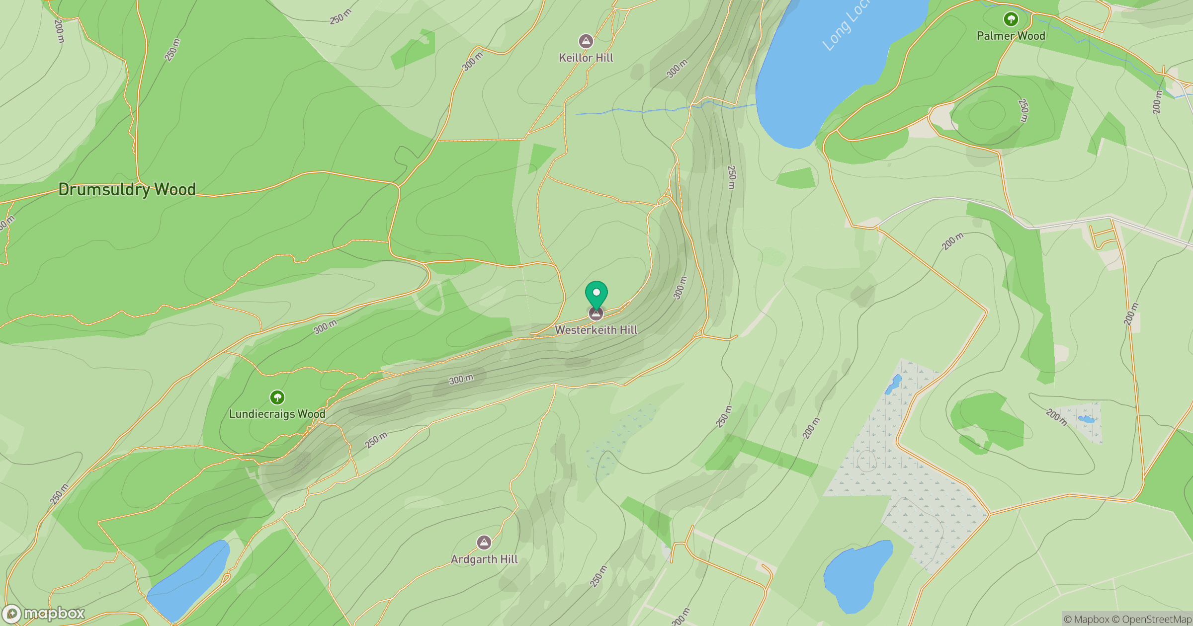
Grid reference: NO281378
View on OpenStreetMapOpens a map in a new tab, centred on the hill.
Hills within 30 km
Straight-line distance, not a walking route or confirmation of access.
No comments yet. Be the first.