

Little Loughrigg
Good walks are even better shared.
NY3403 : Deer in woodland
DS Pugh Photo source
Overview
Little Loughrigg: A Hiker's Delight
Little Loughrigg, standing at 335 meters, may not be the tallest peak in the Lake District, but it certainly packs a punch when it comes to scenic beauty. Nestled near Ambleside, it offers an accessible adventure suitable for families, beginners, and seasoned trekkers alike.
Geology
Little Loughrigg's composition of Skiddaw Slate showcases a fascinating geological history. The sedimentary and volcanic rocks hold stories from ancient seas and fiery eruptions that created the very landscapes we cherish today.
Routes
The Loughrigg Fell Walk is a popular choice, offering a circular route that boasts magnificent views. Clocking in at around 6.5 km, it typically takes about 2.5 hours to complete and is rated moderate in difficulty. Perfect for those looking to stretch their legs and their lungs!
Summit Features
At the summit, you'll find a humble cairn, an ideal spot to soak in the surroundings or to sit down for that all-important snack break. Pro tip: the best sandwiches taste even better at altitude!
Terrain
Expect a mix of grassy patches interspersed with rocky outcrops. It’s not too tricky, making it a great place for a pleasant stroll or a family outing.
Views
The views from Little Loughrigg are nothing short of spectacular. To the south lies the shimmering Windermere, while the magnificent Coniston Fells raise their heads proudly to the west. Don’t forget your camera, or you might end up telling your mates unbelievable tales of the sights you 'saw'.
Best Seasons
Spring and summer boast the best conditions and views, while autumn provides a beautiful natural carpet of colours.
Hazards
Take care on the paths as they can be slippery after rain; loose stones can be a challenge too. As always in the mountains, be ready for changeable weather!
Access
Little Loughrigg is easily accessible from Ambleside, where parking can be found at the White Moss car park (don't forget your change!). Public transport options are also handy with regular buses from Windermere and Keswick.
Nearby Summits
Nearby, you'll find Loughrigg Fell and Glaramara, both excellent options for further exploration should you feel adventurous!
Facilities
Public toilets are available in Ambleside, where you can also satisfy your post-hike cravings at one of the many welcoming cafes offering a well-deserved cup of coffee.
History
The mountain's name, rooted in its stature, and its accessibility has made it a beloved spot for enthusiasts for years. Little Loughrigg invites both locals and visitors alike to explore its charm.
So grab your boots, pack a sandwich, and make your way to Little Loughrigg; adventure awaits!
Explore routes near Little Loughrigg
Walks starting near this hill. Open a route to check its map, distance and full itinerary.
Tarn Hows Fast Route
View route
Bow Fell from Langdale
View route
Coniston to Tarn Hows: Monk Coniston Gardens and Woodland Circuit
View route
Great Carrs Halifax Wreckage from Wrynose Pass
View route
Route planning notes
These notes describe possible approaches. Check a route's map and access information when planning your walk.
Loughrigg Fell Walk
A delightful circular route starting from Ambleside, taking in both Loughrigg and Little Loughrigg, with stunning views throughout.
Make a day of it, together
Find someone to share the walk with, or organise a day out along a route you like.
Photo Gallery
View all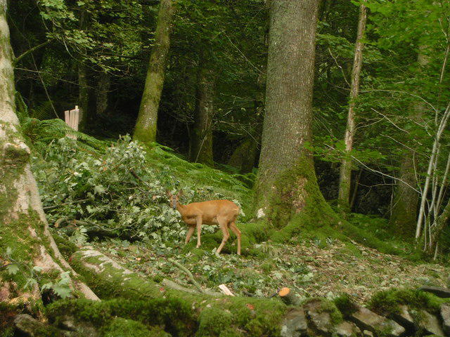 Photo could not load
NY3403 : Deer in woodland
DS Pugh
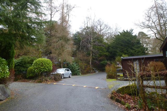 Photo could not load
NY3403 : Neaum Crag estate
DS Pugh
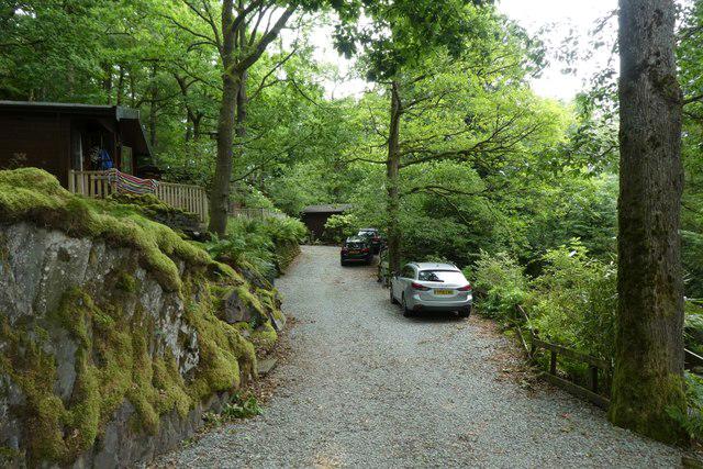 Photo could not load
NY3403 : Holiday homes at Neaum Crag
DS Pugh
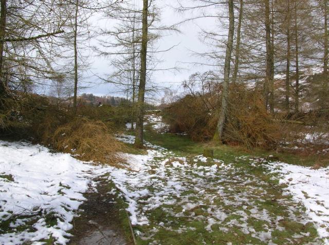 Photo could not load
NY3403 : Fallen Larches
DS Pugh
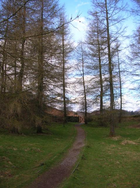 Photo could not load
NY3403 : Through the larches to Neaum Crag
DS Pugh
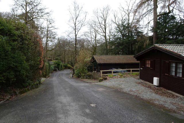 Photo could not load
NY3403 : Fisher and Holehird Tarns
DS Pugh
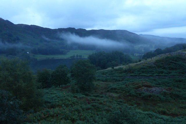 Photo could not load
NY3404 : Low cloud by Little Loughrigg
DS Pugh
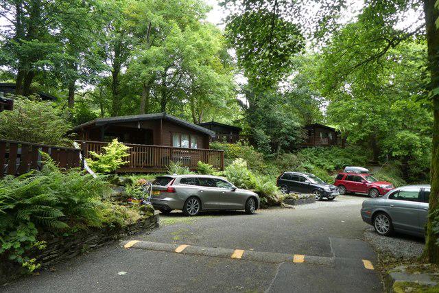 Photo could not load
NY3403 : Log cabins at Neaum Crag
DS Pugh
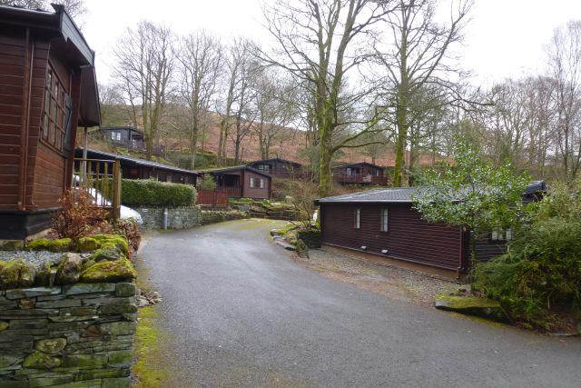 Photo could not load
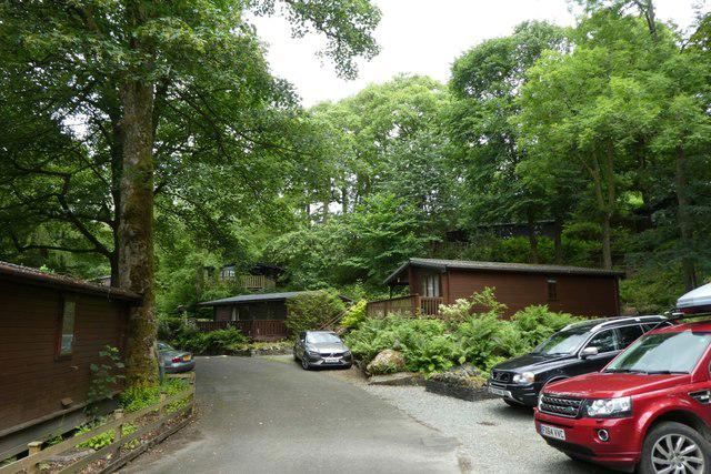
NY3403 : Log cabins
DS Pugh
NY3403 : Holiday homes at Neaum Crag
DS Pugh
Hill facts and local notes
Classifications
Elevation
155m
509 ft
Prominence
43m
Coordinates
54.4268, -3.0129
NY343039
OS Map
90
Explorer: OL7N
At the Summit
The summit features a modest cairn that provides a perfect spot to sit and contemplate the universe... or just enjoy a well-deserved sandwich.
Terrain & Geology
Predominantly composed of Skiddaw Slate, Little Loughrigg displays the geological history of the region, featuring both sedimentary and volcanic rock formations that tell tales of ancient seas and fiery eruptions.
Views & Scenery
From the summit, you can see Windermere to the south, the Coniston Fells to the west, and the majestic Langdale Pikes to the north. Don’t forget your camera – it’s a sight for sore eyes!
History & Heritage
Name Origin
The name Little Loughrigg reflects its smaller stature compared to its neighbouring fells, where 'lough' relates to the nearby lakes.
Historical Significance
Little Loughrigg has been a popular walking destination for decades, providing easy access to beautiful landscapes and a great introduction to the fells for novice hikers.
Getting There & Facilities
Parking
There is ample parking available at the White Moss car park near Ambleside. Remember to have some change for the machines!
Public Transport
Frequent buses run to Ambleside from Windermere and Keswick, making it relatively easy to reach without a vehicle.
Nearby Facilities
Public toilets can be found in Ambleside, and the town also boasts several cafes perfect for grabbing a coffee or a slice of cake before or after your adventure.
Safety Information
Known Hazards
- Be wary of wet and slippery paths, particularly after rain. Also, watch for sudden changes in weather typical of mountain areas.
General Safety Tips
- Check weather conditions before setting out
- Carry appropriate clothing and equipment
- Let someone know your planned route
- Take a map, compass, and GPS device
- Carry emergency supplies: food, water, first aid kit, torch
Hills
Some common questions about the hills answered
Are there group walks up Little Loughrigg?
Many walkers use Walkmates to join or organise walks with others. You can check for group walks around Little Loughrigg through the maps
Are there other walkers around Little Loughrigg?
Activity varies by location and time, but Walkmates lets you see whether others have shared walks or shown interest in this area. Find other people through the walking friends search walking friends for Little Loughrigg search or of course create your own walk for Little Loughrigg
Can I organise a walk to Little Loughrigg?
Yes. If there aren’t any walks listed already, you can create a walk and make it available for others to join.
If you're signed up to Walkmates, you can create a walk to Little Loughrigg.
How do I find a walk up this hill?
There are often multiple ways to walk this hill, depending on experience and route preference. Walkmates helps you explore walks and routes that others have shared.
Can I suggest a new route up Little Loughrigg?
Yes. You can suggest or create routes to share with others. Walkmates focuses on the social side of walking, so routes are used to help people organise walks and explore areas together, rather than as detailed navigation tools or route libraries.
Other uses really appreciate knowledgeable walkers sharing their routes. Share your favourite route to Little Loughrigg here
The is an error or something incorrect about this hill. How do I let you know?
We always strive to keep the information on Walkmates as accurate as possible. If you find an error, please let us know through the contact form and we'll aim to correct it as quickly as possible
Community Discussion
Comments
Location
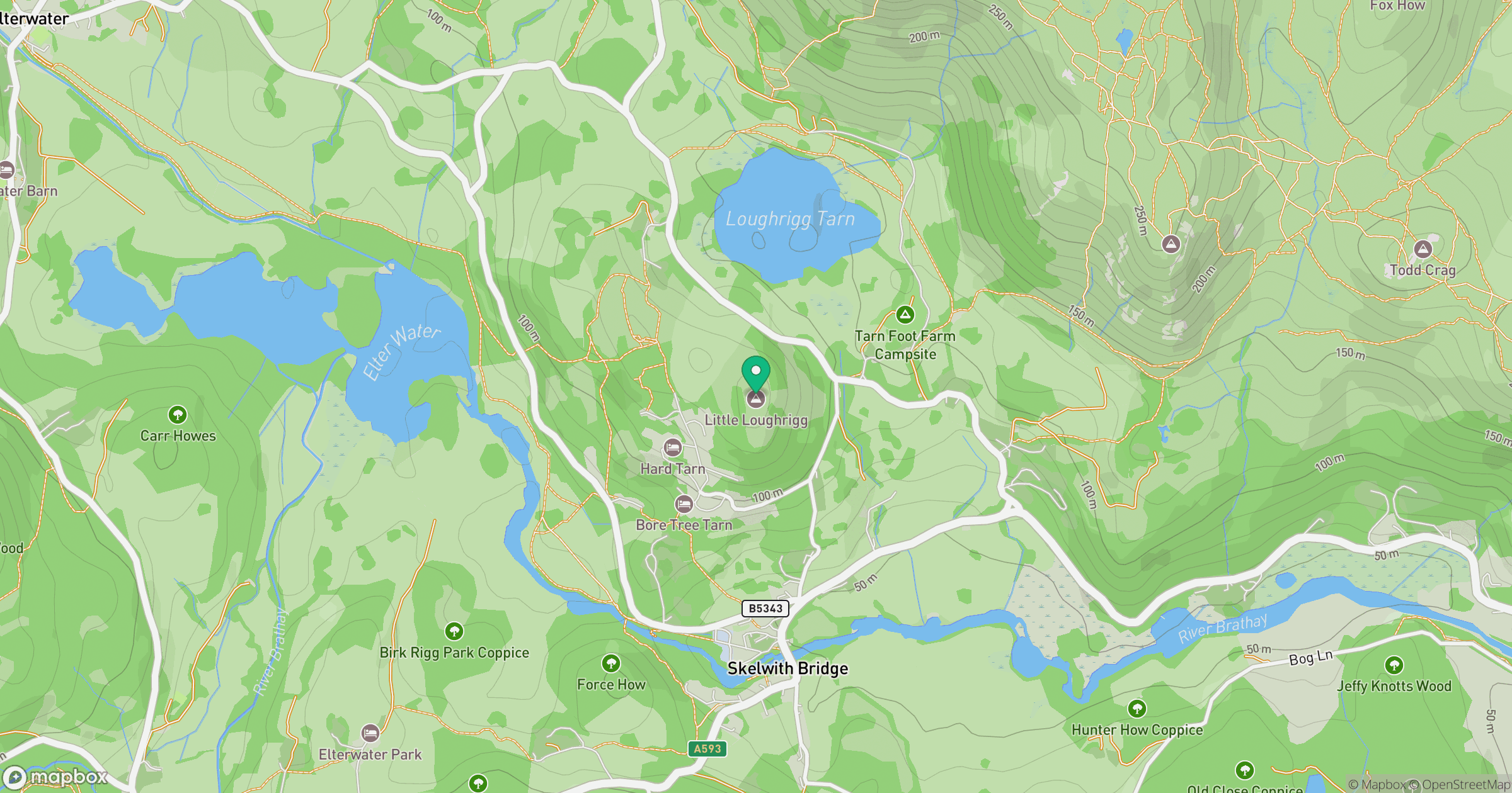
Grid reference: NY343039
View on OpenStreetMapOpens a map in a new tab, centred on the hill.
No comments yet. Be the first.