

Hill of Barnweil
Good walks are even better shared.
NS4029 : Wallace's Monument, Barnwell Hill
Iain Thompson Photo source
Overview
Hill of Barnweil
Overview
Nestled in the verdant South Ayrshire region, the Hill of Barnweil stands at a respectable 332 meters, casting a charming silhouette against the skyline. This hill is a delightful spot for those looking to stretch their legs and experience the great outdoors without needing a full day's commitment.
Geology
The geological composition of Barnweil reflects the ancient earth's history, primarily made up of sedimentary rocks formed in the Carboniferous period. The intriguing formations create a backdrop that is as educational as it is stunning.
Routes
There are a couple of popular routes available to tackle Barnweil. The Barnweil Circular Route offers a moderate challenge over approximately 6.5 km, providing ample opportunity to chase after your four-legged friends or simply enjoy the magnificent scenery. For those with less time or energy, the Direct Ascent from the A78 is a quick and easy path.
Summit Features
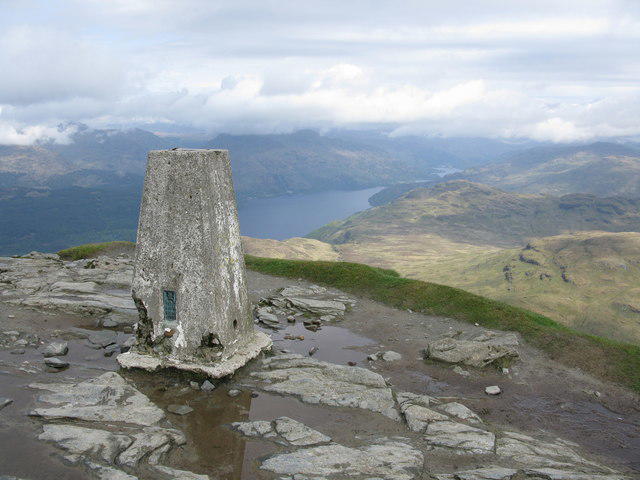
Upon reaching the summit, hikers are greeted by a stone cairn that serves both as a marker and a scenic viewpoint. It’s a prime location to catch your breath and snap a few photos.
Terrain
The terrain is predominantly grassy with scattered rocky outcrops, offering a mix of easy and moderate walking, but don't be surprised if you encounter some soggy patches after rain—it keeps things interesting!
Views
From the summit, the views are truly spectacular. On clear days, visitors can relish in the sight of the Firth of Clyde, the Isles of Arran, and the beautiful lands of South Ayrshire. The best time to visit for these views is undoubtedly in spring or autumn when nature puts on its finest show.
Hazards
Keep your wits about you; the terrain can be slippery, especially after rainfall. Make sure to watch for mud and livestock in the surrounding fields—it’s a working landscape after all!
Access
Access is straightforward, with limited roadside parking in Monkton, and regular bus services from Ayr ensuring that you won’t need to pull out the full expedition gear just to get there.
Facilities
While you're exploring the hill, make sure to head back to Ayr for refreshments afterward, as there are no facilities at the summit—just the pure, unadulterated joy of nature!
History
The name Barnweil, with its Old Norse roots, hints at the region's rich history. Historically significant as a lookout point, it's likely seen its fair share of local drama over the decades.
Escape the hustle and bustle and take a trip to the Hill of Barnweil. It’s just waiting for wanderers like you! Bring your wellies, a sense of adventure, and maybe a picnic for the summit—because even the fittest of hikers deserve a treat!
Explore routes near Hill of Barnweil
Walks starting near this hill. Open a route to check its map, distance and full itinerary.
Carrick Forest Drive: Stinchar Bridge to Loch Doon
View route
Paisley Walk with Men Walking & Talking
View route
Cambuslang Walk with Men Walking & Talking
View route
Goatfell from Cladach
View route
Route planning notes
These notes describe possible approaches. Check a route's map and access information when planning your walk.
Barnweil Circular Route
A scenic loop beginning at the village of Monkton that provides a moderate challenge while allowing you to soak in picturesque views.
Direct Ascent from the A78
A straightforward path ascending directly from the A78, ideal for those looking to get to the summit quickly.
Make a day of it, together
Find someone to share the walk with, or organise a day out along a route you like.
Photo Gallery
View all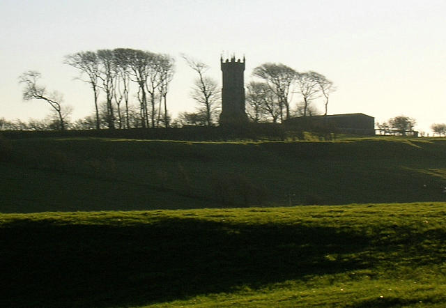 Photo could not load
NS4029 : Wallace's Monument, Barnwell Hill
Iain Thompson
 Photo could not load
NS4029 : Barnweil Hill Wallace Monument
Stephen clark
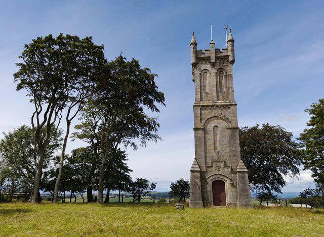 Photo could not load
NS4029 : Barnweil Hill Wallace Monument
Colin Kinnear
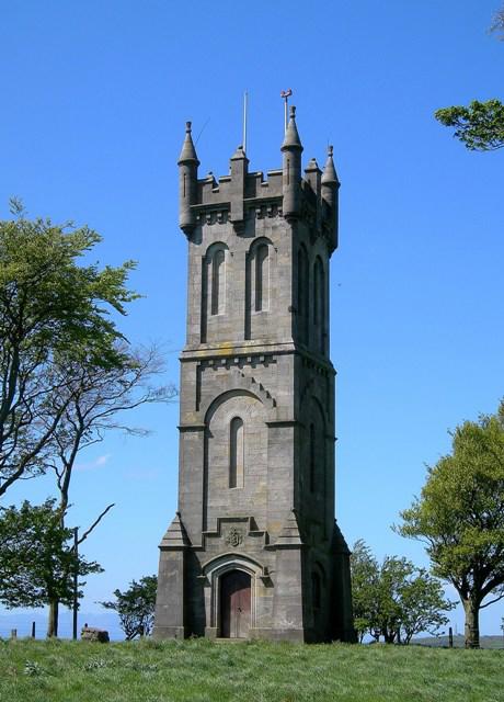 Photo could not load
NS4029 : The Wallace Monument On Barnweil Hill
Mary and Angus Hogg
 Photo could not load
NS4029 : Looking towards The Wallace Monument
S.C.C.Bate
 Photo could not load
NS4029 : Wallace Monument on Barnweil Hill
Gordon Brown
Hill facts and local notes
Classifications
Elevation
153m
502 ft
Prominence
59m
Coordinates
55.5331, -4.5264
NS406294
OS Map
70
Explorer: 326N 327 333
At the Summit
A classic stone cairn marking the summit, providing a perfect spot for a well-deserved break and photo opportunity.
Terrain & Geology
Primarily composed of sedimentary rocks, the Hill of Barnweil showcases the rugged beauty typical of this region's ancient landscapes formed during the Carboniferous period.
Views & Scenery
From the summit, hikers can enjoy sweeping views of the Firth of Clyde, Arran, and the rolling hills of the surrounding countryside.
History & Heritage
Name Origin
The name 'Barnweil' is likely derived from Old Norse, where 'barn' indicates 'shelter' and 'weil' pertains to 'spring' or 'well', hinting at the area's historical importance for water sources.
Historical Significance
The hill is believed to have been used as a lookout point during historical conflicts, serving as a strategic vantage for local clans.
Getting There & Facilities
Parking
There is limited roadside parking available near the village of Monkton, where the circular route begins.
Public Transport
Regular bus services operate from Ayr to Monkton, making it accessible without a car.
Nearby Facilities
Ayr boasts various facilities, including cafes, restaurants, and public toilets. No facilities are available at the summit.
Safety Information
Known Hazards
- Keep an eye out for muddy areas, particularly after rain, as well as potential livestock in the fields surrounding the hill.
General Safety Tips
- Check weather conditions before setting out
- Carry appropriate clothing and equipment
- Let someone know your planned route
- Take a map, compass, and GPS device
- Carry emergency supplies: food, water, first aid kit, torch
Hills
Some common questions about the hills answered
Are there group walks up Hill of Barnweil?
Many walkers use Walkmates to join or organise walks with others. You can check for group walks around Hill of Barnweil through the maps
Are there other walkers around Hill of Barnweil?
Activity varies by location and time, but Walkmates lets you see whether others have shared walks or shown interest in this area. Find other people through the walking friends search walking friends for Hill of Barnweil search or of course create your own walk for Hill of Barnweil
Can I organise a walk to Hill of Barnweil?
Yes. If there aren’t any walks listed already, you can create a walk and make it available for others to join.
If you're signed up to Walkmates, you can create a walk to Hill of Barnweil.
How do I find a walk up this hill?
There are often multiple ways to walk this hill, depending on experience and route preference. Walkmates helps you explore walks and routes that others have shared.
Can I suggest a new route up Hill of Barnweil?
Yes. You can suggest or create routes to share with others. Walkmates focuses on the social side of walking, so routes are used to help people organise walks and explore areas together, rather than as detailed navigation tools or route libraries.
Other uses really appreciate knowledgeable walkers sharing their routes. Share your favourite route to Hill of Barnweil here
The is an error or something incorrect about this hill. How do I let you know?
We always strive to keep the information on Walkmates as accurate as possible. If you find an error, please let us know through the contact form and we'll aim to correct it as quickly as possible
Community Discussion
Comments
Location
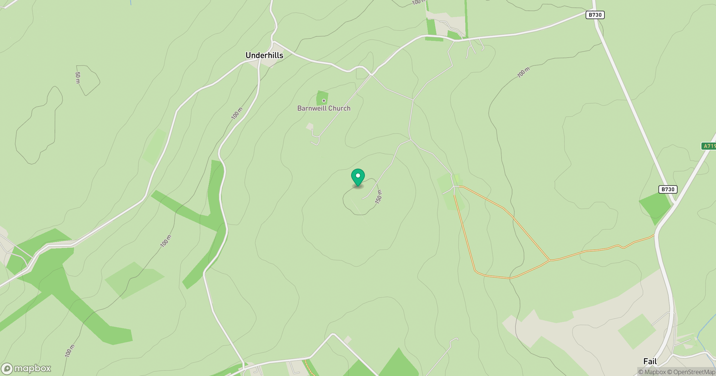
Grid reference: NS406294
View on OpenStreetMapOpens a map in a new tab, centred on the hill.
Nearby Hills
Merrick
843m
Cairnsmore of Carsphairn
797m
Ailsa Craig
339m
Ben Lomond
974m
Goatfell [Goat Fell]
875m
No comments yet. Be the first.