

Helman Tor
Good walks are even better shared.
SX0661 : Rocks on Helman Tor
Philip Halling Photo source
Overview
Helman Tor
Nestled in the heart of Cornwall, Helman Tor stands at a respectable 365 meters, offering hikers not just a climb but an invitation to see the world from a new perspective. This Marilyn, with a prominence of 146 meters, stands out amidst the rolling moorland.
Geology
Helman Tor showcases fascinating granite formations that have evolved over millions of years. The local geology tells a story of volcanic activity that shaped this enchanting landscape. The sight of the jagged tors might evoke images of nature playing designer, and you might just find yourself imagining what it would be like to have a picnic atop one of those looming rocks.
Routes
A popular route begins at Tregothnan Road, extending 2.0 km to the summit. This moderate trail meanders through lush woodlands before revealing breathtaking hilltop vistas. It's an accessible path, perfect for families and those looking to get a breathe of fresh Cornish air.
Summit Features
Upon reaching the top, you'll spot a robust stone cairn marking the peak, proudly standing guard over the panoramic scenes below. The surrounding rocky outcrops create a playground for adventurous spirits, and a perfect spot for that obligatory summit selfie.
Terrain Type
The terrain is a mix of rocky, grassy areas with a chance of bogginess that could leave even the most seasoned hiker with muddy boots. A bit of elevation doesn’t often come without a bit of slippery fun!
Views
The views from Helman Tor are truly spectacular. You'll witness the winding River Fowey below, laid out like a ribbon of silver threading through lush farmland. Ancient Restormel Castle looms in the distance, while on particularly clear days, Bodmin Moor offers a stunning backdrop. The prime seasons for these views are spring and autumn, when the scenery is at its vibrant best.
Hazards
As beautiful as Helman Tor may be, caution is advised. Slippery rocks can make for a tricky descent, especially after rainfall, and don’t underestimate the shifty Cornish weather – be prepared for sunshine, rain, or both, all in one outing.
Nearby Summits
For those eager to explore further, nearby summits like Carn Gloose and Helman Tor East offer more breathtaking panoramas and worthy adventures.
Access
Parking is available at the top of Tregothnan Road, but make sure to arrive early as it fills up quicker than you can say 'Cornish pasty'. Public transport is available from Lostwithiel, making it a convenient stop for those who prefer not to drive.
Facilities
While Helman Tor itself might not boast any facilities, the charming town of Lostwithiel is just a stone’s throw away, offering cafes that are perfect for a post-hike treat.
History
The origin of the name Helman gives a nod to the hill itself, with its Cornish roots reflecting the undeniable connection to the land. Over the years, this cherished locale has harboured tales of ancient gatherings and mystical happenings, providing a sense of wonder for those who visit.
In summary, whether you're a hardcore hiker or just looking for a leisurely stroll with a side of historical charm, Helman Tor is a gem in the Cornish landscape waiting to be explored!
Explore routes near Helman Tor
Walks starting near this hill. Open a route to check its map, distance and full itinerary.
Lanhydrock: Deer Wall, River Fowey and Woodland Circuit
View route
Wadebridge to Boscarne: Camel Valley Railway Walk
View route
Ropehaven Cliffs and Black Head
View route
Padstow to Trevone coastal circular
View route
Route planning notes
These notes describe possible approaches. Check a route's map and access information when planning your walk.
Tregothnan Road to Summit
A scenic ascent starting from Tregothnan Road that winds through picturesque woods before opening up to the summit's stunning views.
Make a day of it, together
Find someone to share the walk with, or organise a day out along a route you like.
Photo Gallery
View all Photo could not load
SX0661 : Rocks on Helman Tor
Philip Halling
 Photo could not load
SX0661 : Trig point on Helman Tor
Philip Halling
 Photo could not load
SX0661 : Information board and Helman Tor
Philip Halling
 Photo could not load
SX0661 : Helman Tor
Chris Gunns
 Photo could not load
SX0661 : Lanlivery: tree and tor
Martin Bodman
 Photo could not load
SX0661 : Helman Tor
Chris Gunns
 Photo could not load
SX0661 : Helman Tor
Chris Gunns
 Photo could not load
SX0661 : Helman Tor from the south
David Smith
 Photo could not load
SX0661 : View from Helman Tor
Chris Gunns

SX0661 : Helman Tor
Robin Pearson
Hill facts and local notes
Classifications
Elevation
210m
689 ft
Prominence
36m
Coordinates
50.4220, -4.7296
SX062615
OS Map
200
Explorer: 107
At the Summit
The summit features a well-constructed stone cairn, perfect for taking a triumphant photo. There's also a series of impressive rocky outcrops that add to the beauty of the view.
Terrain & Geology
Helman Tor is predominantly composed of granite, which evidenced its volcanic origins. The rock formations display a rich tapestry of tors and outcrops, providing a unique landscape that seems almost as if Mother Nature had gone a bit whimsical with her chisel.
Views & Scenery
From the summit, you can catch glimpses of the picturesque landscape encompassing the River Fowey, the ancient ruins of Restormel Castle, and on a clear day, even a hint of the distant Bodmin Moor.
History & Heritage
Name Origin
The name 'Helman' is thought to derive from the Cornish 'Helman' meaning 'hill' or 'tor', reflecting the landscape's distinctive topography.
Historical Significance
Helman Tor is steeped in local folklore, believed to have been a site of ancient rituals and gatherings, giving it an air of mystique that captures the imagination.
Getting There & Facilities
Parking
There is a small car park at the top of Tregothnan Road, just before the entrance to the woods leading to Helman Tor.
Public Transport
Access via the local bus service from Lostwithiel, with a short walk to the foot of the hill.
Nearby Facilities
While there are no facilities directly on the summit, Lostwithiel offers various cafes, shops, and public restrooms that are just a short drive away.
Safety Information
Known Hazards
- The rocky terrain can be slippery, especially when wet. The weather can change rapidly, so it's wise to keep an eye on the sky.
General Safety Tips
- Check weather conditions before setting out
- Carry appropriate clothing and equipment
- Let someone know your planned route
- Take a map, compass, and GPS device
- Carry emergency supplies: food, water, first aid kit, torch
Hills
Some common questions about the hills answered
Are there group walks up Helman Tor?
Many walkers use Walkmates to join or organise walks with others. You can check for group walks around Helman Tor through the maps
Are there other walkers around Helman Tor?
Activity varies by location and time, but Walkmates lets you see whether others have shared walks or shown interest in this area. Find other people through the walking friends search walking friends for Helman Tor search or of course create your own walk for Helman Tor
Can I organise a walk to Helman Tor?
Yes. If there aren’t any walks listed already, you can create a walk and make it available for others to join.
If you're signed up to Walkmates, you can create a walk to Helman Tor.
How do I find a walk up this hill?
There are often multiple ways to walk this hill, depending on experience and route preference. Walkmates helps you explore walks and routes that others have shared.
Can I suggest a new route up Helman Tor?
Yes. You can suggest or create routes to share with others. Walkmates focuses on the social side of walking, so routes are used to help people organise walks and explore areas together, rather than as detailed navigation tools or route libraries.
Other uses really appreciate knowledgeable walkers sharing their routes. Share your favourite route to Helman Tor here
The is an error or something incorrect about this hill. How do I let you know?
We always strive to keep the information on Walkmates as accurate as possible. If you find an error, please let us know through the contact form and we'll aim to correct it as quickly as possible
Community Discussion
Comments
Location
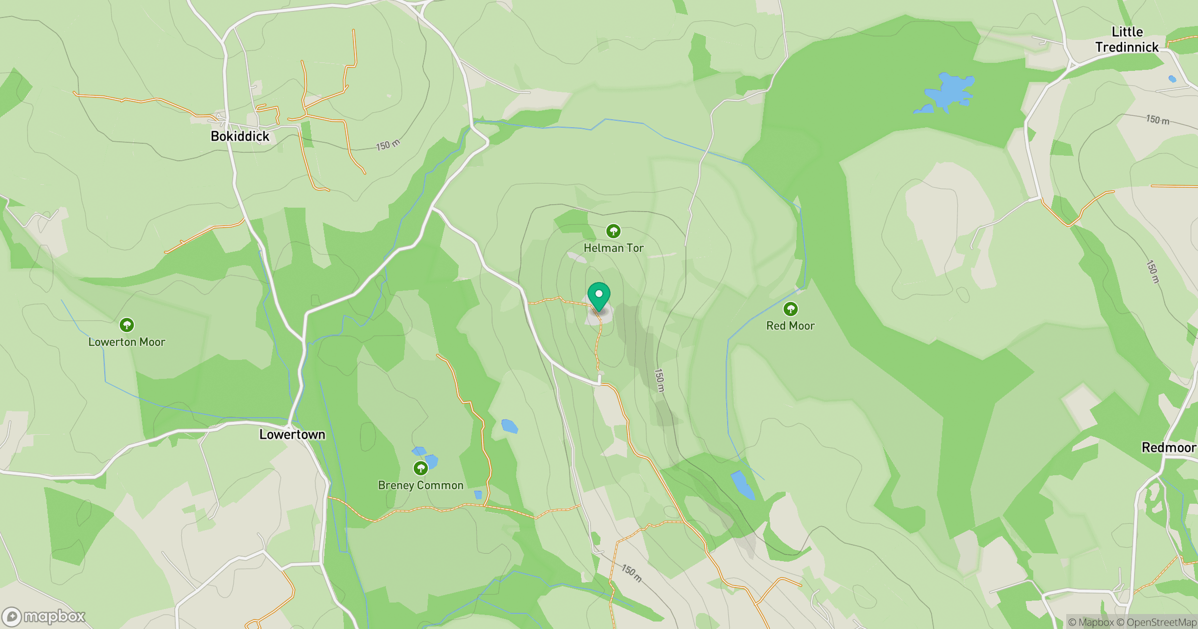
Grid reference: SX062615
View on OpenStreetMapOpens a map in a new tab, centred on the hill.
Nearby Hills
Brown Willy
420m
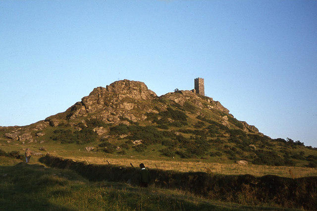
Brent Tor
334m
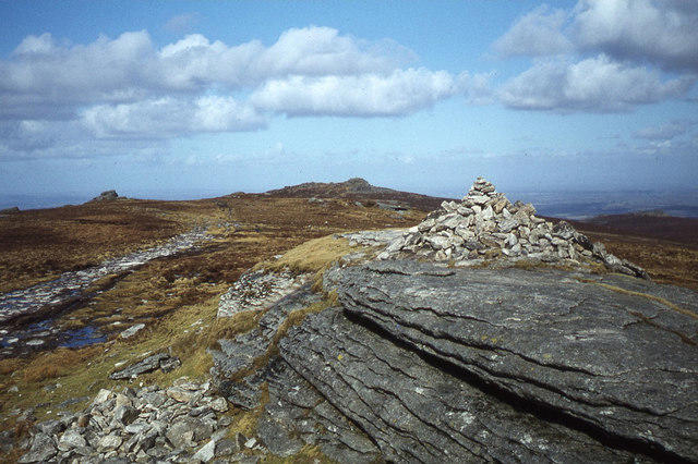
High Willhays
622m
Rhossili Down - The Beacon
193m
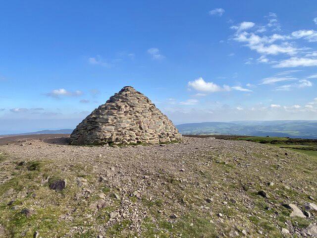
Dunkery Beacon
520m
No comments yet. Be the first.