

Fauldhouse Bing
Good walks are even better shared.
NS9162 : Derelict building at East Benhar
M J Richardson Photo source
Overview
Fauldhouse Bing
Fauldhouse Bing, like a friend who never brings a snack to a party, is always there to provide a good view without demanding much of your time or energy. With an elevation of 172 meters (564 feet), this Marilyn offers an easy-going hike that is suitable for all, even those whose idea of exercise involves reaching for the remote.
Geology
The geology of Fauldhouse Bing is interesting yet simple. Mainly composed of sand and gravel, this mound showcases the impact of both nature and human activity over the years. Insights into the layers of its past can be gleaned through exploration, but be warned—they might not spill any scandalous secrets!
Routes
The most popular route is the Fauldhouse Bing Loop. This 5 km jaunt allows you to circle the summit and bask in the scenic glory. It's perfect for families, dog-walkers, and anyone looking to stretch their legs without shattering any records.
- Distance: 5.0 km
- Estimated Time: 2 hours
- Difficulty: Easy
Summit Features
At the top, you will be greeted by a modest cairn, grassy slopes, and a smattering of rocky outcrops. It’s the perfect spot for a picnic and a few proud selfies as you bask in the glory of Mother Nature.
Views
The summit rewards your effort with sweeping views that stretch over the Pentland Hills to the south and the gentle plains of West Lothian to the north. The best time to witness this natural spectacle is during the late spring and early summer when everything seems to be in full bloom.
Hazards
While pretty straightforward, hikers should be cautious of muddy patches after a rainstorm—nobody likes a soggy sock!
Nearby Summits
If you fancy a few more steps, check out nearby summits like Blackhill (187 m) and Dunsapie Hill (130 m). Each offers its own unique charms and challenges.
Access
To reach this little gem, head to Fauldhouse, where you can park your car near the A705 before heading off on foot to the trailhead. Public transport options are also available via buses running from Edinburgh.
Facilities
Once you’ve conquered Fauldhouse Bing, reward yourself at a local café or one of the shops in Fauldhouse. You’ve earned it!
History
The name 'Fauldhouse Bing' reflects the area’s coal mining heritage, with 'Bing' referring to heaps of refuse left behind. It’s a reminder of the hard work that has shaped this landscape.
With something to offer everyone, Fauldhouse Bing stands as both a natural wonder and a bit of historical significance. So, lace up those walking boots and get out there!
Keep your spirits high and remember: there are no bad days, just bad hiking socks.
Explore routes near Fauldhouse Bing
Walks starting near this hill. Open a route to check its map, distance and full itinerary.
Linlithgow: Beecraigs Loch and Southern Woodland Circuit
View route
East Calder: Almondell, Mandela Bridge and River Almond Circuit
View route
Motherwell: Strathclyde Loch full shoreline circuit
View route
Falkirk Wheel: Bonnybridge and Doctor's Pend Canal Walk
View route
Route planning notes
These notes describe possible approaches. Check a route's map and access information when planning your walk.
Fauldhouse Bing Loop
A pleasant loop around the slopes of Fauldhouse Bing, suitable for walkers of all abilities.
Make a day of it, together
Find someone to share the walk with, or organise a day out along a route you like.
Photo Gallery
View all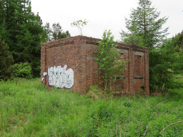 Photo could not load
NS9162 : Derelict building at East Benhar
M J Richardson
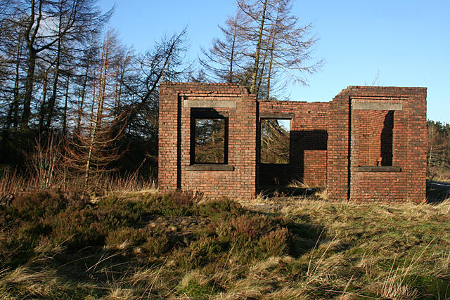 Photo could not load
NS9162 : Ruin at East Benhar
Anne Burgess
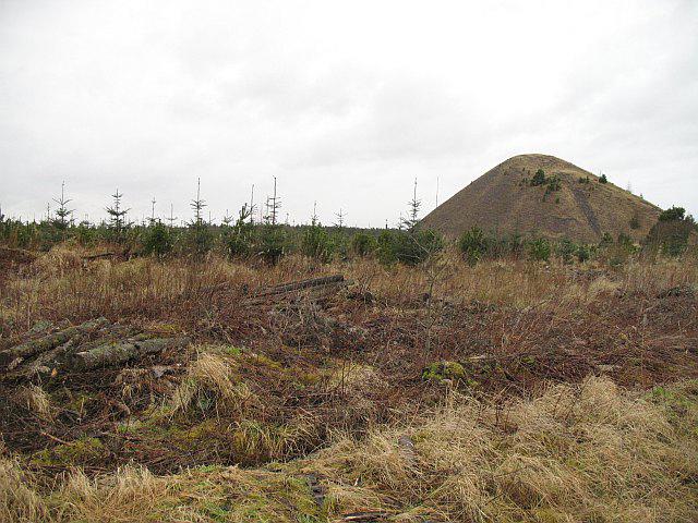 Photo could not load
NS9161 : Bing, Benhar
Richard Webb
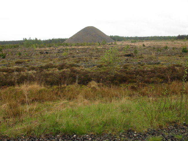 Photo could not load
NS9161 : Fauldhouse Moor Bing
Raymond Okonski
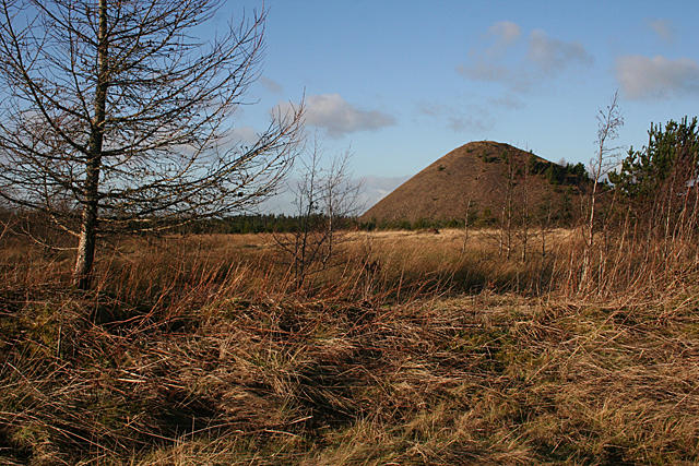 Photo could not load
NS9161 : Bing at East Benhar
Anne Burgess
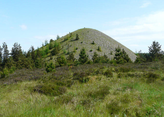 Photo could not load
NS9161 : East Benhar Bing
Graham Steven
Hill facts and local notes
Classifications
Elevation
294m
966 ft
Prominence
55m
Coordinates
55.8385, -3.7328
NS915619
OS Map
65
Explorer: 343
At the Summit
The summit features a distinctive, grassy mound, a modest cairn, and expansive views of the surrounding countryside.
Terrain & Geology
Fauldhouse Bing is largely composed of sand and gravel, shaped by the processes of both mining and natural erosion. The impact of human activity is evident in its structure, revealing layers of geological history.
Views & Scenery
From the summit, you can enjoy panoramic views of the Pentland Hills to the south and the plains of West Lothian to the north.
History & Heritage
Name Origin
The term 'Bing' refers to a mound of refuse from the coal mining industry, highlighting the area's industrial past.
Historical Significance
Fauldhouse Bing is a testament to the region's coal mining history and serves as a reminder of the landscape shaped by both nature and industry.
Getting There & Facilities
Parking
There is a small public parking area on the A705, just a 10-minute walk from the trailhead.
Public Transport
Buses from Edinburgh to Fauldhouse regularly run, with the nearest bus stop located near the A705.
Nearby Facilities
Fauldhouse has a few local shops and a café where hikers can grab a bite to eat after their adventure.
Safety Information
Known Hazards
- Muddy patches can be slippery after rainfall; watch your footing!
General Safety Tips
- Check weather conditions before setting out
- Carry appropriate clothing and equipment
- Let someone know your planned route
- Take a map, compass, and GPS device
- Carry emergency supplies: food, water, first aid kit, torch
Hills
Some common questions about the hills answered
Are there group walks up Fauldhouse Bing?
Many walkers use Walkmates to join or organise walks with others. You can check for group walks around Fauldhouse Bing through the maps
Are there other walkers around Fauldhouse Bing?
Activity varies by location and time, but Walkmates lets you see whether others have shared walks or shown interest in this area. Find other people through the walking friends search walking friends for Fauldhouse Bing search or of course create your own walk for Fauldhouse Bing
Can I organise a walk to Fauldhouse Bing?
Yes. If there aren’t any walks listed already, you can create a walk and make it available for others to join.
If you're signed up to Walkmates, you can create a walk to Fauldhouse Bing.
How do I find a walk up this hill?
There are often multiple ways to walk this hill, depending on experience and route preference. Walkmates helps you explore walks and routes that others have shared.
Can I suggest a new route up Fauldhouse Bing?
Yes. You can suggest or create routes to share with others. Walkmates focuses on the social side of walking, so routes are used to help people organise walks and explore areas together, rather than as detailed navigation tools or route libraries.
Other uses really appreciate knowledgeable walkers sharing their routes. Share your favourite route to Fauldhouse Bing here
The is an error or something incorrect about this hill. How do I let you know?
We always strive to keep the information on Walkmates as accurate as possible. If you find an error, please let us know through the contact form and we'll aim to correct it as quickly as possible
Community Discussion
Comments
Location
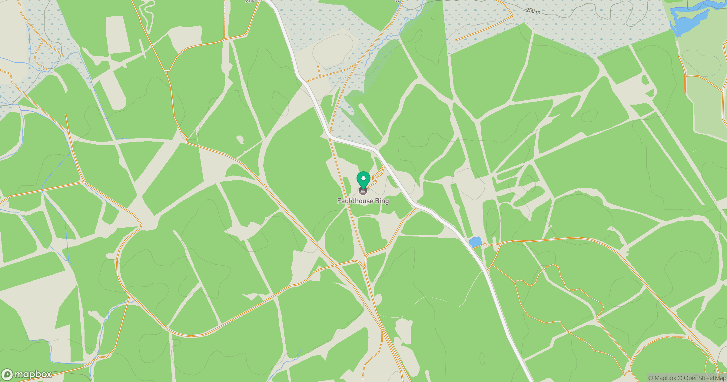
Grid reference: NS915619
View on OpenStreetMapOpens a map in a new tab, centred on the hill.

No comments yet. Be the first.