

Emley Moor
Good walks are even better shared.
SE2213 : Emley Moor TV Mast
Dave Pickersgill Photo source
Overview
Emley Moor
Nestled in the beautiful Yorkshire Pennines, Emley Moor is not just another hill; it’s a Marilyn that gifts hikers with both stunning views and a hefty dose of local history. Standing at 337 meters, this prominent site is synonymous with the iconic Emley Moor transmission mast that towers above, reaching 330 meters high and making it a landmark you can’t miss on the horizon.
Geology
Emley Moor is formed predominantly from carboniferous limestone. Over the centuries, erosion has sculpted its landscape into a rolling expanse of grassy slopes and patches of heather. The geology here supports a variety of wildlife, providing habitat for the common skylark and other native species.
Access
Getting to Emley Moor couldn’t be easier. The nearest parking is at the Emley Moor Mast car park where you can leave your car without worrying about pesky parking tickets. If you prefer not to drive, public transport options include buses from Huddersfield and Wakefield, though a bit of a walk is required to get to the path.
The Route
The most popular route to the summit is the Emley Moor Circular Walk, a delightful 5-kilometre trek that should take around two hours. It’s an easy stroll for most walkers and you may even encounter a sheep or two who willingly offer themselves as your personal guides… or possibly just a distraction.
Summit Features
As you reach the summit, the towering broadcast mast greets you along with a small stone cairn – a nod to all the other adventurers who’ve scaled the heights of Emley Moor. Make sure to take a moment to appreciate the panorama spread out before you; on a clear day, the visibility stretches far and wide!
Views
The highlight of any ascent is undoubtedly the views. From the top, you can catch a glimpse of the distant peaks of the Pennines and perhaps even the North York Moors. Spring and autumn are undeniably the best times to visit for unencumbered views, as the foliage adds vibrant colours to the backdrop.
Historical Significance
The name 'Emley' is derived from Old English, with 'island meadow' reflecting its elevated position among historically marshy terrain. Moreover, the site’s significance extends beyond its physical presence, as it plays a vital role in broadcasting, connecting communities through radio and television since the 1950s.
Conclusion
So, whether you’re a seasoned hiker or just looking for a leisurely Sunday stroll, Emley Moor is a gem of the Yorkshire landscape, promising both adventure and a hearty dose of local charm. Just remember: sheep have right of way, and they’re not shy about asserting it!
Explore routes near Emley Moor
Walks starting near this hill. Open a route to check its map, distance and full itinerary.
Mirfield Walk with Men Walking & Talking
View route
Huddersfield Walk with Men Walking & Talking
View route
Penistone to Dunford Bridge Return
View route
Pugneys Country Park Main Lake
View route
Route planning notes
These notes describe possible approaches. Check a route's map and access information when planning your walk.
Emley Moor Circular Walk
A popular circular route starting from the village of Emley, this path offers scenic views and a pleasant walking experience.
Make a day of it, together
Find someone to share the walk with, or organise a day out along a route you like.
Photo Gallery
View all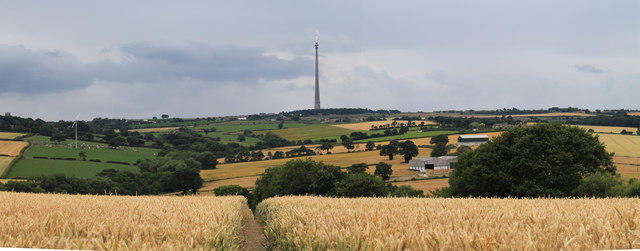 Photo could not load
SE2213 : Emley Moor TV Mast
Dave Pickersgill
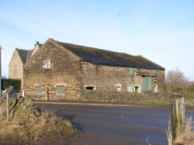 Photo could not load
SE2112 : Outbuilding at Highfield House
John Slater
 Photo could not load
SE2212 : Emley Moor Television Transmitter
James T M Towill
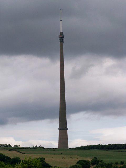 Photo could not load
SE2212 : Emley Moor Television Transmitter
James T M Towill
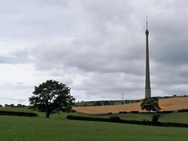 Photo could not load
SE2212 : Emley Moor Television Transmitter And Surrounding Countryside
James T M Towill
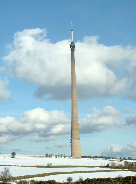 Photo could not load
SE2212 : Emley Moor Mast From Jagger Lane
John Fielding
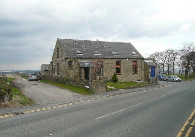 Photo could not load
SE2213 : Former Methodist Chapel, Emley Moor, Emley
Humphrey Bolton
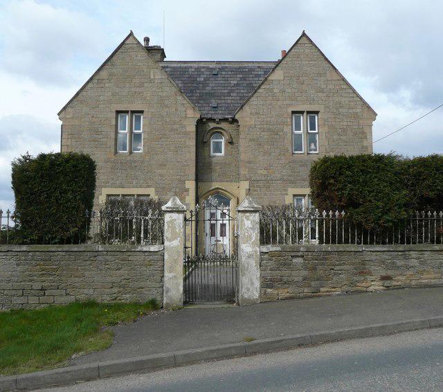 Photo could not load
SE2112 : Highfield House, Jagger Lane, Shelley
Humphrey Bolton
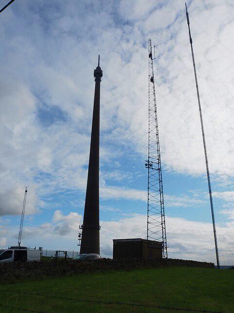 Photo could not load
SE2212 : Four masts at the Emley Moor transmitting station
Graham Hogg
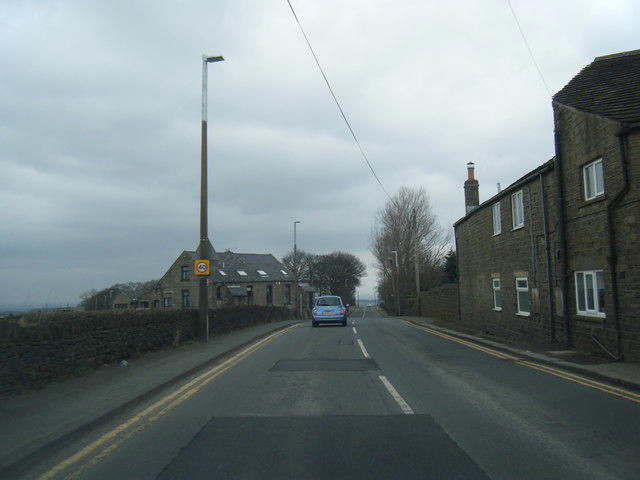
SE2212 : Jagger Lane
Colin Pyle
Hill facts and local notes
Classifications
Elevation
266m
873 ft
Prominence
74m
Coordinates
53.6113, -1.6690
SE220128
OS Map
110
Explorer: 288S
At the Summit
The summit features a prominent broadcasting mast, which is one of the tallest structures in the UK, standing at 330 meters. The area also offers a small stone cairn built by previous hikers.
Terrain & Geology
Emley Moor is primarily made up of carboniferous limestone, which has weathered over time to create a distinctive landscape. The hill is largely covered in grassland and heather, providing an attractive habitat for local wildlife.
Views & Scenery
From the summit, you can see the distant peaks of the Pennines, the rolling hills of Yorkshire and, on a clear day, even as far as the North York Moors and the peaks of the Peak District.
History & Heritage
Name Origin
The name 'Emley' is derived from Old English, meaning 'the island meadow', referring to its elevated position in a historically marshy area.
Historical Significance
Emley Moor is not only important for its natural beauty but also serves as a significant broadcasting site, transmitting radio and television signals across the region since the 1950s.
Getting There & Facilities
Parking
The nearest parking is available at the Emley Moor Mast car park, with ample space for vehicles. Be mindful to park responsibly.
Public Transport
Buses from Huddersfield and Wakefield service the area, with a short walk to the start of the route.
Nearby Facilities
Next to the starting point, the village of Emley has a pub, a local shop, and spots to grab a bite to eat. Public toilets can also be found in the vicinity.
Safety Information
Known Hazards
- Watch out for sheep on the moor; they have a tendency to wander close to paths. Good footwear is advised due to occasional muddy patches after rain.
General Safety Tips
- Check weather conditions before setting out
- Carry appropriate clothing and equipment
- Let someone know your planned route
- Take a map, compass, and GPS device
- Carry emergency supplies: food, water, first aid kit, torch
Hills
Some common questions about the hills answered
Are there group walks up Emley Moor?
Many walkers use Walkmates to join or organise walks with others. You can check for group walks around Emley Moor through the maps
Are there other walkers around Emley Moor?
Activity varies by location and time, but Walkmates lets you see whether others have shared walks or shown interest in this area. Find other people through the walking friends search walking friends for Emley Moor search or of course create your own walk for Emley Moor
Can I organise a walk to Emley Moor?
Yes. If there aren’t any walks listed already, you can create a walk and make it available for others to join.
If you're signed up to Walkmates, you can create a walk to Emley Moor.
How do I find a walk up this hill?
There are often multiple ways to walk this hill, depending on experience and route preference. Walkmates helps you explore walks and routes that others have shared.
Can I suggest a new route up Emley Moor?
Yes. You can suggest or create routes to share with others. Walkmates focuses on the social side of walking, so routes are used to help people organise walks and explore areas together, rather than as detailed navigation tools or route libraries.
Other uses really appreciate knowledgeable walkers sharing their routes. Share your favourite route to Emley Moor here
The is an error or something incorrect about this hill. How do I let you know?
We always strive to keep the information on Walkmates as accurate as possible. If you find an error, please let us know through the contact form and we'll aim to correct it as quickly as possible
Community Discussion
Comments
Location
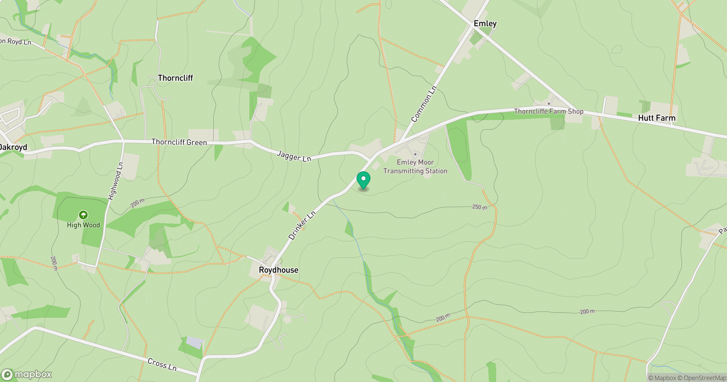
Grid reference: SE220128
View on OpenStreetMapOpens a map in a new tab, centred on the hill.
Nearby Hills

Kinder Scout
636m
Rombalds Moor [Ilkley Moor]
402m
The Roaches
505m

Pendle Hill
557m
Buckden Pike
702m
No comments yet. Be the first.