

Creag Leacach
Good walks are even better shared.
NO1574 : The ridge northeast from Creag Leacach
Colin Park Photo source
Overview
Creag Leacach
Nestled in the splendour of the Scottish Highlands, Creag Leacach stands tall at 917 meters. This Munro offers hikers a delightful challenge accompanied by stunning views.
Geology
Creag Leacach is primarily granite, shaped by glaciers over millennia. This geological formation creates a landscape that's not only picturesque but also comfortable for boots. Just remember, it’s all about the footing, so take care in the crumbly bits!
Routes
The most popular route starts from the Glas Maol area and stretches about 9 km. This route is considered moderate and can be tackled in about four hours. Along the way, expect to be greeted by everything from patches of heather to rocky outcrops where a photo opportunity just screams your name.
Summit Features
At the summit, you'll find a flat-topped expanse and a wee stone cairn. Perfect for that Instagram shot—or to simply catch your breath and soak in the scenery after your ascent.
Terrain
Hikers will encounter a mix of rocky and grassy terrain, with some sections potentially turning into boggy mayhem after rain. So, waterproof boots are your best mates here!
Views
From the top, the unparalleled views towards the Cairngorms and Loch Builg stretch out before you. Best to visit during late spring or early autumn for clear skies, and maybe even a dramatic backdrop of distant peaks cloaked in mist.
Hazards
Keep an eye on the weather, as it can change on a dime. The steep sections especially can be slippery, so tread carefully. Always let someone know where you’re heading, and check that you’ve got your map at hand!
Nearby Summits
If you're feeling adventurous, why not bag a few Munros in one go? Nearby, you can venture over to Carn an Tuirc, which soars to 1019m, or Glasc Maol at 1068m. Both promise plenty of climbing joy.
Access
Accessing Creag Leacach is relatively straightforward. There’s parking available at the ski centre near Glas Maol—ideal for those early starts. Public transport isn’t the best, so having a car is advantageous. If you're coming from Braemar, you’re approximately 15 km away, and it's a scenic route to boot.
Facilities
Check out Braemar for food and facilities. While you're there, why not indulge in a homemade cake? After all, you’ve earned it!
History
The name Creag Leacach, meaning 'Rocky Hill', reflects this mountain's rugged charm. As one of Scotland's Munros, it holds a special place in the hearts of outdoor enthusiasts and is part of the broader Scottish cultural heritage.
Happy hiking, and don’t forget to bring your sense of adventure and maybe a sandwich or two!
Explore routes near Creag Leacach
Walks starting near this hill. Open a route to check its map, distance and full itinerary.
Unled club outing: West Drumochter/Beinn Udlamain (coach departure)
View route
Unled club outing: Glenesk (coach departure)
View route
Unled club outing: Xmas Walk - Bankfoot - Dunkeld (coach departure)
View route
Unled club outing: Angus coastal walk (coach departure)
View route
Route planning notes
These notes describe possible approaches. Check a route's map and access information when planning your walk.
Glas Maol Start
A popular route ascending from the Glas Maol area, offering stunning vistas throughout the hike.
Make a day of it, together
Find someone to share the walk with, or organise a day out along a route you like.
Photo Gallery
View all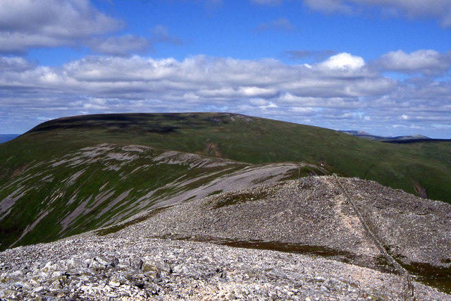 Photo could not load
NO1574 : The ridge northeast from Creag Leacach
Colin Park
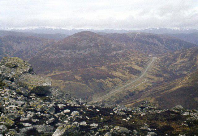 Photo could not load
NO1574 : On Creag Leacach
Alan Reid
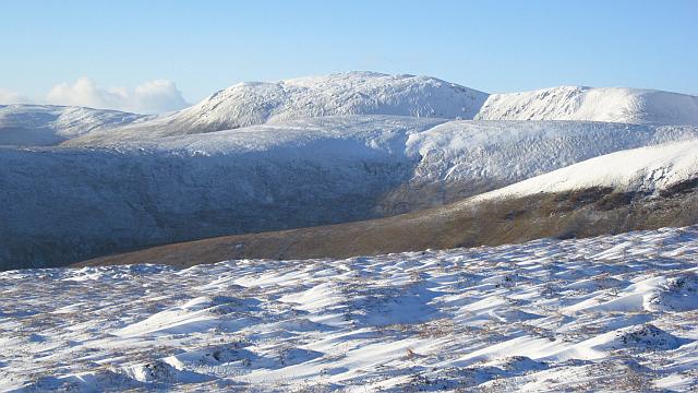 Photo could not load
NO1574 : Caenlochan Forest
Richard Webb
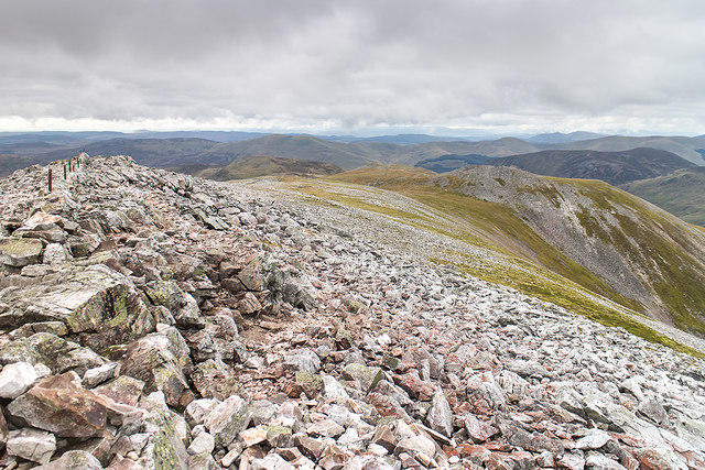 Photo could not load
NO1574 : Summit Area, Creag Leacach
William Starkey
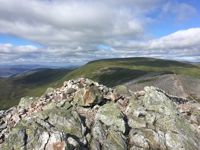 Photo could not load
NO1574 : Top of Creag Leacach
Steven Brown
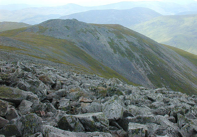 Photo could not load
NO1574 : South west approach to Creag Leacach
Nigel Brown
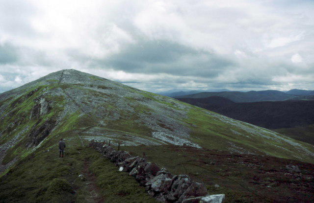 Photo could not load
NO1574 : Approaching Creag Leacach from the north
Russel Wills
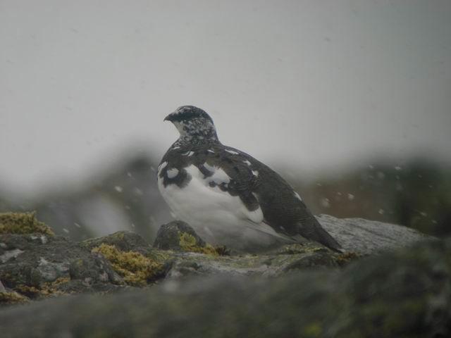 Photo could not load
NO1574 : Ptarmigan (Lagopus mutus)
Hugh Venables
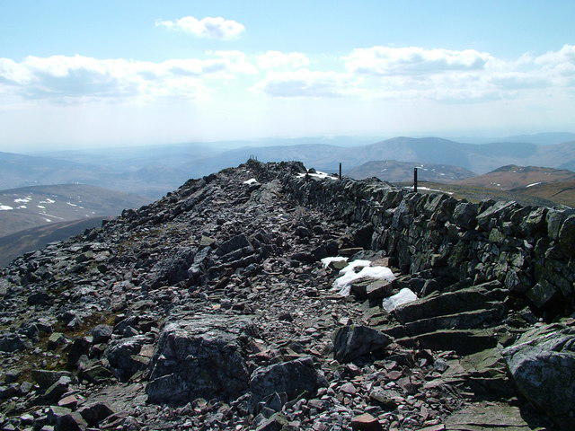 Photo could not load
NO1574 : Wall on Creag Leacach
David Brown
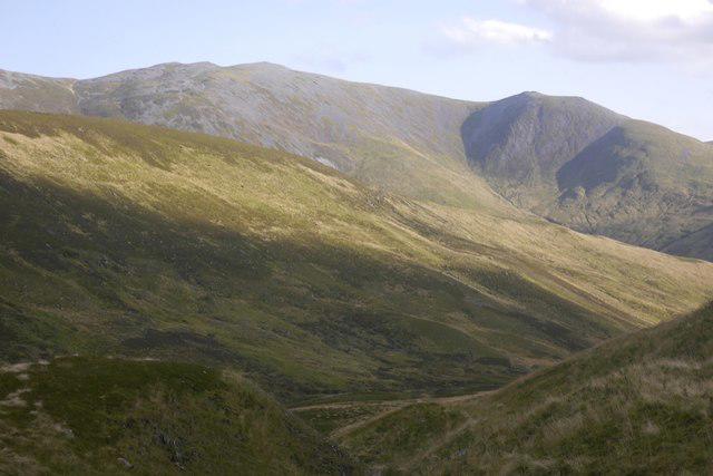
NO1574 : Creag Leacach
Richard Webb
Hill facts and local notes
Classifications
Elevation
988m
3,242 ft
Prominence
71m
Coordinates
56.8546, -3.3878
NO154745
OS Map
43
Explorer: OL52N 387N
At the Summit
The summit is marked by a distinctive flat-topped summit and a small stone cairn, providing a perfect spot for a well-earned break and selfies.
Terrain & Geology
Creag Leacach is predominantly composed of granite, which provides a sturdy and reliable footing for hikers. The landscape is shaped by glacial activity, leaving behind stunning rock formations and valleys.
Views & Scenery
Breathtaking views towards the Cairngorms and the vast expanse of the Highlands, including nearby Loch Builg.
History & Heritage
Name Origin
Creag Leacach translates to 'Rocky Hill' in Gaelic, which quite frankly is spot on.
Historical Significance
As a Munro, Creag Leacach is a well-loved destination for walkers and climbers, and forms part of the natural heritage of the Scottish Highlands.
Getting There & Facilities
Parking
Parking is available at the ski centre near Glas Maol, with spaces for several vehicles.
Public Transport
Limited bus services operate from local towns; best to check the local timetable. Private transport is advisable.
Nearby Facilities
During the hiking season, facilities may be available in Braemar, including cafes and bike rentals, as well as essential services such as toilets.
Safety Information
Known Hazards
- Steep sections may be slippery in wet weather; watch out for sudden changes in weather conditions typical of the Highlands.
General Safety Tips
- Check weather conditions before setting out
- Carry appropriate clothing and equipment
- Let someone know your planned route
- Take a map, compass, and GPS device
- Carry emergency supplies: food, water, first aid kit, torch
Hills
Some common questions about the hills answered
Are there group walks up Creag Leacach?
Many walkers use Walkmates to join or organise walks with others. You can check for group walks around Creag Leacach through the maps
Are there other walkers around Creag Leacach?
Activity varies by location and time, but Walkmates lets you see whether others have shared walks or shown interest in this area. Find other people through the walking friends search walking friends for Creag Leacach search or of course create your own walk for Creag Leacach
Can I organise a walk to Creag Leacach?
Yes. If there aren’t any walks listed already, you can create a walk and make it available for others to join.
If you're signed up to Walkmates, you can create a walk to Creag Leacach.
How do I find a walk up this hill?
There are often multiple ways to walk this hill, depending on experience and route preference. Walkmates helps you explore walks and routes that others have shared.
Can I suggest a new route up Creag Leacach?
Yes. You can suggest or create routes to share with others. Walkmates focuses on the social side of walking, so routes are used to help people organise walks and explore areas together, rather than as detailed navigation tools or route libraries.
Other uses really appreciate knowledgeable walkers sharing their routes. Share your favourite route to Creag Leacach here
The is an error or something incorrect about this hill. How do I let you know?
We always strive to keep the information on Walkmates as accurate as possible. If you find an error, please let us know through the contact form and we'll aim to correct it as quickly as possible
Community Discussion
Comments
Location
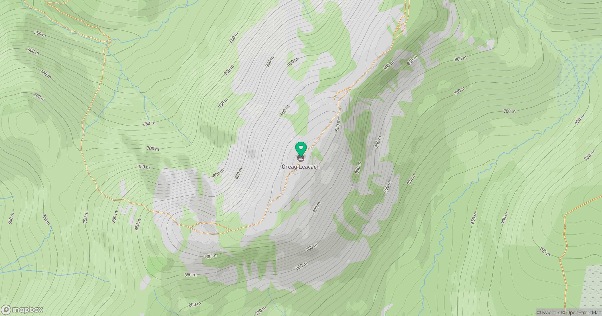
Grid reference: NO154745
View on OpenStreetMapOpens a map in a new tab, centred on the hill.
No comments yet. Be the first.