

Creach Bheinn
Good walks are even better shared.
Overview
Exploring Creach Bheinn
Creach Bheinn, a charming Marilyn nestled in the scenic Argyll and Bute region of Scotland, stands at 789 metres, offering an inviting adventure for those seeking to conquer yet another peak.
Geology
This stunning hill is primarily composed of Lewisian Gneiss, one of the oldest types of rock you can find in Scotland. Its rugged terrain tells tales of ancient geological forces, with dramatic glacial features shaped over millennia. As you hike, take a moment to ponder how this landscape was crafted by the ice; it’s quite humbling!
The Routes
One of the most popular routes to the summit is the North-East Ridge Route. Starting in Port Appin, it stretches about 8.5 km and typically takes around 3.5 hours to complete. This route is well-marked and offers breathtaking views along the way. For those feeling a bit more adventurous, the South-West Approach is a challenging option that requires a bit of grit and determination. At 7.0 km and roughly 4 hours, it rewards hikers with unforgettable scenery.
Summit Experience
Reach the summit, and you’ll find a hearty cairn awaiting your visit. The 360-degree views from here can steal your breath away—just make sure your feet remain on solid ground! You’ll revel in sights of majestic lochs and impressive peaks stretching as far as the eye can see. Just don’t forget to take your camera; trust us, you’ll want to explain to your friends what they missed!
Hazards
Although the views are to die for, the hills can be unforgiving. The steep northern slopes pose a risk with sheer drops, and you should always keep a watchful eye on the weather as it can turn quicker than you can say ‘Scottish drizzle’.
Access and Facilities
Parking is available at the North-East Ridge starting point near Port Appin. For those relying on public transport, there are buses from Oban, although services can be a bit sporadic.
After a day on the hill, Port Appin offers a few delightful cafes where you can restock your energy levels with a well-earned slice of cake or a hearty meal.
History
In Gaelic, Creach Bheinn means 'Hill of the Raid', possibly hinting at a tumultuous past filled with battles and local folklore that adds to its character. Whether you are a history buff or just enjoy a good tale, the stories tied to this hill add a delightful layer to your adventure.
So, lace up your hiking boots and set off to conquer Creach Bheinn, where stunning landscapes and rich history await. Just remember, the hills are calling, and you must go—preferably before the next rain shower!
Explore routes near Creach Bheinn
Public walks starting within 80 km of this hill. Nearby does not mean a route reaches the summit; check its map and access before setting out.
Route planning notes
These notes describe possible approaches, not verified navigable routes or permission to cross land. Check current paths, local access rules and conditions before setting out.
North-East Ridge Route
A well-trodden path that begins at the village of Port Appin, this route offers stunning views as it winds its way up the northeast ridge of Creach Bheinn.
South-West Approach
Starting from the A828, this more challenging route climbs steeply to reach the summit and offers a sense of adventure for the keen walker.
Make a day of it, together
Find someone to share the walk with, or organise a day out along a route you like.
Photo Gallery
View all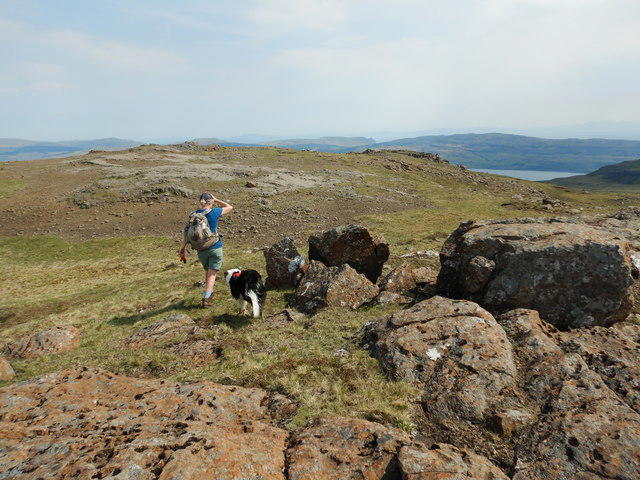 Photo could not load
NM4129 : The descent from Creach-Bheinn
Andy Waddington
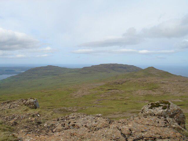 Photo could not load
NM4129 : The hills of Ardmeanach
Michael Earnshaw
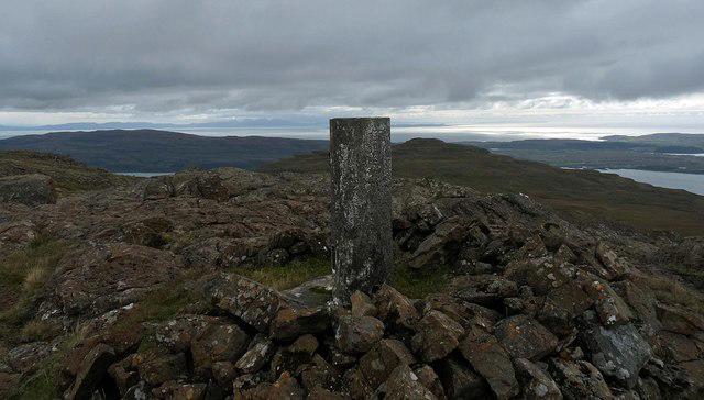 Photo could not load
NM4129 : Triangulation pillar, Creach-Bheinn, Ardmeanach, Isle of Mull
Claire Pegrum
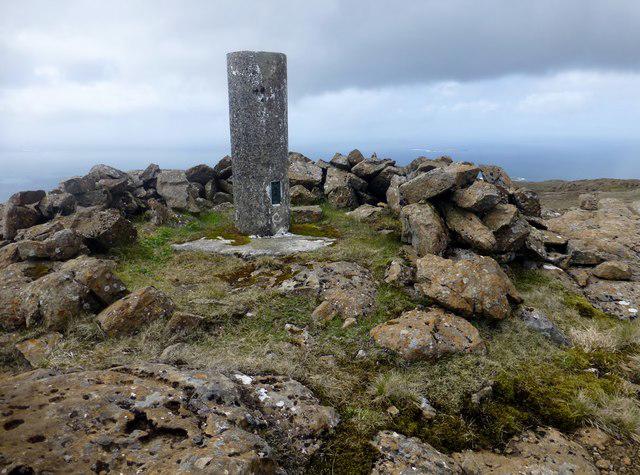 Photo could not load
NM4129 : Creach Bheinn
Rude Health
Hill facts and local notes
Classifications
Elevation
492m
1,613 ft
Prominence
146m
Coordinates
56.3837, -6.1820
NM419291
OS Map
48
Explorer: 373 375W
At the Summit
At the summit, hikers will find a well-built cairn along with breathtaking panoramic views that can knock your socks off—just don't forget to wear sensible footwear!
Terrain & Geology
Creach Bheinn is primarily composed of bedrock from the Lewisian Gneiss, a very ancient igneous rock. The landscape is marked by glacial features, including scree slopes and moraines, testament to the powerful forces that once shaped the area.
Views & Scenery
From the summit, you can see the stunning lochs of the Appin and even the majestic peaks of the Southern Highlands.
History & Heritage
Name Origin
Creach Bheinn translates to 'Hill of the Raid' in Gaelic, possibly referring to historical events in the area.
Historical Significance
The hill has local folklore associated with battles and raids in the region, making it a place rich with stories.
Getting There & Facilities
Check current local access restrictions, parking rules and transport timetables before travelling. These notes do not confirm public access to the summit.
Parking
There is a parking area at the base of the North-East Ridge route near Port Appin, suitable for several vehicles.
Public Transport
Buses run infrequently from Oban to Appin; it's wise to check the local schedule ahead of time.
Nearby Facilities
There are nearby cafes in Port Appin, though facilities are limited on the mountain itself.
Safety Information
Known Hazards
- Beware of steep drops on the northern slopes; also, be mindful of potential changes in weather that can reduce visibility.
General Safety Tips
- Check weather conditions before setting out
- Carry appropriate clothing and equipment
- Let someone know your planned route
- Take a map, compass, and GPS device
- Carry emergency supplies: food, water, first aid kit, torch
Hills
Some common questions about the hills answered
Are there group walks up Creach Bheinn?
Many walkers use Walkmates to join or organise walks with others. You can check for group walks around Creach Bheinn through the maps
Are there other walkers around Creach Bheinn?
Activity varies by location and time, but Walkmates lets you see whether others have shared walks or shown interest in this area. Find other people through the walking friends search walking friends for Creach Bheinn search or of course create your own walk for Creach Bheinn
Can I organise a walk to Creach Bheinn?
Yes. If there aren’t any walks listed already, you can create a walk and make it available for others to join.
If you're signed up to Walkmates, you can create a walk to Creach Bheinn.
How do I find a walk up this hill?
There are often multiple ways to walk this hill, depending on experience and route preference. Walkmates helps you explore walks and routes that others have shared.
Can I suggest a new route up Creach Bheinn?
Yes. You can suggest or create routes to share with others. Walkmates focuses on the social side of walking, so routes are used to help people organise walks and explore areas together, rather than as detailed navigation tools or route libraries.
Other uses really appreciate knowledgeable walkers sharing their routes. Share your favourite route to Creach Bheinn here
The is an error or something incorrect about this hill. How do I let you know?
We always strive to keep the information on Walkmates as accurate as possible. If you find an error, please let us know through the contact form and we'll aim to correct it as quickly as possible
Community Discussion
Comments
Location
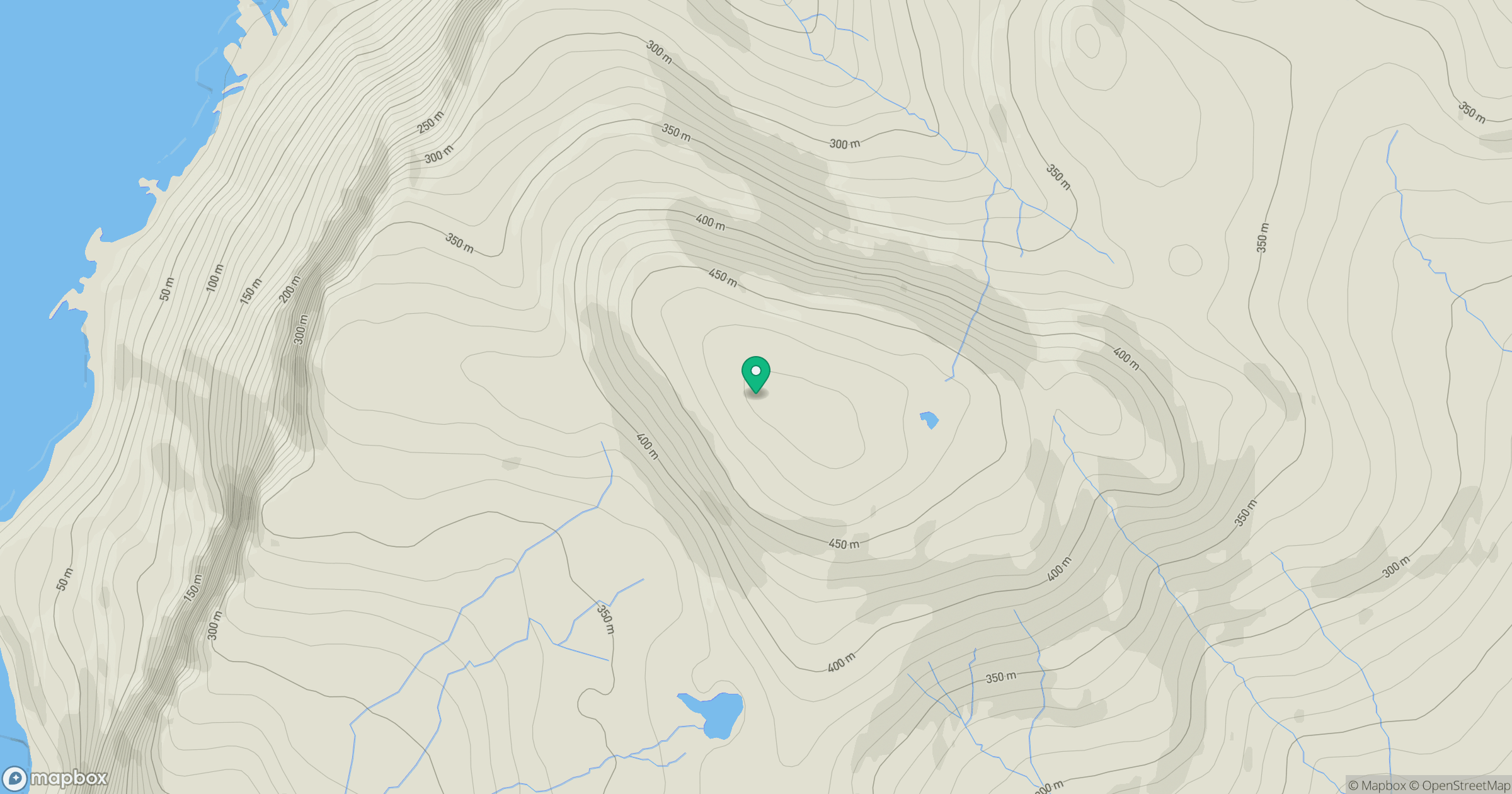
Grid reference: NM419291
View on OpenStreetMapOpens a map in a new tab, centred on the hill.
Hills within 30 km
Straight-line distance, not a walking route or confirmation of access.
No comments yet. Be the first.