

Commonedge Hill
Good walks are even better shared.
Overview
Commonedge Hill
Commonedge Hill may not be the tallest in the land, but it certainly packs a punch with its charm and offering for hikers!
Geology
This hill is primarily composed of clay and siltstone, enriched by the soft whispers of time and weather. These are the materials the land has chosen to present us, shaped by the forces of nature over countless years. Take a moment to appreciate those rocks—they’re not just eye candy!
Routes
One of the best routes to explore is the Popular Circular Walk, which starts at the delightful village of Cogenhoe. This easy trek spans about 5 km and will take around 1.5 hours, perfect for a leisurely stroll or a family outing. As you meander along, keep an eye out for wildlife—this area is known for its diverse flora and fauna.
Summit Features
At the top, you will be greeted by a modest cairn standing proud, just in case you need a quick photo-op. And don’t forget to bring a cheeky picnic—there's no better place to enjoy a sandwich than with sweeping views of the Nene Valley.
Terrain Type
The terrain here is mostly grassy and gentle, with occasional rocky outcrops to keep things interesting. Watch out for the occasional muddy patch if the weather's been a tad unwelcoming!
Views
The vantage point from Commonedge Hill provides stunning views, including a lovely sight of the Mayflower Centre in the distance. The best seasons to catch these vistas are late spring and summer; however, autumn brings a riot of colour that’s hard to beat!
Hazards
While this hill is generally safe for all, it’s wise to tread carefully in muddy conditions, especially after a downpour. Remember to stay on the marked paths if you want to avoid a surprise mud bath!
Nearby Summits
If you're feeling adventurous, nearby Hunsbury Hill awaits, boasting even greater heights at 146 meters. It’s a great option for those who want to extend their hiking day.
Access
Getting to Commonedge Hill is quite straightforward. There’s a small car park near the local nature reserve, and if you're relying on public transport, buses from Northampton will bring you to Cogenhoe.
Facilities
The village of Cogenhoe is just a stone's throw away and has a few cafes and pubs where you can grab a bite or a cup of tea, but remember, the facilities directly at the hill are minimal.
History
As for its name, 'Commonedge' speaks to the historical use of the land for grazing—truly a name steeped in local significance. Over the years, it has become a beloved spot for families and adventurers alike.
So, whether you’re an experienced hiker or just looking for a nice spot for a walk, Commonedge Hill welcomes you with open arms! Bring your best walking shoes and perhaps a light-hearted spirit; after all, we’re not climbing Mount Everest here!
Happy hiking!
Explore routes near Commonedge Hill
Public walks starting within 80 km of this hill. Nearby does not mean a route reaches the summit; check its map and access before setting out.
RSVP Forth Valley: walk around Alva
View route
Loch Leven: Kinross Pier to RSPB Loch Leven Heritage Trail
View route
Loch Leven Heritage Trail: full circuit from Kinross Pier
View route
Devilla Forest: Bordie Loch, Moor Loch and Peppermill Dam Circuit
View route
Route planning notes
These notes describe possible approaches, not verified navigable routes or permission to cross land. Check current paths, local access rules and conditions before setting out.
Popular Circular Walk
A delightful circular walk that takes you through lush greenery and offers a chance to spot local wildlife, starting from the village of Cogenhoe.
Make a day of it, together
Find someone to share the walk with, or organise a day out along a route you like.
Photo Gallery
View all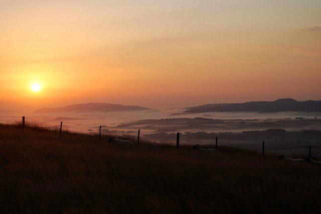 Photo could not load
NN9701 : Commonedge Hill, Ochil Hills
John Chroston
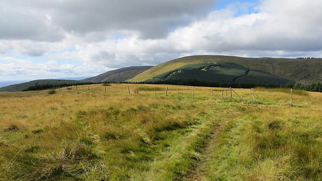 Photo could not load
NN9701 : On Commonedge Hill
Richard Webb
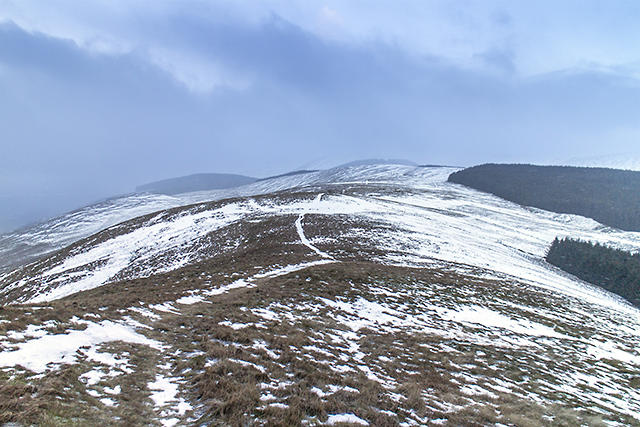 Photo could not load
NN9801 : View towards Commonedge Hill
William Starkey
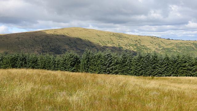 Photo could not load
NN9801 : Innerdownie
Richard Webb
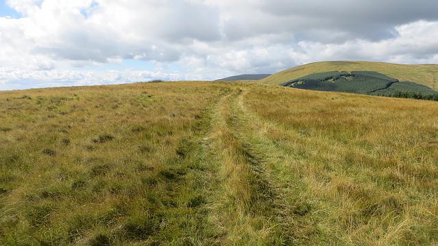 Photo could not load
NN9801 : Summit, Commonedge Hill
Richard Webb
Hill facts and local notes
Classifications
Elevation
468m
1,535 ft
Prominence
135m
Coordinates
56.1954, -3.6448
NN980015
OS Map
58
Explorer: 366E 369
At the Summit
The summit features a small sandy area that provides a perfect picnic spot, along with a modest cairn that has been constructed by fellow hikers as a marker.
Terrain & Geology
Predominantly composed of clay and siltstone, with some areas featuring exposed sandstone, Commonedge Hill is a quintessential example of the local geology, providing a glimpse into geological history shaped by erosion and glaciation.
Views & Scenery
From the summit, you can enjoy stunning views over the Nene Valley and even catch a glimpse of the Mayflower Centre in the distance.
History & Heritage
Name Origin
The name 'Commonedge' likely refers to the common land once used for grazing, highlighting its historical significance to local agriculture.
Historical Significance
Historically, the hill is part of ancient grazing grounds and has been a local favourite for generations of walkers.
Getting There & Facilities
Check current local access restrictions, parking rules and transport timetables before travelling. These notes do not confirm public access to the summit.
Parking
There is a small car park at the entrance to the local nature reserve, located just off Main Street in Cogenhoe.
Public Transport
Bus services to Cogenhoe are available from Northampton, providing a convenient way to reach the area.
Nearby Facilities
Cogenhoe has a few local cafes and pubs for refreshments, although amenities directly at the hill are limited.
Safety Information
Known Hazards
- While the terrain is generally safe, be cautious of muddy patches after rain and ensure you stay on marked paths.
General Safety Tips
- Check weather conditions before setting out
- Carry appropriate clothing and equipment
- Let someone know your planned route
- Take a map, compass, and GPS device
- Carry emergency supplies: food, water, first aid kit, torch
Hills
Some common questions about the hills answered
Are there group walks up Commonedge Hill?
Many walkers use Walkmates to join or organise walks with others. You can check for group walks around Commonedge Hill through the maps
Are there other walkers around Commonedge Hill?
Activity varies by location and time, but Walkmates lets you see whether others have shared walks or shown interest in this area. Find other people through the walking friends search walking friends for Commonedge Hill search or of course create your own walk for Commonedge Hill
Can I organise a walk to Commonedge Hill?
Yes. If there aren’t any walks listed already, you can create a walk and make it available for others to join.
If you're signed up to Walkmates, you can create a walk to Commonedge Hill.
How do I find a walk up this hill?
There are often multiple ways to walk this hill, depending on experience and route preference. Walkmates helps you explore walks and routes that others have shared.
Can I suggest a new route up Commonedge Hill?
Yes. You can suggest or create routes to share with others. Walkmates focuses on the social side of walking, so routes are used to help people organise walks and explore areas together, rather than as detailed navigation tools or route libraries.
Other uses really appreciate knowledgeable walkers sharing their routes. Share your favourite route to Commonedge Hill here
The is an error or something incorrect about this hill. How do I let you know?
We always strive to keep the information on Walkmates as accurate as possible. If you find an error, please let us know through the contact form and we'll aim to correct it as quickly as possible
Community Discussion
Comments
Location
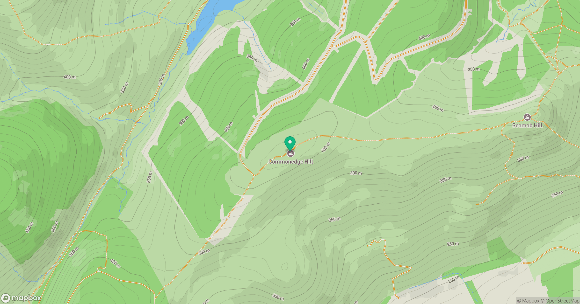
Grid reference: NN980015
View on OpenStreetMapOpens a map in a new tab, centred on the hill.
Hills within 30 km
Straight-line distance, not a walking route or confirmation of access.
No comments yet. Be the first.