
Cnoc an Daimh
Good walks are even better shared.
Overview
Cnoc an Daimh
Cnoc an Daimh, meaning 'Hill of the Stag', stands majestically at an elevation of 548 meters. Nestled in the heart of the Scottish Highlands, this Marilyn offers more than just a hike; it's an immersive experience into the natural beauty of Scotland.
Geology
The region's granitic gneiss offers various geological features, making it not only a feast for the eyes but also a playground for geologists and outdoor enthusiasts. The erosion patterns hint at a history that dates back millions of years, as nature has chiselled away at the rock to create stunning landscapes.
Routes
The most popular way to summit is the Cnoc an Daimh Circuit, which covers approximately 9.2 km. It's a moderately challenging trek, ideal for those looking to balance effort and reward without being entirely out of breath by the end. Expect an average time of around 3.5 hours, depending on your pace and the number of coffee breaks you take to enjoy the views!
Summit Features
Upon reaching the summit, hikers are greeted by a well-constructed cairn marking the top. It’s a great spot to stop, take in the panoramas, and revel in the joy of accomplishment. The emerald greens and purple heaths surrounding you provide ample opportunities for stunning photos to make your friends jealous!
Terrain
The terrain is mostly grassy, with rocky outcrops adding a bit of challenge and interest to your hike. Keep an eye out for the occasional boggy patch; after all, what’s a good hike without a little adventure?
Views
Cnoc an Daimh is known for its breathtaking views. From the summit, you can see the Isle of Skye and the impressive Cuillin mountains. Try to catch the sunset; the golden light cast across the landscape is simply spectacular.
Hazards
As with all Scottish mountains, don't underestimate the weather! Conditions can change on a dime here, so it’s vital to be prepared. Also, be cautious of the rocky areas and the potential for slippery paths, especially after a rain.
Access and Amenities
With nearest parking available at a lay-by near Torrin, access is relatively straightforward. Public transport is limited, so consider driving or checking local transport schedules. Broadford, just 12 km away, is the closest town where amenities are available.
Conclusion
In conclusion, Cnoc an Daimh is a beautiful, accessible hill that encapsulates the spirit of Scottish hiking. Whether you’re a seasoned walker or a casual rambler, this hill offers a little something for everyone. So lace up those boots and prepare for an adventure!
Explore routes near Cnoc an Daimh
Public walks starting within 80 km of this hill. Nearby does not mean a route reaches the summit; check its map and access before setting out.
Unled club outing: Glenesk (coach departure)
View route
Unled club outing: Xmas Walk - Bankfoot - Dunkeld (coach departure)
View route
Unled club outing: Angus coastal walk (coach departure)
View route
Unled club outing: Glen Moy/Glenogil (shared-car departure)
View route
Route planning notes
These notes describe possible approaches, not verified navigable routes or permission to cross land. Check current paths, local access rules and conditions before setting out.
Cnoc an Daimh Circuit
A moderately challenging circuit that combines scenic views with varying terrain, starting from Torrin.
Make a day of it, together
Find someone to share the walk with, or organise a day out along a route you like.
Hill facts and local notes
Classifications
Elevation
514m
1,686 ft
Prominence
108m
Coordinates
56.7499, -3.4701
NO101629
OS Map
43
Explorer: OL52S 387S
At the Summit
The summit features a prominent cairn, which provides a perfect backdrop for a celebratory selfie once you've summited. The surrounding area is adorned with stunning heather that paints the landscape in hues of purple, especially in late summer.
Terrain & Geology
The geology of Cnoc an Daimh is characterized by granitic gneiss, offering vitality to the landscape, as well as a rich variety of rock formations that speak to the geological history of the Scottish Highlands. The erosion patterns create stunning vistas and interesting rock formations for curious geologists.
Views & Scenery
From the summit, you can enjoy breathtaking views of the Isle of Skye, the Cuillin mountains, and the shimmering waters of Loch Slapin.
History & Heritage
Name Origin
Cnoc an Daimh translates to 'Hill of the Stag' in Gaelic, paying homage to the rich wildlife that once roamed these lands.
Historical Significance
While Cnoc an Daimh may not be as famous as some of its towering neighbours, it holds a charm that resonates with those seeking peace and natural beauty.
Getting There & Facilities
Check current local access restrictions, parking rules and transport timetables before travelling. These notes do not confirm public access to the summit.
Parking
Parking is available at the small lay-by along the A87 near Torrin, just a short walk from the trailhead.
Public Transport
Public transport in the area is limited; however, buses do service local villages, so checking the schedule prior to your trip is recommended.
Nearby Facilities
In Broadford, you can find a range of facilities, including cafes, restaurants, and public toilets. Just the kind of place to refuel post-hike!
Safety Information
Known Hazards
- Be mindful of changeable weather conditions in the Highlands. Paths can become slippery and visibility may drop suddenly. Additionally, watch out for loose rocks and soggy patches!
General Safety Tips
- Check weather conditions before setting out
- Carry appropriate clothing and equipment
- Let someone know your planned route
- Take a map, compass, and GPS device
- Carry emergency supplies: food, water, first aid kit, torch
Hills
Some common questions about the hills answered
Are there group walks up Cnoc an Daimh?
Many walkers use Walkmates to join or organise walks with others. You can check for group walks around Cnoc an Daimh through the maps
Are there other walkers around Cnoc an Daimh?
Activity varies by location and time, but Walkmates lets you see whether others have shared walks or shown interest in this area. Find other people through the walking friends search walking friends for Cnoc an Daimh search or of course create your own walk for Cnoc an Daimh
Can I organise a walk to Cnoc an Daimh?
Yes. If there aren’t any walks listed already, you can create a walk and make it available for others to join.
If you're signed up to Walkmates, you can create a walk to Cnoc an Daimh.
How do I find a walk up this hill?
There are often multiple ways to walk this hill, depending on experience and route preference. Walkmates helps you explore walks and routes that others have shared.
Can I suggest a new route up Cnoc an Daimh?
Yes. You can suggest or create routes to share with others. Walkmates focuses on the social side of walking, so routes are used to help people organise walks and explore areas together, rather than as detailed navigation tools or route libraries.
Other uses really appreciate knowledgeable walkers sharing their routes. Share your favourite route to Cnoc an Daimh here
The is an error or something incorrect about this hill. How do I let you know?
We always strive to keep the information on Walkmates as accurate as possible. If you find an error, please let us know through the contact form and we'll aim to correct it as quickly as possible
Community Discussion
Comments
Location
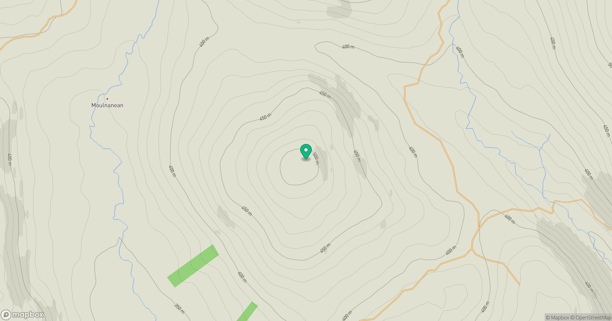
Grid reference: NO101629
View on OpenStreetMapOpens a map in a new tab, centred on the hill.
Hills within 30 km
Straight-line distance, not a walking route or confirmation of access.
Beinn a' Ghlo - Carn nan Gabhar
1,122m
Beinn a' Ghlo - Braigh Coire Chruinn-bhalgain
1,070m
Beinn a' Ghlo - Carn Liath
976m
Driesh
948m
Lochnagar - Cac Carn Beag
1,156m
No comments yet. Be the first.