

Ben Gulabin
Good walks are even better shared.
NO0972 : Summit plateau of Ben Gulabin
Alan O'Dowd Photo source
Overview
Ben Gulabin
Introduction
Ben Gulabin, a splendid Munro located in the Southern Cairngorms, reaches an elevation of 761 meters. Known for its remarkable views and rich biodiversity, it’s a treasure trove for hikers.
Geology
The mountain primarily consists of granite, typical for this region, offering not just solid ground but a spectacular landscape filled with amazing flora and fauna.
Routes
East Ridge Route
This well-trodden path begins from the Gourdon Woods car park and meanders up through lush forests before emerging onto the open slopes. Expect a moderately challenging trek with some rocky sections.
Distance and Time
Approximately 10.5 km round-trip, expect to spend about 4.5 hours depending on your pace and how often you stop to enjoy the view (and trust me, you will want to stop!).
Summit Features
At the summit, you are welcomed by a quaint cairn, perfect for selfies. There's ample space to spread out a picnic blanket and pretend to be the king or queen of the world!
Terrain Type
The terrain varies from rocky to grassy, with occasional boggy patches; your own outdoor version of 'Hopscotch' might come in handy here.
Views
Highlights
From the top, enjoy breathtaking views of the Southern Cairngorms, Glenshee, and Strathardle. Definitely a sight for sore eyes and tired legs!
Best Seasons
Late spring or early autumn are ideal for the best views when the weather behaves itself, and the landscape is a riot of colours.
Hazards
As with any mountain, dangers can lurk, especially if the weather decides to throw a tantrum. Be prepared for sudden changes and keep an eye out for loose rocks on steeper parts.
Nearby Summits
Just over the hill, you can also explore Cairn of Claise (939 m) and Creag Leacach (953 m), both of which will be waiting to give you a run for your money.
Access
Nearest Parking
Head to the Gourdon Woods car park, which has limited spaces. Arrive early, or you might end up parking 5 miles away (not really, but you get the idea!).
Public Transport
Buses run from Blairgowrie to Kirkmichael during the summer. Always check local schedules before heading out, as they can change.
Nearest Town
Blairgowrie, a charming town approximately 15 km away, is your best bet for amenities.
Facilities
Cafes, toilets, and shops can be found in Blairgowrie, so stock up before your ascent! Nothing worse than being caught with an empty lunch.
Conclusion
Ben Gulabin is a beautiful mountain that offers a satisfying challenge with rewarding views. So lace up those boots, pack the snacks, and set out for a memorable adventure!
Remember: Our mountains are not going anywhere, but you sure will be—enjoy every step!
Explore routes near Ben Gulabin
Walks starting near this hill. Open a route to check its map, distance and full itinerary.
Unled club outing: West Drumochter/Beinn Udlamain (coach departure)
View route
Unled club outing: Glenesk (coach departure)
View route
Unled club outing: Xmas Walk - Bankfoot - Dunkeld (coach departure)
View route
Unled club outing: Angus coastal walk (coach departure)
View route
Route planning notes
These notes describe possible approaches. Check a route's map and access information when planning your walk.
East Ridge Route
A popular route that begins from the car park at the edge of the forest, leading up along a well-defined path to the summit.
Make a day of it, together
Find someone to share the walk with, or organise a day out along a route you like.
Photo Gallery
View all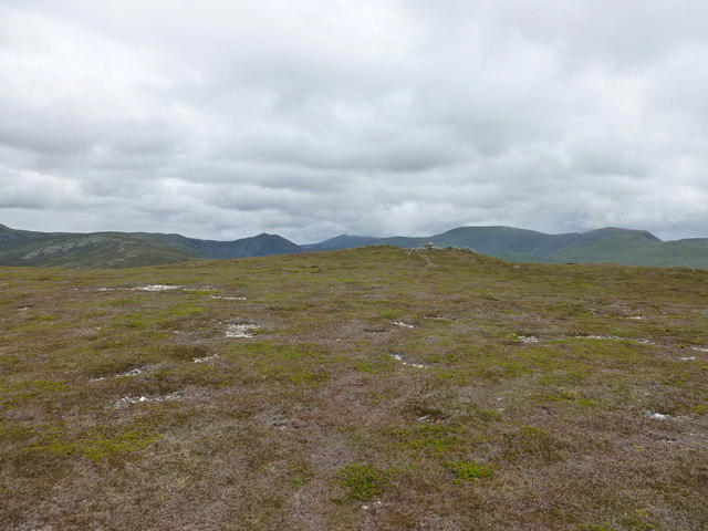 Photo could not load
NO0972 : Summit plateau of Ben Gulabin
Alan O'Dowd
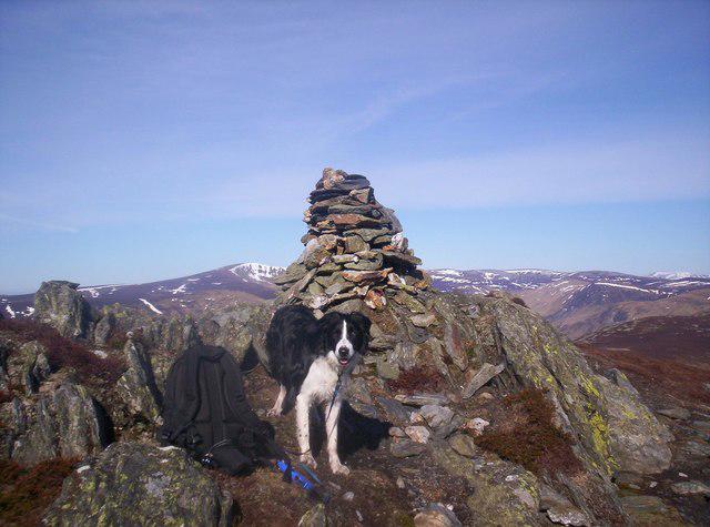 Photo could not load
NO1072 : Ben Gulabin
Neil MacLeod
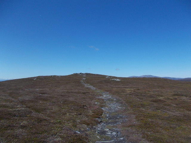 Photo could not load
NO1072 : Approaching the summit of Ben Gulabin
Iain Russell
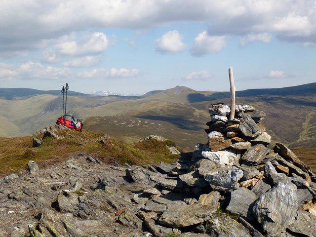 Photo could not load
NO1072 : Ben Gulabin
Rude Health
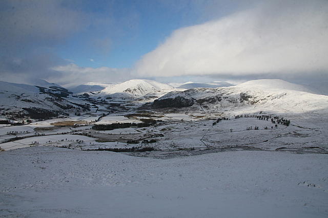 Photo could not load
NO1072 : Ben Gulabin and Glen Shee
Dan
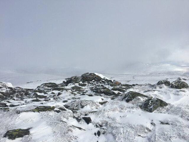 Photo could not load
NO1072 : Summit of Ben Gulabin
Steven Brown
Hill facts and local notes
Classifications
Elevation
806m
2,644 ft
Prominence
203m
Coordinates
56.8327, -3.4759
NO100722
OS Map
43
Explorer: OL52N 387N
At the Summit
The summit boasts a small cairn and provides ample space for picnics—if you fancy a nibble with a view!
Terrain & Geology
Ben Gulabin is predominantly composed of granite, typical of the Cairngorms, which provides a rugged landscape and contributes to the rich biodiversity in the area.
Views & Scenery
From the summit, you can enjoy panoramic views of the Southern Cairngorms, including nearby peaks like Glenshee and the sprawling landscape of Strathardle.
History & Heritage
Name Origin
The name 'Gulabin' is thought to derive from the Gaelic 'Gualainn,' meaning 'shoulder,' indicative of the mountain's shape.
Historical Significance
Ben Gulabin is a well-known trekking destination, featuring prominently in local folklore and gaining popularity among hikers due to its accessibility.
Getting There & Facilities
Parking
Parking is available at the Gourdon Woods car park, which has space for a handful of vehicles. Arrive early to secure a spot!
Public Transport
Regular bus services operate from nearby towns like Blairgowrie to Kirkmichael during summer months. Check local timetables for updates.
Nearby Facilities
The nearest facilities are located in Blairgowrie, where you can find cafes, toilets, and shops to replenish any essential supplies.
Safety Information
Known Hazards
- Due to variable weather conditions, sudden changes can occur; ensure you come prepared. Also, loose rocks can be encountered on steeper sections.
General Safety Tips
- Check weather conditions before setting out
- Carry appropriate clothing and equipment
- Let someone know your planned route
- Take a map, compass, and GPS device
- Carry emergency supplies: food, water, first aid kit, torch
Hills
Some common questions about the hills answered
Are there group walks up Ben Gulabin?
Many walkers use Walkmates to join or organise walks with others. You can check for group walks around Ben Gulabin through the maps
Are there other walkers around Ben Gulabin?
Activity varies by location and time, but Walkmates lets you see whether others have shared walks or shown interest in this area. Find other people through the walking friends search walking friends for Ben Gulabin search or of course create your own walk for Ben Gulabin
Can I organise a walk to Ben Gulabin?
Yes. If there aren’t any walks listed already, you can create a walk and make it available for others to join.
If you're signed up to Walkmates, you can create a walk to Ben Gulabin.
How do I find a walk up this hill?
There are often multiple ways to walk this hill, depending on experience and route preference. Walkmates helps you explore walks and routes that others have shared.
Can I suggest a new route up Ben Gulabin?
Yes. You can suggest or create routes to share with others. Walkmates focuses on the social side of walking, so routes are used to help people organise walks and explore areas together, rather than as detailed navigation tools or route libraries.
Other uses really appreciate knowledgeable walkers sharing their routes. Share your favourite route to Ben Gulabin here
The is an error or something incorrect about this hill. How do I let you know?
We always strive to keep the information on Walkmates as accurate as possible. If you find an error, please let us know through the contact form and we'll aim to correct it as quickly as possible
Community Discussion
Comments
Location
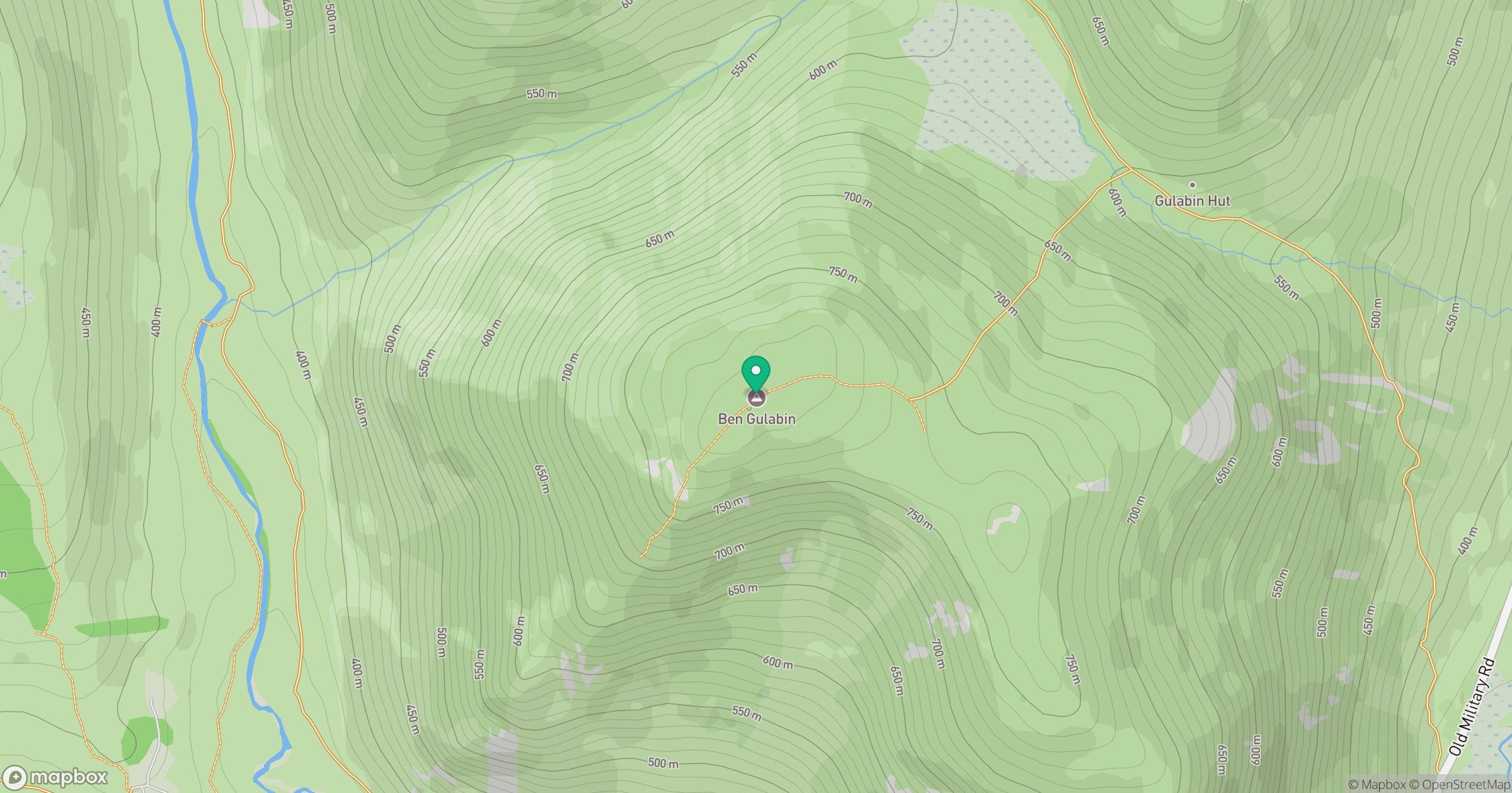
Grid reference: NO100722
View on OpenStreetMapOpens a map in a new tab, centred on the hill.
No comments yet. Be the first.