

Cleabarrow Hill
Good walks are even better shared.
SD4296 : View to Grandsire from Cleabarrow Hill
Graham Robson Photo source
Overview
Cleabarrow Hill: A Hidden Gem in the Lake District
Cleabarrow Hill may not be the highest in the Lake District, but what it lacks in height, it certainly makes up for in charm! Rising to an elevation of 259 meters, this hill is perfect for those looking to enjoy a manageable hike with stunning views.
Geology
Cleabarrow Hill is a fascinating tapestry woven from volcanic rock and sedimentary layers, hinting at the dynamic geological processes that shaped the Lake District. As you climb, take a moment to ponder the forces of nature that created this beautiful landscape.
The Route
The most popular route to the summit begins in Windermere. The Windermere to Cleabarrow path spans approximately 6 km and typically takes about 2.5 hours to complete. It's a moderate trek, better than getting stuck in a boring meeting, and it will have you seeing sights within minutes!
Summit Features
The summit is marked by a cute little cairn and a trig point, a classic feature for any hill in the UK. It’s a fantastic selfie spot or a perfect place to recline and enjoy your packed lunch while contemplating both life and the dramatic scenery.
Terrain
Expect a mixture of grassy slopes and rocky terrain, with a few boggy patches that could challenge your balance. Wear sensible footwear and tread carefully; you don't want to make a splash in the mud unless you're looking for a new fashion statement!
Views
Once at the top, prepare for breathtaking panoramic views. On a clear day, you’ll be able to see the shimmering waters of Lake Windermere alongside the impressive Langdale Pikes. The best time to enjoy these views is in spring or early autumn, when the visibility is typically at its peak.
Hazards
With great views come great responsibilities—or something like that! Be cautious of slippery rocks and sudden changes in the weather—it's the Lake District after all! Don't let a strong gust of wind pick you up and carry you away like a leaf!
Access
Getting to Cleabarrow Hill is straightforward. There’s a car park at the foot of the hill, near Windermere train station, where you can safely leave your vehicle. Additionally, reliable public transport connects Windermere with other major towns, making it a viable option for those who prefer to leave the car at home.
Facilities
Once you've conquered Cleabarrow Hill, head back to Windermere for some well-deserved treats. A café nearby offers scrumptious cakes and tea to help you celebrate your accomplishment—because what’s a hike without a little indulgence?
History
The name Cleabarrow harkens back to Old Norse origins, meaning 'clear barrow', likely referring to ancient burial mounds that could have once dotted the landscape. This connection to history adds an enriching layer to your hiking experience.
In summary, Cleabarrow Hill may not be the tallest peak in the Lake District, but its accessible route, stunning views, and historical significance make it a must-visit for any hiking enthusiast . So lace up those boots and enjoy this delightful hill!
Explore routes near Cleabarrow Hill
Walks starting near this hill. Open a route to check its map, distance and full itinerary.
Sizergh: Park End Moss and Brigsteer Park Wood Circuit
View route
Tarn Hows Fast Route
View route
Coniston to Tarn Hows: Monk Coniston Gardens and Woodland Circuit
View route
Great Carrs Halifax Wreckage from Wrynose Pass
View route
Route planning notes
These notes describe possible approaches. Check a route's map and access information when planning your walk.
Windermere to Cleabarrow
A well-trodden path that begins at Windermere and leads directly up to the summit, providing a moderate challenge.
Make a day of it, together
Find someone to share the walk with, or organise a day out along a route you like.
Photo Gallery
View all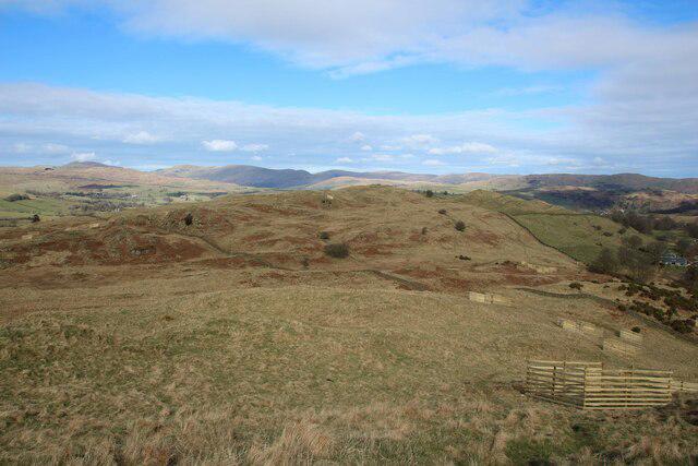 Photo could not load
SD4296 : View to Grandsire from Cleabarrow Hill
Graham Robson
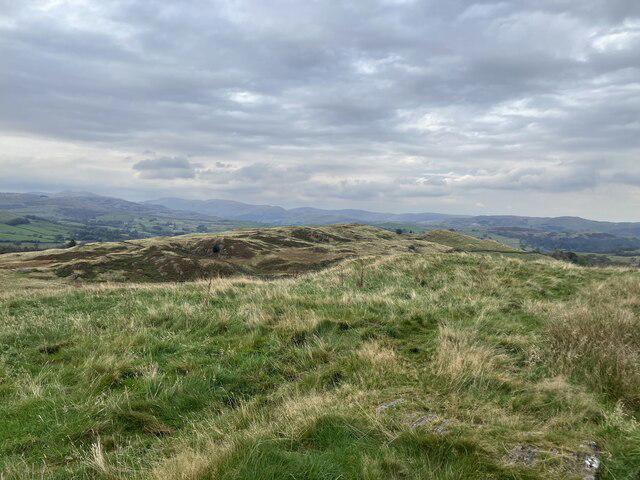 Photo could not load
SD4296 : Cleabarrow Hill
Anthony Foster
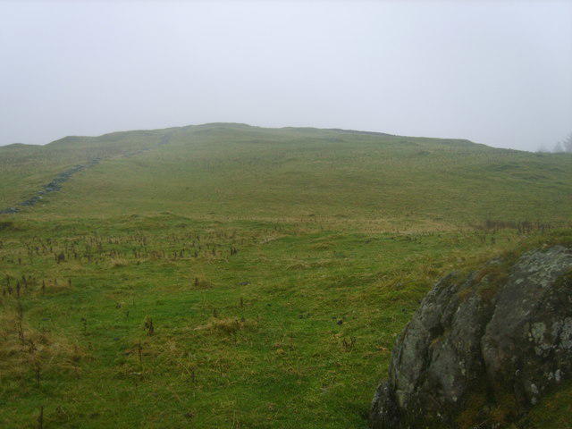 Photo could not load
SD4296 : Nameless Summit
Michael Graham
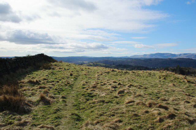 Photo could not load
SD4296 : Top of Cleabarrow Hill
Graham Robson
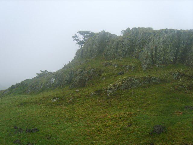 Photo could not load
SD4296 : Nameless Summit on School Knott
Michael Graham
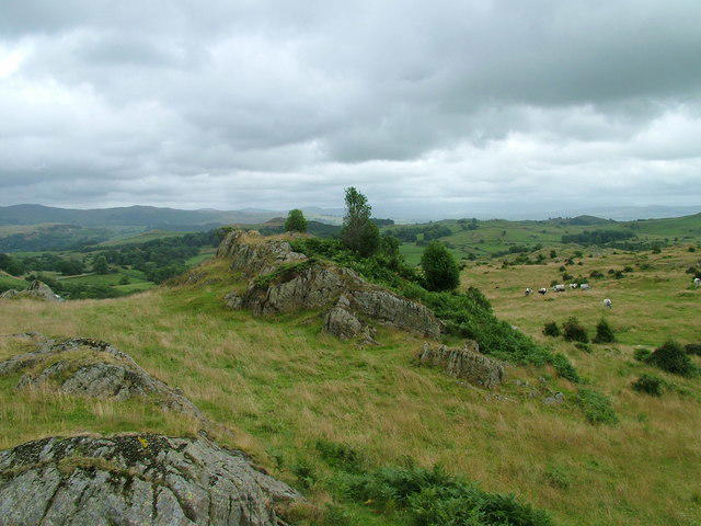 Photo could not load
SD4296 : Crags near School Knott Tarn
David Brown
Hill facts and local notes
Classifications
Elevation
248m
814 ft
Prominence
31m
Coordinates
54.3625, -2.8805
SD428966
OS Map
96 97
Explorer: OL7N
At the Summit
The summit features a modest cairn and a trig point, offering a perfect spot for a picture or a cheeky selfie.
Terrain & Geology
Cleabarrow Hill is predominantly composed of volcanic rock, with scattered sedimentary layers, showcasing classic features of the region's ancient geological past.
Views & Scenery
Panoramic views of Lake Windermere and the surrounding fells, with the Langdale Pikes visible on a clear day.
History & Heritage
Name Origin
The name Cleabarrow is believed to originate from Old Norse, meaning 'clear barrow', referring to a burial mound.
Historical Significance
Cleabarrow Hill has historical significance due to its ancient trade routes and its role in local folklore.
Getting There & Facilities
Parking
There is a small car park at the foot of the hill, located near Windermere train station; arrives early to nab a spot!
Public Transport
Frequent trains and buses connect to Windermere, making it accessible for those preferring not to drive.
Nearby Facilities
The nearest café is in Windermere, offering delicious homemade cakes and the essential cuppa after your trek.
Safety Information
Known Hazards
- Beware of slippery rocks and sudden weather changes typical of the Lake District; windy days might make you feel like a kite!
General Safety Tips
- Check weather conditions before setting out
- Carry appropriate clothing and equipment
- Let someone know your planned route
- Take a map, compass, and GPS device
- Carry emergency supplies: food, water, first aid kit, torch
Hills
Some common questions about the hills answered
Are there group walks up Cleabarrow Hill?
Many walkers use Walkmates to join or organise walks with others. You can check for group walks around Cleabarrow Hill through the maps
Are there other walkers around Cleabarrow Hill?
Activity varies by location and time, but Walkmates lets you see whether others have shared walks or shown interest in this area. Find other people through the walking friends search walking friends for Cleabarrow Hill search or of course create your own walk for Cleabarrow Hill
Can I organise a walk to Cleabarrow Hill?
Yes. If there aren’t any walks listed already, you can create a walk and make it available for others to join.
If you're signed up to Walkmates, you can create a walk to Cleabarrow Hill.
How do I find a walk up this hill?
There are often multiple ways to walk this hill, depending on experience and route preference. Walkmates helps you explore walks and routes that others have shared.
Can I suggest a new route up Cleabarrow Hill?
Yes. You can suggest or create routes to share with others. Walkmates focuses on the social side of walking, so routes are used to help people organise walks and explore areas together, rather than as detailed navigation tools or route libraries.
Other uses really appreciate knowledgeable walkers sharing their routes. Share your favourite route to Cleabarrow Hill here
The is an error or something incorrect about this hill. How do I let you know?
We always strive to keep the information on Walkmates as accurate as possible. If you find an error, please let us know through the contact form and we'll aim to correct it as quickly as possible
Community Discussion
Comments
Location
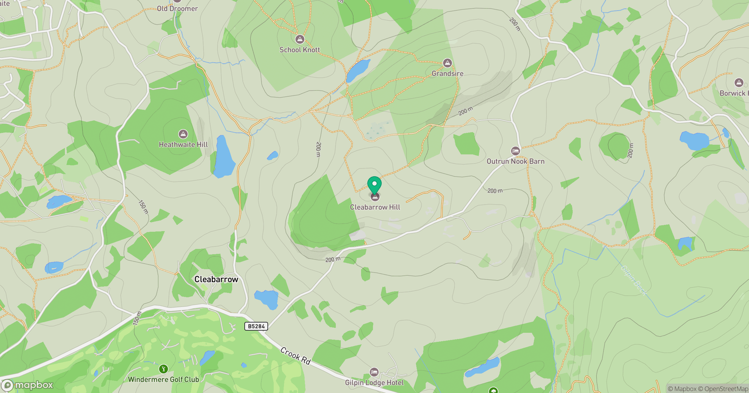
Grid reference: SD428966
View on OpenStreetMapOpens a map in a new tab, centred on the hill.

No comments yet. Be the first.