

Bryn y Fan
Good walks are even better shared.
SN9388 : Bryn Y Fan
William Pugh Photo source
Overview
Bryn y Fan: A Hiker's Delight
Bryn y Fan stands proudly at 670 meters, dominating the landscape of the Brecon Beacons National Park. Home to a delightful mix of geological features and rich folklore, it's a gem for hikers looking for both challenge and beauty.
Geology
Bryn y Fan's foundations lie in the ancient mudstones and sandstones crafted during the Carboniferous period. Whether you're a geology buff or simply a lover of stunning views, the varied rock formations and scenic slopes will not disappoint. Just try not to slip while admiring the strata!
Routes
One popular route takes you from the car park at Llyn y Fan Fach, weaving through breathtaking scenery and leading to the summit. At a respectable 7.5 km round trip, it offers a moderate challenge perfect for a lively day out, but make sure those boots are made for walking!
Summit Features
At the summit, you’re greeted by a rugged rocky outcrop and a humble cairn, perfect for photo opportunities. Don’t forget to take a break; while the views are captivating, they’re rather thirsty work.
Terrain Type
Expect rugged paths and grassy slopes interspersed with occasional muddy patches. It’s a bit like trying to navigate a plate of spaghetti—gotta watch where you step!
Views
Once atop Bryn y Fan, you'll feast your eyes on the stunning Black Mountain range, Llyn y Fan Fach sparkling below, and expansive valleys stretching towards the horizon. For the best photographs, visit in late spring or autumn when the skies are clear and the landscape is at its most vibrant. And if you can manage it, an early morning or late afternoon ascent is magical.
Hazards
As always, be wary of the fickle Welsh weather—sunshine can swiftly turn to rain. Additionally, the rocks can be slippery, and muddy patches abound, so save that dance for the dance floor!
Nearby Summits
A short jaunt will take you to nearby summits like Fan Brycheiniog or Waun Rydd, both vying for your attention with their unique views.
Access
To reach Bryn y Fan, head to the small car park at the end of the road near Llyn y Fan Fach. Be warned, it can fill up faster than a pub on a Friday night, so arrive early! If you prefer public transport, you may have to stretch your legs a bit further from the nearest bus stop.
Facilities
While Bryn y Fan itself lacks facilities, Brecon is just a short drive away and offers ample cafes and shops where you can refuel after a day of exploring the mountain.
History
As its name suggests, 'Bryn y Fan' translates to 'Hill of the Beacon' in Welsh. The area is rich in folklore, with many tales dwelling in the shadows of its slopes. It’s easy to see why this mountain has captured the hearts of many—a place where nature and stories intertwine.
So lace up your boots, pack some snacks, and head to Bryn y Fan for an unforgettable outing!
Explore routes near Bryn y Fan
Walks starting near this hill. Open a route to check its map, distance and full itinerary.
Elan Valley: Reservoir Trail to Pen y Garreg Dam
View route
Waun-oer, Maesglase and Cribin Fawr guided mountain walk
View route
Welshpool to Sweeps Bridge: Montgomery Canal and Belan Locks
View route
Cadair Idris - Pony Path
View route
Route planning notes
These notes describe possible approaches. Check a route's map and access information when planning your walk.
Bryn y Fan to Llyn y Fan Fach
A scenic circular route leading from the car park at the end of the road to the stunning Llyn y Fan Fach, with a gentle ascent to the summit of Bryn y Fan.
Make a day of it, together
Find someone to share the walk with, or organise a day out along a route you like.
Photo Gallery
View all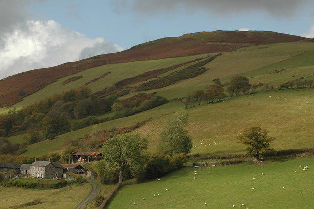 Photo could not load
SN9388 : Bryn Y Fan
William Pugh
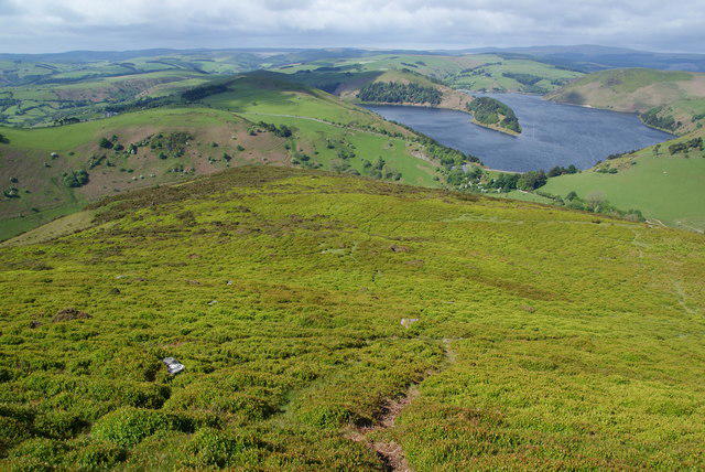 Photo could not load
SN9388 : The south west side of Bryn y Fan
Bill Boaden
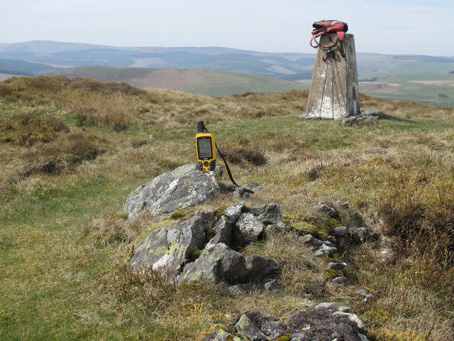 Photo could not load
SN9388 : Bryn y Fan
Rude Health
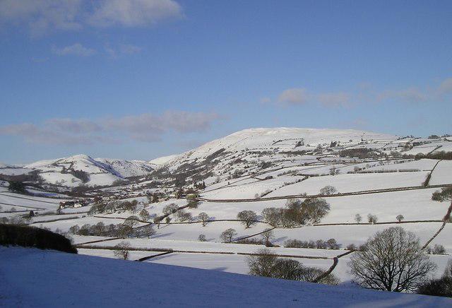 Photo could not load
SN9388 : Bryn y Fan
Chris Andrews
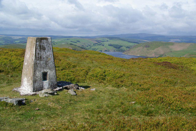 Photo could not load
SN9388 : Trig point on Bryn y Fan
Bill Boaden
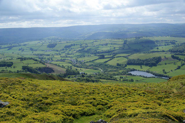 Photo could not load
SN9388 : The top of Bryn y Fan on the south east side
Bill Boaden
Hill facts and local notes
Classifications
Elevation
482m
1,581 ft
Prominence
175m
Coordinates
52.4839, -3.5753
SN931884
OS Map
136
Explorer: 214W
At the Summit
The summit is crowned by a large rocky outcrop and offers a modest cairn; it's the perfect spot to stop for a well-earned snack or consider the meaning of life—or at least why you forgot to pack that extra sandwich.
Terrain & Geology
Bryn y Fan is primarily composed of mudstone and sandstone, typical of the South Wales geology. The striking escarpment formed during the Carboniferous period provides a glimpse into the area's ancient history.
Views & Scenery
Views of the Black Mountain range, Llyn y Fan Fach, and the sweeping valleys of the Brecon Beacons.
History & Heritage
Name Origin
The name 'Bryn y Fan' translates to 'Hill of the Beacon' in Welsh, reflecting its prominent position in the landscape.
Historical Significance
This area is steeped in Welsh folklore, with tales of fairies and ancient warriors, making it a magnet for both hikers and history lovers.
Getting There & Facilities
Parking
A small car park located at the end of the road near Llyn y Fan Fach, though it does fill up quickly on weekends. Arrive early to nab a spot!
Public Transport
Limited public transport options; the nearest bus services run to the village of Ffairfach, approximately 8 miles away, so a car is recommended.
Nearby Facilities
There are no facilities on the hill itself; however, the town of Brecon offers cafes, shops, and public toilets for pre- or post-hike refreshment.
Safety Information
Known Hazards
- Watch out for sudden weather changes, which can occur even on sunny days. Slippery rocks and muddy patches are common, so tread carefully!
General Safety Tips
- Check weather conditions before setting out
- Carry appropriate clothing and equipment
- Let someone know your planned route
- Take a map, compass, and GPS device
- Carry emergency supplies: food, water, first aid kit, torch
Hills
Some common questions about the hills answered
Are there group walks up Bryn y Fan?
Many walkers use Walkmates to join or organise walks with others. You can check for group walks around Bryn y Fan through the maps
Are there other walkers around Bryn y Fan?
Activity varies by location and time, but Walkmates lets you see whether others have shared walks or shown interest in this area. Find other people through the walking friends search walking friends for Bryn y Fan search or of course create your own walk for Bryn y Fan
Can I organise a walk to Bryn y Fan?
Yes. If there aren’t any walks listed already, you can create a walk and make it available for others to join.
If you're signed up to Walkmates, you can create a walk to Bryn y Fan.
How do I find a walk up this hill?
There are often multiple ways to walk this hill, depending on experience and route preference. Walkmates helps you explore walks and routes that others have shared.
Can I suggest a new route up Bryn y Fan?
Yes. You can suggest or create routes to share with others. Walkmates focuses on the social side of walking, so routes are used to help people organise walks and explore areas together, rather than as detailed navigation tools or route libraries.
Other uses really appreciate knowledgeable walkers sharing their routes. Share your favourite route to Bryn y Fan here
The is an error or something incorrect about this hill. How do I let you know?
We always strive to keep the information on Walkmates as accurate as possible. If you find an error, please let us know through the contact form and we'll aim to correct it as quickly as possible
Community Discussion
Comments
Location
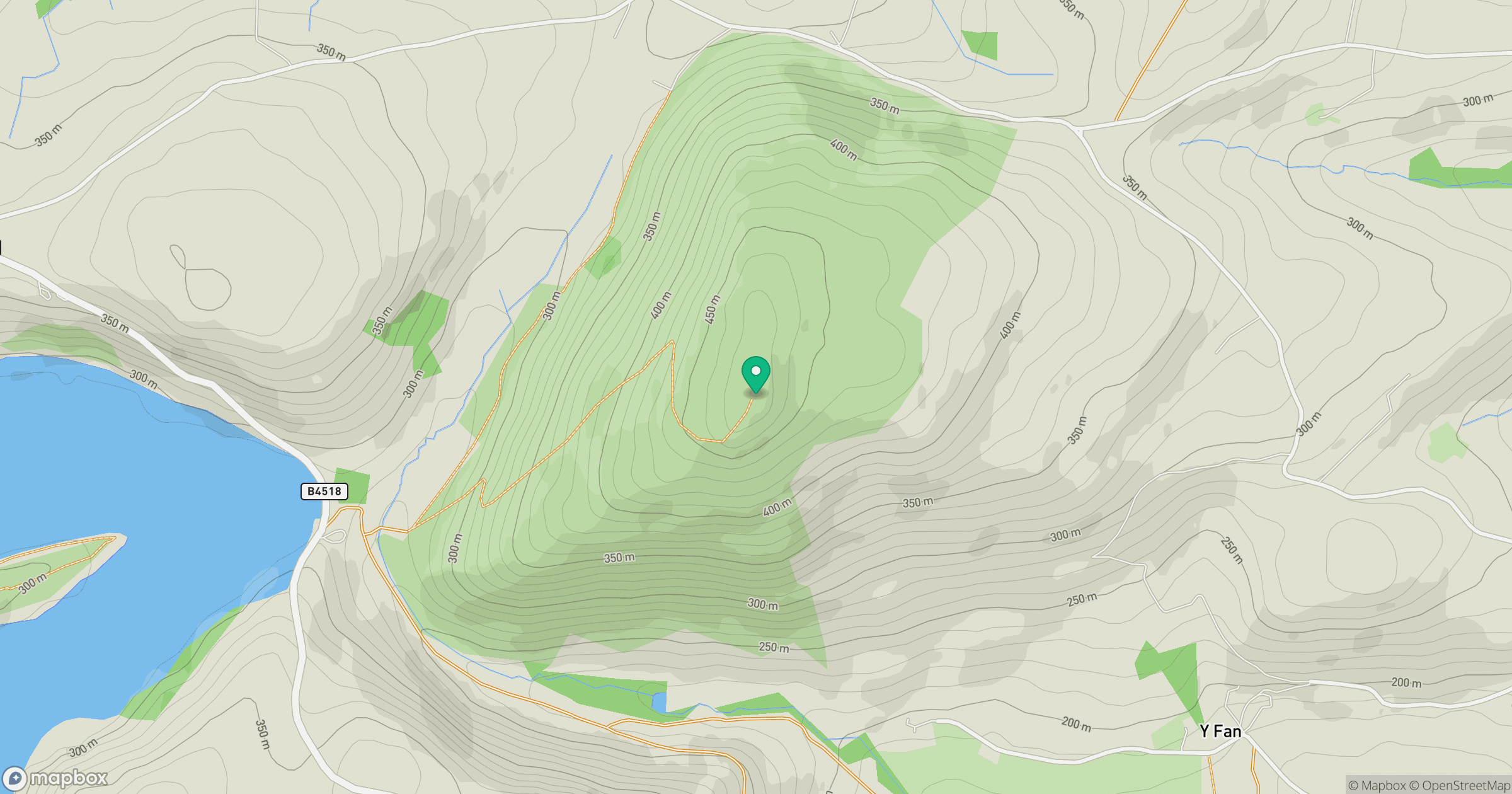
Grid reference: SN931884
View on OpenStreetMapOpens a map in a new tab, centred on the hill.
Nearby Hills
Pumlumon Fawr [Plynlimon]
753m
Aran Fawddwy
906m
Carneddau
445m
Cadair Idris - Penygadair
893m
Cadair Berwyn
832m
No comments yet. Be the first.