
Beinn Tharsuinn
Good walks are even better shared.
Overview
Beinn Tharsuinn
Overview
Beinn Tharsuinn, standing at a proud 715 meters, is a crown jewel nestled within the Scottish Highlands. Known for its eye-catching summit and scenic views, it’s not just another bump on the map; it's a delightful challenge for any hillwalker.
Geology
The rugged schist layers of Beinn Tharsuinn tell stories of ancient geological activity. This terrain provides an exhilarating experience for hikers, with its rocky paths and remarkable vistas. Don't forget to take a moment to appreciate the evidence of glaciers that shaped this majestic mountain.
Hiking Routes
The Carn Liath Route is the quintessential path for those looking to scale Beinn Tharsuinn. Spanning 9.5 km and taking approximately 4 hours, it offers a moderate challenge with plenty of beautiful scenery mixed in.
Summit Features
At the top, the stone cairn awaits; it’s a perfect place for a photo op to showcase your conquests on social media. Don’t forget to add the obligatory ‘I conquered Beinn Tharsuinn!’ caption!
Terrain
Expect a mix of rocky outcrops, grassy areas, and the occasional bog. This is true Highland terrain, where good shoes are more than just a fashion statement; they’re a necessity!
Views
The views from the summit are nothing short of spectacular. Look out towards Loch Ness and the Monadhliath mountains, and with a bit of luck, spot Ben Nevis in the distance. Make sure to time your ascent for a sunny day, as cloudy weather can put a damper on those postcard moments!
Hazards
As wonderful as hiking up Beinn Tharsuinn is, do keep your wits about you. The weather can turn on a dime, and slippery rocks are a common sight on many paths. Ensure your footing is secure, and always stay on marked routes.
Nearby Summits
If you fancy extending your adventure, consider venturing to nearby summits such as Carn Liath and Sgurr na Lapaich, both offering unique experiences as well.
Access
- Nearest Parking: Available at NH606792, where you'll find ample space, but it can fill up fast. Arrive early!
- Public Transport: Buses run from Inverness, about 30 km away, bringing you closer to adventure.
- Nearest Town: Inverness; a bustling hub with all the amenities you might need.
Facilities
Inverness is packed with cafes and eateries galore. Make sure to fuel up before your hike, and take advantage of the public conveniences available.
History
The mountain’s name reflects its unique shape, while locals weave tales that add depth to its character. Beinn Tharsuinn warms the hearts of those who seek to explore its heights, making it a significant part of Highland culture.
Conclusion
Whether you’re a seasoned climber or a casual walker seeking your next adventure, Beinn Tharsuinn promises stunning views and memorable experiences. Remember, it’s not just about reaching the summit; it’s about enjoying every step of the journey!
Happy hiking!
Explore routes near Beinn Tharsuinn
Walks starting near this hill. Open a route to check its map, distance and full itinerary.
Loch Migdale from Torroy: Spinningdale pinewood and loch shore walk
View route
Culbin Forest: Hill 99, Gravel Pit Ponds and Dragonfly Pool
View route
Findhorn guided night walk
View route
Ben Klibreck
View route
Route planning notes
These notes describe possible approaches. Check a route's map and access information when planning your walk.
Carn Liath Route
A moderately challenging trek starting from the car park at NH606792, leading hikers through scenic glens and up a steep but manageable ascent to the summit.
Make a day of it, together
Find someone to share the walk with, or organise a day out along a route you like.
Hill facts and local notes
Classifications
Elevation
692m
2,270 ft
Prominence
353m
Coordinates
57.7815, -4.3453
NH606792
OS Map
21
Explorer: 438W
At the Summit
The summit features a substantial stone cairn, which provides a great spot for photos. On clearer days, the views are simply breathtaking, making it a beloved destination for hikers.
Terrain & Geology
The mountain is primarily composed of schist, which gives it a rugged appearance and is typical of the Scottish Highlands. The surrounding landscape features glacial remnants and arete-type ridges, illustrating the power of ancient ice.
Views & Scenery
From the summit, enjoy panoramic views of Loch Ness, the Monadhliath Mountains, and the surrounding glens. On a clear day, even Ben Nevis can be discerned in the distance.
History & Heritage
Name Origin
‘Beinn Tharsuinn’ translates to ‘the cross-shaped mountain’ in Gaelic, possibly referring to its distinctive form seen from certain angles.
Historical Significance
The mountain has cultural significance in local folklore and is a beloved hiking destination, drawing outdoor enthusiasts and hillwalkers from all over.
Getting There & Facilities
Parking
There is a parking area at NH606792, which accommodates several vehicles. Make sure to arrive early, especially on weekends, as it can fill up quickly.
Public Transport
Regular bus services operate from nearby towns, with the closest stop being in Inverness, approximately 30 km away. Check local schedules for updates.
Nearby Facilities
Inverness offers a variety of cafes, restaurants, and shops, as well as public toilets. There are also visitor centres for additional information on local wildlife and trails.
Safety Information
Known Hazards
- Beware of sudden weather changes, rocky outcrops, and slippery paths, particularly in wet conditions. It's advisable to remain on marked trails and be mindful of your footing.
General Safety Tips
- Check weather conditions before setting out
- Carry appropriate clothing and equipment
- Let someone know your planned route
- Take a map, compass, and GPS device
- Carry emergency supplies: food, water, first aid kit, torch
Hills
Some common questions about the hills answered
Are there group walks up Beinn Tharsuinn?
Many walkers use Walkmates to join or organise walks with others. You can check for group walks around Beinn Tharsuinn through the maps
Are there other walkers around Beinn Tharsuinn?
Activity varies by location and time, but Walkmates lets you see whether others have shared walks or shown interest in this area. Find other people through the walking friends search walking friends for Beinn Tharsuinn search or of course create your own walk for Beinn Tharsuinn
Can I organise a walk to Beinn Tharsuinn?
Yes. If there aren’t any walks listed already, you can create a walk and make it available for others to join.
If you're signed up to Walkmates, you can create a walk to Beinn Tharsuinn.
How do I find a walk up this hill?
There are often multiple ways to walk this hill, depending on experience and route preference. Walkmates helps you explore walks and routes that others have shared.
Can I suggest a new route up Beinn Tharsuinn?
Yes. You can suggest or create routes to share with others. Walkmates focuses on the social side of walking, so routes are used to help people organise walks and explore areas together, rather than as detailed navigation tools or route libraries.
Other uses really appreciate knowledgeable walkers sharing their routes. Share your favourite route to Beinn Tharsuinn here
The is an error or something incorrect about this hill. How do I let you know?
We always strive to keep the information on Walkmates as accurate as possible. If you find an error, please let us know through the contact form and we'll aim to correct it as quickly as possible
Community Discussion
Comments
Location
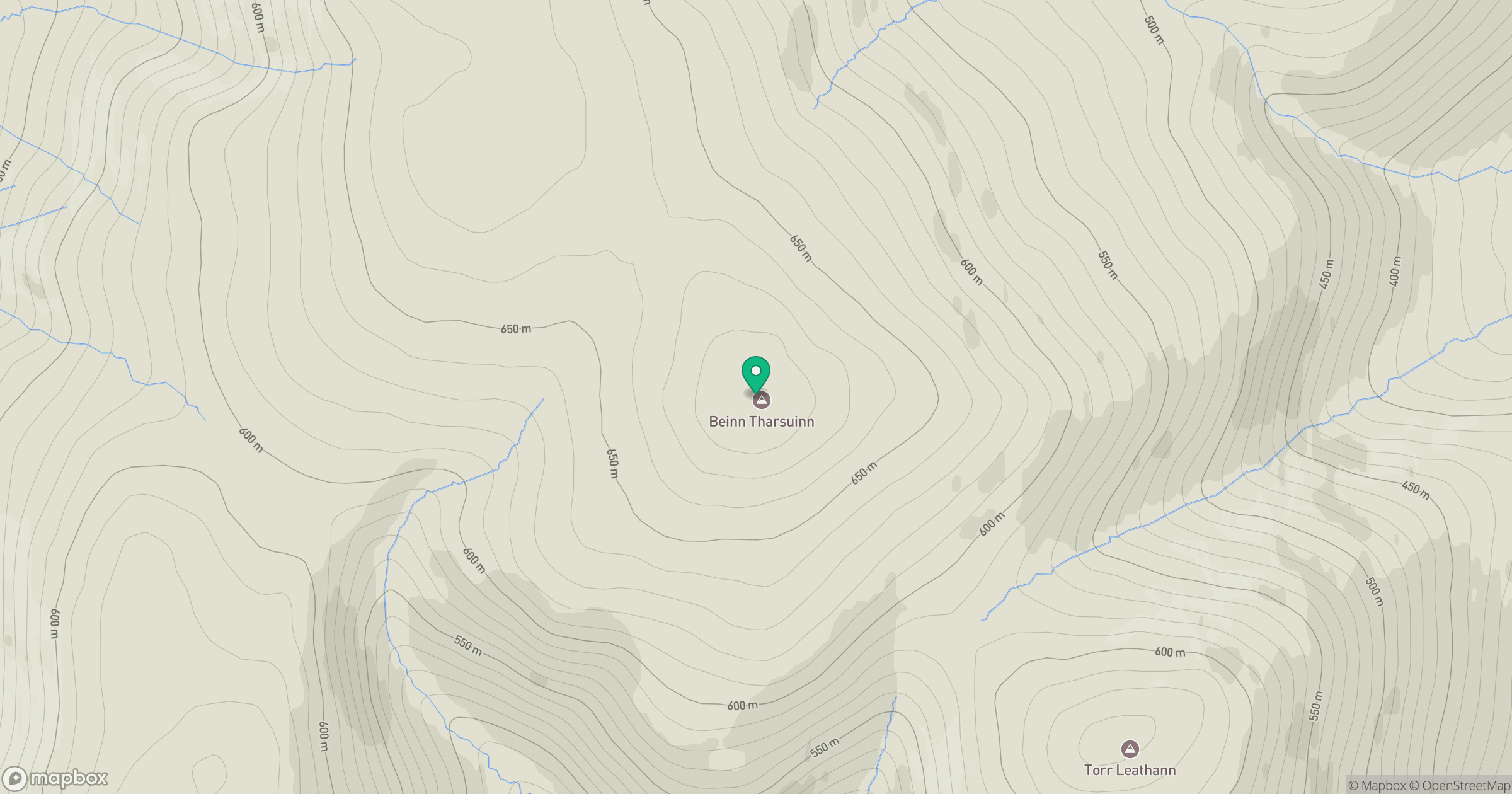
Grid reference: NH606792
View on OpenStreetMapOpens a map in a new tab, centred on the hill.
Nearby Hills
Cul Mor
393m
Seana Bhraigh
926m
Ben More Assynt
999m
Ben Loyal - An Caisteal
764m
Beinn Mheadhoin
541m
No comments yet. Be the first.