

Struie
Good walks are even better shared.
NH6584 : Craig na Cadhaig
Stuart Logan Photo source
Overview
Struie: A Marvel of the Highlands
Introduction
Struie is a Marilyn located in the picturesque Scottish Highlands, standing proudly at 478 meters. Though it may not be the highest mountain in the area, it offers stunning views and a range of hiking routes that are sure to delight outdoor enthusiasts of all abilities.
Geology
The geology of Struie is predominantly volcanic and metamorphic, with granite and schist outcrops scattered throughout the landscape. These rocky formations not only add to the mountain's rugged charm but also offer some fascinating insights into Scotland's geological past. One could say Struie puts the 'rock' in 'rocky highland adventure'!
Routes
The Struie Hill Circuit is a popular route that allows hikers to experience both the beauty of the forest and breathtaking views from the summit. This moderately challenging circuit spans approximately 6.5 kilometers, making it a perfect choice for an afternoon adventure.
Summit Features
Reaching the summit reveals a delightful stone cairn, a true testament to the hikers that have come before. The panoramic views offer a treat for the senses, as you'll see the Moray Firth glistening in the distance.
Terrain
Hikers can expect a mixed terrain on Struie, comprising grassy slopes, some rocky paths, and even charming woodland sections that provide a perfect break from the sun's rays.
Views
On a clear day, you won't want to forget your camera! Expect incredible vistas including the nearby Ben Wyvis and the sparkling waters of the Cromarty Firth. The best seasons for enjoying these views are undeniably spring and autumn, when Mother Nature seems to pull out all the stops with blooming flowers and vibrant foliage.
Hazards
While the hike is accessible, don’t let caution fall by the wayside. Hugging the rocks comes with the risk of falling rocks, and the weather—well, it’s the Highlands, so pack your waterproofs just in case!
Nearby Summits
If you've got some energy left in the tank, consider extending your adventures to nearby peaks like Ben Wyvis and Meall na h-Abair, which boast even more breathtaking views and challenging hikes.
Access
Getting to Struie is a breeze, with a small car park at NH653841 right off the B9176. For those relying on public transport, the bus stop in Contin provides the closest link, though a car is advisable to truly enjoy this glorious area.
Facilities
After your hike, treat yourself in Dingwall where you can find a range of cafes and pubs to replenish your energy.
Conclusion
Struie is not just a walk in the park; it is an adventure through history, geology, and nature itself. So lace up those boots, grab your walking stick, and prepare for a delightful Highland escapade!
Explore routes near Struie
Walks starting near this hill. Open a route to check its map, distance and full itinerary.
Loch Migdale from Torroy: Spinningdale pinewood and loch shore walk
View route
Culbin Forest: Hill 99, Gravel Pit Ponds and Dragonfly Pool
View route
Ben Klibreck
View route
Findhorn guided night walk
View route
Route planning notes
These notes describe possible approaches. Check a route's map and access information when planning your walk.
Struie Hill Circuit
A circular route that begins at the car park near the B9176 and takes you through lush forests and along the ridge to reach the summit.
Make a day of it, together
Find someone to share the walk with, or organise a day out along a route you like.
Photo Gallery
View all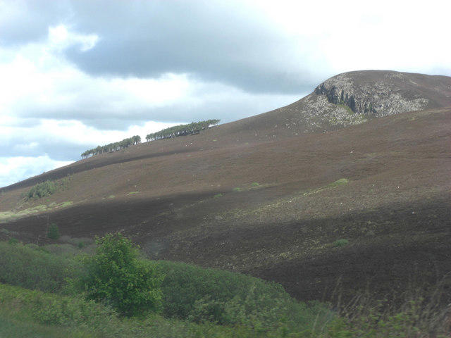 Photo could not load
NH6584 : Craig na Cadhaig
Stuart Logan
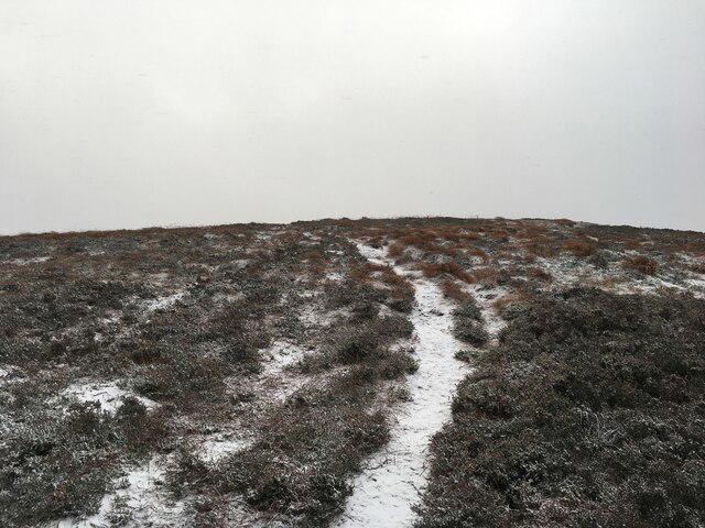 Photo could not load
NH6585 : Path on the Struie
Steven Brown
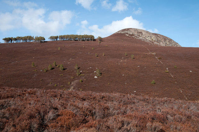 Photo could not load
NH6584 : Struie
Trevor Littlewood
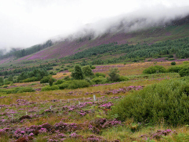 Photo could not load
NH6585 : Struie Hill
David Dixon
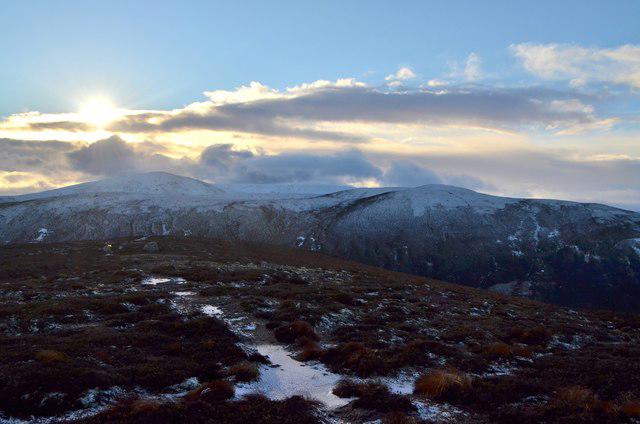 Photo could not load
NH6584 : Summit of Creag na Cadhaig, Struie, Ross-shire
Andrew Tryon
Hill facts and local notes
Classifications
Elevation
373m
1,224 ft
Prominence
157m
Coordinates
57.8343, -4.2611
NH658849
OS Map
21
Explorer: 438W
At the Summit
At the summit, you will find a stone cairn marking the highest point, as well as breathtaking views of the surrounding landscape. On a clear day, you might even spot the silhouette of Ben Wyvis in the distance.
Terrain & Geology
Struie is primarily composed of volcanic and metamorphic rocks, contributing to its rugged and scenic landscape. In places, you might encounter granite outcrops, which add a delightful challenge to your hike.
Views & Scenery
Views of the Moray Firth and nearby mountain ranges such as Ben Wyvis. You might also catch sight of Cromarty Firth to the north.
History & Heritage
Name Origin
The name 'Struie' is derived from the Scottish Gaelic 'Struth', meaning 'stream', which is fitting given the area's delightful network of waterways.
Historical Significance
Struie holds cultural significance as it is a notable local landmark, often featured in Scottish folklore and tales.
Getting There & Facilities
Parking
There is a small car park located at NH653841 on the B9176, which allows for easy access to the trailhead.
Public Transport
The nearest bus stop is in the village of Contin, about 6 miles away. However, a car is highly recommended for easier access.
Nearby Facilities
While there are no facilities directly on Struie, you can find cafes and pubs in Dingwall for refreshments after your hike.
Safety Information
Known Hazards
- Falling rocks on the ascent and descent, as well as unpredictable weather conditions typical of the Highlands.
General Safety Tips
- Check weather conditions before setting out
- Carry appropriate clothing and equipment
- Let someone know your planned route
- Take a map, compass, and GPS device
- Carry emergency supplies: food, water, first aid kit, torch
Hills
Some common questions about the hills answered
Are there group walks up Struie?
Many walkers use Walkmates to join or organise walks with others. You can check for group walks around Struie through the maps
Are there other walkers around Struie?
Activity varies by location and time, but Walkmates lets you see whether others have shared walks or shown interest in this area. Find other people through the walking friends search walking friends for Struie search or of course create your own walk for Struie
Can I organise a walk to Struie?
Yes. If there aren’t any walks listed already, you can create a walk and make it available for others to join.
If you're signed up to Walkmates, you can create a walk to Struie.
How do I find a walk up this hill?
There are often multiple ways to walk this hill, depending on experience and route preference. Walkmates helps you explore walks and routes that others have shared.
Can I suggest a new route up Struie?
Yes. You can suggest or create routes to share with others. Walkmates focuses on the social side of walking, so routes are used to help people organise walks and explore areas together, rather than as detailed navigation tools or route libraries.
Other uses really appreciate knowledgeable walkers sharing their routes. Share your favourite route to Struie here
The is an error or something incorrect about this hill. How do I let you know?
We always strive to keep the information on Walkmates as accurate as possible. If you find an error, please let us know through the contact form and we'll aim to correct it as quickly as possible
Community Discussion
Comments
Location
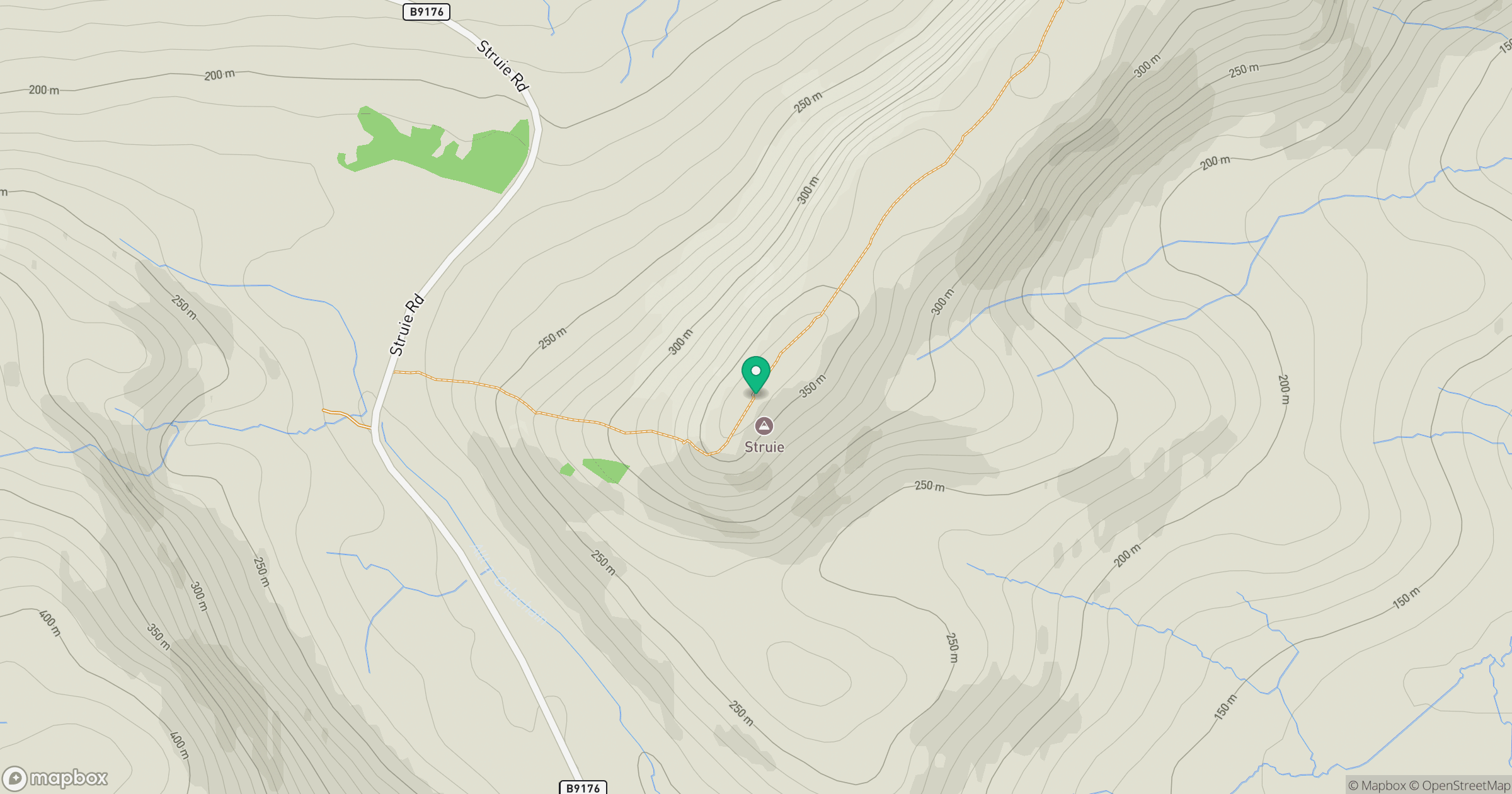
Grid reference: NH658849
View on OpenStreetMapOpens a map in a new tab, centred on the hill.
No comments yet. Be the first.