

Beinn Edra
Good walks are even better shared.
Overview
Beinn Edra: The Hill of the Two Slopes
Beinn Edra, a distinguished Munro nestled in the stunning Scottish Highlands, brims with natural beauty and historical significance. Rising to 610 meters, this mountain offers both seasoned climbers and enthusiastic beginners a chance to marvel at its splendid vistas.
Geology
The mountain’s rocky contours are largely composed of schist and gneiss, providing fascinating insights into the geological history of the Highlands. The enduring nature of these rocks speaks to millions of years of natural processes, a true testimony to time.
Routes
The most popular way to reach the summit is via the Coire nan Laogh route. It’s well-marked, and offers a scenic climb, making it a favourite among hikers. With a distance of 8.5 kilometers round trip and estimated ascent time of around 3.5 hours, it’s moderately challenging, perfect for those wishing to enjoy nature without the necessity of being part mountain goat.
Summit Features
At the summit, you’ll find a respectable cairn, elevating your sense of accomplishment (and it’s also a perfect backdrop for your Instagram!). Keep your eyes peeled for the local wildlife; on lucky days, a majestic eagle might even decide to hold a staring contest with you.
Terrain
Expect a mix of rocky paths and grassy patches, though you might traverse through some boggy areas if Mother Nature has been generous with her rainfall. A good pair of hiking boots will serve you well.
Views
Once you reach the top, prepare to be breathless—not just from the hike! The 360-degree views will leave you in awe as you gaze down at Loch Snizort, the Skye Cuillin, and possibly the Outer Hebrides. Early mornings and autumn days are particularly stunning here; a camera is a must!
Hazards
Be sure to be mindful of the weather; it can change faster than you can say ‘scotch mist’, catching many a hiker off guard. Stick to paths where possible, and be cautious on slick surfaces.
Nearby Summits
Beinn Edra is in good company. Nearby, you can challenge yourself with a climb to Ben Tianavaig, another beautiful hill with its own stunning perspectives.
Access
The journey begins at a small car park located at the end of the B885 road. For those relying on public transportation, there are buses operating from Portree to the nearest villages, making it accessible even if you forgot to pack the car snacks.
Portree, the nearest town, is well-equipped with facilities including cafes and shops, perfect for a warm drink before or after your trek!
Facilities
And speaking of Portree, it has everything you might need, including public toilets, providing peace of mind before you hit that trail.
History
The name Beinn Edra translates to 'Hill of the two slopes', a nod to its distinct shape that has captivated locals and visitors alike through the ages.
In summary, a trek to Beinn Edra isn’t just a quest for a summit; it’s an opportunity to witness the astounding beauty of the Scottish Highlands wrapped in a story that transcends time. So lace up those boots and get ready for an experience that’s bound to stay in your heart long after the journey ends!
Explore routes near Beinn Edra
Public walks starting within 80 km of this hill. Nearby does not mean a route reaches the summit; check its map and access before setting out.
Fairy Lochs Liberator Wreckage Circuit
View route
Beinn Eighe Lancaster Wreckage at Coire Mhic Fhearchair
View route
Berneray Community Hall to the beautiful beach
View route
Beautiful private beach walk Isle of Harris
View route
Route planning notes
These notes describe possible approaches, not verified navigable routes or permission to cross land. Check current paths, local access rules and conditions before setting out.
Coire nan Laogh route
A well-trodden path starting at the car park, leading up through Coire nan Laogh, a pleasant ascent with stunning views.
Make a day of it, together
Find someone to share the walk with, or organise a day out along a route you like.
Photo Gallery
View all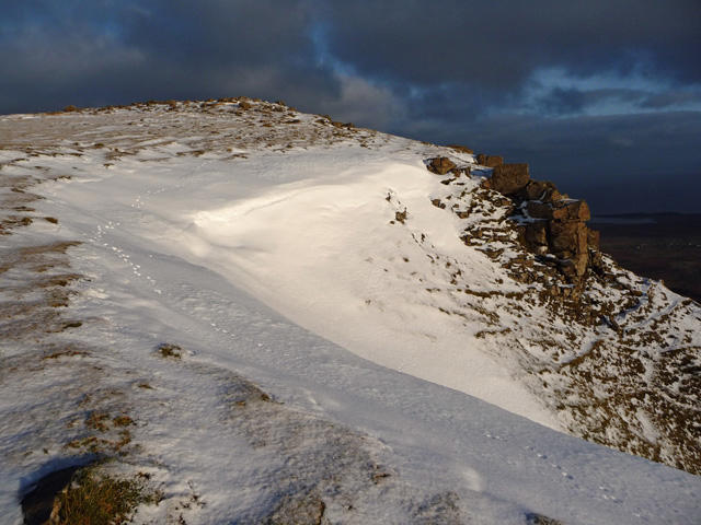 Photo could not load
NG4562 : Beinn Edra
John Allan
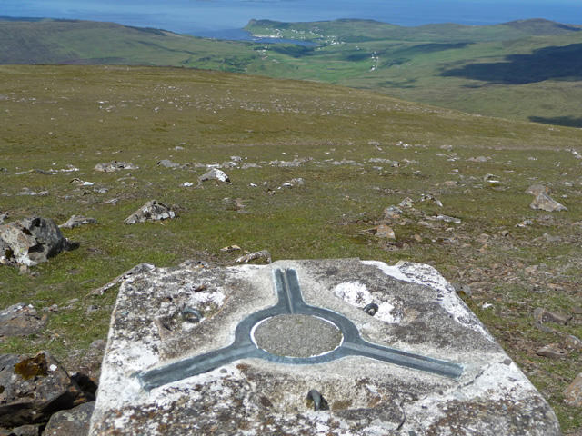 Photo could not load
NG4562 : West side of Beinn Edra
John Allan
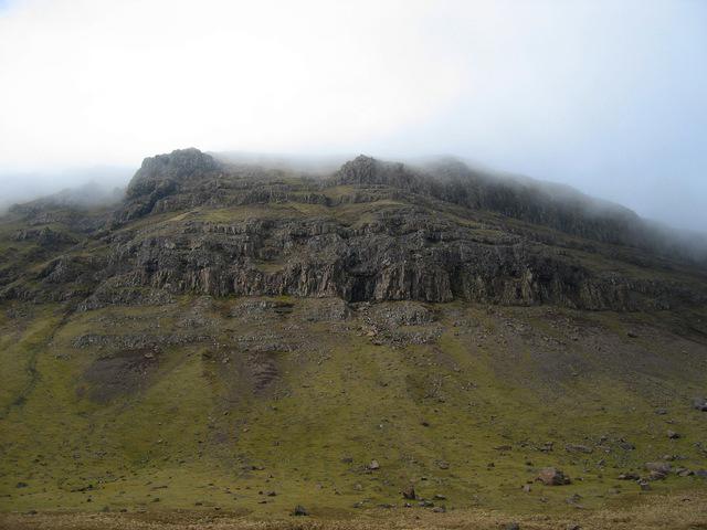 Photo could not load
NG4562 : The east face of Beinn Edra
John Allan
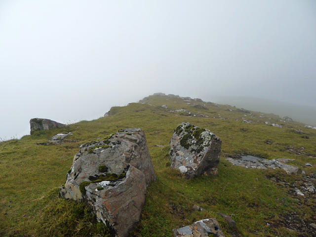 Photo could not load
NG4562 : Summit ridge of Beinn Edra
John Allan
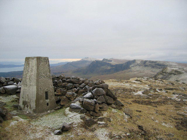 Photo could not load
NG4562 : Beinn Edra Summit
John Allan
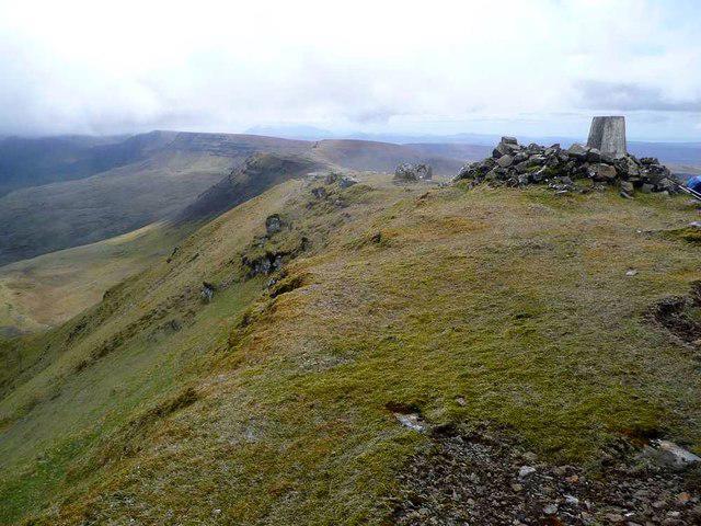 Photo could not load
NG4562 : The trig on Beinn Edra
Gordon Brown
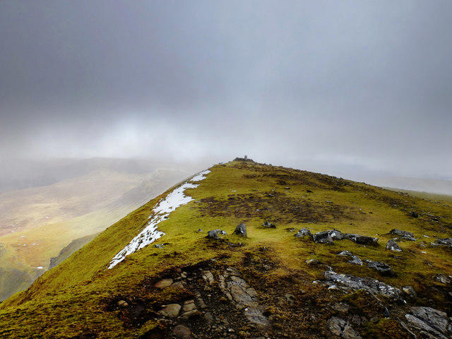 Photo could not load
NG4562 : Summit of Beinn Edra
John Allan
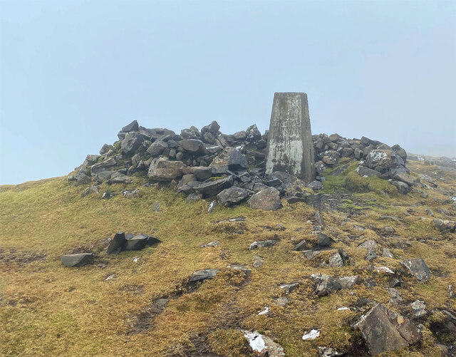 Photo could not load
NG4562 : Summit of Beinn Edra
John Allan
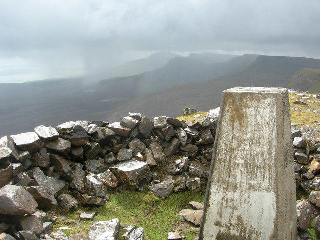 Photo could not load
NG4562 : Beinn Edra summit and trig point
Didier Silberstein
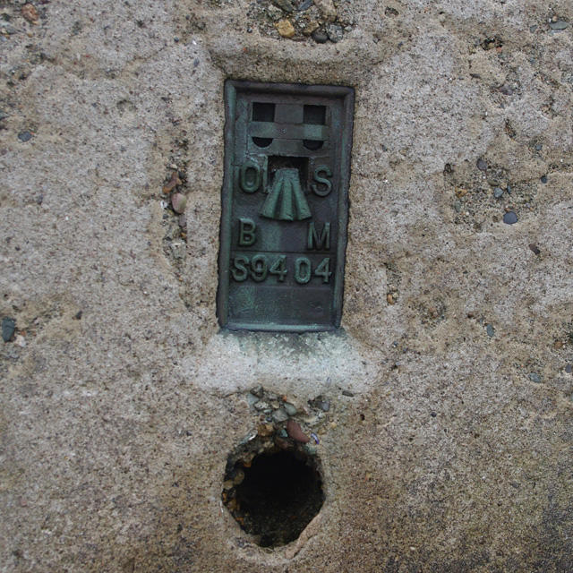
NG4562 : Flush bracket S9404
Ian Taylor
Hill facts and local notes
Classifications
Elevation
611m
2,005 ft
Prominence
121m
Coordinates
57.5822, -6.2582
NG455626
OS Map
23
Explorer: 408
At the Summit
The summit is marked by a substantial cairn, ideal for that all-important photo opportunity. On a clear day, you might even spot a passing eagle or two eyeing you curiously.
Terrain & Geology
Beinn Edra is primarily composed of schist and gneiss, typical of the metamorphic geology found in the Highlands. This rocky formation provides an interesting look at Earth's geological processes over millions of years.
Views & Scenery
From the summit, panoramic views include the rugged landscape of the Skye Cuillin, the shimmering waters of Loch Snizort, and beyond to the Outer Hebrides on a clear day.
History & Heritage
Name Origin
The name 'Beinn Edra' translates from Gaelic as 'Hill of the two slopes', reflecting its distinctive topography.
Historical Significance
Historically, Beinn Edra has been a significant landmark for local communities, serving as a source of inspiration for local folklore and tales.
Getting There & Facilities
Check current local access restrictions, parking rules and transport timetables before travelling. These notes do not confirm public access to the summit.
Parking
There is a small car park at the end of the B885 road, close to the starting point of the Coire nan Laogh route.
Public Transport
Buses run from Portree to the nearest villages, and it's a manageable hike from there.
Nearby Facilities
Portree, the nearest town, offers cafes, shops, and public toilets. Perfect for grabbing a coffee before your ascent.
Safety Information
Known Hazards
- Watch out for sudden weather changes which can obscure visibility. Slippery rocks and muddy patches can be a problem, especially after rain.
General Safety Tips
- Check weather conditions before setting out
- Carry appropriate clothing and equipment
- Let someone know your planned route
- Take a map, compass, and GPS device
- Carry emergency supplies: food, water, first aid kit, torch
Hills
Some common questions about the hills answered
Are there group walks up Beinn Edra?
Many walkers use Walkmates to join or organise walks with others. You can check for group walks around Beinn Edra through the maps
Are there other walkers around Beinn Edra?
Activity varies by location and time, but Walkmates lets you see whether others have shared walks or shown interest in this area. Find other people through the walking friends search walking friends for Beinn Edra search or of course create your own walk for Beinn Edra
Can I organise a walk to Beinn Edra?
Yes. If there aren’t any walks listed already, you can create a walk and make it available for others to join.
If you're signed up to Walkmates, you can create a walk to Beinn Edra.
How do I find a walk up this hill?
There are often multiple ways to walk this hill, depending on experience and route preference. Walkmates helps you explore walks and routes that others have shared.
Can I suggest a new route up Beinn Edra?
Yes. You can suggest or create routes to share with others. Walkmates focuses on the social side of walking, so routes are used to help people organise walks and explore areas together, rather than as detailed navigation tools or route libraries.
Other uses really appreciate knowledgeable walkers sharing their routes. Share your favourite route to Beinn Edra here
The is an error or something incorrect about this hill. How do I let you know?
We always strive to keep the information on Walkmates as accurate as possible. If you find an error, please let us know through the contact form and we'll aim to correct it as quickly as possible
Community Discussion
Comments
Location
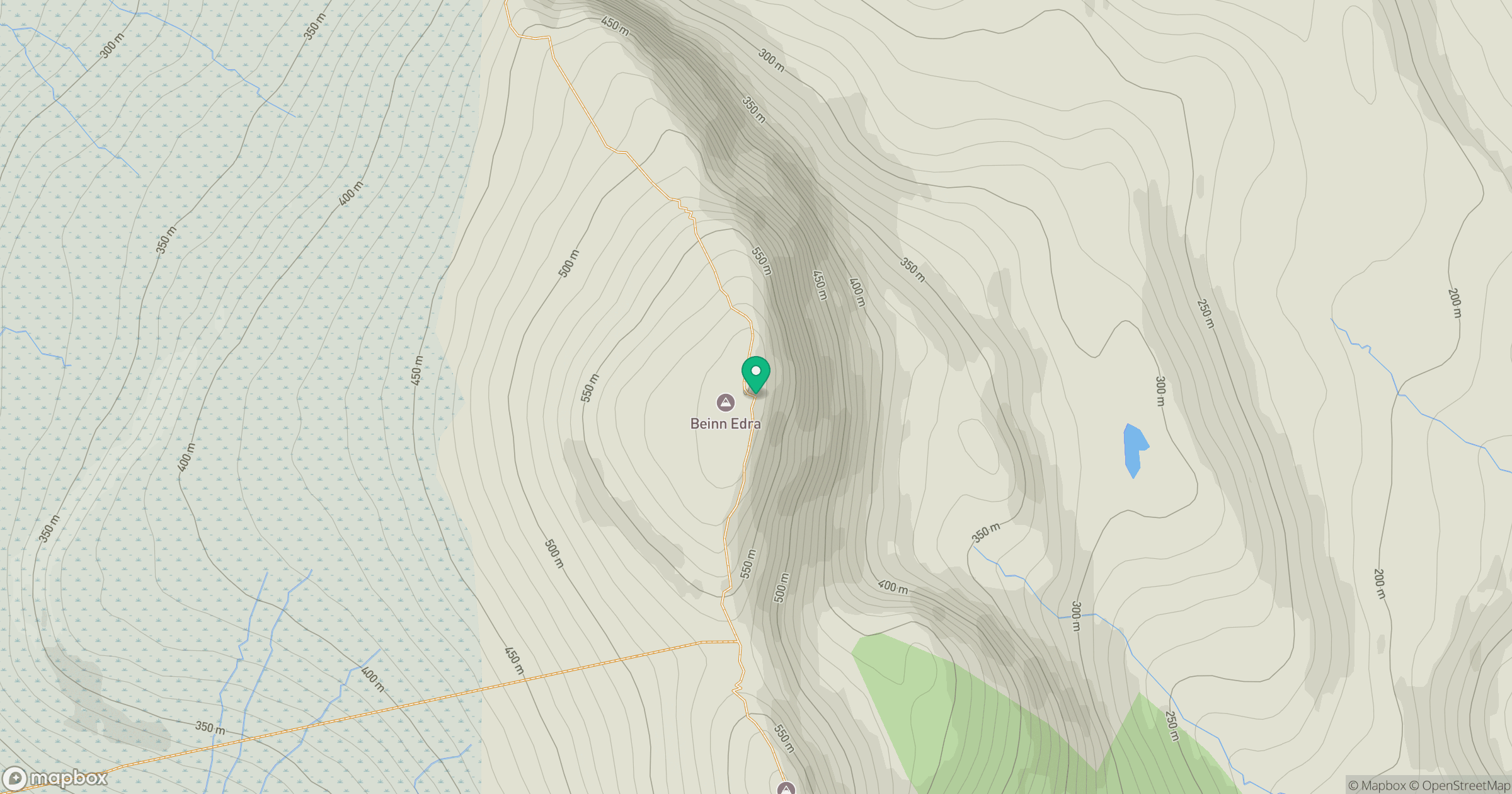
Grid reference: NG455626
View on OpenStreetMapOpens a map in a new tab, centred on the hill.
Hills within 30 km
Straight-line distance, not a walking route or confirmation of access.
No comments yet. Be the first.