

Barbury Down
Good walks are even better shared.
SU1575 : The Ridgeway on a lane passing Upper Herdswick Farm
Rob Purvis Photo source
Overview
Barbury Down: A Hiker's Haven
Nestled in the scenic North Wessex Downs, Barbury Down stands proud at 220 meters, making for a delightful day out for those who fancy a gentle jaunt in the greenery.
Geology
Barbury Down is characterised by its soft white chalk landscape, a hallmark of the area, which supports a unique variety of flora and fauna. Look out for the beautiful wildflowers that bloom in the spring – it's like Mother Nature's own patchwork quilt!
Routes
The Barbury Castle Loop is the most popular route, a mere 3.2 km trail that circles around the ancient hill fort of Barbury Castle. This easy jaunt takes about 1.5 hours, making it perfect for families or those who want to take it easy. The only challenge you might face is choosing which path to take—there are many tempting trails!
Summit Features
At the summit, you'll find a trig point, a classic feature of the British landscape. Don't forget to add it to your Instagram collection!
Terrain
The terrain is mostly grassy with gentle inclines, so it's not going to knock your socks off—unless, of course, you choose to walk a bit too close to the edge!
Views
The views from the top are nothing short of spectacular! On clear days, gaze upon the distant spires of Oxford and the enchanting Cotswolds rolling in the background. Spring and autumn are especially lovely times to visit if you want to witness nature at its finest.
Hazards
Keep an eye out for farming machinery in the fields, as this area is actively farmed. We all love a good farm, but it’s best to keep your distance from any large tractors—trust me on this!
Access
Getting there is a breeze! Park at the Barbury Castle car park off the A4361, where the adventure begins. If you’re relying on public transport, buses run from Swindon to Ogbourne St. George, followed by a charming 30-minute walk to reach the summit.
Nearby Summits
While you're out mastering Barbury Down, consider visiting nearby summits such as West Overton Hill at 252 meters, and of course, the historical Barbury Castle which stands at 235 meters.
Facilities
Facilities are a bit limited on-site—think of it as a true escape into nature. However, you’ll find quaint cafes in the nearby village, and public toilets in Swindon, ensuring you’re not caught short during your adventure.
History
The name Barbury means 'Birch hill' in Old English, a nod to the birch trees that once grew in abundance here. The area is steeped in history, with Barbury Castle being a significant Iron Age site.
So, lace up your boots, grab a thermos of tea, and set off for Barbury Down! You won’t regret it. Bring a friend, and remember: The only bad hike is the one you don't take!
Explore routes near Barbury Down
Walks starting near this hill. Open a route to check its map, distance and full itinerary.
Donkey Walk
View route
Chiseldon to Barbury Shooting School Circular Walk
View route
Devizes Wharf and Caen Hill Lock Flight Towpath Walk
View route
Newbury to Donnington Castle: Lambourn Valley Way via Speen and Bagnor
View route
Route planning notes
These notes describe possible approaches. Check a route's map and access information when planning your walk.
Barbury Castle Loop
A gentle loop starting at the car park leading through lovely countryside trails, circling around the ancient hill fort of Barbury Castle before reaching the summit.
Make a day of it, together
Find someone to share the walk with, or organise a day out along a route you like.
Photo Gallery
View all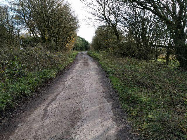 Photo could not load
SU1575 : The Ridgeway on a lane passing Upper Herdswick Farm
Rob Purvis
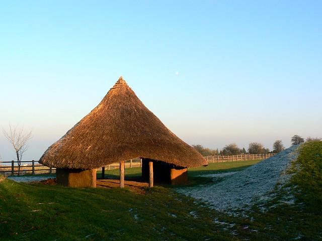 Photo could not load
SU1576 : Replica iron age roundhouse, Barbury
Brian Robert Marshall
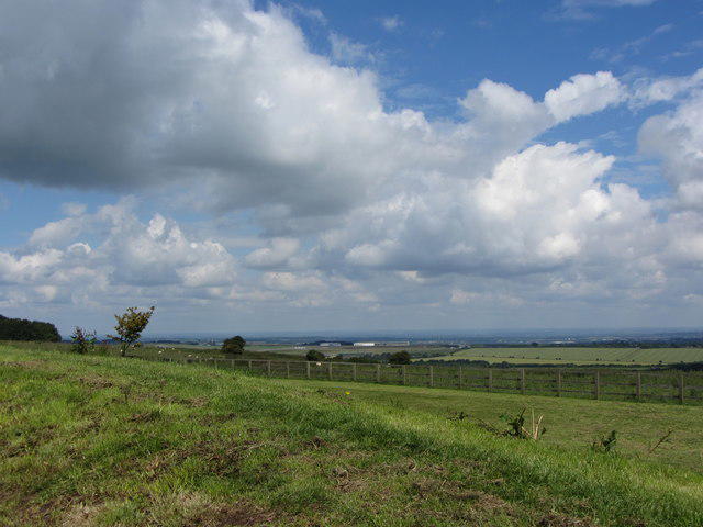 Photo could not load
SU1576 : View from the car park at Barbury towards Wroughton
Gareth James
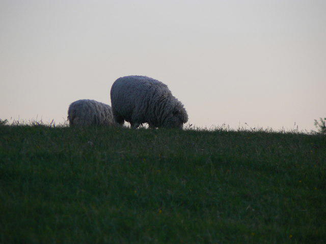 Photo could not load
SU1576 : Sheep near Barbury Castle
Brian Robert Marshall
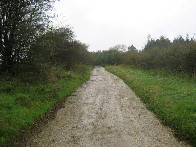 Photo could not load
SU1575 : Track near Upper Herdswick Farm
Chris Heaton
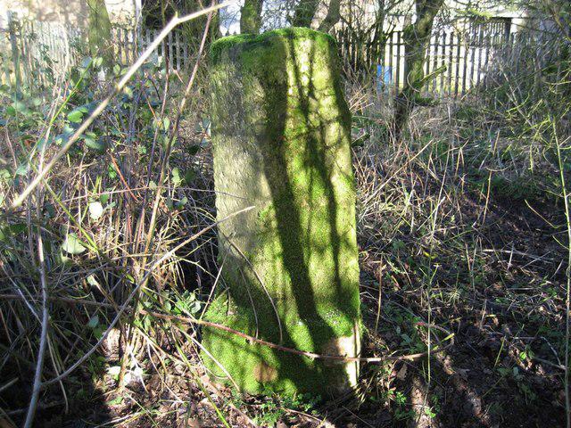 Photo could not load
SU1575 : Old Milestone near Ridgeway path, Upper Herdswick Farm
John Glew
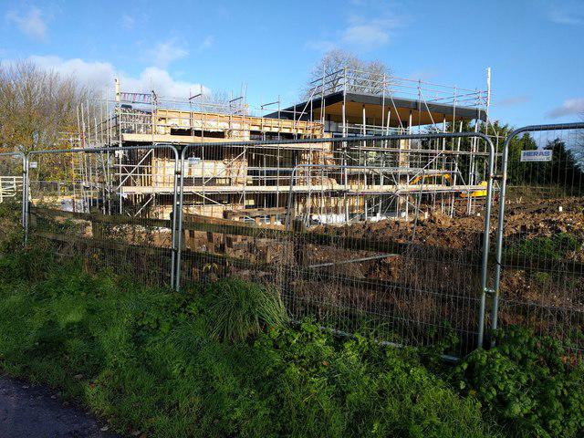 Photo could not load
SU1576 : New house being built near Barbury Castle car park
Rob Purvis
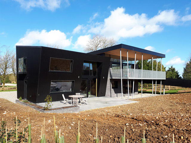 Photo could not load
SU1576 : 'Blackhouse', Barbury Castle
Vieve Forward
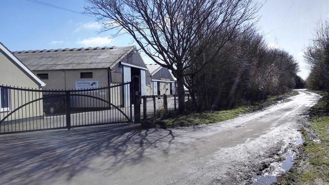 Photo could not load
SU1575 : Upper Herdswick Farm
James Emmans
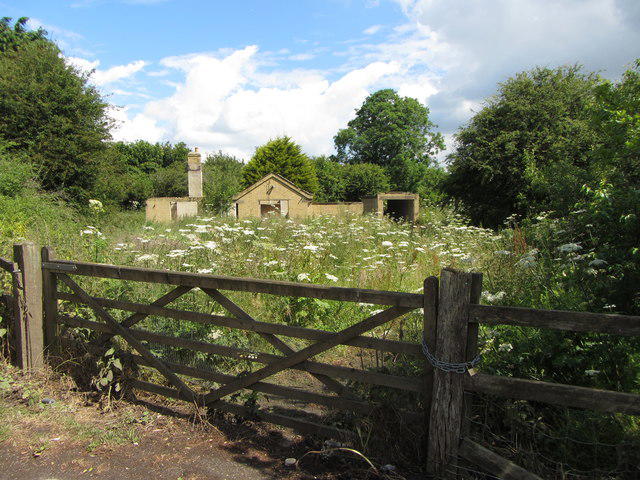
SU1576 : Derelict building near Barbury
Gareth James
Hill facts and local notes
Classifications
Elevation
270m
887 ft
Prominence
39m
Coordinates
51.4821, -1.7764
SU156759
OS Map
173
Explorer: 157 169
At the Summit
The summit boasts a prominent trig point, which is the cherry on top of this lovely hill, offering a great spot for selfies.
Terrain & Geology
Predominantly chalk downland, Barbury Down features a typical geology of soft white chalk, with flint nodules, creating a unique ecosystem that supports a diverse array of flora and fauna.
Views & Scenery
On clear days, you can see as far as the distant spires of Oxford and beyond to the rolling hills of the Cotswolds.
History & Heritage
Name Origin
The name 'Barbury' is derived from the Old English 'Birch hill', referring to the birch trees that once adorned its slopes.
Historical Significance
The area is rich in archaeological significance and is home to Barbury Castle, a scheduled ancient monument that dates back to the Iron Age.
Getting There & Facilities
Parking
Barbury Castle car park, located off the A4361. This is the ideal spot to start your adventure, unless you fancy doing a bit of unauthorised off-roading.
Public Transport
Regular bus services run from Swindon to the nearby village of Ogbourne St. George, followed by a scenic 30-minute walk.
Nearby Facilities
There are limited facilities on-site, but the nearby village has small cafes, and public toilets can be found in Swindon.
Safety Information
Known Hazards
- Farming machinery in fields nearby; be cautious when walking close to active farming areas.
General Safety Tips
- Check weather conditions before setting out
- Carry appropriate clothing and equipment
- Let someone know your planned route
- Take a map, compass, and GPS device
- Carry emergency supplies: food, water, first aid kit, torch
Hills
Some common questions about the hills answered
Are there group walks up Barbury Down?
Many walkers use Walkmates to join or organise walks with others. You can check for group walks around Barbury Down through the maps
Are there other walkers around Barbury Down?
Activity varies by location and time, but Walkmates lets you see whether others have shared walks or shown interest in this area. Find other people through the walking friends search walking friends for Barbury Down search or of course create your own walk for Barbury Down
Can I organise a walk to Barbury Down?
Yes. If there aren’t any walks listed already, you can create a walk and make it available for others to join.
If you're signed up to Walkmates, you can create a walk to Barbury Down.
How do I find a walk up this hill?
There are often multiple ways to walk this hill, depending on experience and route preference. Walkmates helps you explore walks and routes that others have shared.
Can I suggest a new route up Barbury Down?
Yes. You can suggest or create routes to share with others. Walkmates focuses on the social side of walking, so routes are used to help people organise walks and explore areas together, rather than as detailed navigation tools or route libraries.
Other uses really appreciate knowledgeable walkers sharing their routes. Share your favourite route to Barbury Down here
The is an error or something incorrect about this hill. How do I let you know?
We always strive to keep the information on Walkmates as accurate as possible. If you find an error, please let us know through the contact form and we'll aim to correct it as quickly as possible
Community Discussion
Comments
Location
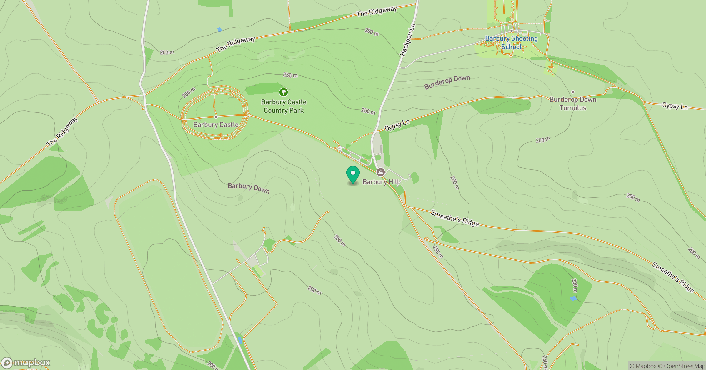
Grid reference: SU156759
View on OpenStreetMapOpens a map in a new tab, centred on the hill.
Nearby Hills
Worcestershire Beacon
425m
Glastonbury Tor
158m
Titterstone Clee Hill
533m

The Wrekin
407m
Leith Hill
294m
No comments yet. Be the first.