

Walbury Hill
Good walks are even better shared.
SU3761 : Byway over Walbury Hill
Robin Webster Photo source
Overview
Walbury Hill
Nestled in the breathtaking North Wessex Downs, Walbury Hill stands proudly as the highest point in Berkshire, making it a must-visit for hikers and nature lovers alike. At an elevation of 297 meters, this Marilyn offers both refreshing walks and striking panoramic views.
Geology
Walbury Hill is formed primarily of chalk, a soft white limestone that has shaped the character of the landscape. The hill is surrounded by rolling hills and vast grasslands which spring to life with wildflowers in the warmer months. The geography hosts an array of wildlife, so keep your eyes peeled for grazing sheep and vibrant skylarks!
Routes
One popular route is the Walbury Hill Circular Walk. Starting from the car park on the A338, this 5-km loop offers a moderate ascent that rewards hikers with stunning views at the top. Expect to dedicate about 1.5 hours to this little adventure. Don’t forget your camera – you’ll want to capture the quintessential English countryside!
Terrain and Summit Features
The terrain is primarily grassy with some slightly rocky patches and can be muddy after rain, so decent footwear is a must! At the summit, visitors are greeted by a sturdy trig point, a remnant from the early 20th-century surveying efforts. This spot, combined with historical earthworks nearby, makes for a fascinating stopping point.
Views
On a clear day, the vistas from Walbury Hill are nothing short of spectacular. You can see sweeping views of the North Wessex Downs and even catch a glimpse of distant landmarks like the spire of St. Mary's Church in Thatcham. For the best views, spring and autumn are particularly recommended, when the scenery is at its most vibrant.
Hazards
While the trails are generally safe, be cautious of sheep muck and watch your footing, especially after rainfall. And remember, weather can change rapidly in this part of the world – a sunny day can turn breezy and chilly quite suddenly, so it’s best to come prepared!
Access
Getting to Walbury Hill is a breeze! The nearest parking is a small car park along the A338. For those relying on public transport, nearby Hungerford and Newbury offer train stations and local bus services.
Facilities
While the hill itself is blissfully devoid of facilities, the nearby town of Hungerford has cafes and public toilets to cater to your needs after a day of exploration.
History
The name 'Walbury' is with roots in Old English, referring to a 'wooded hill.' Fascinatingly, the hill is rich in history with burial mounds hinting at ancient human activity in the area, making it not only a physical but also a historical journey.
So there you have it, Walbury Hill – a local gem for hiking enthusiasts, history buffs, and everyone in between. Pack your boots and enjoy the walk!
Explore routes near Walbury Hill
Walks starting near this hill. Open a route to check its map, distance and full itinerary.
Newbury to Donnington Castle: Lambourn Valley Way via Speen and Bagnor
View route
Thatcham short birding stroll
View route
Thatcham short birding stroll
View route
Chiseldon to Barbury Shooting School Circular Walk
View route
Route planning notes
These notes describe possible approaches. Check a route's map and access information when planning your walk.
Walbury Hill Circular Walk
A scenic circular route that begins from the car park near the hill, offering panoramic views and a gentle ascent to the summit.
Make a day of it, together
Find someone to share the walk with, or organise a day out along a route you like.
Photo Gallery
View all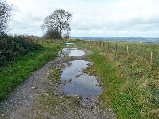 Photo could not load
SU3761 : Byway over Walbury Hill
Robin Webster
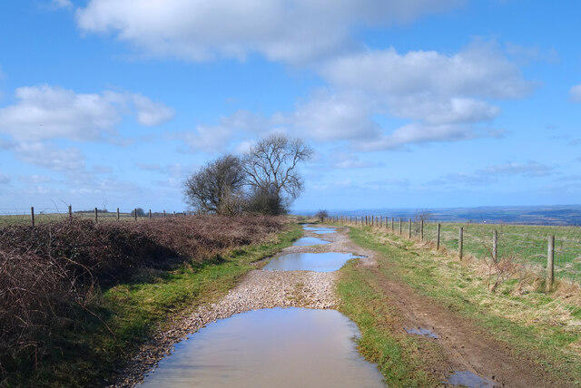 Photo could not load
SU3761 : Big Puddles on the Wayfarer's Walk
Des Blenkinsopp
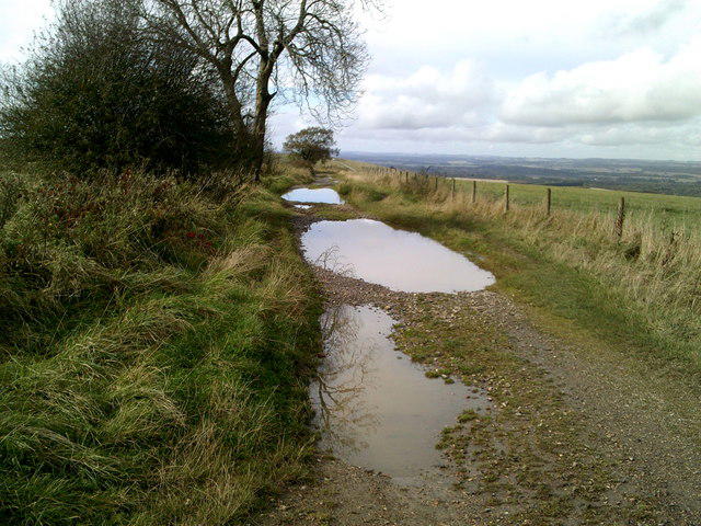 Photo could not load
SU3761 : Puddles on the Wayfarer’s Walk
Peter S
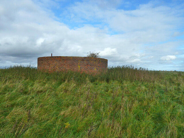 Photo could not load
SU3761 : Small covered reservoir, Walbury Hill
Robin Webster
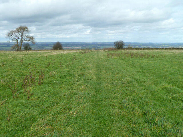 Photo could not load
SU3761 : Grassy track on top of Walbury Hill
Robin Webster
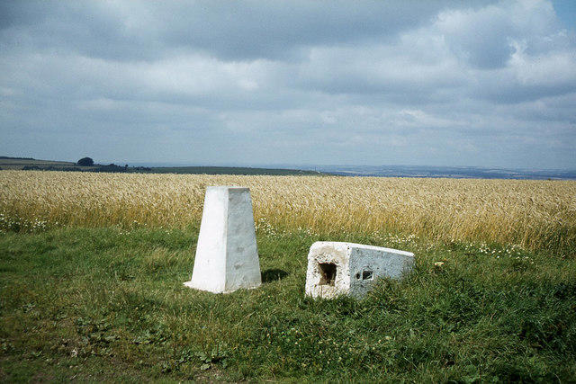 Photo could not load
SU3761 : 'New for old' - trig points on Walbury Hill
Colin Park
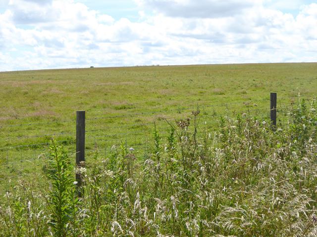 Photo could not load
SU3761 : The rather boring summit of Walbury Hill
Oliver Dixon
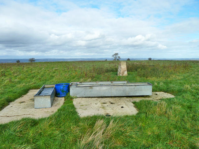 Photo could not load
SU3761 : At the top of Berkshire
Robin Webster
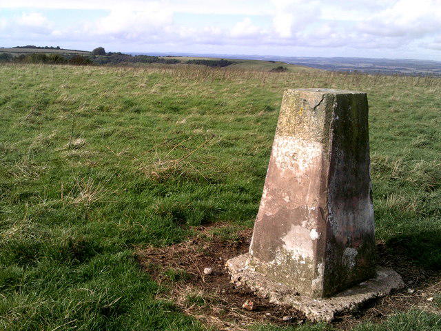 Photo could not load
SU3761 : Triangulation pillar, Walbury Hill
Peter S
Hill facts and local notes
Classifications
Elevation
297m
974 ft
Prominence
189m
Coordinates
51.3525, -1.4651
SU373616
OS Map
174
Explorer: 158
At the Summit
The summit is crowned with a prominent trig point, which provides excellent photo opportunities. Look out for the large prehistoric earthworks nearby, adding historical interest to your hike.
Terrain & Geology
Walbury Hill is primarily composed of chalk, a soft, white limestone formed from marine sediments. The hill's geology has created a striking landscape with lush grasslands that attract diverse flora and fauna.
Views & Scenery
From the summit, you can enjoy spectacular views over the surrounding countryside, including the rolling hills of the North Wessex Downs and distant landmarks like the spire of St. Mary's Church in Thatcham.
History & Heritage
Name Origin
The name 'Walbury' is thought to derive from the Old English words meaning 'wooded hill.'
Historical Significance
Walbury Hill has been a site of human activity for thousands of years, including ancient burial mounds and potential links to local folklore.
Getting There & Facilities
Parking
There is a small car park at the bottom of the hill on the A338 road, suitable for a few vehicles.
Public Transport
The nearest train stations are at Hungerford and Newbury, with local bus services connecting to the area.
Nearby Facilities
While there are no facilities directly on Walbury Hill, the nearest cafes and public toilets can be found in Hungerford.
Safety Information
Known Hazards
- Sheep grazing in the area can sometimes cause muddy trails, so watch your step! Also, be cautious of sudden weather changes, as it can become windy at the summit.
General Safety Tips
- Check weather conditions before setting out
- Carry appropriate clothing and equipment
- Let someone know your planned route
- Take a map, compass, and GPS device
- Carry emergency supplies: food, water, first aid kit, torch
Hills
Some common questions about the hills answered
Are there group walks up Walbury Hill?
Many walkers use Walkmates to join or organise walks with others. You can check for group walks around Walbury Hill through the maps
Are there other walkers around Walbury Hill?
Activity varies by location and time, but Walkmates lets you see whether others have shared walks or shown interest in this area. Find other people through the walking friends search walking friends for Walbury Hill search or of course create your own walk for Walbury Hill
Can I organise a walk to Walbury Hill?
Yes. If there aren’t any walks listed already, you can create a walk and make it available for others to join.
If you're signed up to Walkmates, you can create a walk to Walbury Hill.
How do I find a walk up this hill?
There are often multiple ways to walk this hill, depending on experience and route preference. Walkmates helps you explore walks and routes that others have shared.
Can I suggest a new route up Walbury Hill?
Yes. You can suggest or create routes to share with others. Walkmates focuses on the social side of walking, so routes are used to help people organise walks and explore areas together, rather than as detailed navigation tools or route libraries.
Other uses really appreciate knowledgeable walkers sharing their routes. Share your favourite route to Walbury Hill here
The is an error or something incorrect about this hill. How do I let you know?
We always strive to keep the information on Walkmates as accurate as possible. If you find an error, please let us know through the contact form and we'll aim to correct it as quickly as possible
Community Discussion
Comments
Location
View the hill's mapped position and surrounding paths.
Grid reference: SU373616
View on OpenStreetMapOpens a map in a new tab, centred on the hill.
Nearby Hills
Leith Hill
294m
Worcestershire Beacon
425m
Glastonbury Tor
158m
Ditchling Beacon
248m
Titterstone Clee Hill
533m
No comments yet. Be the first.